Hilltop cairns
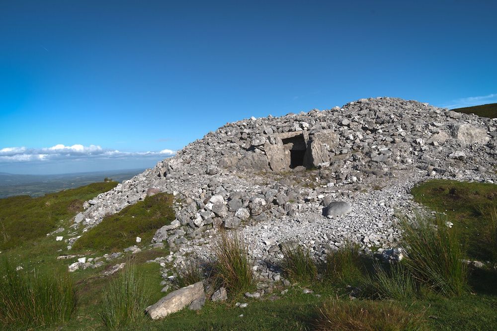
Observe the monuments from permitted ground and notice their positions across the upland. Their surroundings explain as much as their stonework.
heritage · Sligo
Carrowkeel feels different from a staffed heritage attraction. Its passage tombs occupy high ground in the Bricklieve Mountains, and the approach is part of understanding why people chose this landscape. The visit rewards walkers interested in archaeology, provided the weather, permitted access and their own preparation support the outing.
Source-based editorial assessment · out of 10
Choose Carrowkeel for a more exposed, less managed encounter with prehistoric Sligo. If your group needs interpretation, facilities and a predictable visitor route, start with Carrowmore instead. The two sites complement each other but are not interchangeable.
The hilltop route involves rural access and uneven ground. There is no visitor centre to compensate for poor preparation or unsuitable weather.
Best for: Hilltop cairns
Planning blend: 7.0 / 10 · Sustainability: unrated
Experience considers the reward and depth of this particular stop. Visitor friendliness considers practical ease: arrival, booking, physical demands, cost and flexibility. These are editorial judgements based on linked information, not visitor averages or a claim of a personal visit.
Assessed . Supporting guide source-check date: 2026-10-19. The assessment date does not mean every linked source was newly checked.
The blend uses (40 × Experience + 55 × Visitor friendliness) ÷ 95, rounded to the nearest half point. Missing sustainability does not affect it. A missing current visit score is not zero and has no blend.
A high score is not a safety clearance or a guarantee of step-free access. Food-stop scores concern the planned visit, not an untested meal. Read the scale and scope · Suggest a correction.
From research
Choose Carrowkeel for a more exposed, less managed encounter with prehistoric Sligo. If your group needs interpretation, facilities and a predictable visitor route, start with Carrowmore instead. The two sites complement each other but are not interchangeable.
Know before you book: The hilltop route involves rural access and uneven ground. There is no visitor centre to compensate for poor preparation or unsuitable weather.
Place highlights
Observe the monuments from permitted ground and notice their positions across the upland. Their surroundings explain as much as their stonework.
In good visibility the hills and lakes help reveal why these monuments belong to a wider landscape. Do not continue towards exposed ground just to improve a photograph.
The story behind the visit
The cemetery is part of a prehistoric passage-tomb tradition. Later damage and vandalism show how vulnerable an unstaffed monument can be, so leaving stones, surfaces and entrances untouched is central to making a responsible visit. Source ↗
Dated visitor information
Approach via Castlebaldwin and follow current official directions. Narrow rural lanes and the hill route require separate planning; the tomb coordinates are not a vehicle destination. Official visitor information ↗
Source information checked 19 October 2026; confirm current access and visitor arrangements with the operator.
No. Plan for an outdoor hilltop visit with limited facilities and prepare before leaving the nearest town. Source ↗
No. Protect the fragile monuments by staying off their stonework and following current site instructions. Source ↗
Nearby options
Distances are straight-line estimates between catalogue pins, within 30 km. Roads, entrances and walking routes may be much longer. Known closed places are excluded; inclusion does not confirm opening today.
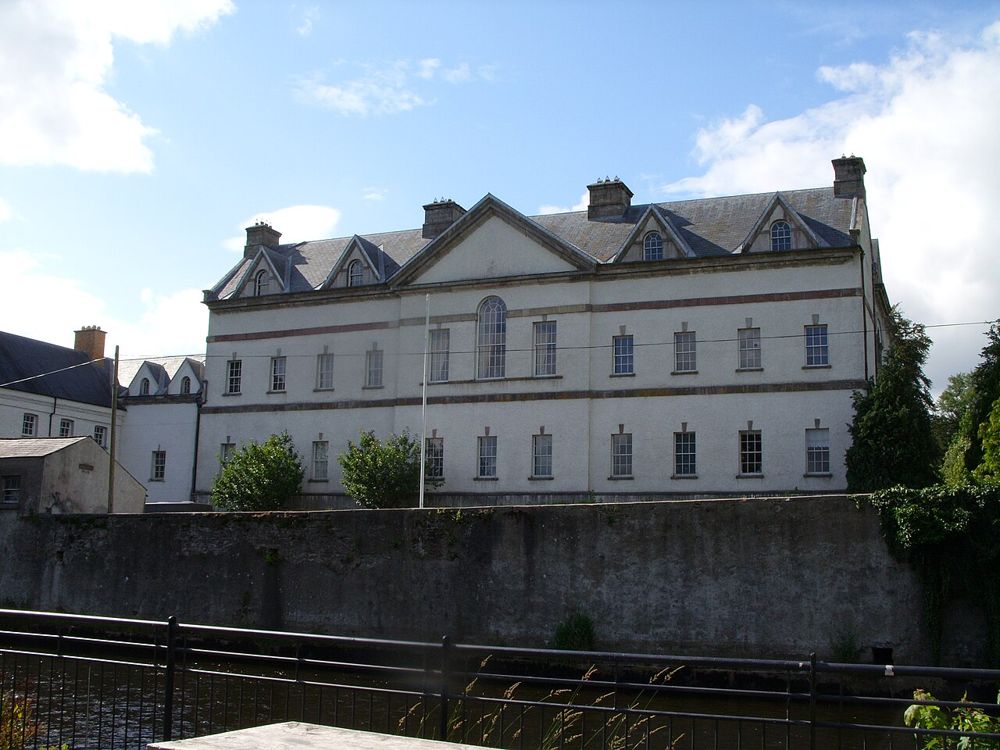
heritage · 10.8 km
King House gives Boyle a substantial indoor heritage stop. Its rooms have served very different purposes, from family home to military use, and the visitor experience follows those changes rather than…
Open place page →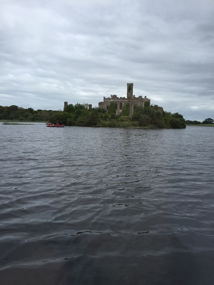
nature · 12.8 km
Lough Key is a forest day that can be quiet or activity-heavy depending on the choices you make. The lake and wooded estate are the constant; paid experiences, play and adventure activities are separate…
Open place page →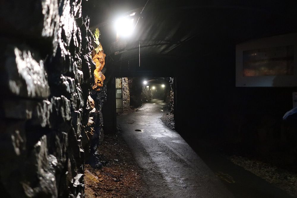
attraction · 17.8 km
Arigna makes industrial history physical. Going underground with a guide changes what narrow coal seams and hard working conditions mean in a way that a surface panel cannot. The hilltop setting adds a…
Open place page →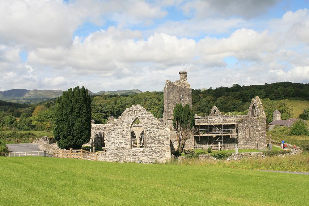
heritage · 19.7 km
Creevelea’s roofless walls make a satisfying small heritage stop near Dromahair. The ruined friary has enough surviving structure to follow its spaces, while the River Bonet gives the approach a gentler…
Open place page →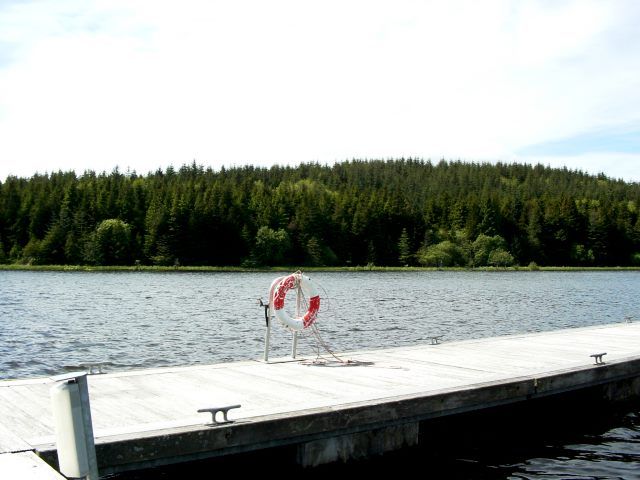
nature · 22.5 km
Acres Lake gives Drumshanbo a distinctive way to meet the water: a floating boardwalk rather than a road along the shore. The interest is in the low viewpoint across reeds and lake, not in covering a long…
Open place page →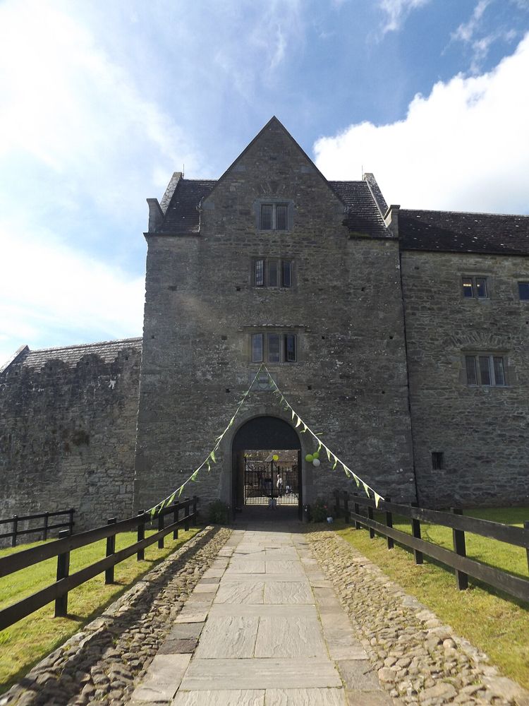
heritage · 23.2 km
Parke’s Castle is best understood with Lough Gill beside it. The water gives the restored courtyard house its setting, while the building tells a more complicated story than a simple medieval fortress. Inside,…
Open place page →The accessible travel account recommends allowing more time than a quick route estimate and distinguishes Carrowkeel’s exposed setting from the interpreted visit at Carrowmore. It is one published guide, not a broad review survey; use current official access directions over informal shortcuts.
Original paraphrases of public visitor accounts. These are limited perspectives, not a representative survey or a claim of our own visit. Use current operator information for access and opening.
Location & access
The hilltop route involves rural access and uneven ground. There is no visitor centre to compensate for poor preparation or unsuitable weather.
54.05700, -8.38400 · Reference point; confirm the correct entrance and access. Map © OpenStreetMap contributors.
Source-based place brief. A catalogue reference is not a live availability check or a report of a personal visit.
Visitor details checked 19 October 2026. Page content updated 2026-10-20.