
Lakeshore
Let the view change as you follow permitted public paths.
nature · Westmeath
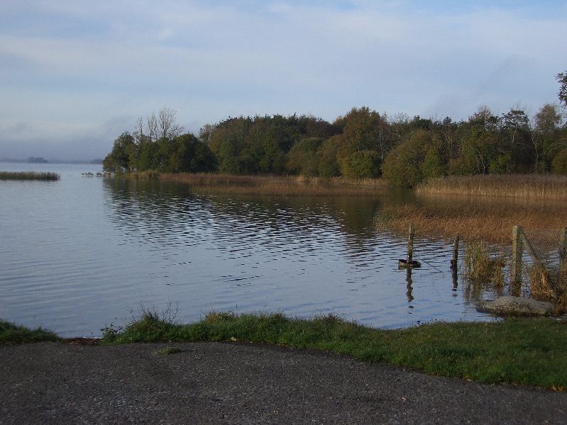
Lilliput gives a shore-level view of Lough Ennell, where the appeal is water, reeds and the changing sky rather than an elevated panorama. It is a gentle contrast to an indoor heritage visit.
Source-based editorial assessment · out of 10
Choose it for a lakeside pause or a walk from a confirmed public access point. This guide recommends a shore visit, not swimming or independent boating.
Check local signs, weather and any current water-quality notices. Private shorelines, campsites and activity operators are separate from public access.
Best for: Lakeshore and birdlife and reeds
Planning blend: 7.0 / 10 · Sustainability: unrated
Experience considers the reward and depth of this particular stop. Visitor friendliness considers practical ease: arrival, booking, physical demands, cost and flexibility. These are editorial judgements based on linked information, not visitor averages or a claim of a personal visit.
Assessed . Supporting guide source-check date: 2026-10-19. The assessment date does not mean every linked source was newly checked.
The blend uses (40 × Experience + 55 × Visitor friendliness) ÷ 95, rounded to the nearest half point. Missing sustainability does not affect it. A missing current visit score is not zero and has no blend.
A high score is not a safety clearance or a guarantee of step-free access. Food-stop scores concern the planned visit, not an untested meal. Read the scale and scope · Suggest a correction.
From research
Choose it for a lakeside pause or a walk from a confirmed public access point. This guide recommends a shore visit, not swimming or independent boating.
Know before you book: A lakeshore stop is most enjoyable when the simple plan is enough: a look across the water, a permitted short walk and time to sit if conditions suit. Do not turn it into a promised swimming afternoon or a circuit of the whole lake based on a scenic map pin.
Place highlights
Let the view change as you follow permitted public paths.
Observe from a distance without entering sensitive margins.
The story behind the visit
Lough Ennell has long shaped settlement, fishing and recreation around Mullingar. The Lilliput name adds a literary association, but the immediate reason to come is the lake itself. Source ↗
Dated visitor information
Use the signed Lilliput public amenity approach; the lake has several access points that should not be treated as interchangeable. Official visitor information ↗
Source information checked 19 October 2026; confirm current access and visitor arrangements with the operator.
No. This guide focuses on a shore visit at Lilliput. Do not assume all shoreline is public or connected by a path. Source ↗
No. The recommendation concerns the shore. Current water quality, local restrictions and water-safety advice require separate checks. Source ↗
Nearby options
Distances are straight-line estimates between catalogue pins, within 30 km. Roads, entrances and walking routes may be much longer. Known closed places are excluded; inclusion does not confirm opening today.
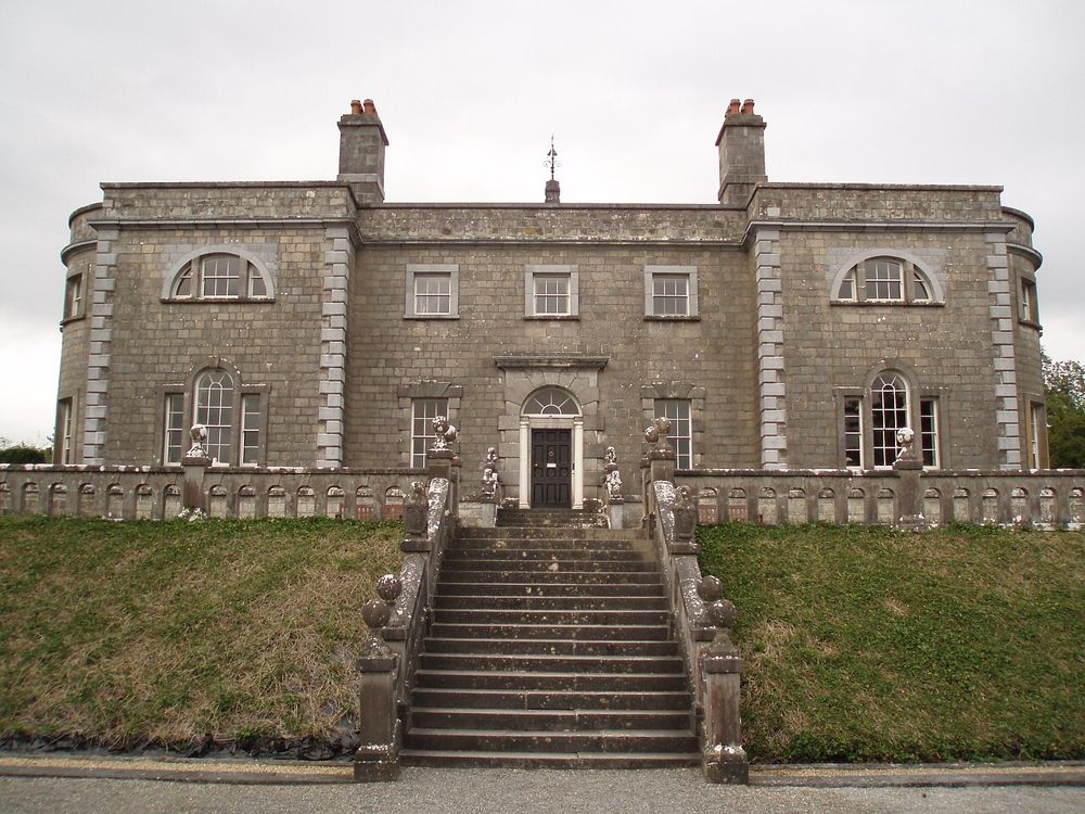
heritage · 3.3 km
Belvedere combines a lakeside estate walk with an unusually theatrical folly, the Jealous Wall. It works best when you let the grounds set the pace rather than rushing from house to wall.
Open place page →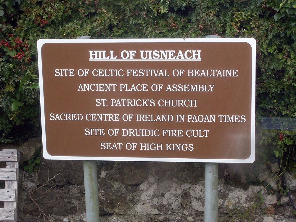
heritage · 11.6 km
Uisneach needs its stories as much as its views. A guided visit turns an apparently gentle hill into a landscape of archaeology, myth and ideas about Ireland's centre.
Open place page →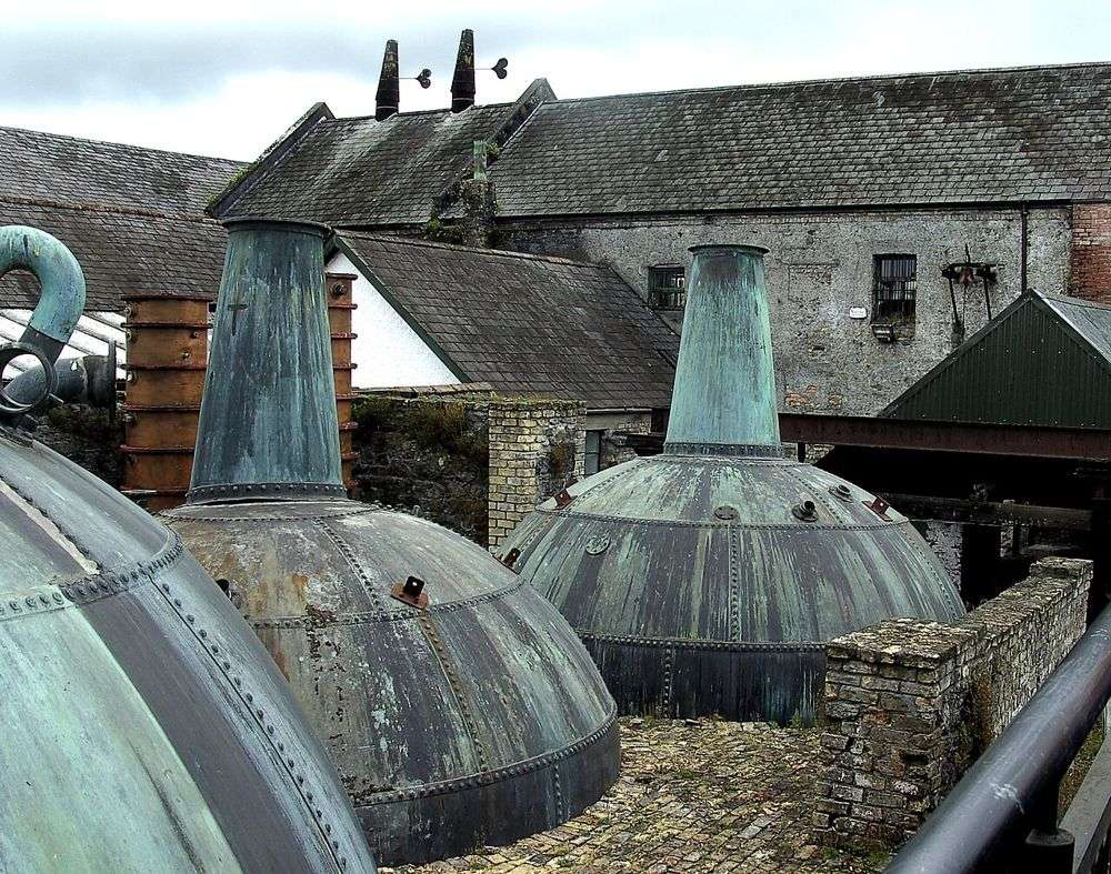
heritage · 11.9 km
Kilbeggan's old machinery, waterwheel and riverside setting give whiskey production a physical scale. It is a different proposition from a vast modern production tour. Go for the working heritage rather than…
Open place page →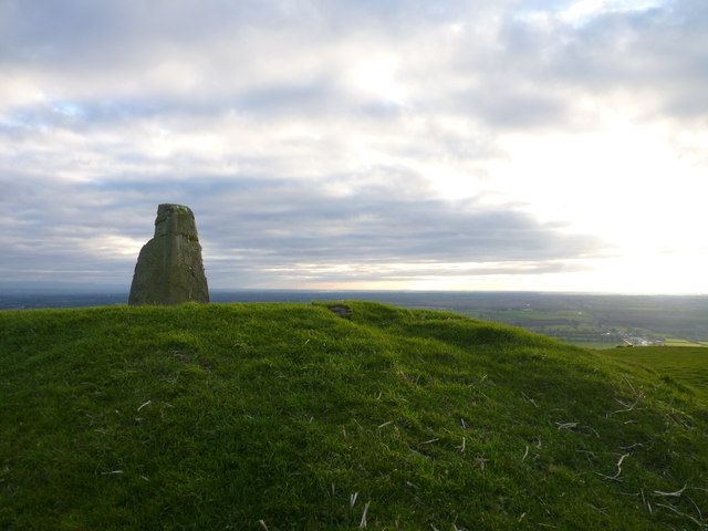
nature · 16.5 km
Croghan rises conspicuously from the low bog landscape. That contrast makes the walk rewarding: as the ground rises, the Midlands spread out rather than disappearing behind higher mountains.
Open place page →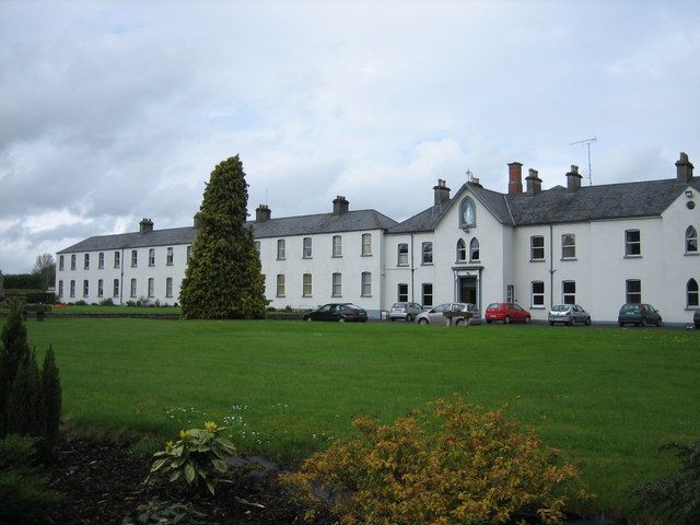
heritage · 18.8 km
Multyfarnham is still a place of worship, which changes the pace of a visit. The abbey and its setting suit a quiet look before exploring the village rather than a loudly narrated circuit.
Open place page →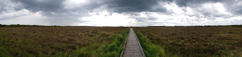
nature · 20.3 km
Clara's boardwalk puts visitors close to a raised bog without asking them to walk on the habitat itself. The reward is in small plants, pools and the feeling of a landscape holding water underfoot.
Open place page →One accessible account notes that the lake can be approached from several places for a walk. That is useful but also a limitation: a review of one shore cannot describe another. Choose the Lilliput arrival deliberately and verify its current signs rather than navigating to the middle of the lake.
Original paraphrases of public visitor accounts. These are limited perspectives, not a representative survey or a claim of our own visit. Use current operator information for access and opening.
Location & access
A lakeshore stop is most enjoyable when the simple plan is enough: a look across the water, a permitted short walk and time to sit if conditions suit. Do not turn it into a promised swimming afternoon or a circuit of the whole lake based on a scenic map pin.
53.45600, -7.39900 · Reference point; confirm the correct entrance and access. Map © OpenStreetMap contributors.
Source-based place brief. A catalogue reference is not a live availability check or a report of a personal visit.
Visitor details checked 19 October 2026. Page content updated 2026-10-20.