The sand spit
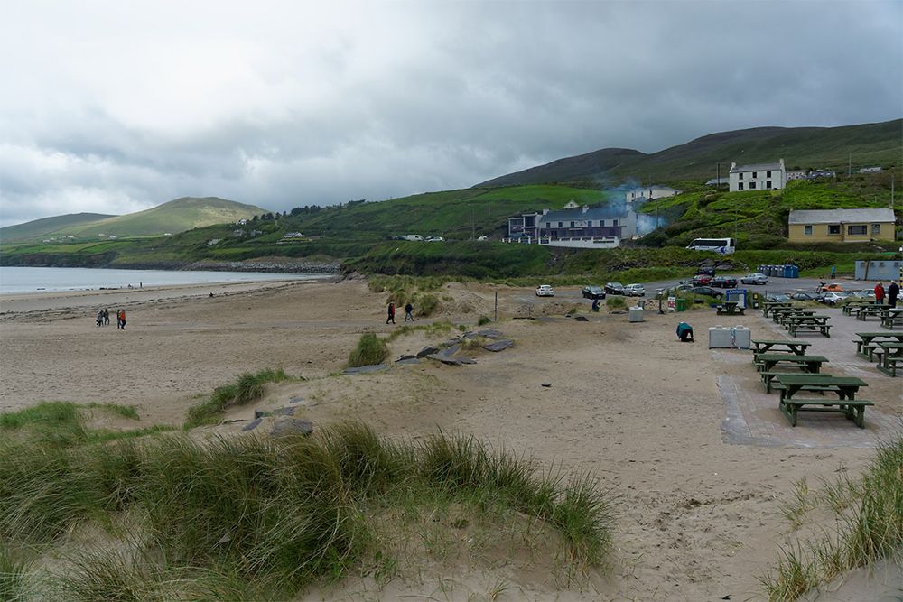
Notice how the beach projects into the bay rather than running beside a straight mainland coast. It explains the unusually open views in several directions.
coast · Kerry
Inch is a beach for looking into distance. The long sand spit reaches into Dingle Bay, opening views across water that can make a hurried roadside stop feel oddly small. Walk only as far as suits the tide and weather; you do not have to reach the far end to feel the scale.
Source-based editorial assessment · out of 10
A good contrast to Dingle’s narrower lanes and cliff stops, particularly when your group wants room rather than another ticketed visit. Keep expectations coastal: wind, wet sand and a busy entrance can be as real as the broad, quiet beach in photographs.
Read the beach noticeboard and follow current lifeguard flags and advice. Published summer lifeguard references do not establish cover in October or at the moment of your visit.
Best for: The sand spit
Planning blend: 7.5 / 10 · Sustainability: unrated
Experience considers the reward and depth of this particular stop. Visitor friendliness considers practical ease: arrival, booking, physical demands, cost and flexibility. These are editorial judgements based on linked information, not visitor averages or a claim of a personal visit.
Assessed . Supporting guide source-check date: 2026-10-19. The assessment date does not mean every linked source was newly checked.
The blend uses (40 × Experience + 55 × Visitor friendliness) ÷ 95, rounded to the nearest half point. Missing sustainability does not affect it. A missing current visit score is not zero and has no blend.
A high score is not a safety clearance or a guarantee of step-free access. Food-stop scores concern the planned visit, not an untested meal. Read the scale and scope · Suggest a correction.
From research
A good contrast to Dingle’s narrower lanes and cliff stops, particularly when your group wants room rather than another ticketed visit. Keep expectations coastal: wind, wet sand and a busy entrance can be as real as the broad, quiet beach in photographs.
Know before you book: This guide recommends a shore walk, not swimming or driving onto sand. A beach that appears flat can still have changing tides and vehicle problems. Use the noticeboard and current flags for water decisions, and choose legal parking away from the tidal beach.
Place highlights
Notice how the beach projects into the bay rather than running beside a straight mainland coast. It explains the unusually open views in several directions.
Turning back early leaves time to watch surf and changing light. Protect dunes and keep to established access rather than cutting a new path for a photograph.
The story behind the visit
Inch appears in Irish film history, including Ryan’s Daughter and an adaptation of The Playboy of the Western World. Its appeal does not depend on recognising a film scene: the relationship between long sand, mountains and water remains the main event. Source ↗
Dated visitor information
Approach the signed Inch beach entrance on the Dingle Peninsula and use designated legal parking. The strand extends far beyond the access point; the map pin is orientation, not a route across the sand. Official visitor information ↗
Source information checked 19 October 2026; confirm current access and visitor arrangements with the operator.
Yes. A modest shoreline walk still gives a strong sense of the setting. Allow time to return as the tide and weather change. Source ↗
No. Water entry is a separate decision requiring current local advice, conditions and supervision; the planned visit here stays on shore. Source ↗
Nearby options
Distances are straight-line estimates between catalogue pins, within 30 km. Roads, entrances and walking routes may be much longer. Known closed places are excluded; inclusion does not confirm opening today.
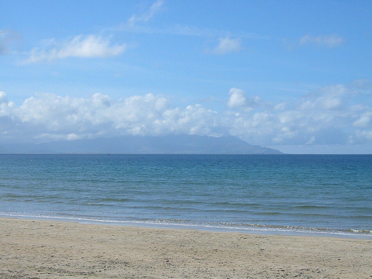
coast · 19.6 km
Dingle town is a harbour and streets visit that can anchor a peninsula stay. It is not a shorthand for driving every part of the Dingle Peninsula in one stop.
Open place page →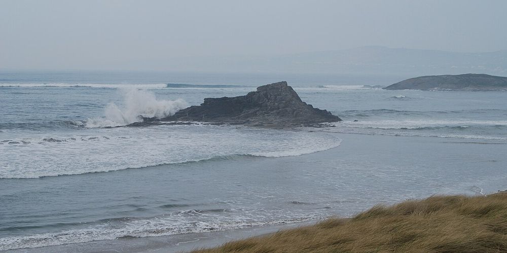
coast · 24.8 km
Banna gives north Kerry a long, open Atlantic edge within reach of Tralee. The most satisfying visit is often simple: a shoreline walk, a look back at the dunes and no attempt to turn the whole afternoon into…
Open place page →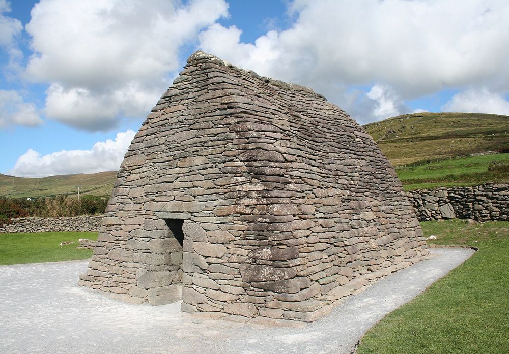
heritage · 25.3 km
Gallarus asks you to look closely. The little stone building has none of a cathedral’s theatrical scale; its appeal is the precision of the walls curving into a roof. Step back to see the shape, then let your…
Open place page →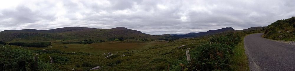
nature · 27.7 km
The Gap of Dunloe is most convincing at walking pace. Lakes keep appearing between the mountains, and small bridges make the changing scale easier to notice than from behind a windscreen. Decide how far you…
Open place page →Accessible visitor excerpts appreciate the long strand but include complaints about cars, congestion and litter near the entrance. Other accounts describe vehicles getting into difficulty on sand. Those reports support a shore-based visit with sensible parking, not copying every activity seen in holiday photographs.
Original paraphrases of public visitor accounts. These are limited perspectives, not a representative survey or a claim of our own visit. Use current operator information for access and opening.
Location & access
This guide recommends a shore walk, not swimming or driving onto sand. A beach that appears flat can still have changing tides and vehicle problems. Use the noticeboard and current flags for water decisions, and choose legal parking away from the tidal beach.
52.14380, -9.98200 · Reference point; confirm the correct entrance and access. Map © OpenStreetMap contributors.
Source-based place brief. A catalogue reference is not a live availability check or a report of a personal visit.
Visitor details checked 19 October 2026. Page content updated 2026-10-20.