Dunes behind the strand
Look at the dune system without trampling it. The apparent emptiness of a beach contains habitats that are easy to damage when visitors spread out indiscriminately.
coast · Kerry
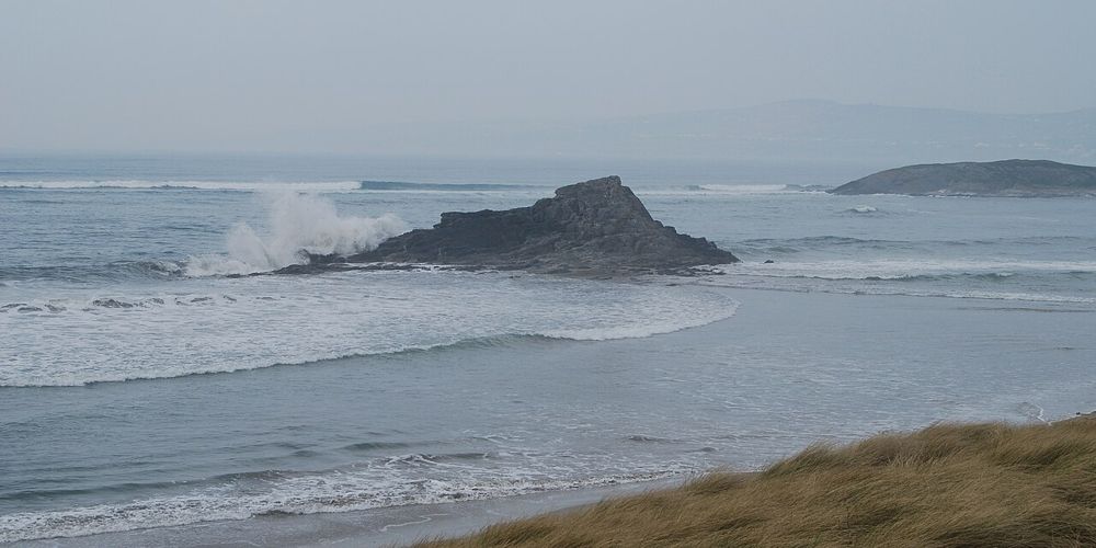
Banna gives north Kerry a long, open Atlantic edge within reach of Tralee. The most satisfying visit is often simple: a shoreline walk, a look back at the dunes and no attempt to turn the whole afternoon into a checklist. Pick the distance after seeing the wind and tide.
Source-based editorial assessment · out of 10
Choose it when you want space and a change from town or castle visits. It can carry an unhurried part of a day, but it is less reliable as a comfortable picnic stop when the Atlantic weather is unsettled. Bring the layer you think you may not need.
Read current beach notices and flags. Lifeguard cover is seasonal and should be verified locally; the suggested outing here does not require entering the water.
Best for: Dunes behind the strand
Planning blend: 8.0 / 10 · Sustainability: unrated
Experience considers the reward and depth of this particular stop. Visitor friendliness considers practical ease: arrival, booking, physical demands, cost and flexibility. These are editorial judgements based on linked information, not visitor averages or a claim of a personal visit.
Assessed . Supporting guide source-check date: 2026-10-19. The assessment date does not mean every linked source was newly checked.
The blend uses (40 × Experience + 55 × Visitor friendliness) ÷ 95, rounded to the nearest half point. Missing sustainability does not affect it. A missing current visit score is not zero and has no blend.
A high score is not a safety clearance or a guarantee of step-free access. Food-stop scores concern the planned visit, not an untested meal. Read the scale and scope · Suggest a correction.
From research
Choose it when you want space and a change from town or castle visits. It can carry an unhurried part of a day, but it is less reliable as a comfortable picnic stop when the Atlantic weather is unsettled. Bring the layer you think you may not need.
Know before you book: The dune landscape is protected habitat, not a shortcut network. This guide covers a beach walk. Swimming and surfing require current advice; a seasonal Blue Flag or a summer lifeguard reference does not establish conditions on the day.
Place highlights
Look at the dune system without trampling it. The apparent emptiness of a beach contains habitats that are easy to damage when visitors spread out indiscriminately.
Choose a turnaround point that leaves a comfortable return into the wind if necessary. The broad view is the attraction, so a shorter walk can be enough.
The story behind the visit
Banna is associated with Roger Casement’s return to Ireland before the 1916 Rising. That historical connection adds another layer to a place many visitors first approach simply for sand and sea; the wider story is worth reading before arrival. Source ↗
Dated visitor information
Follow current local signs to a designated Banna beach access north of Tralee near Ardfert. Several coastal place names appear on maps; check that your chosen access matches the facilities you need. Official visitor information ↗
Source information checked 19 October 2026; confirm current access and visitor arrangements with the operator.
No. Banna is a separate coastal outing near Ardfert; plan transport and the return independently. Source ↗
No. Choose a short out-and-back matched to weather, tide and your group, keeping to established beach access. Source ↗
Nearby options
Distances are straight-line estimates between catalogue pins, within 30 km. Roads, entrances and walking routes may be much longer. Known closed places are excluded; inclusion does not confirm opening today.
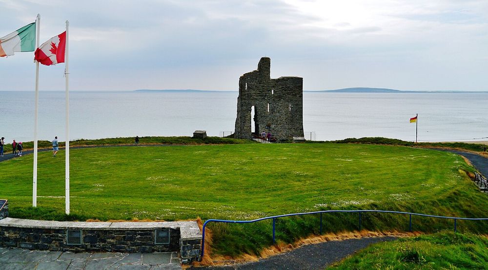
coast · 21.1 km
Ballybunion’s cliff path changes the scale of a seaside visit. From above, beaches, sea stacks and the remaining castle wall sit in one scene. Keep the walk on the signed route: the pleasure is seeing how the…
Open place page →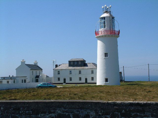
coast · 24.4 km
Loop Head feels like an end point: the lighthouse stands where the Shannon Estuary opens towards the Atlantic, with cliffs rather than a town around it. The appeal is the relationship between a working…
Open place page →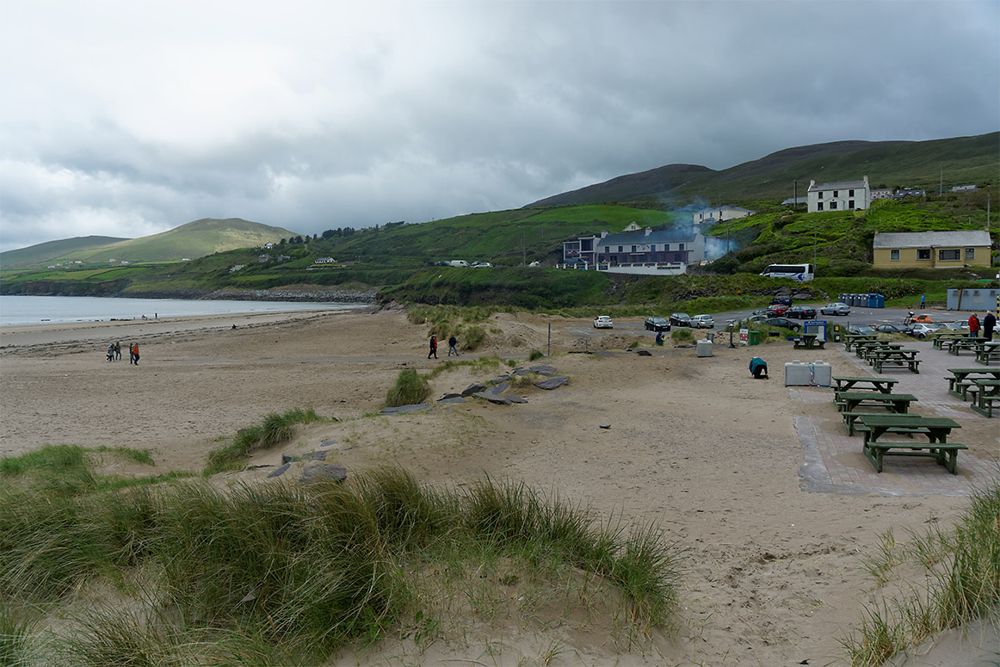
coast · 24.8 km
Inch is a beach for looking into distance. The long sand spit reaches into Dingle Bay, opening views across water that can make a hurried roadside stop feel oddly small. Walk only as far as suits the tide and…
Open place page →Public excerpts value the room to spread out at lower tide and the beach’s suitability for a long stroll. Some travel accounts note that amenities are not close to every part of the strand. These observations support bringing essentials and choosing an access point carefully; they do not certify swimming conditions.
Original paraphrases of public visitor accounts. These are limited perspectives, not a representative survey or a claim of our own visit. Use current operator information for access and opening.
Location & access
The dune landscape is protected habitat, not a shortcut network. This guide covers a beach walk. Swimming and surfing require current advice; a seasonal Blue Flag or a summer lifeguard reference does not establish conditions on the day.
52.34860, -9.83830 · Reference point; confirm the correct entrance and access. Map © OpenStreetMap contributors.
Source-based place brief. A catalogue reference is not a live availability check or a report of a personal visit.
Visitor details checked 19 October 2026. Page content updated 2026-10-20.