The castle remains
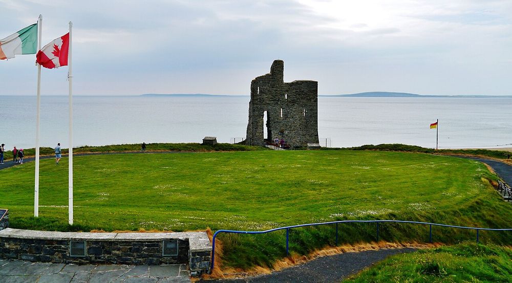
The surviving wall is a coastal landmark, not a furnished castle attraction. Look at it from the permitted route rather than expect an interior tour.
coast · Kerry
Ballybunion’s cliff path changes the scale of a seaside visit. From above, beaches, sea stacks and the remaining castle wall sit in one scene. Keep the walk on the signed route: the pleasure is seeing how the town meets the coast, not finding the nearest unprotected edge.
Source-based editorial assessment · out of 10
A worthwhile north-Kerry stop if you are already travelling through Ballybunion or combining it with Listowel. It offers a stronger sense of place than driving to the beach and leaving. In poor wind conditions, a shorter town-and-view visit may be the better choice.
Use the waymarked public route and obey closures or diversions. A published easy grade does not remove cliff-edge exposure or slippery conditions.
Best for: The castle remains
Planning blend: 7.5 / 10 · Sustainability: unrated
Experience considers the reward and depth of this particular stop. Visitor friendliness considers practical ease: arrival, booking, physical demands, cost and flexibility. These are editorial judgements based on linked information, not visitor averages or a claim of a personal visit.
Assessed . Supporting guide source-check date: 2026-10-19. The assessment date does not mean every linked source was newly checked.
The blend uses (40 × Experience + 55 × Visitor friendliness) ÷ 95, rounded to the nearest half point. Missing sustainability does not affect it. A missing current visit score is not zero and has no blend.
A high score is not a safety clearance or a guarantee of step-free access. Food-stop scores concern the planned visit, not an untested meal. Read the scale and scope · Suggest a correction.
From research
A worthwhile north-Kerry stop if you are already travelling through Ballybunion or combining it with Listowel. It offers a stronger sense of place than driving to the beach and leaving. In poor wind conditions, a shorter town-and-view visit may be the better choice.
Know before you book: Discover Ireland describes the signed loop as about one kilometre, with paths and roadway. Local notices take priority over that general listing. Do not extend the walk into caves, informal cliff scrambles or a route down to an inaccessible cove because a photograph looks inviting.
Place highlights
The surviving wall is a coastal landmark, not a furnished castle attraction. Look at it from the permitted route rather than expect an interior tour.
The changing angle reveals cliffs and rock forms hidden from a car. Pause where the path allows others to pass and give any fragile edge a generous margin.
The story behind the visit
Ballybunion’s seaside character depends on the meeting of town, strand and cliff. The castle fragment gives the view an older layer, while the walking route lets you understand why beaches here feel so enclosed compared with Banna’s open sand. Source ↗
Dated visitor information
Arrive in Ballybunion and locate the signed cliff-path access north of the beach. Use a legal town or visitor parking space; the castle-view pin is not permission to drive onto the headland. Official visitor information ↗
Source information checked 19 October 2026; confirm current access and visitor arrangements with the operator.
This stop concerns the surviving exterior remains and coastal view, not a staffed interior castle tour. Source ↗
No. Bromore is a separate attraction outside Ballybunion. Check the name and entrance before following navigation. Source ↗
Nearby options
Distances are straight-line estimates between catalogue pins, within 30 km. Roads, entrances and walking routes may be much longer. Known closed places are excluded; inclusion does not confirm opening today.
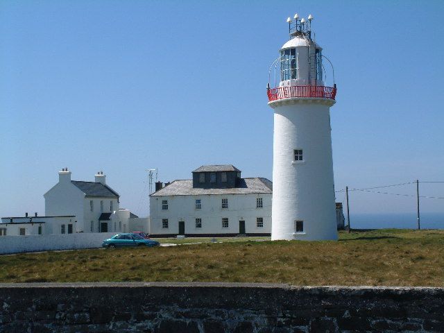
coast · 18.1 km
Loop Head feels like an end point: the lighthouse stands where the Shannon Estuary opens towards the Atlantic, with cliffs rather than a town around it. The appeal is the relationship between a working…
Open place page →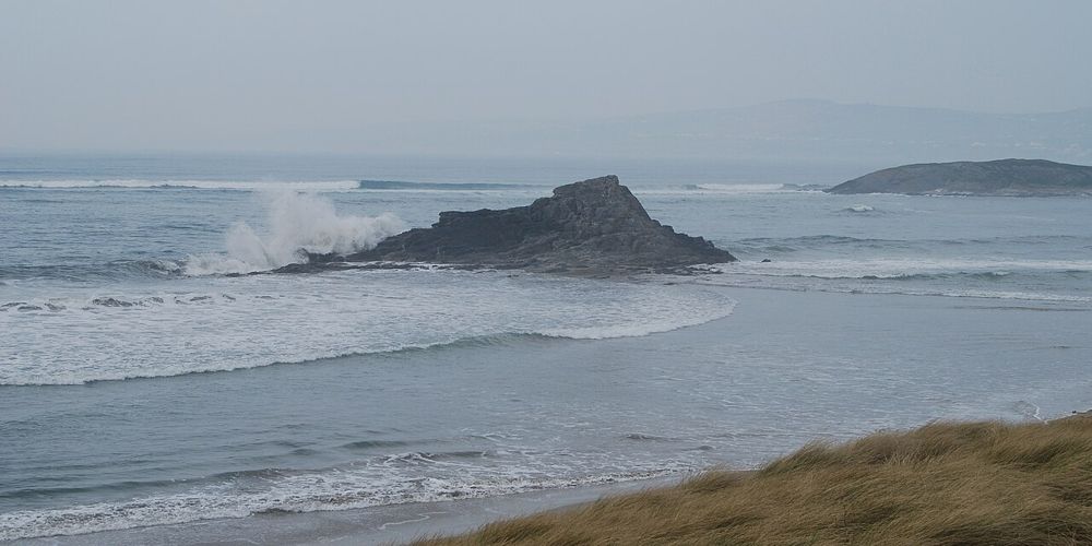
coast · 21.1 km
Banna gives north Kerry a long, open Atlantic edge within reach of Tralee. The most satisfying visit is often simple: a shoreline walk, a look back at the dunes and no attempt to turn the whole afternoon into…
Open place page →Available public accounts recommend the combination of cliff walk and castle remains as a worthwhile pause in town. They describe coastal atmosphere rather than a large formal attraction. The evidence is a limited selection of excerpts; it does not establish that the full route is open or comfortable in current weather.
Original paraphrases of public visitor accounts. These are limited perspectives, not a representative survey or a claim of our own visit. Use current operator information for access and opening.
Location & access
Discover Ireland describes the signed loop as about one kilometre, with paths and roadway. Local notices take priority over that general listing. Do not extend the walk into caves, informal cliff scrambles or a route down to an inaccessible cove because a photograph looks inviting.
52.51100, -9.67660 · Reference point; confirm the correct entrance and access. Map © OpenStreetMap contributors.
Source-based place brief. A catalogue reference is not a live availability check or a report of a personal visit.
Visitor details checked 19 October 2026. Page content updated 2026-10-20.