Lakes and bridges
The water and narrow crossings give the journey its rhythm. Stop where others can pass and look back as well as ahead; the return offers a different arrangement of the same mountains.
nature · Kerry
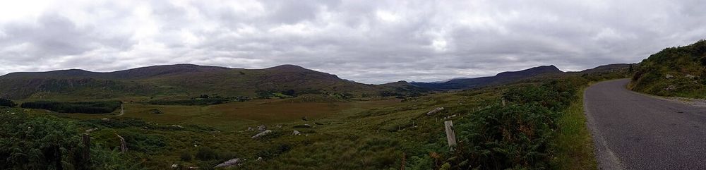
The Gap of Dunloe is most convincing at walking pace. Lakes keep appearing between the mountains, and small bridges make the changing scale easier to notice than from behind a windscreen. Decide how far you want to go before starting: the first satisfying view does not require completing the whole pass.
Source-based editorial assessment · out of 10
Give it a proper walking outing, or choose a clearly described transport package that suits your group. It rewards time more than a hurried drive-through. Travellers who need a gentle, traffic-free promenade should recognise that this is a sloping road shared with other users.
Confirm the exact start, finish and return before buying a combined boat or jaunting-car product. Ask about steps, transfers and any walking still required.
Best for: Lakes and bridges
Planning blend: 7.5 / 10 · Sustainability: unrated
Experience considers the reward and depth of this particular stop. Visitor friendliness considers practical ease: arrival, booking, physical demands, cost and flexibility. These are editorial judgements based on linked information, not visitor averages or a claim of a personal visit.
Assessed . Supporting guide source-check date: 2026-10-19. The assessment date does not mean every linked source was newly checked.
The blend uses (40 × Experience + 55 × Visitor friendliness) ÷ 95, rounded to the nearest half point. Missing sustainability does not affect it. A missing current visit score is not zero and has no blend.
A high score is not a safety clearance or a guarantee of step-free access. Food-stop scores concern the planned visit, not an untested meal. Read the scale and scope · Suggest a correction.
From research
Give it a proper walking outing, or choose a clearly described transport package that suits your group. It rewards time more than a hurried drive-through. Travellers who need a gentle, traffic-free promenade should recognise that this is a sloping road shared with other users.
Know before you book: The Gap is a mountain pass between the MacGillycuddy’s Reeks and Purple Mountain. Walking, cycling, jaunting-car trips and boat combinations are different experiences with different demands. A boat itinerary is a coordinated full outing, not a ferry you should assume will be waiting whenever you finish.
Place highlights
The water and narrow crossings give the journey its rhythm. Stop where others can pass and look back as well as ahead; the return offers a different arrangement of the same mountains.
A shorter walk from the northern approach is a valid visit. Pick a turnaround time that leaves a comfortable return rather than letting the next bend decide the whole day.
The story behind the visit
The valley’s glacial form explains the confined road, water and steep flanks. It also explains why the Gap is not simply another scenic road with room for every mode of transport at once. Its enduring attraction is the close relationship between mountain walls and the route through them. Source ↗
Dated visitor information
The usual northern visitor approach is beside Kate Kearney’s Cottage near Beaufort. Use current signed parking and return to the agreed pickup or your parked vehicle; the centre-of-pass pin is not a parking instruction. Official visitor information ↗
Source information checked 19 October 2026; confirm current access and visitor arrangements with the operator.
No. You can choose an out-and-back from the northern approach, turning when your time and energy allow. Keep the return part of the plan. Source ↗
Operators sell coordinated combinations with different directions and transfers. Book and confirm the details; do not improvise a one-way walk expecting an unreserved boat at the end. Source ↗
Nearby options
Distances are straight-line estimates between catalogue pins, within 30 km. Roads, entrances and walking routes may be much longer. Known closed places are excluded; inclusion does not confirm opening today.
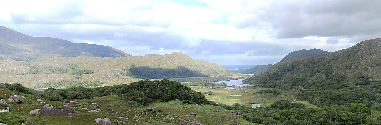
attraction · 6.5 km
Choose this viewpoint for the broader relationship between water, wooded slopes and mountains. It is a scenic pause on a driving day, not a substitute for walking inside the park.
Open place page →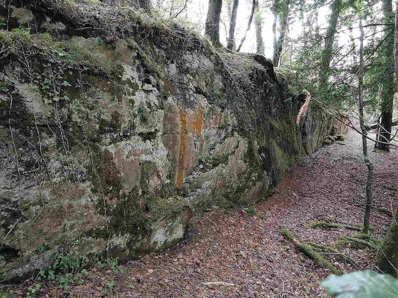
attraction · 7.1 km
Choose this when you want the Ross visit to become an outdoor outing rather than a short castle stop. The signed Mining Trail adds woodland, shoreline and an industrial-history question to the lake scenery.
Open place page →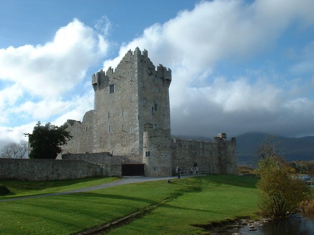
attraction · 7.1 km
Come for the relationship between a compact fortified building and its lakeside setting. The guided interior and a walk outside are different experiences; decide which one matters to you before planning the…
Open place page →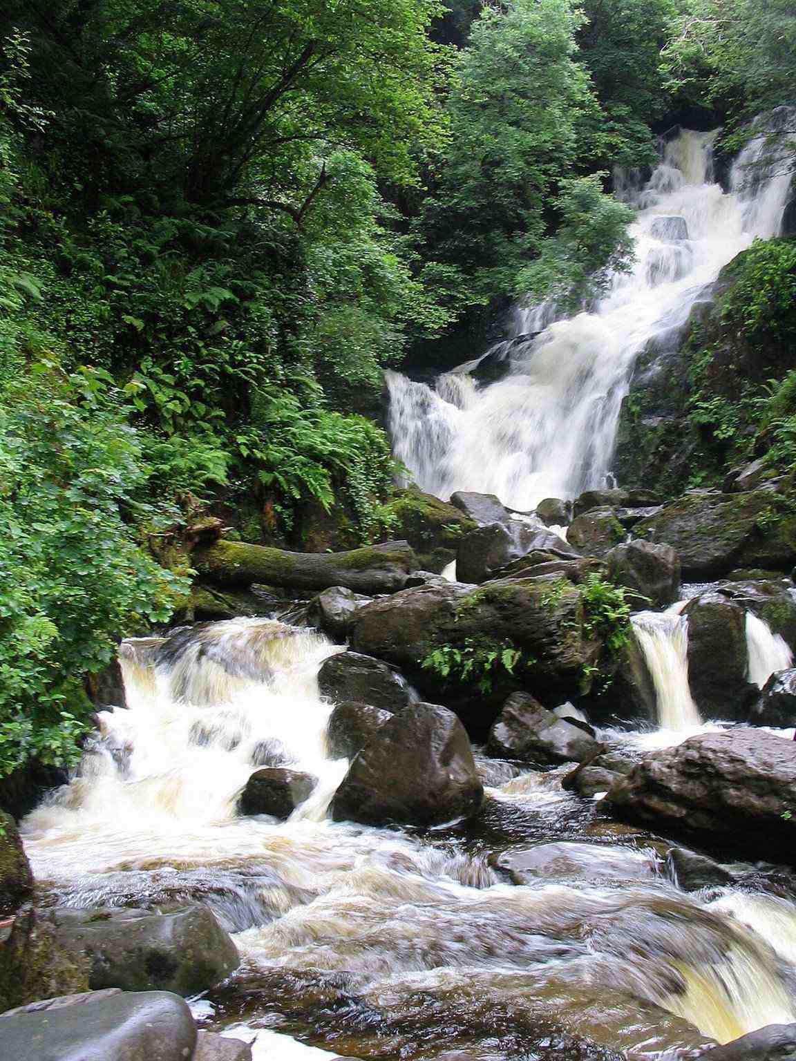
attraction · 8.6 km
Choose Torc for falling water and woodland atmosphere, with the option to keep the outing modest. A waterfall stop, a longer woodland circuit and a Torc Mountain summit walk are three different decisions.
Open place page →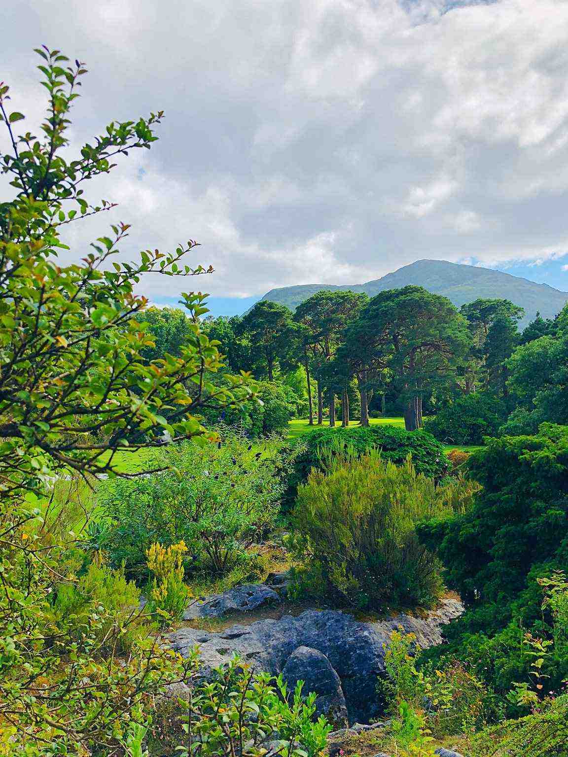
attraction · 8.7 km
Take the gardens as a visit of their own, especially if you prefer plants, paths and time outside to another interior. Let the house provide context without making a paid house ticket the purpose of the whole…
Open place page →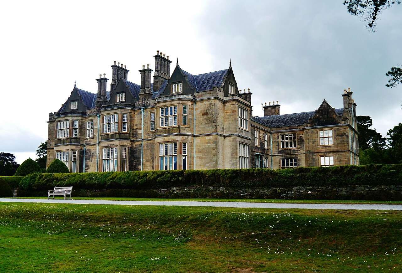
attraction · 8.8 km
Visit the house if you want a closer look at the domestic world behind the estate landscape. Choose it deliberately: the interior is a ticketed visit, while the gardens are a separate outdoor experience.
Open place page →Accessible walkers enjoy the changing views but describe the road feeling busier once jaunting cars and other traffic build up. One preferred the quieter outward section of an early walk. This is a limited set of accounts, not an assurance of empty roads at any hour or a judgment about every transport operator.
Original paraphrases of public visitor accounts. These are limited perspectives, not a representative survey or a claim of our own visit. Use current operator information for access and opening.
Location & access
The Gap is a mountain pass between the MacGillycuddy’s Reeks and Purple Mountain. Walking, cycling, jaunting-car trips and boat combinations are different experiences with different demands. A boat itinerary is a coordinated full outing, not a ferry you should assume will be waiting whenever you finish.
52.02010, -9.63040 · Reference point; confirm the correct entrance and access. Map © OpenStreetMap contributors.
Source-based place brief. A catalogue reference is not a live availability check or a report of a personal visit.
Visitor details checked 19 October 2026. Page content updated 2026-10-20.