The waterfall
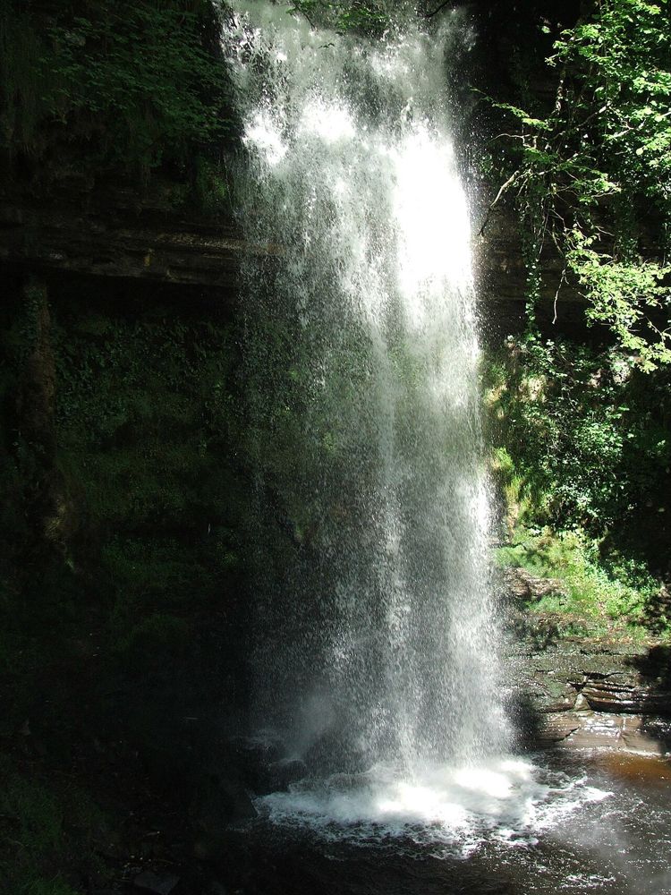
Watch how the water moves against the rock from the established viewing area. Keep to the paths, particularly when spray makes surfaces wet.
nature · Leitrim
Glencar is an accessible introduction to north Leitrim’s dramatic landscape, without committing to a mountain day. The waterfall sits in a wooded fold above the lake, so even the approach has a different mood from the open valley. Give the lake a look as well; it stops the visit becoming only a queue for one photograph.
Source-based editorial assessment · out of 10
A good short nature stop in the Glencar area. The appeal is the wooded setting and wider valley as much as the size of the fall.
Check the approach against your mobility needs. Public accounts distinguish the initial incline from the steps nearer the fall; not every viewpoint has the same access.
Best for: A short uphill approach with steps on the closer waterfall section, rather than a flat path to every viewpoint.
Planning blend: 7.5 / 10 · Sustainability: unrated
Experience considers the reward and depth of this particular stop. Visitor friendliness considers practical ease: arrival, booking, physical demands, cost and flexibility. These are editorial judgements based on linked information, not visitor averages or a claim of a personal visit.
Assessed . Supporting guide source-check date: 2026-10-19. The assessment date does not mean every linked source was newly checked.
The blend uses (40 × Experience + 55 × Visitor friendliness) ÷ 95, rounded to the nearest half point. Missing sustainability does not affect it. A missing current visit score is not zero and has no blend.
A high score is not a safety clearance or a guarantee of step-free access. Food-stop scores concern the planned visit, not an untested meal. Read the scale and scope · Suggest a correction.
From research
A good short nature stop in the Glencar area. The appeal is the wooded setting and wider valley as much as the size of the fall.
Know before you book: A short uphill approach with steps on the closer waterfall section, rather than a flat path to every viewpoint.
Place highlights
Watch how the water moves against the rock from the established viewing area. Keep to the paths, particularly when spray makes surfaces wet.
The nearby lake gives the fall a broader setting. Look across the valley before leaving rather than treating the car park as the whole landscape.
The story behind the visit
The waterfall is associated with W. B. Yeats’s writing, but the physical setting stands on its own: water, woodland and the steep-sided valley combine in a compact area. Literary context adds a layer without needing to turn the visit into a poetry lesson. Source ↗
Dated visitor information
Follow signs for Glencar Waterfall beside Glencar Lake west of Manorhamilton. It is in County Leitrim near the Sligo boundary, not near Carrick-on-Shannon despite some listing labels. Official visitor information ↗
Source information checked 19 October 2026; confirm current access and visitor arrangements with the operator.
No. The closer waterfall route includes steps; assess the actual approach before committing. Source ↗
The waterfall visit is a short stop, separate from any longer valley or mountain walk you choose. Source ↗
Nearby options
Distances are straight-line estimates between catalogue pins, within 30 km. Roads, entrances and walking routes may be much longer. Known closed places are excluded; inclusion does not confirm opening today.
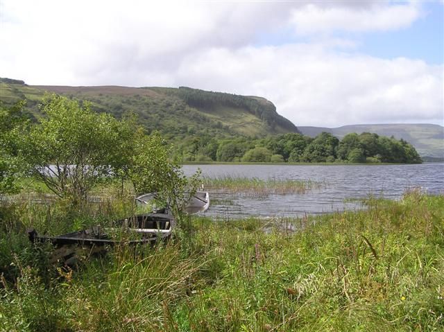
nature · 7.3 km
Glenade Lough sits between steep valley sides, giving a short stop a surprisingly enclosed, almost amphitheatre-like feel. The lake is quiet to look at, but access around it needs care: a beautiful shoreline…
Open place page →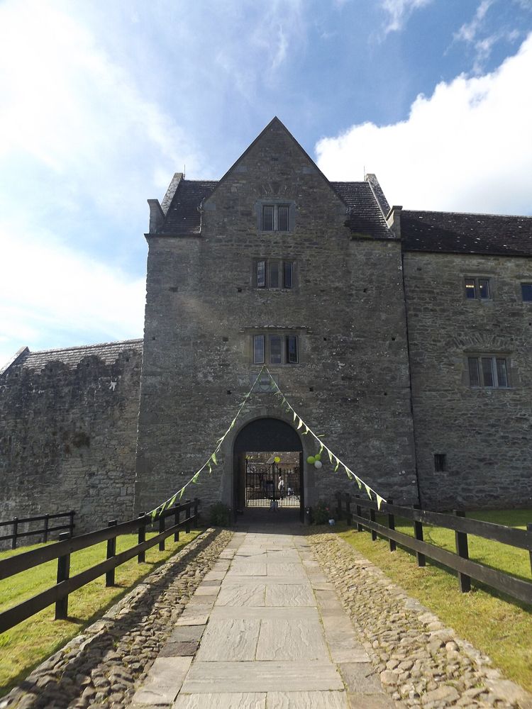
heritage · 8.8 km
Parke’s Castle is best understood with Lough Gill beside it. The water gives the restored courtyard house its setting, while the building tells a more complicated story than a simple medieval fortress. Inside,…
Open place page →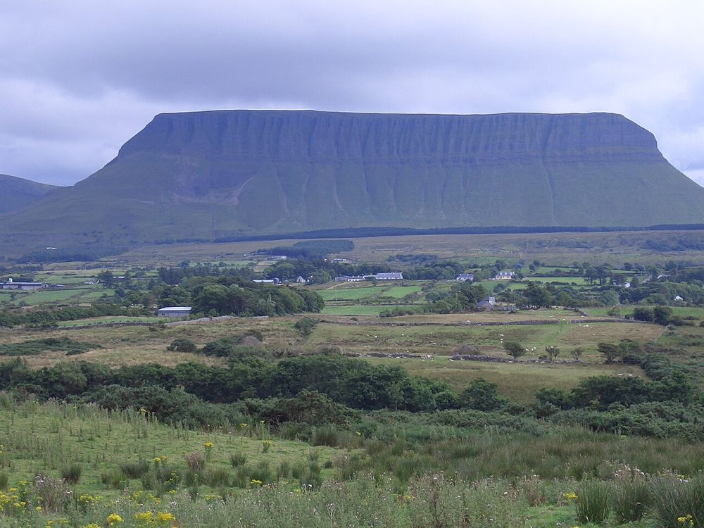
nature · 8.8 km
Benbulben Forest Walk gives you the mountain’s shape without turning the visit into a summit climb. Woodland and open sections frame the flat-topped limestone skyline, while wider views reach towards the coast…
Open place page →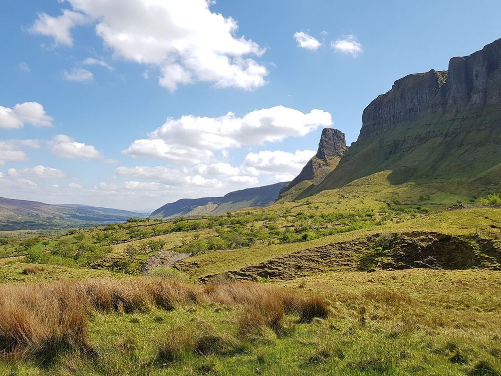
nature · 8.9 km
The rock formations above Glenade give north Leitrim an unexpectedly theatrical skyline. Eagle’s Rock and neighbouring Hag’s Leap are better approached first as a landscape to look at from an authorised…
Open place page →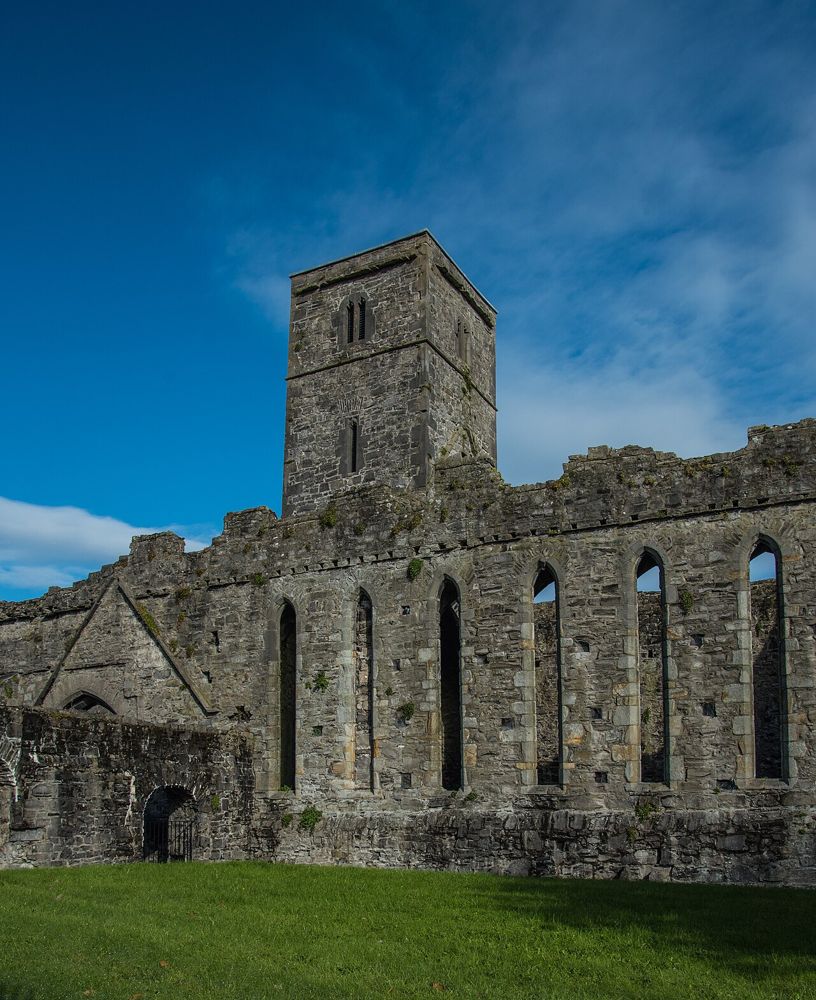
heritage · 10.1 km
Sligo Abbey is a good place to change the scale of a town visit. Leave the traffic outside and spend time on carved stone, the cloister arcade and the surviving altar. The site is not large, but it offers…
Open place page →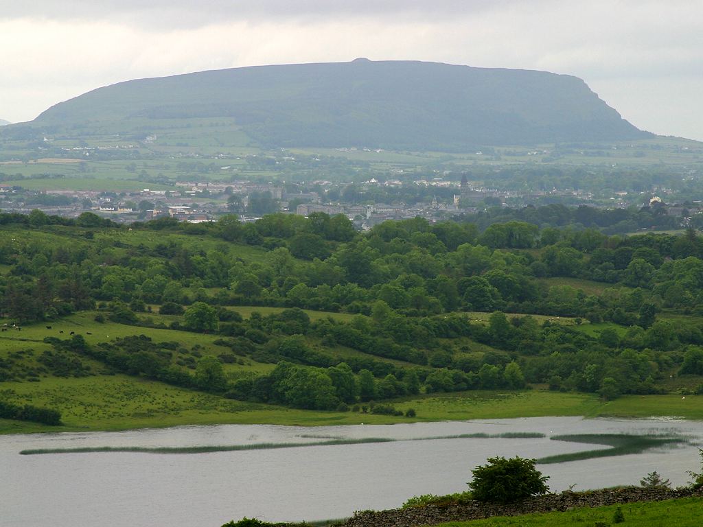
city · 10.3 km
Sligo town is a practical urban anchor for the northwest, with a river-centred walk and cultural stops that can be chosen independently of a wider county circuit.
Open place page →Accessible visitor accounts value convenient parking and the lake setting but mention the incline and steps. Some find the waterfall modest in scale. That makes it a well-placed local stop rather than a reason to promise a spectacular all-day attraction.
Original paraphrases of public visitor accounts. These are limited perspectives, not a representative survey or a claim of our own visit. Use current operator information for access and opening.
Location & access
A short uphill approach with steps on the closer waterfall section, rather than a flat path to every viewpoint.
54.34000, -8.37000 · Reference point; confirm the correct entrance and access. Map © OpenStreetMap contributors.
Source-based place brief. A catalogue reference is not a live availability check or a report of a personal visit.
Visitor details checked 19 October 2026. Page content updated 2026-10-20.