The rock skyline
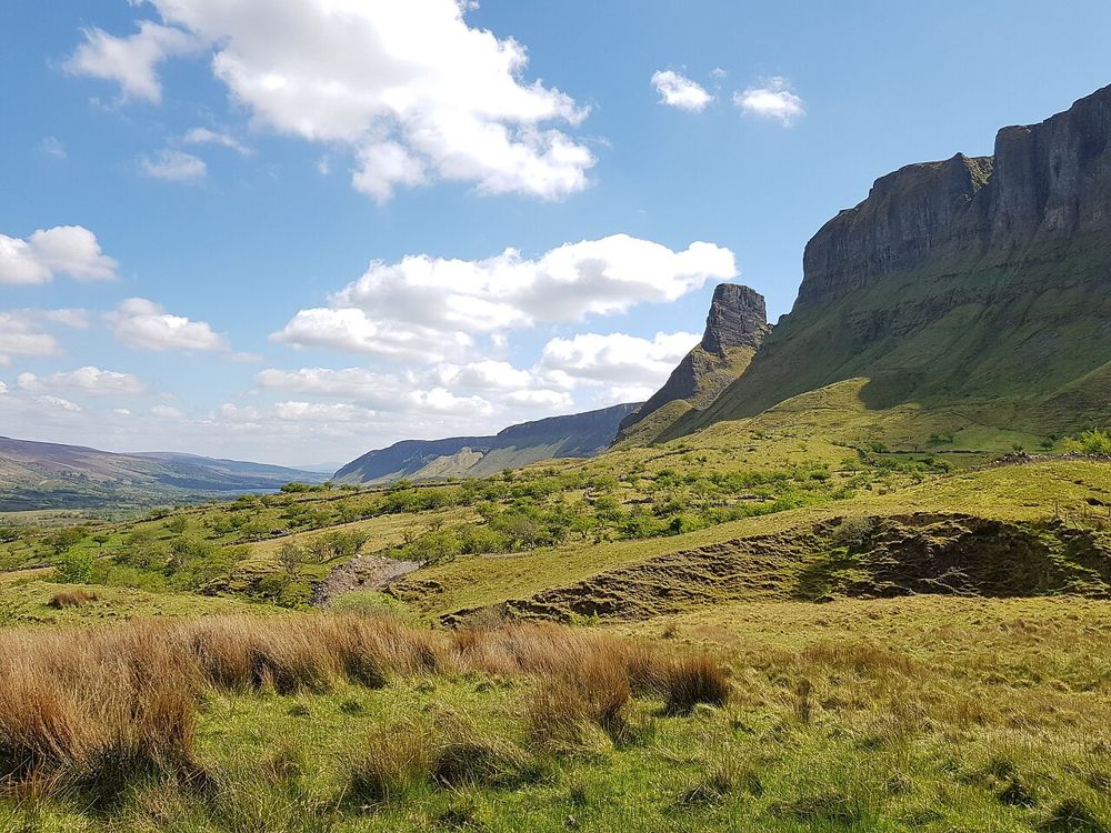
Look at the separation between individual formations and the main escarpment. A wider view often explains the geology better than a close photograph.
nature · Leitrim
The rock formations above Glenade give north Leitrim an unexpectedly theatrical skyline. Eagle’s Rock and neighbouring Hag’s Leap are better approached first as a landscape to look at from an authorised viewpoint than as something to climb. Their scale is clearest when the surrounding cliffs remain in the picture.
Source-based editorial assessment · out of 10
Worth including in a Glenade and Glencar landscape day when visibility is good. Do not turn a scenic stop into an unplanned scramble on private or unstable ground.
Use a confirmed public viewpoint or locally authorised route. A tourist photograph does not establish permission to cross a field or climb the formation.
Best for: A dramatic rock-and-cliff landscape with a viewpoint-style visit; this page does not prescribe a summit or climbing route.
Planning blend: 7.0 / 10 · Sustainability: unrated
Experience considers the reward and depth of this particular stop. Visitor friendliness considers practical ease: arrival, booking, physical demands, cost and flexibility. These are editorial judgements based on linked information, not visitor averages or a claim of a personal visit.
Assessed . Supporting guide source-check date: 2026-10-19. The assessment date does not mean every linked source was newly checked.
The blend uses (40 × Experience + 55 × Visitor friendliness) ÷ 95, rounded to the nearest half point. Missing sustainability does not affect it. A missing current visit score is not zero and has no blend.
A high score is not a safety clearance or a guarantee of step-free access. Food-stop scores concern the planned visit, not an untested meal. Read the scale and scope · Suggest a correction.
From research
Worth including in a Glenade and Glencar landscape day when visibility is good. Do not turn a scenic stop into an unplanned scramble on private or unstable ground.
Know before you book: A dramatic rock-and-cliff landscape with a viewpoint-style visit; this page does not prescribe a summit or climbing route.
Place highlights
Look at the separation between individual formations and the main escarpment. A wider view often explains the geology better than a close photograph.
The valley provides the scale that makes the rocks striking. Keep to permitted public viewpoints and avoid blocking the narrow approach roads.
The story behind the visit
The cliffs belong to the Dartry mountain landscape. Local naming distinguishes adjoining formations, including Hag’s Leap, so the scenery should not be reduced to an unsupported claim about one summit or height. Source ↗
Dated visitor information
Approach the Glenade area using current Leitrim Tourism directions and local signs. The broad pin identifies the formation, not a parking space or authorised ascent. Official visitor information ↗
Source information checked 19 October 2026; confirm current access and visitor arrangements with the operator.
No. The recommended visit is a permitted landscape viewpoint, not a climb. Source ↗
Do not assume so. Confirm local access and obey signs and landowner restrictions. Source ↗
Nearby options
Distances are straight-line estimates between catalogue pins, within 30 km. Roads, entrances and walking routes may be much longer. Known closed places are excluded; inclusion does not confirm opening today.
nature · 2.8 km
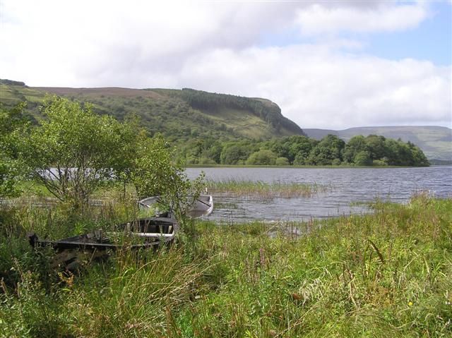
Glenade Lough sits between steep valley sides, giving a short stop a surprisingly enclosed, almost amphitheatre-like feel. The lake is quiet to look at, but access around it needs care: a beautiful shoreline…
Open place page →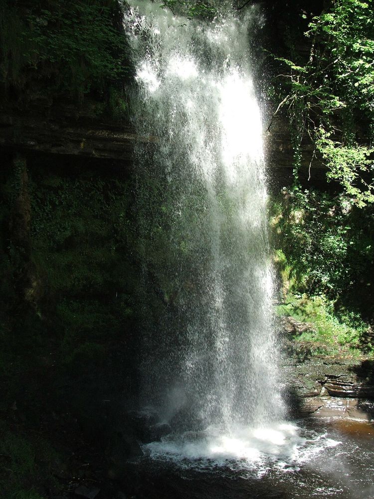
nature · 8.9 km
Glencar is an accessible introduction to north Leitrim’s dramatic landscape, without committing to a mountain day. The waterfall sits in a wooded fold above the lake, so even the approach has a different mood…
Open place page →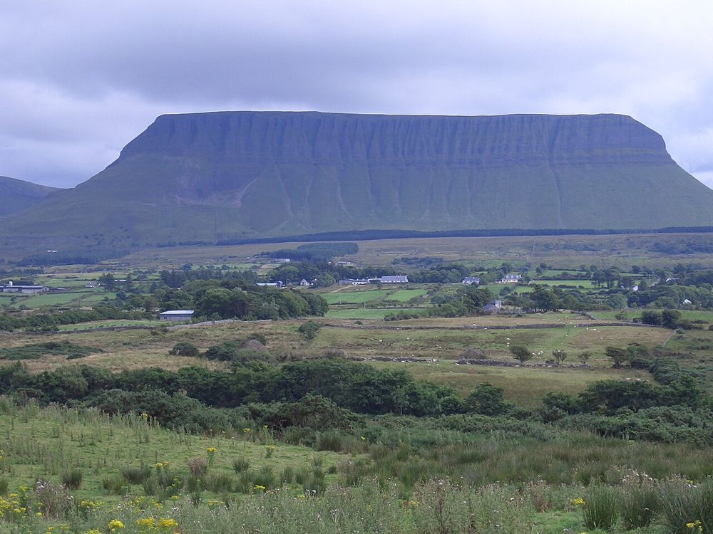
nature · 12.8 km
Benbulben Forest Walk gives you the mountain’s shape without turning the visit into a summit climb. Woodland and open sections frame the flat-topped limestone skyline, while wider views reach towards the coast…
Open place page →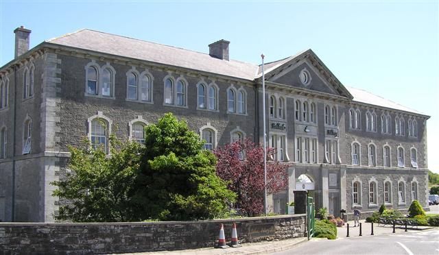
attraction · 16.3 km
Belleek is most interesting when you see the work behind the delicate finished pieces. A pottery tour can turn an ornamental object in a shop into a sequence of skilled tasks and decisions.
Open place page →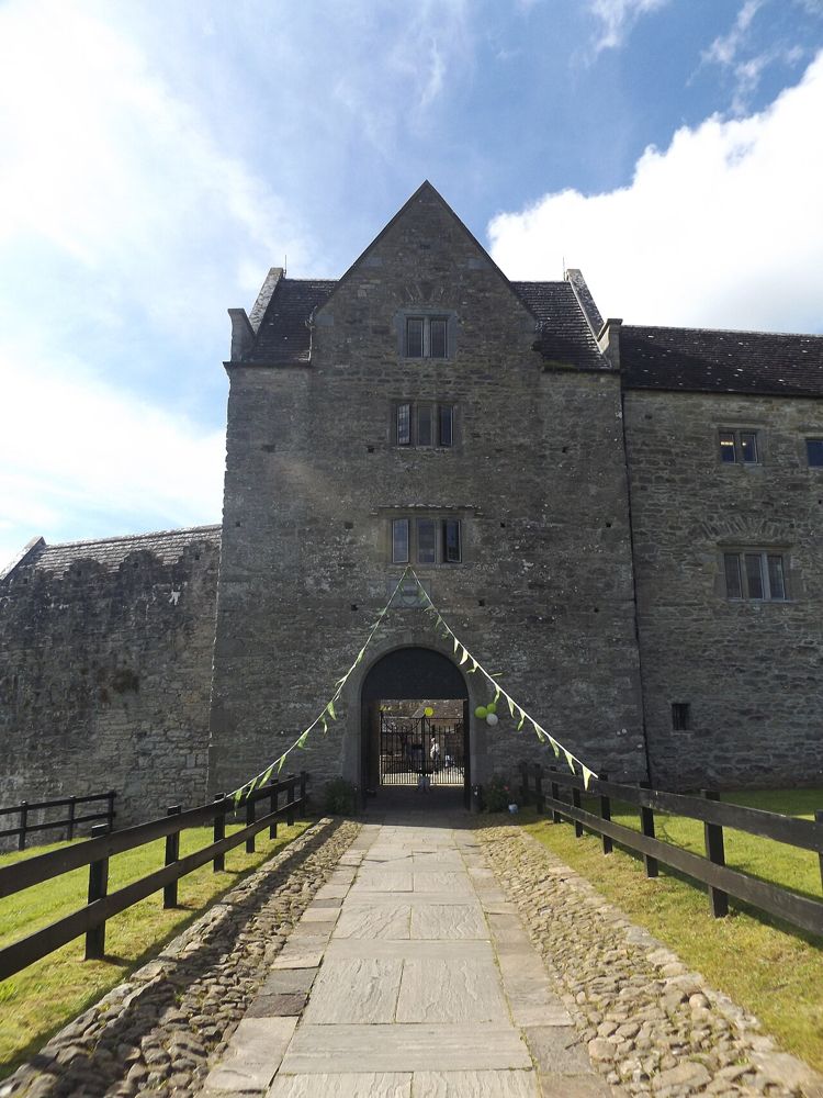
heritage · 16.6 km
Parke’s Castle is best understood with Lough Gill beside it. The water gives the restored courtyard house its setting, while the building tells a more complicated story than a simple medieval fortress. Inside,…
Open place page →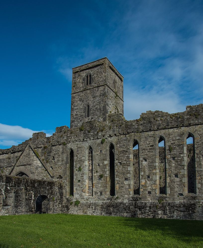
heritage · 18.8 km
Sligo Abbey is a good place to change the scale of a town visit. Leave the traffic outside and spend time on carved stone, the cloister arcade and the surviving altar. The site is not large, but it offers…
Open place page →One accessible visitor account combined the rocks with Glencar Waterfall and Glenade Lough. That supports a landscape-based grouping, but the small sample does not establish permission or conditions for an ascent.
Original paraphrases of public visitor accounts. These are limited perspectives, not a representative survey or a claim of our own visit. Use current operator information for access and opening.
Location & access
A dramatic rock-and-cliff landscape with a viewpoint-style visit; this page does not prescribe a summit or climbing route.
54.41300, -8.31400 · Reference point; confirm the correct entrance and access. Map © OpenStreetMap contributors.
Source-based place brief. A catalogue reference is not a live availability check or a report of a personal visit.
Visitor details checked 19 October 2026. Page content updated 2026-10-20.