Mountain backdrop
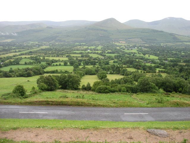
The Galtee skyline makes the lower valley distinctive. Clear views are weather-dependent, so build flexibility into the day rather than promising a panorama.
nature · Tipperary
The Glen of Aherlow is a landscape to spend time in, not a single attraction with one entrance. The Galtees provide the dramatic backdrop, while lower woodland routes allow a gentler day beneath them. Decide whether you want a viewpoint, a forest walk or a mountain outing; they are not three names for the same experience.
Source-based editorial assessment · out of 10
The Galtee skyline makes the lower valley distinctive. Clear views are weather-dependent, so build flexibility into the day rather than promising a panorama.
A Galtee ascent requires separate preparation for weather, navigation and terrain. This general glen guide is not a summit route description.
Best for: Choose it for a walking break between Tipperary’s towns and monuments.
Planning blend: 7.5 / 10 · Sustainability: unrated
Experience considers the reward and depth of this particular stop. Visitor friendliness considers practical ease: arrival, booking, physical demands, cost and flexibility. These are editorial judgements based on linked information, not visitor averages or a claim of a personal visit.
Assessed . Supporting guide source-check date: 2026-10-19. The assessment date does not mean every linked source was newly checked.
The blend uses (40 × Experience + 55 × Visitor friendliness) ÷ 95, rounded to the nearest half point. Missing sustainability does not affect it. A missing current visit score is not zero and has no blend.
A high score is not a safety clearance or a guarantee of step-free access. Food-stop scores concern the planned visit, not an untested meal. Read the scale and scope · Suggest a correction.
From research
Choose it for a walking break between Tipperary’s towns and monuments. A lower marked loop can be a satisfying day without aiming for a summit. Keep the plan modest if conditions are poor: an open view from a safe stopping place may be more useful than a cloudbound hike.
Know before you book: The local walking organisation identifies trailheads at Christ the King and Lisvarrinane, with route maps available locally. Each route needs its own distance, grade and conditions check. The broad map pin here is orientation, not the start of every walk in the glen.
Place highlights
The Galtee skyline makes the lower valley distinctive. Clear views are weather-dependent, so build flexibility into the day rather than promising a panorama.
Choose a published loop matched to your ability. A wooded route can be enjoyable for shelter and atmosphere without delivering continuous open mountain views.
The story behind the visit
The glen’s walking network links woodland, settlements and older routes through a lived-in landscape. It is not wilderness detached from farms and villages, which is why respecting route signs and private land is important. Source ↗
Dated visitor information
Pick a named trailhead before navigating. Christ the King and Lisvarrinane serve different published routes, so do not drive to the centre of the valley expecting a single visitor entrance. Official visitor information ↗
Source information checked 19 October 2026; confirm current access and visitor arrangements with the operator.
No. It orients you to the wider glen; select a named published route and trailhead. Source ↗
No. Tree cover and weather can limit views, which is why the route choice matters. Source ↗
Nearby options
Distances are straight-line estimates between catalogue pins, within 30 km. Roads, entrances and walking routes may be much longer. Known closed places are excluded; inclusion does not confirm opening today.
nature · 12.3 km
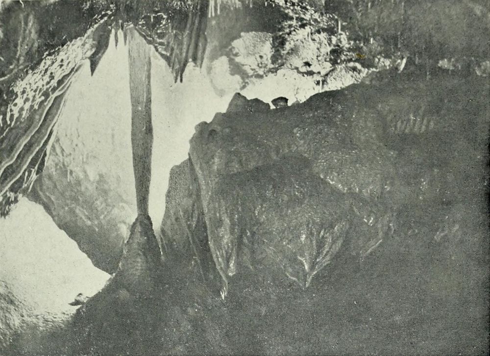
Mitchelstown Cave is a deliberate change of scene from the roads above: a descent into limestone chambers with a guide controlling the pace and explanation. The formations are the attraction, but the entrance…
Open place page →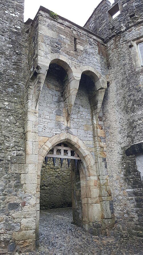
heritage · 17.2 km
Cahir gives you the physical logic of a fortress: a rocky river island, tight passages and walls that still make defensive sense. It is a strong choice if the word castle makes you imagine an actual stronghold…
Open place page →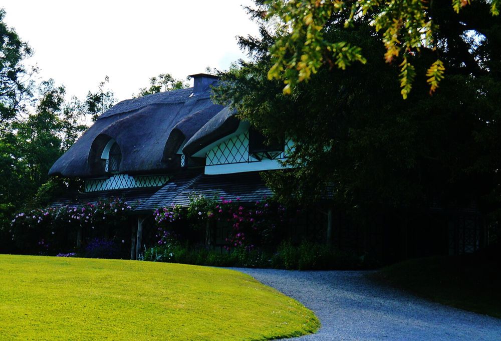
heritage · 17.7 km
The Swiss Cottage is deliberately fanciful: a thatched retreat designed to make country life look effortless. That contrast is the interesting part. It was a leisure building for an elite household, not an…
Open place page →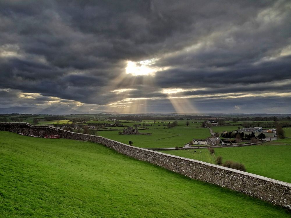
heritage · 21.7 km
Hore Abbey is the quieter counterpart to the Rock of Cashel, standing below it in an agricultural landscape. The relationship between the two is a large part of the appeal. From within the ruined church, the…
Open place page →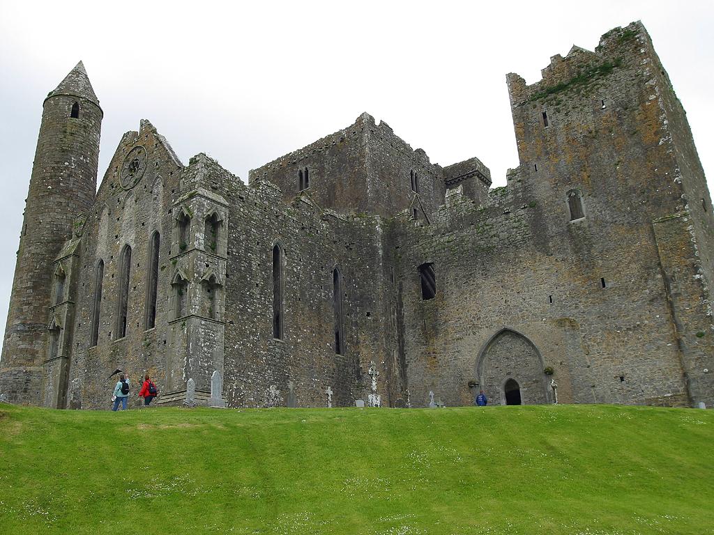
heritage · 22.4 km
The Rock of Cashel combines a dramatic limestone setting with a concentrated group of medieval buildings. It rewards attention to the structures as well as the familiar skyline.
Open place page →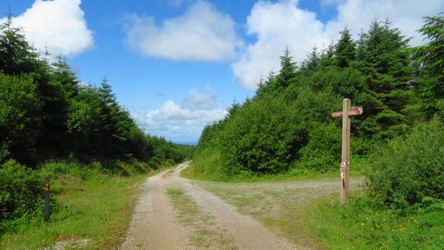
nature · 24.6 km
Ballyhoura is a place to choose an activity deliberately: forest walking and mountain biking use a landscape that is much larger than a single viewpoint. The right trail matters more than collecting a summit…
Open place page →Visible visitor accounts praise the Galtee views and choice of walks, but one found a woodland loop offered fewer valley views than expected. That is a useful trade-off when selecting a route rather than assuming all marked trails are panoramic.
Original paraphrases of public visitor accounts. These are limited perspectives, not a representative survey or a claim of our own visit. Use current operator information for access and opening.
Location & access
The local walking organisation identifies trailheads at Christ the King and Lisvarrinane, with route maps available locally. Each route needs its own distance, grade and conditions check. The broad map pin here is orientation, not the start of every walk in the glen.
52.41450, -8.17150 · Reference point; confirm the correct entrance and access. Map © OpenStreetMap contributors.
Source-based place brief. A catalogue reference is not a live availability check or a report of a personal visit.
Visitor details checked 19 October 2026. Page content updated 2026-10-20.