Church and crossing tower
The surviving walls let you read the church plan without a roof hiding its relationship to the landscape. Look at the form of the crossing and openings rather than searching for furnished rooms.
heritage · Tipperary
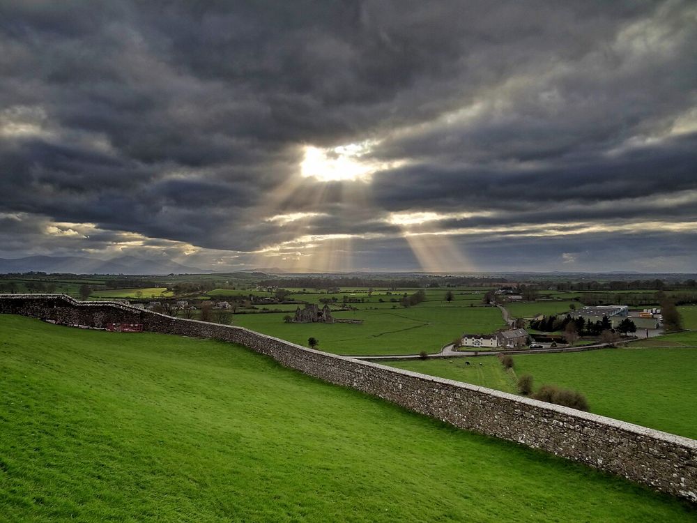
Hore Abbey is the quieter counterpart to the Rock of Cashel, standing below it in an agricultural landscape. The relationship between the two is a large part of the appeal. From within the ruined church, the Rock becomes a presence on the skyline rather than the place you are hurrying towards.
Source-based editorial assessment · out of 10
The surviving walls let you read the church plan without a roof hiding its relationship to the landscape. Look at the form of the crossing and openings rather than searching for furnished rooms.
Wear shoes suited to mud and uneven ground. If livestock, weather or barriers make the approach unsuitable, keep the visit to lawful public views.
Best for: Add it after the Rock if you have time, appropriate footwear and a suitable access route.
Planning blend: 7.0 / 10 · Sustainability: unrated
Experience considers the reward and depth of this particular stop. Visitor friendliness considers practical ease: arrival, booking, physical demands, cost and flexibility. These are editorial judgements based on linked information, not visitor averages or a claim of a personal visit.
Assessed . Supporting guide source-check date: 2026-10-19. The assessment date does not mean every linked source was newly checked.
The blend uses (40 × Experience + 55 × Visitor friendliness) ÷ 95, rounded to the nearest half point. Missing sustainability does not affect it. A missing current visit score is not zero and has no blend.
A high score is not a safety clearance or a guarantee of step-free access. Food-stop scores concern the planned visit, not an untested meal. Read the scale and scope · Suggest a correction.
From research
Add it after the Rock if you have time, appropriate footwear and a suitable access route. It is a good choice for people who like open ruins and a less managed setting. Skip it when ground conditions or livestock make the approach uncomfortable; this is not a paved extension of the main Cashel attraction.
Know before you book: Expect a roofless ruin with uneven, potentially muddy ground. Public visitor accounts describe cattle in the surrounding field. Respect working land and follow the designated access; do not approach livestock or cross a closed gate because an old photo shows someone inside.
Place highlights
The surviving walls let you read the church plan without a roof hiding its relationship to the landscape. Look at the form of the crossing and openings rather than searching for furnished rooms.
The uphill monument and lower abbey form a revealing pair. Enjoy the view from permitted ground without damaging field margins for a photograph.
The story behind the visit
Hore was a medieval Cistercian abbey near the ecclesiastical centre at Cashel. The surviving Gothic church and cloister remains offer a different scale and setting from the buildings above, making the two sites complementary rather than interchangeable. Source ↗
Dated visitor information
The abbey is just west of Cashel below the Rock. Plan a legal parking place and the pedestrian approach in advance; the monument pin is in the field and is not a parking instruction. Official visitor information ↗
Source information checked 19 October 2026; confirm current access and visitor arrangements with the operator.
No. It is a separate ruin below the Rock with its own approach. Source ↗
Do not expect that. Visitor accounts describe muddy field conditions, so assess the approach on the day. Source ↗
Nearby options
Distances are straight-line estimates between catalogue pins, within 30 km. Roads, entrances and walking routes may be much longer. Known closed places are excluded; inclusion does not confirm opening today.
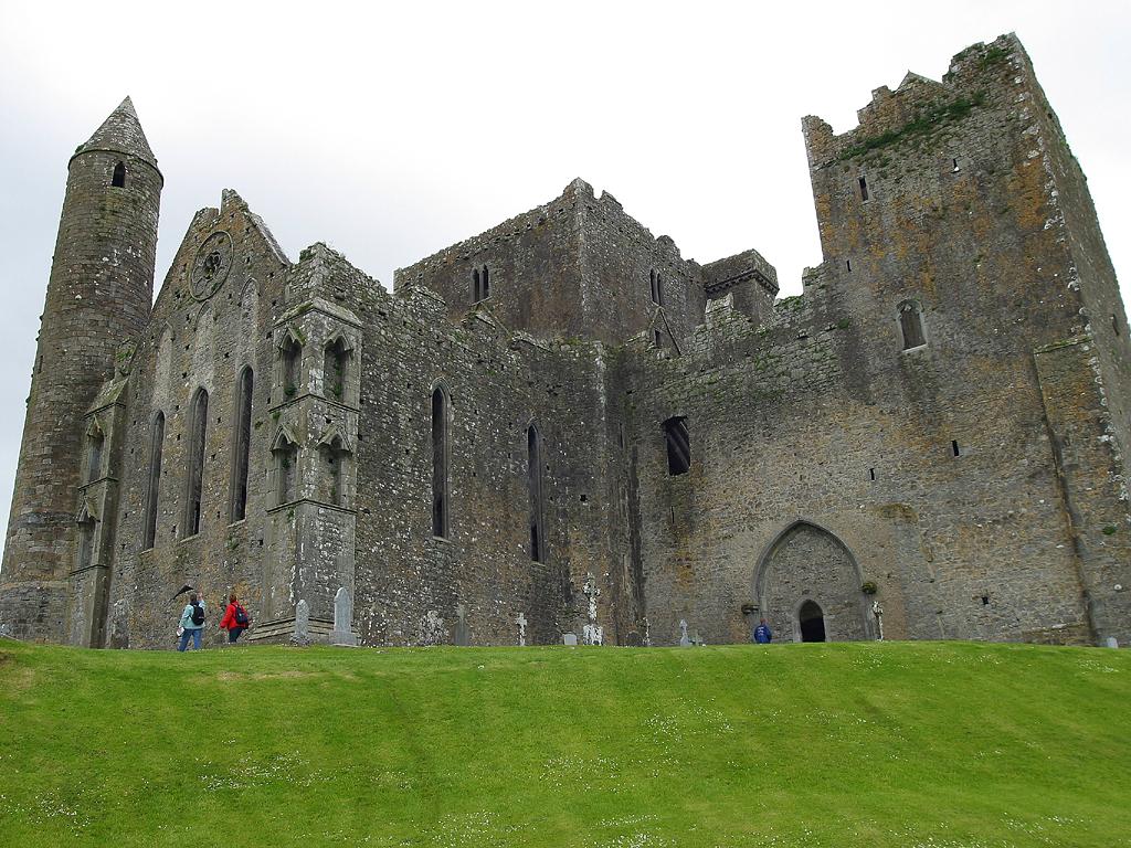
heritage · 0.7 km
The Rock of Cashel combines a dramatic limestone setting with a concentrated group of medieval buildings. It rewards attention to the structures as well as the familiar skyline.
Open place page →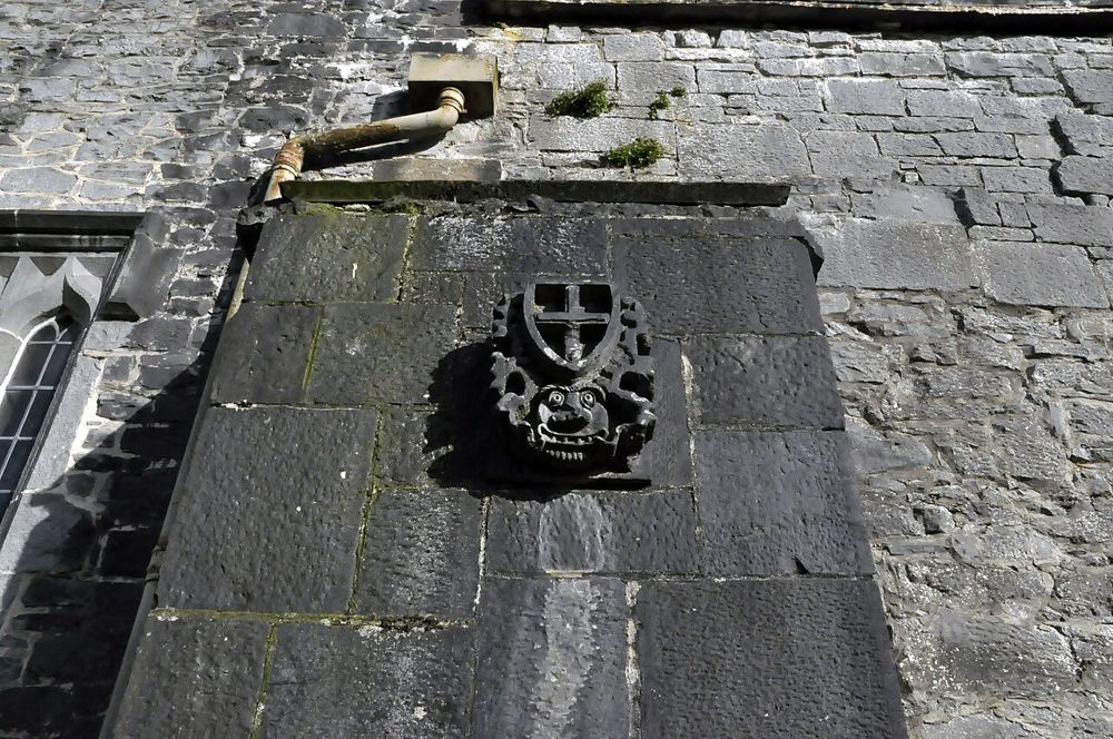
heritage · 13.9 km
Holycross is a restored medieval church that is still used for worship, which changes the atmosphere from that of a roofless abbey. The carved stone and vaulted spaces are worth looking at closely, but allow…
Open place page →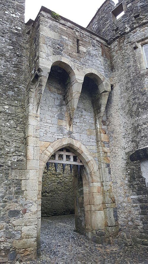
heritage · 15.8 km
Cahir gives you the physical logic of a fortress: a rocky river island, tight passages and walls that still make defensive sense. It is a strong choice if the word castle makes you imagine an actual stronghold…
Open place page →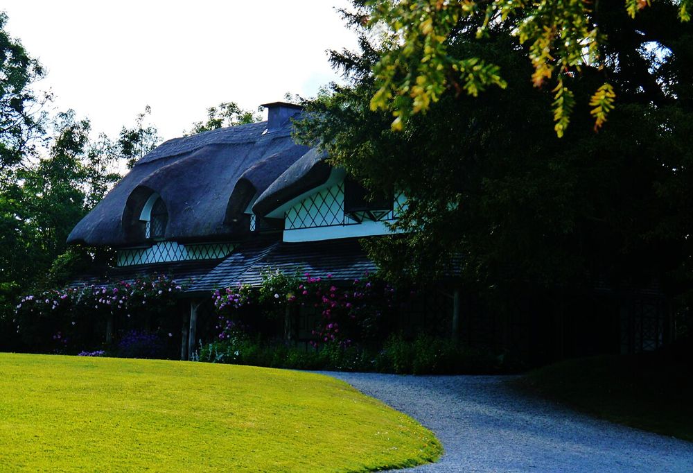
heritage · 17.9 km
The Swiss Cottage is deliberately fanciful: a thatched retreat designed to make country life look effortless. That contrast is the interesting part. It was a leisure building for an elite household, not an…
Open place page →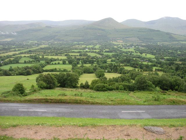
nature · 21.7 km
The Glen of Aherlow is a landscape to spend time in, not a single attraction with one entrance. The Galtees provide the dramatic backdrop, while lower woodland routes allow a gentler day beneath them. Decide…
Open place page →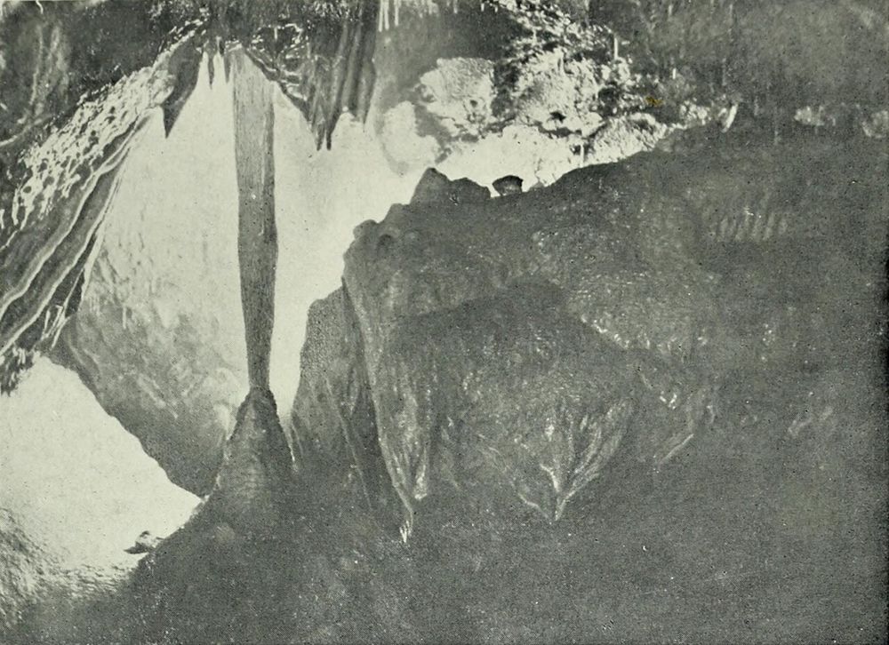
nature · 27.1 km
Mitchelstown Cave is a deliberate change of scene from the roads above: a descent into limestone chambers with a guide controlling the pace and explanation. The formations are the attraction, but the entrance…
Open place page →A first-person archaeological account describes muddy conditions and cattle in the field, while highlighting the view back towards the Rock. That is a useful practical balance: the atmosphere is the reward, but the approach is not a guaranteed easy-access walkway.
Original paraphrases of public visitor accounts. These are limited perspectives, not a representative survey or a claim of our own visit. Use current operator information for access and opening.
Location & access
Expect a roofless ruin with uneven, potentially muddy ground. Public visitor accounts describe cattle in the surrounding field. Respect working land and follow the designated access; do not approach livestock or cross a closed gate because an old photo shows someone inside.
52.51600, -7.89770 · Reference point; confirm the correct entrance and access. Map © OpenStreetMap contributors.
Source-based place brief. A catalogue reference is not a live availability check or a report of a personal visit.
Visitor details checked 19 October 2026. Page content updated 2026-10-20.