Forest landscape
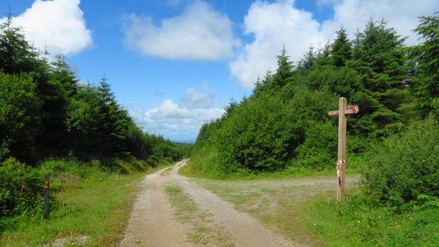
Tree cover, slopes and occasional openings give the outing its rhythm.
nature · Limerick
Ballyhoura is a place to choose an activity deliberately: forest walking and mountain biking use a landscape that is much larger than a single viewpoint. The right trail matters more than collecting a summit photograph.
Source-based editorial assessment · out of 10
Choose a signed walking route or book the equipment and experience needed for biking. Do not set out on a bike trail as though it were an ordinary shared footpath.
Check current trail maps, grades and closures. Mountain biking requires suitable equipment and skill; walking routes and bike routes must not be confused.
Best for: Forest landscape and trail network
Planning blend: 7.0 / 10 · Sustainability: unrated
Experience considers the reward and depth of this particular stop. Visitor friendliness considers practical ease: arrival, booking, physical demands, cost and flexibility. These are editorial judgements based on linked information, not visitor averages or a claim of a personal visit.
Assessed . Supporting guide source-check date: 2026-10-19. The assessment date does not mean every linked source was newly checked.
The blend uses (40 × Experience + 55 × Visitor friendliness) ÷ 95, rounded to the nearest half point. Missing sustainability does not affect it. A missing current visit score is not zero and has no blend.
A high score is not a safety clearance or a guarantee of step-free access. Food-stop scores concern the planned visit, not an untested meal. Read the scale and scope · Suggest a correction.
From research
Choose a signed walking route or book the equipment and experience needed for biking. Do not set out on a bike trail as though it were an ordinary shared footpath.
Know before you book: The activity determines the visit. A short nature walk, a longer hill loop and a technical mountain-bike trail are not interchangeable ways of reaching the same photograph. Choose the exact published route, equipment and skill level before arrival, then give the forest enough time without overselling what one outing can cover.
Place highlights
Tree cover, slopes and occasional openings give the outing its rhythm.
The designed routes are the attraction, with different demands for different users.
The story behind the visit
Forestry and recreation meet in the Ballyhoura landscape. Its modern trail network shows how a working forest can support carefully organised outdoor activity. Source ↗
Dated visitor information
Use the official Ballyhoura trailhead directions for the activity selected; the landscape spans the Cork–Limerick area, and this guide concerns the Limerick-side forest access. Official visitor information ↗
Source information checked 19 October 2026; confirm current access and visitor arrangements with the operator.
Do not assume that. Select a designated walking route or an appropriate biking trail and follow the current activity-specific signs. Source ↗
No. The long-distance Way and local forest trails are different undertakings. Check the exact trailhead, distance and grade for the outing you intend. Source ↗
Nearby options
Distances are straight-line estimates between catalogue pins, within 30 km. Roads, entrances and walking routes may be much longer. Known closed places are excluded; inclusion does not confirm opening today.
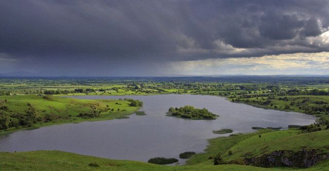
heritage · 22.9 km
Lough Gur rewards seeing archaeology in a lived-in landscape: water, slopes and monuments are close enough to read together, but not all are reached from the same doorway.
Open place page →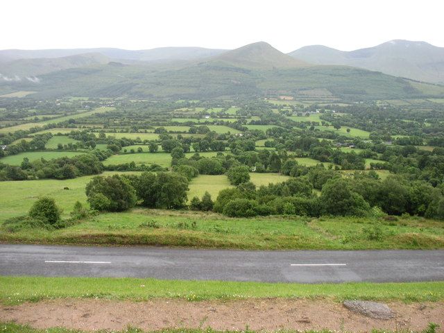
nature · 24.6 km
The Glen of Aherlow is a landscape to spend time in, not a single attraction with one entrance. The Galtees provide the dramatic backdrop, while lower woodland routes allow a gentler day beneath them. Decide…
Open place page →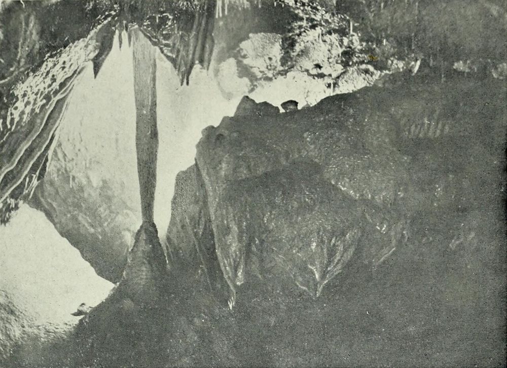
nature · 26.2 km
Mitchelstown Cave is a deliberate change of scene from the roads above: a descent into limestone chambers with a guide controlling the pace and explanation. The formations are the attraction, but the entrance…
Open place page →The public walker account values the wider Ballyhoura landscape and route maintenance around a walking festival. It concerns the long-distance Way, not every local forest loop. Use it as regional atmosphere only, and choose today's specific walking or biking route from the official trail map.
Original paraphrases of public visitor accounts. These are limited perspectives, not a representative survey or a claim of our own visit. Use current operator information for access and opening.
Location & access
The activity determines the visit. A short nature walk, a longer hill loop and a technical mountain-bike trail are not interchangeable ways of reaching the same photograph. Choose the exact published route, equipment and skill level before arrival, then give the forest enough time without overselling what one outing can cover.
52.31400, -8.49500 · Reference point; confirm the correct entrance and access. Map © OpenStreetMap contributors.
Source-based place brief. A catalogue reference is not a live availability check or a report of a personal visit.
Visitor details checked 19 October 2026. Page content updated 2026-10-20.