Lakeside setting
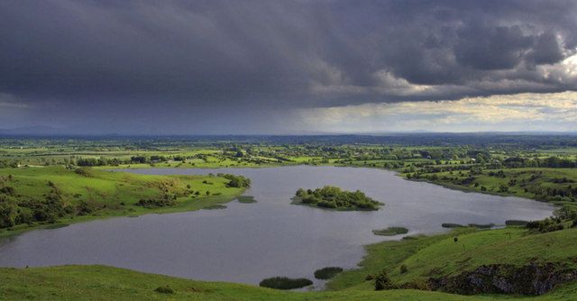
The relationship between water and settlement is the immediate attraction.
heritage · Limerick
Lough Gur rewards seeing archaeology in a lived-in landscape: water, slopes and monuments are close enough to read together, but not all are reached from the same doorway.
Source-based editorial assessment · out of 10
Choose the heritage centre for orientation, then select a small number of nearby outdoor stops. Trying to find every monument without a map can make the visit feel fragmented.
Check centre opening and the current map of permitted access. Outdoor monuments may lie at separate locations or beside private land.
Best for: Lakeside setting and heritage interpretation
Planning blend: 7.5 / 10 · Sustainability: unrated
Experience considers the reward and depth of this particular stop. Visitor friendliness considers practical ease: arrival, booking, physical demands, cost and flexibility. These are editorial judgements based on linked information, not visitor averages or a claim of a personal visit.
Assessed . Supporting guide source-check date: 2026-10-19. The assessment date does not mean every linked source was newly checked.
The blend uses (40 × Experience + 55 × Visitor friendliness) ÷ 95, rounded to the nearest half point. Missing sustainability does not affect it. A missing current visit score is not zero and has no blend.
A high score is not a safety clearance or a guarantee of step-free access. Food-stop scores concern the planned visit, not an untested meal. Read the scale and scope · Suggest a correction.
From research
Choose the heritage centre for orientation, then select a small number of nearby outdoor stops. Trying to find every monument without a map can make the visit feel fragmented.
Know before you book: Begin by understanding the area rather than treating the lakeside as the location of every ancient monument. Some stops are separate, and an enthusiastic online description can blur those distances. Select what you genuinely want to see and use the official access guidance instead of setting off across the landscape on assumption.
Place highlights
The relationship between water and settlement is the immediate attraction.
Use the centre to distinguish periods and locations before exploring farther.
The story behind the visit
The area preserves evidence of thousands of years of human activity. Its prehistoric, medieval and folklore layers should be understood as a sequence rather than one single ancient settlement. Source ↗
Dated visitor information
Start at the signed Lough Gur visitor area near Bruff; use official directions for additional monuments rather than cutting across fields. Official visitor information ↗
Source information checked 19 October 2026; confirm current access and visitor arrangements with the operator.
No. The archaeological landscape includes separate locations. Use the centre's current map and directions and respect private land. Source ↗
When open, it is a useful way to organise the different periods and sites before exploring outdoors. Confirm the season and access first. Source ↗
Nearby options
Distances are straight-line estimates between catalogue pins, within 30 km. Roads, entrances and walking routes may be much longer. Known closed places are excluded; inclusion does not confirm opening today.
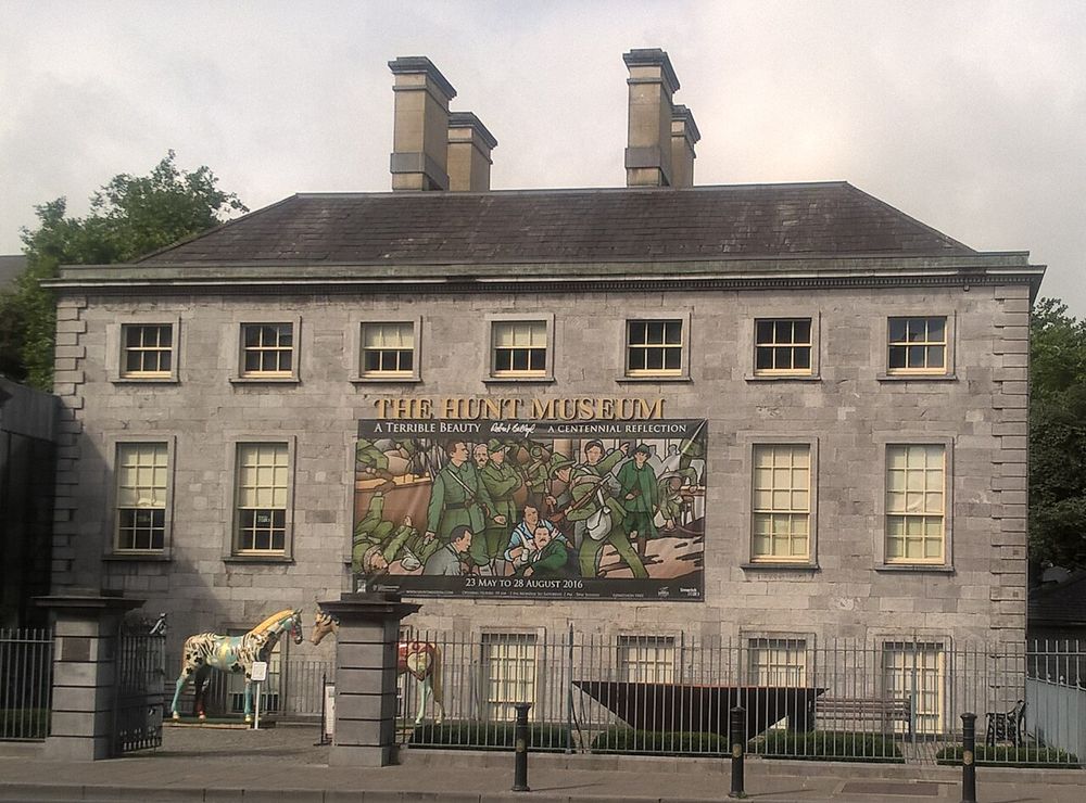
attraction · 17.8 km
The Hunt is for looking closely: a relatively compact collection where small objects can hold the attention longer than their size suggests. It makes a useful indoor counterpart to Limerick's larger stone…
Open place page →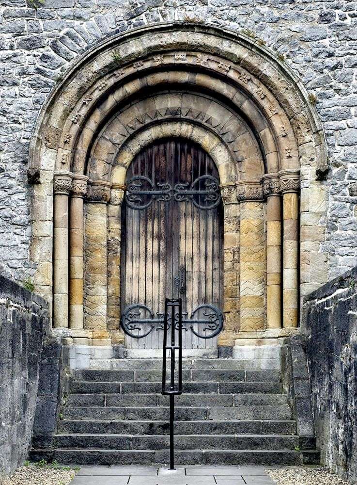
heritage · 18.1 km
St Mary's gives Limerick's medieval quarter a quieter centre. The interest lies in how a long-used cathedral has accumulated architecture, monuments and signs of worship rather than remaining unchanged.
Open place page →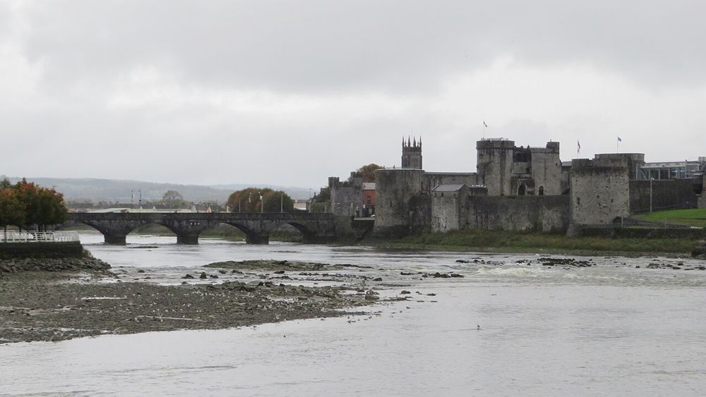
heritage · 18.2 km
King John's Castle makes the Shannon part of the history lesson. Its walls and towers give the city's strategic position an immediate scale, while the visitor exhibition supplies the detail that bare stone…
Open place page →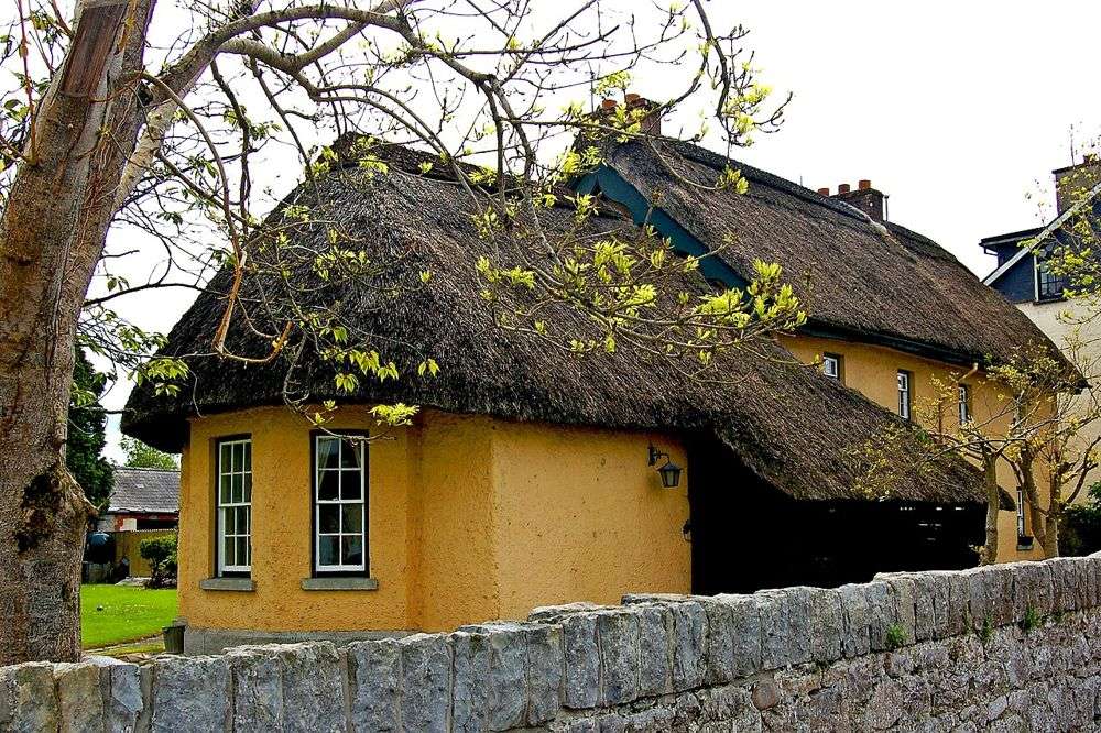
city · 18.8 km
Adare is easy to reduce to a row of thatched cottages, but the village works better as a slow walk through architecture, parks and religious buildings. Give it room beyond the first photograph.
Open place page →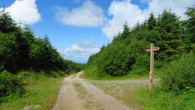
nature · 22.9 km
Ballyhoura is a place to choose an activity deliberately: forest walking and mountain biking use a landscape that is much larger than a single viewpoint. The right trail matters more than collecting a summit…
Open place page →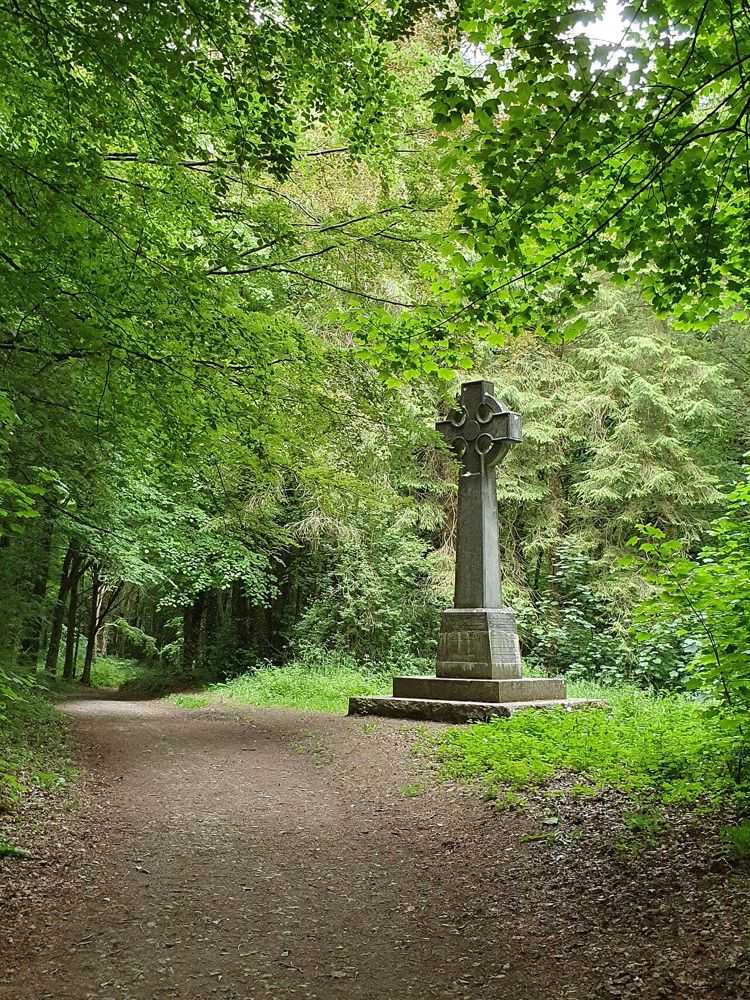
nature · 25.7 km
Curraghchase's ruined house gives a woodland outing a recognisable centre, but the quieter pleasure is following the estate landscape away from that first view. Trees, water and open ground give the park…
Open place page →The accessible visitor account praises a local guide for making the history interesting and recommends the centre as part of the visit. That is a limited sample, but supports starting with explanation before exploring the scattered monuments. A past review does not establish today’s opening, tour availability or access to every archaeological site.
Original paraphrases of public visitor accounts. These are limited perspectives, not a representative survey or a claim of our own visit. Use current operator information for access and opening.
Location & access
Begin by understanding the area rather than treating the lakeside as the location of every ancient monument. Some stops are separate, and an enthusiastic online description can blur those distances. Select what you genuinely want to see and use the official access guidance instead of setting off across the landscape on assumption.
52.51900, -8.52100 · Reference point; confirm the correct entrance and access. Map © OpenStreetMap contributors.
Source-based place brief. A catalogue reference is not a live availability check or a report of a personal visit.
Visitor details checked 19 October 2026. Page content updated 2026-10-20.