Cliff section
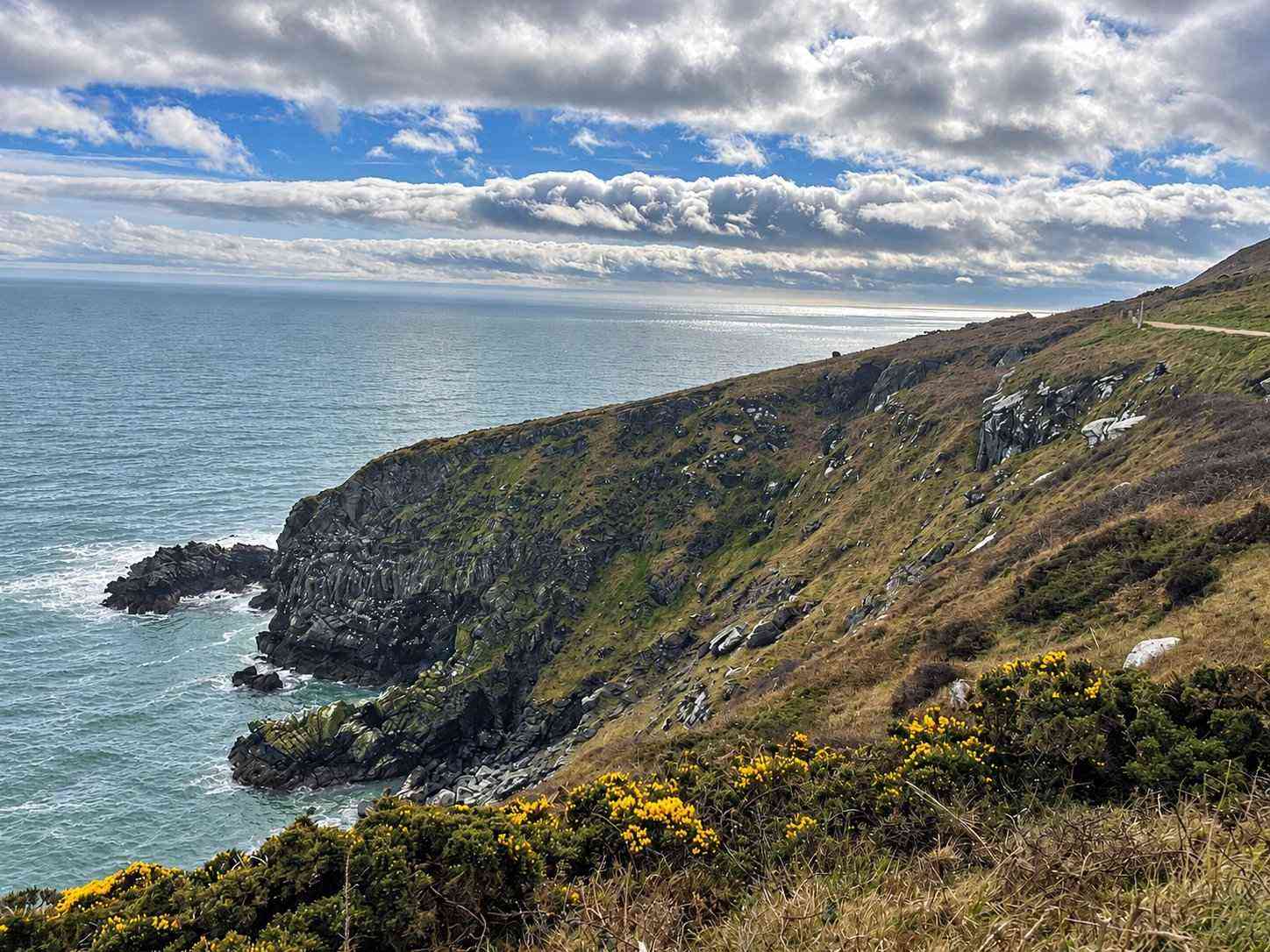
The coastal route passes views toward the Baily Lighthouse before continuing beyond the shorter loops.
nature · Dublin
The full purple-marked Bog of Frogs loop: a substantial coastal hike, not just a quick walk to a viewpoint.
Source-based editorial assessment · out of 10
Cliffs, open hill and an inland return make the full Bog of Frogs loop a varied coastal hike, with considerably more depth than a single viewpoint stop.
The published loop begins at the railway station, which helps arrival planning. Its strenuous grade, rough exposed terrain and substantial distance require footwear, daylight and weather preparation.
Best for: Prepared coastal hikers
Planning blend: 6.5 / 10 · Sustainability: unrated
Experience considers the reward and depth of this particular stop. Visitor friendliness considers practical ease: arrival, booking, physical demands, cost and flexibility. These are editorial judgements based on linked information, not visitor averages or a claim of a personal visit.
Assessed . Supporting guide source-check date: 15 October 2026. The assessment date does not mean every linked source was newly checked.
The blend uses (40 × Experience + 55 × Visitor friendliness) ÷ 95, rounded to the nearest half point. Missing sustainability does not affect it. A missing current visit score is not zero and has no blend.
A high score is not a safety clearance or a guarantee of step-free access. Food-stop scores concern the planned visit, not an untested meal. Read the scale and scope · Suggest a correction.
From research
Choose it for varied cliff, hill and woodland terrain if your group is prepared for a strenuous route. Choose a shorter officially mapped loop if a long hike would crowd out the rest of your day.
Before you go: Sport Ireland grades this loop strenuous. Rough surfaces, exposed coastal sections and route-finding decisions make ordinary city-walking expectations unsuitable.
Place highlights
The coastal route passes views toward the Baily Lighthouse before continuing beyond the shorter loops.
The full circuit changes character through hillside and woodland terrain before returning along the old tramline.
The story behind the visit
Howth’s short coastal photographs can disguise the scale of the Bog of Frogs loop. The full purple route does not simply go to the Summit and turn back. It continues along the peninsula before climbing inland and eventually returning by the old tramline. That change of terrain is its main interest: the walk links a fishing village’s edge with a less immediately visible landscape of hills, woodland and open coast. Knowing that sequence helps explain why a single scenic map pin is inadequate preparation. Source ↗
The route also asks for a different decision from a harbour stroll. Sport Ireland lists it as strenuous and recommends walking boots for rough ground. This is an activity to select according to fitness, daylight and conditions, not an automatic add-on after lunch. Follow the official waymarks and map rather than improvised shortcuts. If the full circuit is too much, choose a shorter mapped route at the planning stage; reaching a viewpoint is not a reason to commit to the rest of a demanding loop. Source ↗
Dated visitor information
The official trail starts at Howth Railway Station, then heads along the harbour before joining the cliff path. Official visitor information ↗
Source information checked 15 October 2026; confirm current access and visitor arrangements with the operator.
No. It is the full Bog of Frogs loop; shorter green, blue and red routes diverge from it. Source ↗
Sport Ireland recommends walking boots for rough sections; choose footwear and a route suitable for conditions. Source ↗
The trail passes the lighthouse area; it is not an admission ticket or permission to enter its grounds. Source ↗
Nearby options
Distances are straight-line estimates between catalogue pins, within 30 km. Roads, entrances and walking routes may be much longer. Known closed places are excluded; inclusion does not confirm opening today.
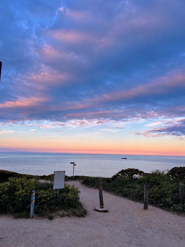
coast · 0.4 km
A coastal outlook on Howth Head, useful when you want views without committing to the full Bog of Frogs loop.
Open place page →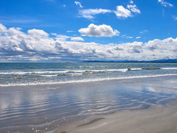
coast · 5.7 km
Dollymount’s beach, dunes and protected wildlife habitats form a very different side of Dublin’s urban coast.
Open place page →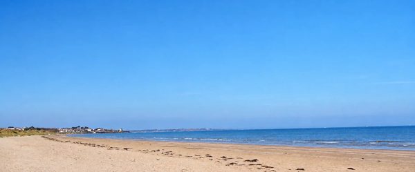
coast · 6.4 km
A broad sandy shore where a beach walk, dune habitat and aviation history meet.
Open place page →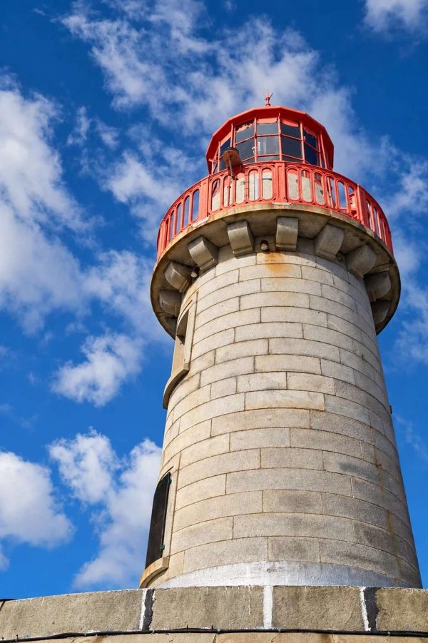
coast · 9.5 km
An out-and-back harbour walk on Dún Laoghaire’s East Pier, with views across the boats and bay.
Open place page →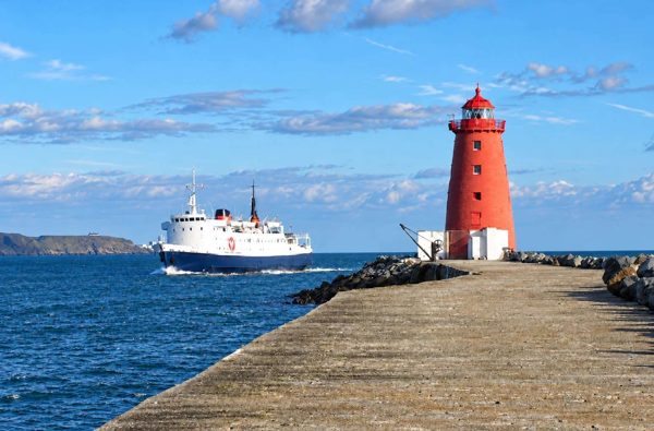
coast · 9.5 km
An exposed harbour-wall walk towards the red Poolbeg Lighthouse, with shipping and bay views.
Open place page →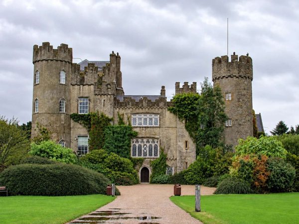
nature · 9.9 km
A park-and-playground visit in Malahide’s castle demesne, distinct from the paid heritage attractions.
Open place page →An accessible walker explicitly mentions wind, uphill effort and the need for appropriate clothing despite enjoying the coast. That is a better expectation than treating a popular city excursion as a level promenade. The account does not establish today’s closures, surface condition or suitability for your group.
Original paraphrases of public visitor accounts. These are limited perspectives, not a representative survey or a claim of our own visit. Use current operator information for access and opening.
Location & access
Sport Ireland grades this loop strenuous. Rough surfaces, exposed coastal sections and route-finding decisions make ordinary city-walking expectations unsuitable.
53.37800, -6.06000 · Reference point; confirm the correct entrance and access. Map © OpenStreetMap contributors.
Source-based place brief. A catalogue reference is not a live availability check or a report of a personal visit.
Visitor details checked 15 October 2026. Page content updated 2026-10-15.