The Corrib setting
Use permitted riverbank routes to experience a different side of the university.
attraction · County Galway
Choose a permitted riverside section of the University Trail, with access hours, surfaces and a sensible turnaround checked first.
Source-based editorial assessment · out of 10
The Corrib landscape adds a quieter natural dimension to the public campus trail. Its appeal is a chosen riverside section, not a promise of an uninterrupted accessible circuit.
Needs more route checking than the courtyard. Confirm permitted paths, access hours and surfaces, and choose a turnaround appropriate for weather and your group.
Best for: A quieter campus and river walk
Planning blend: 7.0 / 10 · Sustainability: unrated
Experience considers the reward and depth of this particular stop. Visitor friendliness considers practical ease: arrival, booking, physical demands, cost and flexibility. These are editorial judgements based on linked information, not visitor averages or a claim of a personal visit.
Assessed . Supporting guide source-check date: 2026-10-19. The assessment date does not mean every linked source was newly checked.
The blend uses (40 × Experience + 55 × Visitor friendliness) ÷ 95, rounded to the nearest half point. Missing sustainability does not affect it. A missing current visit score is not zero and has no blend.
A high score is not a safety clearance or a guarantee of step-free access. Food-stop scores concern the planned visit, not an untested meal. Read the scale and scope · Suggest a correction.
From research
Best for a slower outdoor interval on the campus day. It is optional if gravel, weather or access hours do not suit your group.
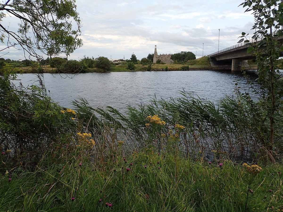
Know before you book: The hero is a river view near the campus, not the exact waypoint or a verified path entrance. The pin does not define a continuous accessible route.
Place highlights
Use permitted riverbank routes to experience a different side of the university.
Follow the official trail and local signs; the whole campus does not have a single access schedule.
Turn back before the walk exceeds your group’s energy or the available access period.
The story behind the visit
The University Trail describes a River Corrib Greenway heading north towards Dangan and notes surviving pillars of a former railway bridge. This helps explain why the riverside is more than spare land beside the campus: transport and university landscapes overlap along the river. Source ↗
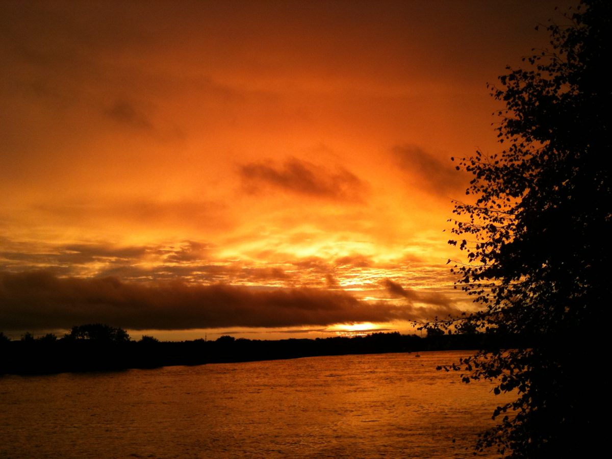
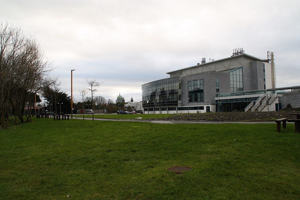
The university gives the riverside greenway different hours from the Quadrangle and notes gravel in places. Check the section you intend to walk, then choose a turnaround that leaves enough time for the city return. The gallery includes a river view and clearly labelled campus approach context. Source ↗
Dated visitor information
University riverbank through South and North Campus. Use campus signs for entrances; a river-view pin is not an entrance. Official visitor information ↗
Source information checked 19 October 2026; confirm current access and visitor arrangements with the operator.
No. It is a sourced river view near the campus, not the exact planner waypoint or a verified entrance. Source ↗
That has not been verified. The university notes gravel in places. Source ↗
No. Check the section’s own access hours; the greenway and courtyard have different published arrangements. Source ↗
Choose a permitted section and turnaround. This guide does not provide a surveyed distance or measured walking time. Source ↗
Nearby options
Distances are straight-line estimates between catalogue pins, within 30 km. Roads, entrances and walking routes may be much longer. Known closed places are excluded; inclusion does not confirm opening today.
attraction · 0.5 km
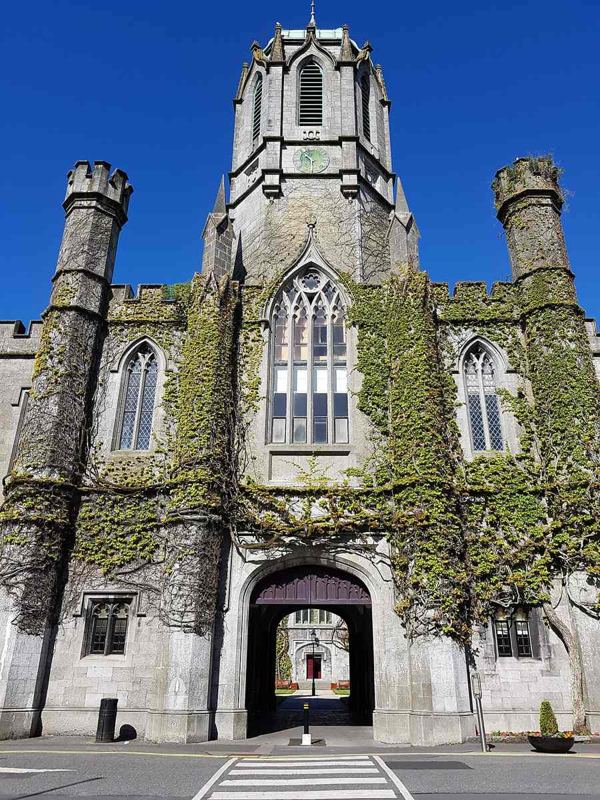
See the university’s historic limestone courtyard as part of its public trail, while keeping visitor areas and working rooms distinct.
Open place page →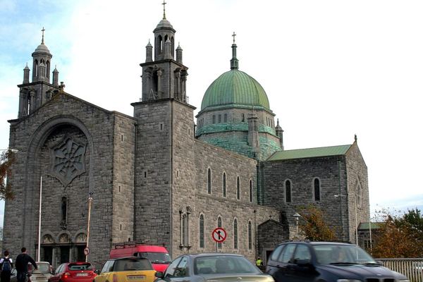
attraction · 1.0 km
Visit Galway Cathedral outside services, with particular attention to its architecture and the practical entrance guidance.
Open place page →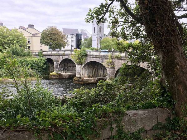
attraction · 1.0 km
Use the Corrib and bridge area as a final city view, distinguishing the older stone road bridge from the newer pedestrian crossing.
Open place page →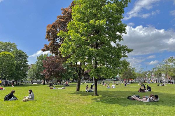
attraction · 1.3 km
Start with Galway’s green meeting point, then decide which streets and waterfront stops deserve the rest of your day.
Open place page →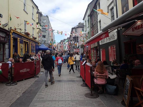
attraction · 1.5 km
Browse Galway’s old-centre streets around Quay Street, with time for food, shopfronts and a change of pace before the waterfront.
Open place page →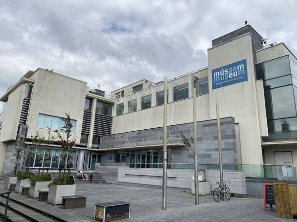
attraction · 1.7 km
Give the waterfront some context with Galway’s archaeology, history and culture at the museum beside Spanish Arch.
Open place page →A public discussion recommends the university riverside for a quieter walk beyond the central waterfront, while a published e-bike account includes it as a campus stop. These are limited references to the wider route. Choose a short permitted section and check current campus access rather than assuming a complete uninterrupted circuit.
Original paraphrases of public visitor accounts. These are limited perspectives, not a representative survey or a claim of our own visit. Use current operator information for access and opening.
Location & access
Suggested visit allowance: about 100 minutes. Allow additional time for transfers and breaks.
53.28400, -9.06000 · Reference point; confirm the correct entrance and access. Map © OpenStreetMap contributors.
Source-based place brief. A catalogue reference is not a live availability check or a report of a personal visit.
Visitor details checked 19 October 2026. Page content updated 2026-10-20.