Identify the bridge
Compare the older stone structure with your surroundings rather than follow an image as route instructions.
attraction · County Galway
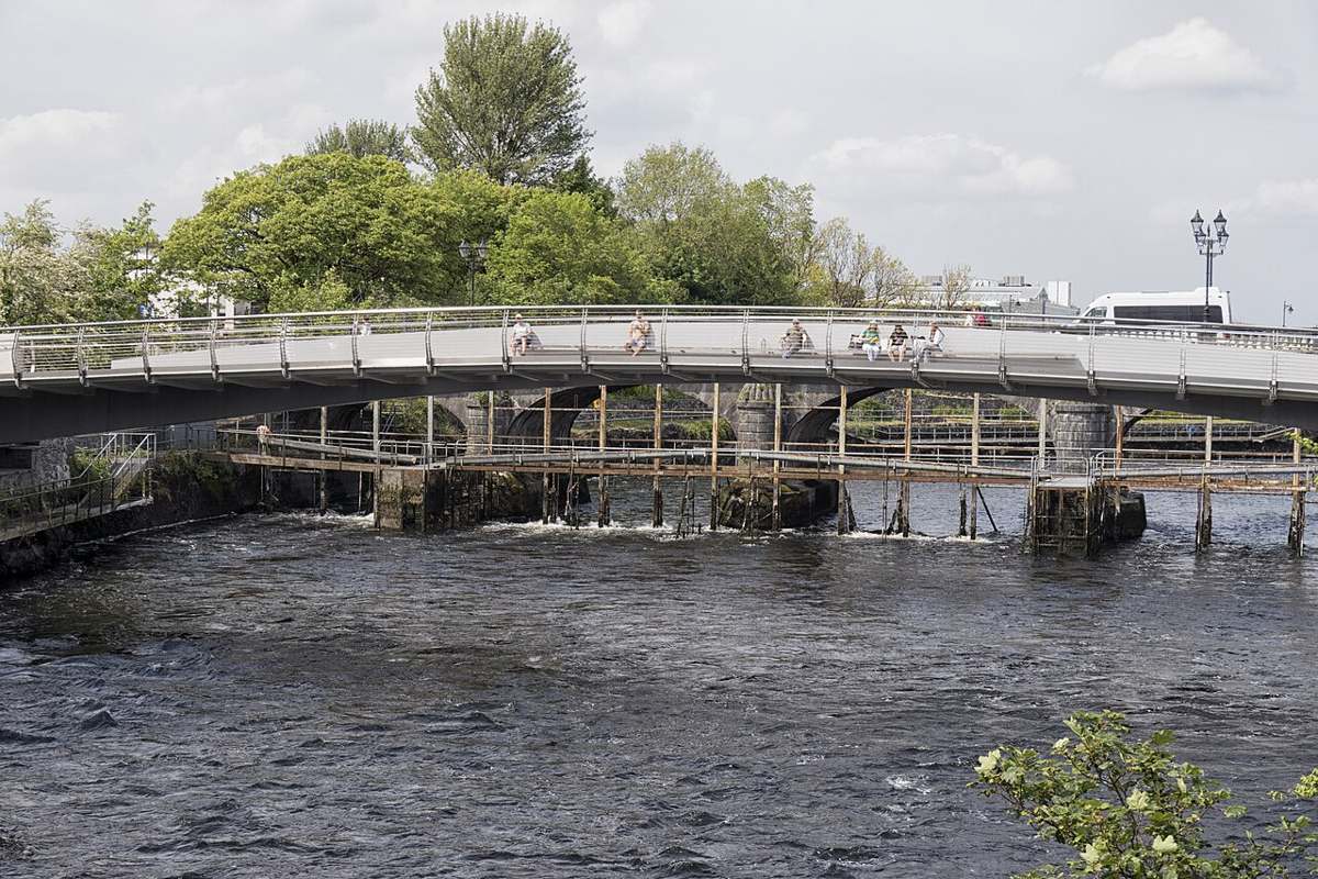
Use the Corrib and bridge area as a final city view, distinguishing the older stone road bridge from the newer pedestrian crossing.
Source-based editorial assessment · out of 10
A useful Corrib and bridge viewpoint linking the cathedral and city return. It works best as a connective pause; seeing salmon is not assured.
Easy to combine with nearby central stops, though bridge choice and crossings matter. The reference point does not describe a measured route or guarantee step-free access throughout.
Best for: A short river view between other visits
Planning blend: 7.5 / 10 · Sustainability: unrated
Experience considers the reward and depth of this particular stop. Visitor friendliness considers practical ease: arrival, booking, physical demands, cost and flexibility. These are editorial judgements based on linked information, not visitor averages or a claim of a personal visit.
Assessed . Supporting guide source-check date: 2026-10-19. The assessment date does not mean every linked source was newly checked.
The blend uses (40 × Experience + 55 × Visitor friendliness) ÷ 95, rounded to the nearest half point. Missing sustainability does not affect it. A missing current visit score is not zero and has no blend.
A high score is not a safety clearance or a guarantee of step-free access. Food-stop scores concern the planned visit, not an untested meal. Read the scale and scope · Suggest a correction.
From research
A useful short return towards the centre after the cathedral or campus. Keep onward travel and safe pedestrian approaches as the priority.
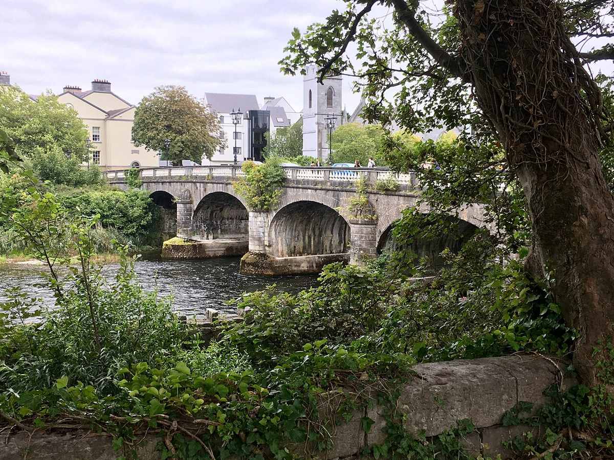
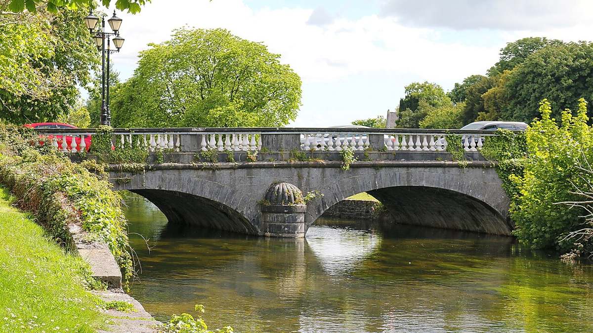
Know before you book: The photographs show the older stone road bridge and weir. Follow the signed pedestrian route for your crossing; no fish sighting is promised.
Place highlights
Compare the older stone structure with your surroundings rather than follow an image as route instructions.
Pause only where public pedestrian space allows; the water is not an access route.
Check your onward transport before adding another stop or event.
The story behind the visit
The river links the cathedral and university parts of this itinerary to the city centre. The university’s own trail uses the Corrib as a way to understand the campus surroundings; this final stop brings the focus back to the broader city. Source ↗
The older stone road bridge and newer pedestrian crossing serve different purposes. Use the current signs for your city return. The photographs help identify the historic bridge and weir, rather than set out turn-by-turn walking directions. Source ↗
Dated visitor information
Use the cathedral and Salmon Weir area to orient your return. Choose the signed pedestrian crossing rather than following a photo of the older road bridge. Official visitor information ↗
Source information checked 19 October 2026; confirm current access and visitor arrangements with the operator.
The image depicts the older stone road bridge, not the newer pedestrian crossing. Source ↗
No wildlife sighting is guaranteed by this guide. Source ↗
No. It marks a reference point. Follow signed public pedestrian routes and crossings. Source ↗
It is a flexible return-area stop. Leave extra time for the actual walk, meals and your onward connection. Source ↗
Nearby options
Distances are straight-line estimates between catalogue pins, within 30 km. Roads, entrances and walking routes may be much longer. Known closed places are excluded; inclusion does not confirm opening today.
attraction · 0.2 km
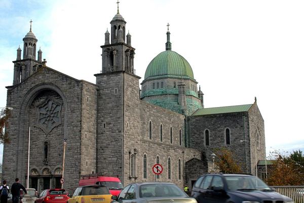
Visit Galway Cathedral outside services, with particular attention to its architecture and the practical entrance guidance.
Open place page →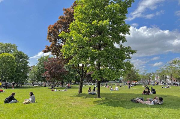
attraction · 0.4 km
Start with Galway’s green meeting point, then decide which streets and waterfront stops deserve the rest of your day.
Open place page →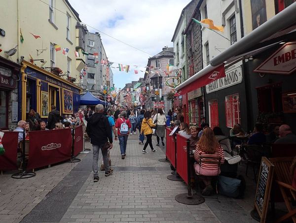
attraction · 0.5 km
Browse Galway’s old-centre streets around Quay Street, with time for food, shopfronts and a change of pace before the waterfront.
Open place page →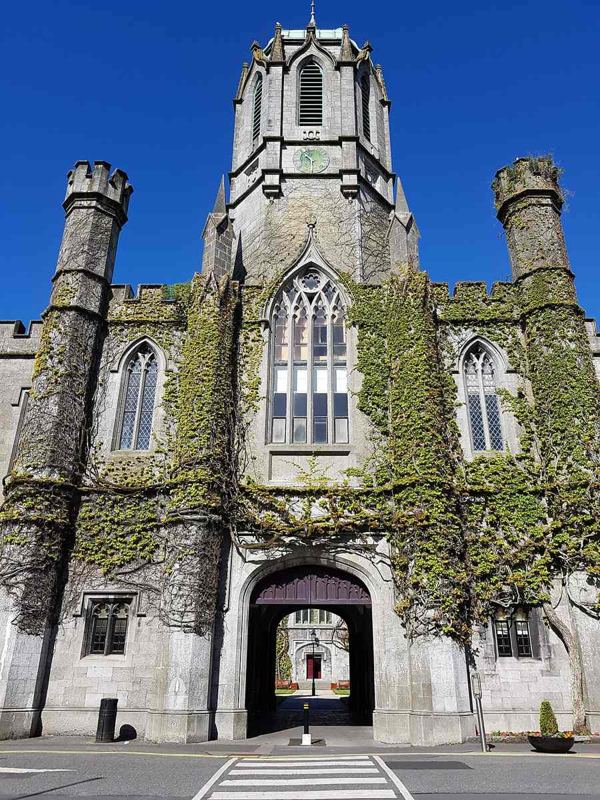
attraction · 0.6 km
See the university’s historic limestone courtyard as part of its public trail, while keeping visitor areas and working rooms distinct.
Open place page →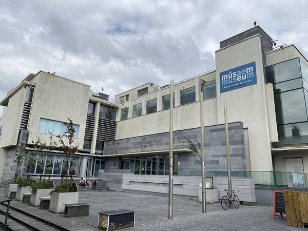
attraction · 0.7 km
Give the waterfront some context with Galway’s archaeology, history and culture at the museum beside Spanish Arch.
Open place page →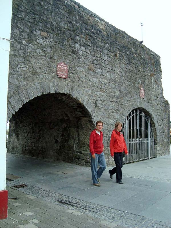
attraction · 0.7 km
See Galway’s surviving waterfront arches, then follow the public waterside towards the Long Walk’s colourful frontage.
Open place page →Accessible visitor excerpts describe the bridge as a useful connection between city, cathedral and university, with views of the Corrib. Treat that as feedback on a short route link rather than a major standalone attraction. Reviewer descriptions of its age are inconsistent, so use the guide’s sourced history and current pedestrian route.
Original paraphrases of public visitor accounts. These are limited perspectives, not a representative survey or a claim of our own visit. Use current operator information for access and opening.
Location & access
Suggested visit allowance: about 45 minutes. Allow additional time for transfers and breaks.
53.27520, -9.05540 · Reference point; confirm the correct entrance and access. Map © OpenStreetMap contributors.
Source-based place brief. A catalogue reference is not a live availability check or a report of a personal visit.
Visitor details checked 19 October 2026. Page content updated 2026-10-20.