Shimna River
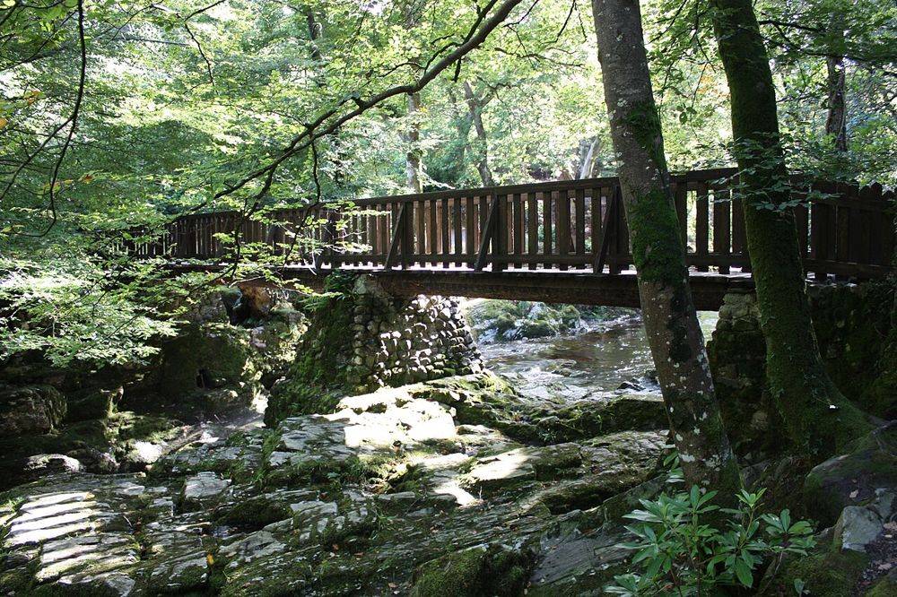
Look at the sequence of water, boulders and bridges along the signed riverside route. Keep to permitted paths beside the river.
nature · Down · Northern Ireland
Tollymore is a forest with deliberate flourishes: stone bridges, unusual buildings and riverside paths sit beneath the trees. Those small built details make it more than a backdrop for a woodland photograph.
Source-based editorial assessment · out of 10
Pick one waymarked route and enjoy its details. It suits a dedicated walk better than a quick stop squeezed between several Mourne attractions.
Confirm parking charges and facilities for the date. A shorter trail may be a better choice than carrying an ambitious plan into wet or windy conditions.
Best for: A forest park with several route lengths; river banks, steps and damp surfaces vary between trails.
Planning blend: 8.0 / 10 · Sustainability: unrated
Experience considers the reward and depth of this particular stop. Visitor friendliness considers practical ease: arrival, booking, physical demands, cost and flexibility. These are editorial judgements based on linked information, not visitor averages or a claim of a personal visit.
Assessed . Supporting guide source-check date: 2026-10-19. The assessment date does not mean every linked source was newly checked.
The blend uses (40 × Experience + 55 × Visitor friendliness) ÷ 95, rounded to the nearest half point. Missing sustainability does not affect it. A missing current visit score is not zero and has no blend.
A high score is not a safety clearance or a guarantee of step-free access. Food-stop scores concern the planned visit, not an untested meal. Read the scale and scope · Suggest a correction.
From research
Pick one waymarked route and enjoy its details. It suits a dedicated walk better than a quick stop squeezed between several Mourne attractions.
Know before you book: A forest park with several route lengths; river banks, steps and damp surfaces vary between trails.
Place highlights
Look at the sequence of water, boulders and bridges along the signed riverside route. Keep to permitted paths beside the river.
The gates and ornamental structures reveal a designed landscape within what first appears to be wild woodland.
The story behind the visit
The park’s character comes from both natural river scenery and the former estate’s taste for ornamental architecture. Its later screen appearances add another layer rather than explaining the whole place. Source ↗
Dated visitor information
Use the signed Tollymore Forest Park entrance near Bryansford outside Newcastle. A Newcastle bus journey does not by itself complete the transfer to the trailhead. Official visitor information ↗
Source information checked 19 October 2026; confirm current access and visitor arrangements with the operator.
The park offers forest routes; these are distinct from heading into the higher Mournes. Source ↗
Use the current waymarked map and choose the length and terrain your group can manage. Source ↗
Nearby options
Distances are straight-line estimates between catalogue pins, within 30 km. Roads, entrances and walking routes may be much longer. Known closed places are excluded; inclusion does not confirm opening today.
nature · 4.5 km
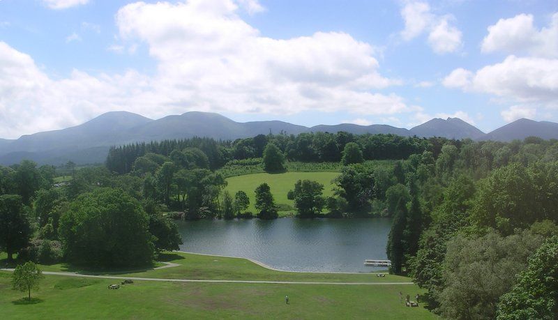
Castlewellan’s lake gives a forest outing a clear centre. You can shape a visit around water and trees without assuming everyone wants a strenuous hill day or an organised activity.
Open place page →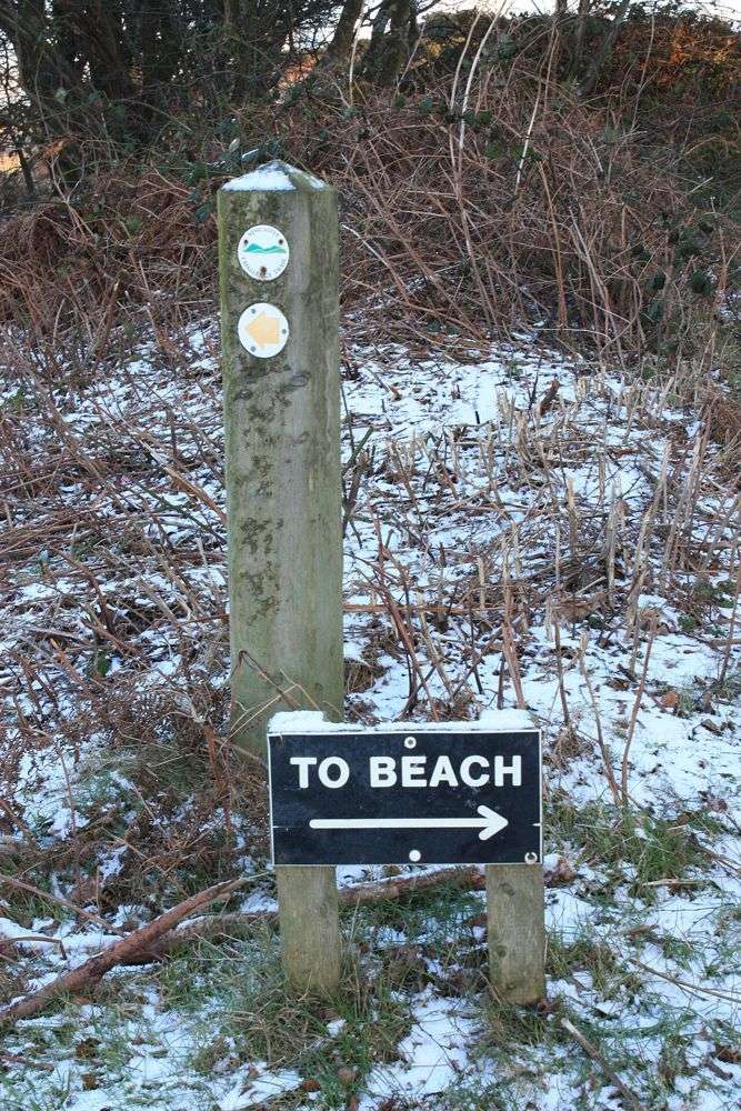
coast · 6.3 km
Murlough’s interest begins before the beach. Paths cross a dune landscape with changing vegetation, glimpses of open sand and the Mournes behind. Slowing down here reveals more than walking directly to the…
Open place page →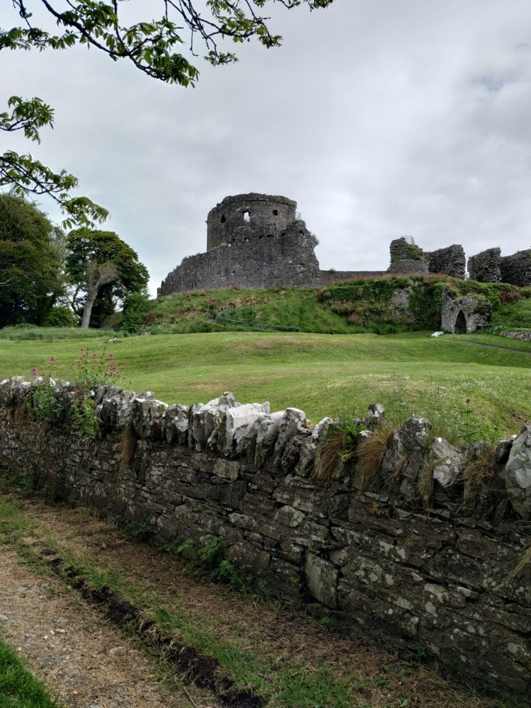
heritage · 7.5 km
Dundrum Castle’s hilltop position is its best introduction. The climb above the village opens a view across the bay, while the circular keep and broken enclosures make the defensive layout easy to read.
Open place page →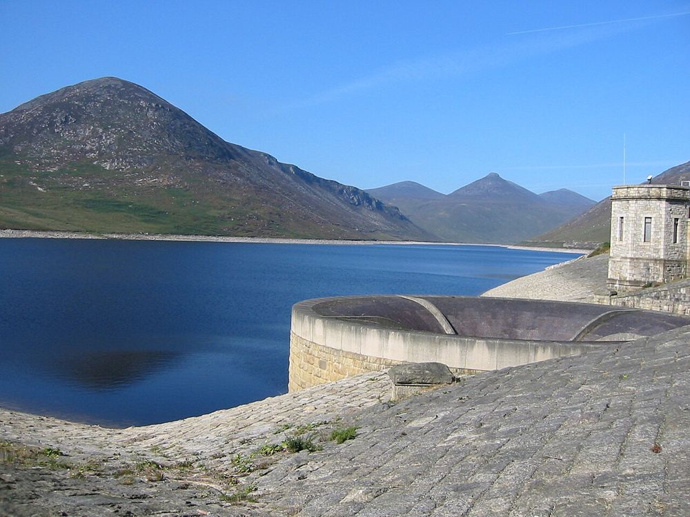
nature · 8.8 km
Silent Valley combines a mountain setting with an unmistakably engineered landscape. The reservoir’s straight edges and dam walls sit against the Mournes, making the water-supply story visible without needing…
Open place page →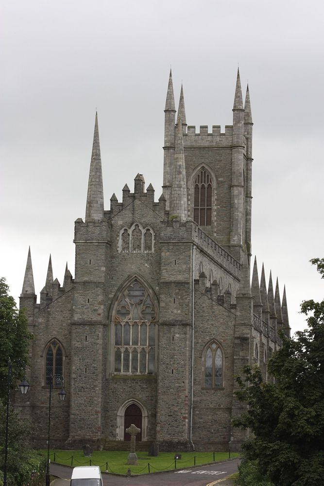
heritage · 18.1 km
Down Cathedral sits above Downpatrick, where the hill, churchyard and association with Saint Patrick create a quieter stop than a conventional museum visit. It remains a working place of worship.
Open place page →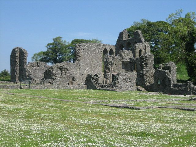
heritage · 18.6 km
Inch Abbey is an open-air ruin where the surviving church walls do much of the storytelling. The surrounding landscape helps you imagine a monastic precinct, provided you take time to read what remains.
Open place page →The retrieved visitor reviews value the wooded scenery and variety of walks. Some accounts concern camping rather than a day visit, so their comments about pitches should not be treated as evidence about trail access. The river outing deserves its own weather and route check.
Original paraphrases of public visitor accounts. These are limited perspectives, not a representative survey or a claim of our own visit. Use current operator information for access and opening.
Location & access
A forest park with several route lengths; river banks, steps and damp surfaces vary between trails.
54.22455, -5.94030 · Reference point; confirm the correct entrance and access. Map © OpenStreetMap contributors.
Source-based place brief. A catalogue reference is not a live availability check or a report of a personal visit.
Visitor details checked 19 October 2026. Page content updated 2026-10-20.
