Dune habitats
Look for changes in plants and shelter as you move through the reserve. Stay on the managed routes to protect the fragile ground.
coast · Down · Northern Ireland
Murlough’s interest begins before the beach. Paths cross a dune landscape with changing vegetation, glimpses of open sand and the Mournes behind. Slowing down here reveals more than walking directly to the water.
Source-based editorial assessment · out of 10
Choose it for dunes, a shore walk and wide views. It is a nature reserve first, so the best plan follows permitted routes rather than searching for a private patch.
Check parking, toilets and seasonal facilities before leaving. This guide concerns a shore visit and does not certify swimming conditions or lifeguard coverage.
Best for: An exposed coastal reserve with sandy sections and route choices distinct from a guaranteed accessible beach approach.
Planning blend: 8.0 / 10 · Sustainability: unrated
Experience considers the reward and depth of this particular stop. Visitor friendliness considers practical ease: arrival, booking, physical demands, cost and flexibility. These are editorial judgements based on linked information, not visitor averages or a claim of a personal visit.
Assessed . Supporting guide source-check date: 2026-10-19. The assessment date does not mean every linked source was newly checked.
The blend uses (40 × Experience + 55 × Visitor friendliness) ÷ 95, rounded to the nearest half point. Missing sustainability does not affect it. A missing current visit score is not zero and has no blend.
A high score is not a safety clearance or a guarantee of step-free access. Food-stop scores concern the planned visit, not an untested meal. Read the scale and scope · Suggest a correction.
From research
Choose it for dunes, a shore walk and wide views. It is a nature reserve first, so the best plan follows permitted routes rather than searching for a private patch.
Know before you book: An exposed coastal reserve with sandy sections and route choices distinct from a guaranteed accessible beach approach.
Place highlights
Look for changes in plants and shelter as you move through the reserve. Stay on the managed routes to protect the fragile ground.
The beach gives the Mournes a different scale from a road viewpoint. Let wind and visibility decide how long to stay.
The story behind the visit
The reserve protects an old dune system and its varied wildlife. Its conservation value lies in the habitats together, not just the scenic strip at the sea. Source ↗
Dated visitor information
Choose a signed National Trust arrival near Dundrum/Newcastle. Confirm which car park serves your intended trail rather than navigating only to the reserve’s broad map pin. Official visitor information ↗
Source information checked 19 October 2026; confirm current access and visitor arrangements with the operator.
No. The dunes and their wildlife are a principal reason to choose the reserve. Source ↗
Do not assume so; check the current National Trust information for your chosen entrance. Source ↗
Nearby options
Distances are straight-line estimates between catalogue pins, within 30 km. Roads, entrances and walking routes may be much longer. Known closed places are excluded; inclusion does not confirm opening today.
heritage · 2.5 km
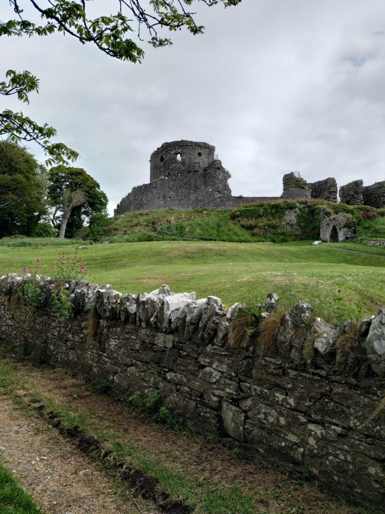
Dundrum Castle’s hilltop position is its best introduction. The climb above the village opens a view across the bay, while the circular keep and broken enclosures make the defensive layout easy to read.
Open place page →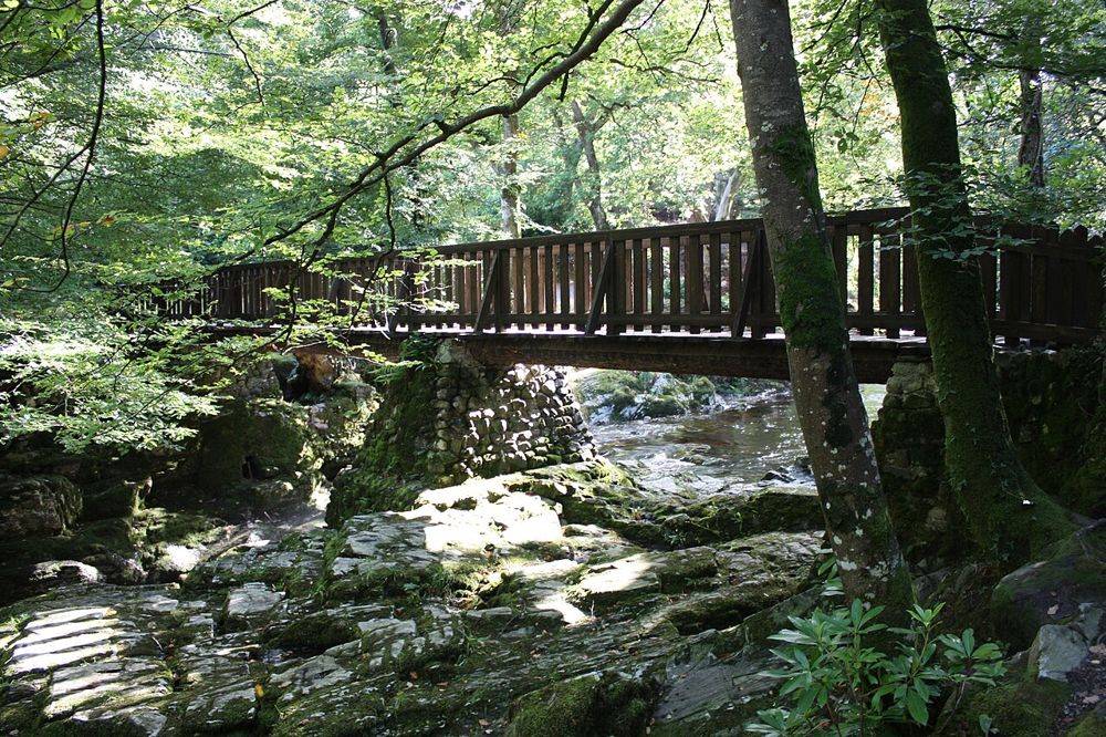
nature · 6.3 km
Tollymore is a forest with deliberate flourishes: stone bridges, unusual buildings and riverside paths sit beneath the trees. Those small built details make it more than a backdrop for a woodland photograph.
Open place page →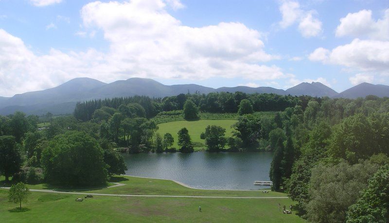
nature · 6.9 km
Castlewellan’s lake gives a forest outing a clear centre. You can shape a visit around water and trees without assuming everyone wants a strenuous hill day or an organised activity.
Open place page →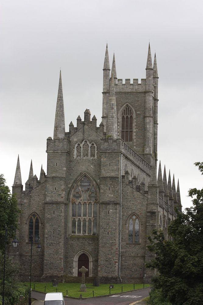
heritage · 12.5 km
Down Cathedral sits above Downpatrick, where the hill, churchyard and association with Saint Patrick create a quieter stop than a conventional museum visit. It remains a working place of worship.
Open place page →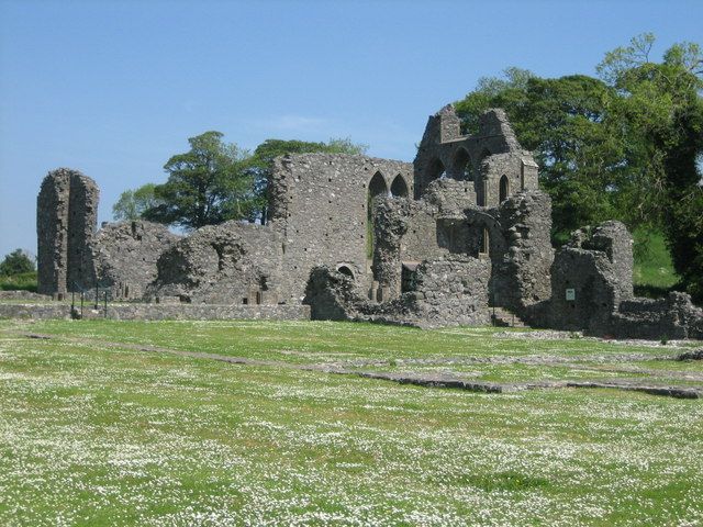
heritage · 13.3 km
Inch Abbey is an open-air ruin where the surviving church walls do much of the storytelling. The surrounding landscape helps you imagine a monastic precinct, provided you take time to read what remains.
Open place page →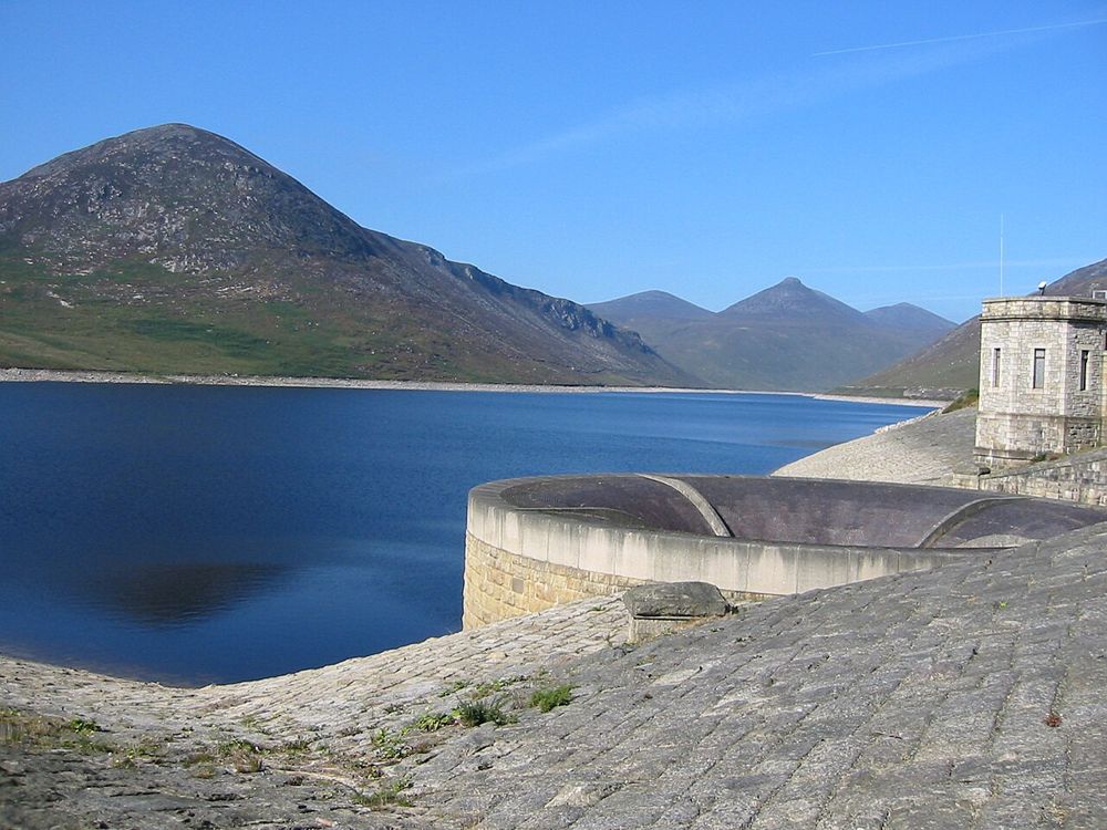
nature · 13.8 km
Silent Valley combines a mountain setting with an unmistakably engineered landscape. The reservoir’s straight edges and dam walls sit against the Mournes, making the water-supply story visible without needing…
Open place page →Public review excerpts praise the dune and beach walks. A separate account describes finding toilets locked and no café after paying to park. That is a useful reminder to check provision and bring essentials; it is not evidence of a continuing closure today.
Original paraphrases of public visitor accounts. These are limited perspectives, not a representative survey or a claim of our own visit. Use current operator information for access and opening.
Location & access
An exposed coastal reserve with sandy sections and route choices distinct from a guaranteed accessible beach approach.
54.24000, -5.84700 · Reference point; confirm the correct entrance and access. Map © OpenStreetMap contributors.
Source-based place brief. A catalogue reference is not a live availability check or a report of a personal visit.
Visitor details checked 19 October 2026. Page content updated 2026-10-20.
