Look at the landform
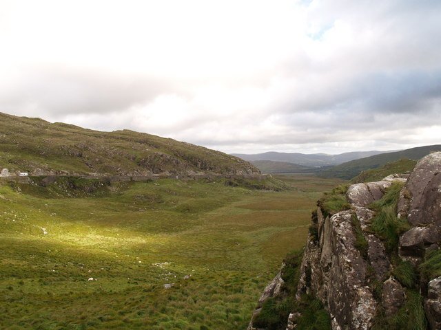
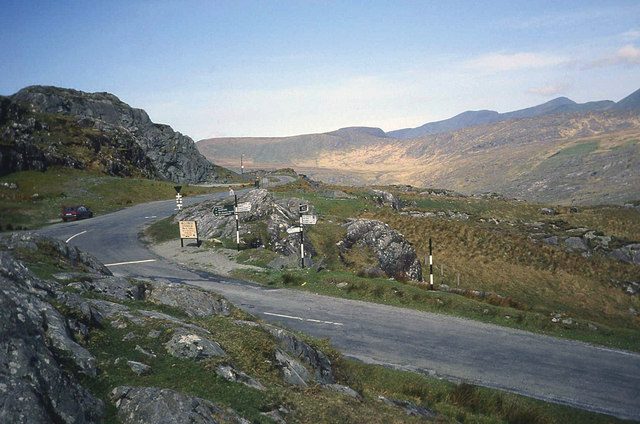
Notice the gap between the surrounding slopes and how the road uses it.
attraction · County Kerry
Choose Moll’s Gap when you want the scenic drive to include the shape of a mountain pass as well as lake views. Keep it a considered pause with a safe arrival, rather than an obligatory photograph beside a busy road.
Source-based editorial assessment · out of 10
The park’s geological guide identifies the pass and its sandstone landscape. The reward is in looking at the terrain as a landscape with a history, rather than treating the road as a fast connection between cafés.
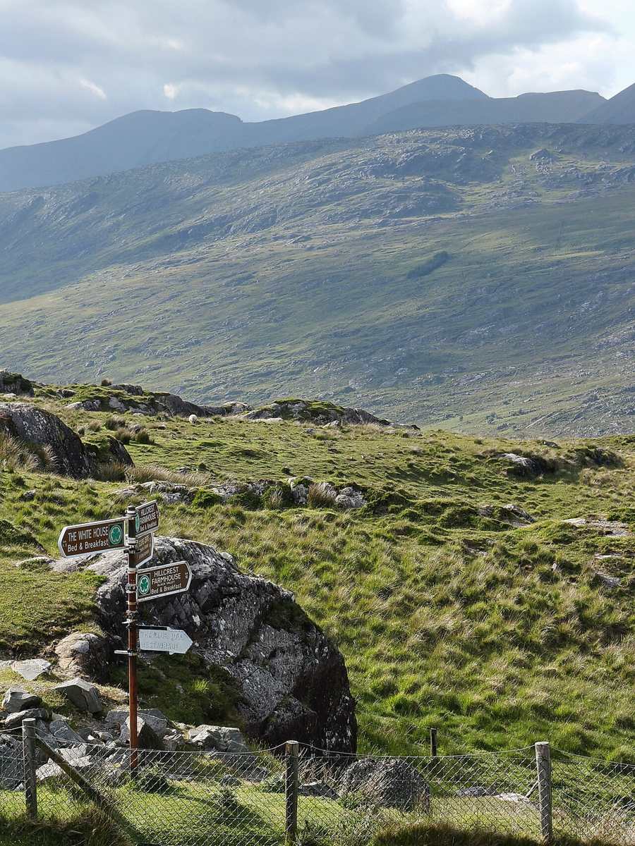
The road and junction area demand attention. Stop only where permitted and suitable; do not assume a commercial car park or facility is available independently of its current conditions. Reach the Moll’s Gap area via the signed road network. Identify a legal stopping place before leaving the vehicle, and avoid walking along the road to chase a map marker.
Best for: A mountain-pass perspective
Planning blend: 7.5 / 10 · Sustainability: unrated
Experience considers the reward and depth of this particular stop. Visitor friendliness considers practical ease: arrival, booking, physical demands, cost and flexibility. These are editorial judgements based on linked information, not visitor averages or a claim of a personal visit.
Assessed . Supporting guide source-check date: 2026-10-19. The assessment date does not mean every linked source was newly checked.
The blend uses (40 × Experience + 55 × Visitor friendliness) ÷ 95, rounded to the nearest half point. Missing sustainability does not affect it. A missing current visit score is not zero and has no blend.
A high score is not a safety clearance or a guarantee of step-free access. Food-stop scores concern the planned visit, not an untested meal. Read the scale and scope · Suggest a correction.
From research
The park’s geological guide identifies the pass and its sandstone landscape. The reward is in looking at the terrain as a landscape with a history, rather than treating the road as a fast connection between cafés.
Before you go: The road and junction area demand attention. Stop only where permitted and suitable; do not assume a commercial car park or facility is available independently of its current conditions.
Place highlights
Notice the gap between the surrounding slopes and how the road uses it.
Look without taking samples or entering unsafe roadside positions; use the park’s interpretation afterwards.
The story behind the visit
The NPWS geological trail uses the Killarney–Kenmare road to interpret the landscape, including Moll’s Gap. Its sandstone and glacial story gives a short roadside pause more purpose. You do not need to identify every rock to ask a useful question: why does the route pass here, and what shaped the slopes you can see? Source ↗
Treat the pass as weather-dependent. If visibility is poor or stopping is awkward, the landscape is still part of the drive without passengers having to get out. Follow the driver’s judgement and current signs. A short stop allowance is a planning suggestion, not a requirement to reach a particular point on foot or to shop at a particular business. Source ↗
Dated visitor information
Use current road signs and designated legal parking; the historical geology map is not live traffic advice. Official visitor information ↗
Source information checked 19 October 2026; confirm current access and visitor arrangements with the operator.
No. It is a driving-day viewpoint and landscape stop. A hike requires a separately assessed route. Source ↗
No. The assessment concerns the landscape visit, not an untested commercial venue. Source ↗
Only if current signs, the actual road and legal parking permit it. The pin is approximate, not a parking instruction. Source ↗
Nearby options
Distances are straight-line estimates between catalogue pins, within 30 km. Roads, entrances and walking routes may be much longer. Known closed places are excluded; inclusion does not confirm opening today.
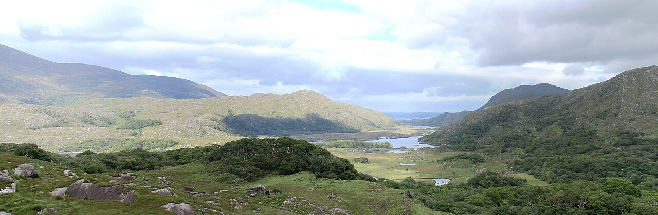
attraction · 5.4 km
Choose this viewpoint for the broader relationship between water, wooded slopes and mountains. It is a scenic pause on a driving day, not a substitute for walking inside the park.
Open place page →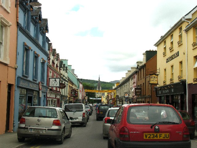
attraction · 8.2 km
Choose Kenmare as the unhurried town portion of a scenic drive: park legally, have time to explore and decide whether a meal fits before the return. It is a destination in its own right, not merely a turning…
Open place page →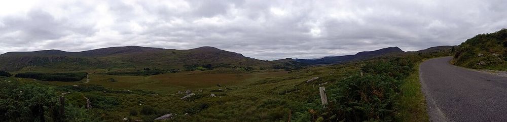
nature · 9.2 km
The Gap of Dunloe is most convincing at walking pace. Lakes keep appearing between the mountains, and small bridges make the changing scale easier to notice than from behind a windscreen. Decide how far you…
Open place page →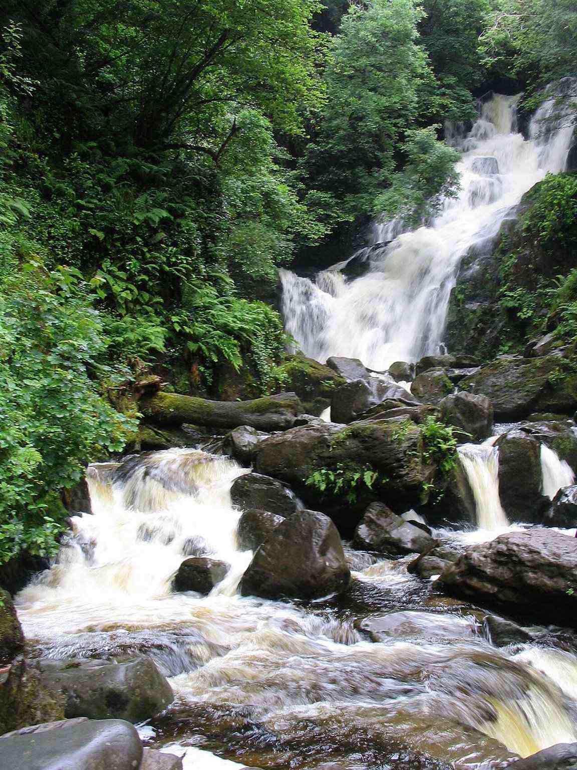
attraction · 12.6 km
Choose Torc for falling water and woodland atmosphere, with the option to keep the outing modest. A waterfall stop, a longer woodland circuit and a Torc Mountain summit walk are three different decisions.
Open place page →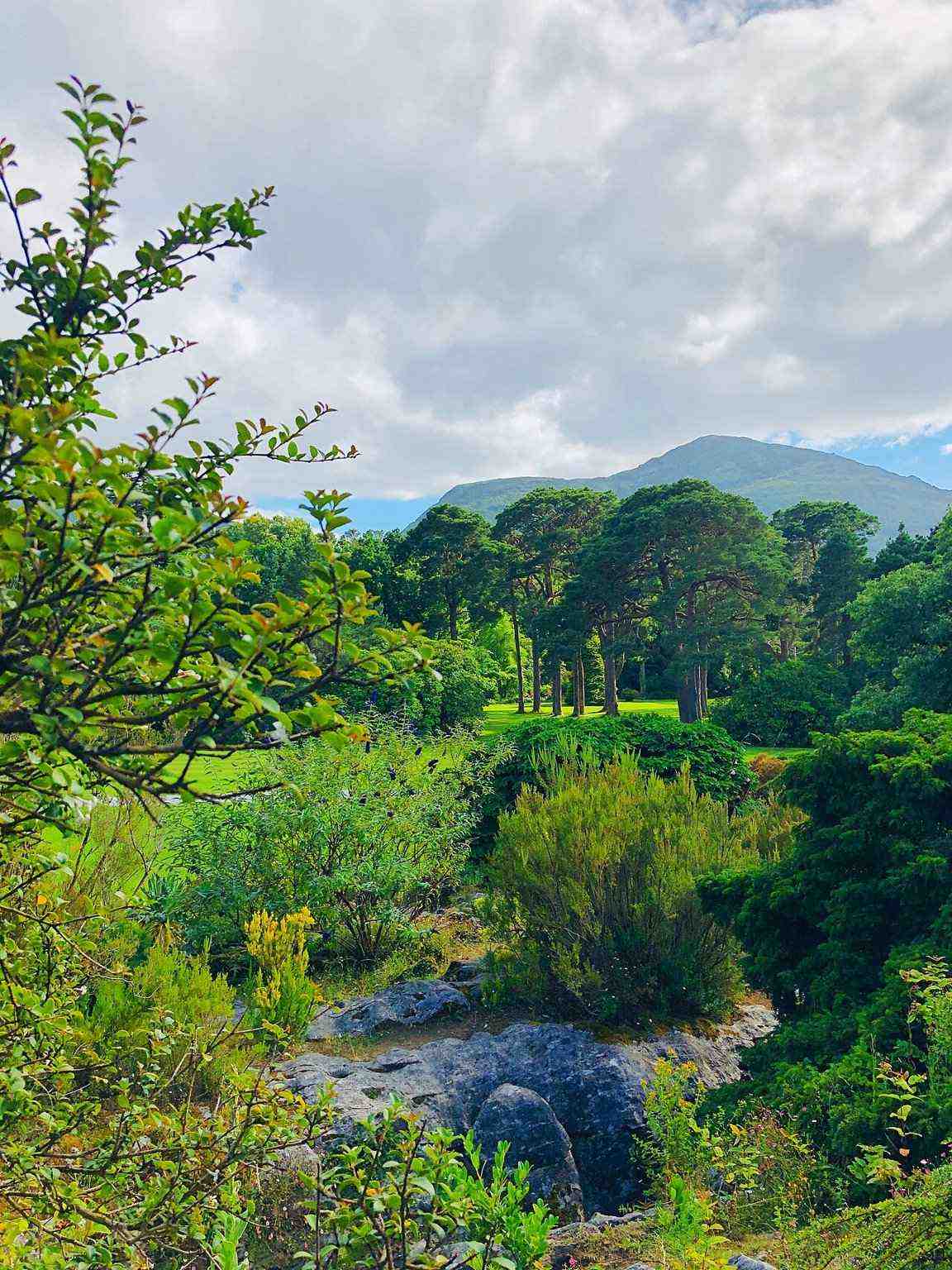
attraction · 13.8 km
Take the gardens as a visit of their own, especially if you prefer plants, paths and time outside to another interior. Let the house provide context without making a paid house ticket the purpose of the whole…
Open place page →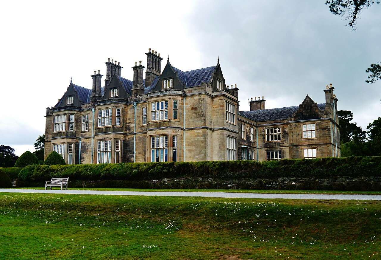
attraction · 13.9 km
Visit the house if you want a closer look at the domestic world behind the estate landscape. Choose it deliberately: the interior is a ticketed visit, while the gardens are a separate outdoor experience.
Open place page →Public excerpts appreciate the mountain pass but one visitor preferred nearby Ladies View as a place to stop. That is a useful distinction: Moll’s Gap can be part of a scenic journey without becoming a compulsory extra attraction. Do not assume a café reference establishes public parking or current opening.
Original paraphrases of public visitor accounts. These are limited perspectives, not a representative survey or a claim of our own visit. Use current operator information for access and opening.
Location & access
Suggested visit allowance: about 25 minutes. Allow additional time for transfers and breaks.
51.93890, -9.65760 · Reference point; confirm the correct entrance and access. Map © OpenStreetMap contributors.
Source-based place brief. A catalogue reference is not a live availability check or a report of a personal visit.
Visitor details checked 19 October 2026. Page content updated 2026-10-20.