Buildings at human scale
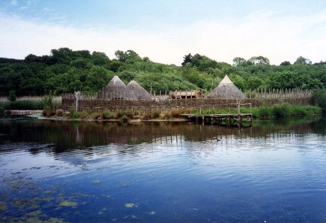
Moving between reconstructed dwellings and settlement spaces helps make early Irish life less abstract. Pay attention to materials and the different demands each structure was built to meet.
attraction · Wexford
The Heritage Park is a walk through reconstructed buildings and landscapes, with enough space between them for the changes in time to register. It works particularly well when Irish archaeology has begun to blur into a list of dates. A dwelling, enclosure or working space gives those dates something you can actually picture.
Source-based editorial assessment · out of 10
Moving between reconstructed dwellings and settlement spaces helps make early Irish life less abstract. Pay attention to materials and the different demands each structure was built to meet.
Bring weather layers and footwear suited to an extended outdoor walk. Ask the park about the specific route if mobility or buggy access affects your visit.
Best for: Choose it for a family or history day rather than a quick museum dash.
Planning blend: 7.5 / 10 · Sustainability: unrated
Experience considers the reward and depth of this particular stop. Visitor friendliness considers practical ease: arrival, booking, physical demands, cost and flexibility. These are editorial judgements based on linked information, not visitor averages or a claim of a personal visit.
Assessed . Supporting guide source-check date: 2026-10-19. The assessment date does not mean every linked source was newly checked.
The blend uses (40 × Experience + 55 × Visitor friendliness) ÷ 95, rounded to the nearest half point. Missing sustainability does not affect it. A missing current visit score is not zero and has no blend.
A high score is not a safety clearance or a guarantee of step-free access. Food-stop scores concern the planned visit, not an untested meal. Read the scale and scope · Suggest a correction.
From research
Choose it for a family or history day rather than a quick museum dash. A guided visit is a sensible choice if you want the reconstructions explained. If your priority is an original surviving monument, give Tintern or Ferns a separate place in the plan.
Know before you book: Much of the experience is outdoors, spread through woodland and beside water. Rainwear matters more than an assumption that a visitor centre makes it an indoor attraction. Reconstructions demonstrate interpretations of the past; they are not excavated buildings left untouched.
Place highlights
Moving between reconstructed dwellings and settlement spaces helps make early Irish life less abstract. Pay attention to materials and the different demands each structure was built to meet.
Follow the sequence rather than selecting only the most photogenic buildings. The value lies in noticing changes in how people built, worked and organised a settlement.
The story behind the visit
The park interprets successive periods of Ireland’s past through full-size reconstructions. It is a teaching landscape rather than a single preserved historic village, which is why context from a guide can matter as much as the structures. Source ↗
Dated visitor information
The park is at Ferrycarrig, west of Wexford town. Navigate to its signed visitor entrance rather than to Ferrycarrig village generally, and confirm your onward transport before leaving town. Official visitor information ↗
Source information checked 19 October 2026; confirm current access and visitor arrangements with the operator.
The visitor route uses reconstructions to explain different periods. That distinction is part of understanding the place. Source ↗
It is a good choice when you want the reasons behind the structures; check the available departures directly. Source ↗
Nearby options
Distances are straight-line estimates between catalogue pins, within 30 km. Roads, entrances and walking routes may be much longer. Known closed places are excluded; inclusion does not confirm opening today.
heritage · 3.9 km
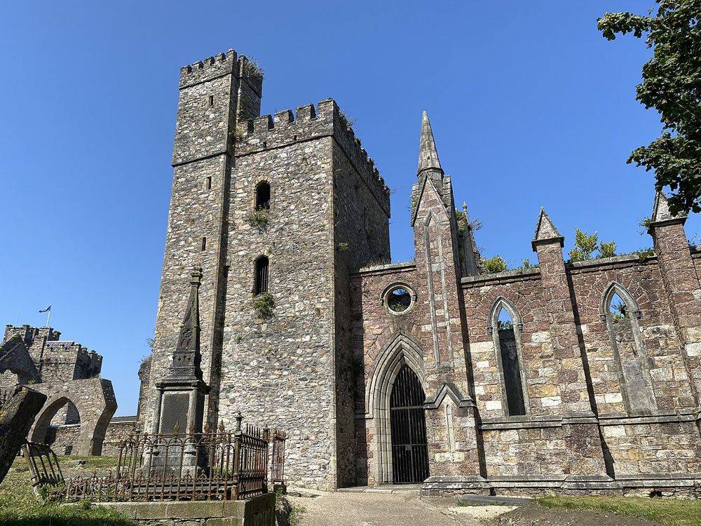
Selskar is a rewarding interruption to a Wexford town walk because the ruins sit inside the modern street pattern. It is not a large countryside abbey: the interest is in finding the medieval town beneath…
Open place page →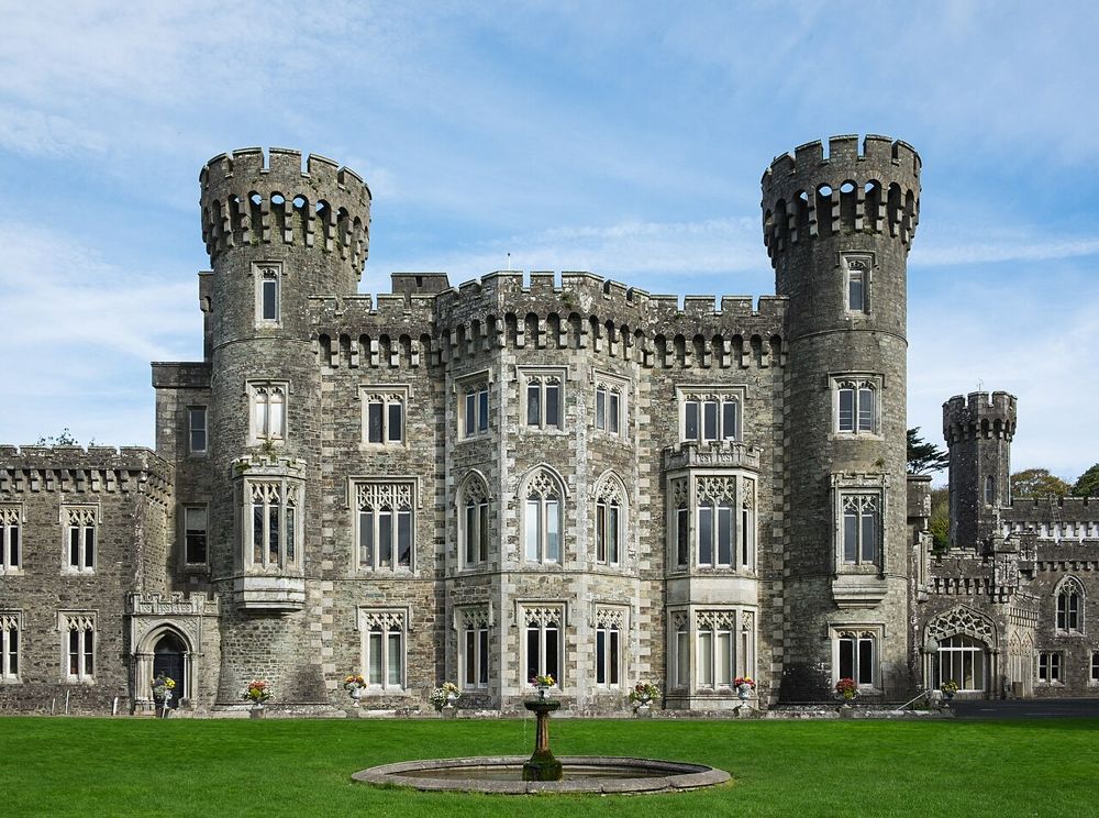
heritage · 6.4 km
Johnstown is easiest to enjoy as an estate day with several choices, rather than simply a castle ticket. The Gothic house provides the image, but lakeside paths and the agricultural museum give the visit a…
Open place page →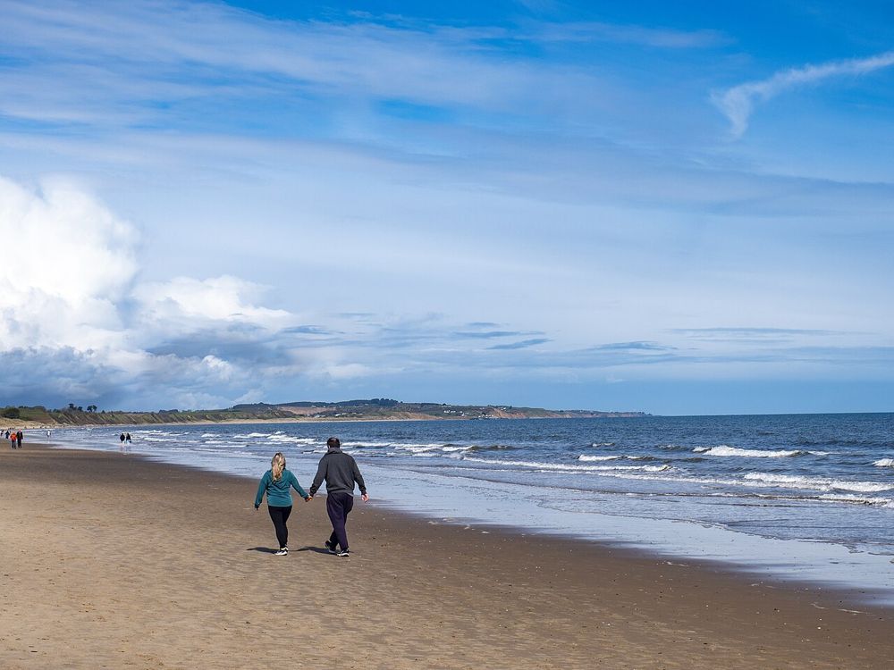
coast · 11.4 km
Curracloe is about room to walk: a broad sandy shore backed by dunes, with the Raven woodland nearby if you want a change from open sea. The film connection may explain the name recognition, but the everyday…
Open place page →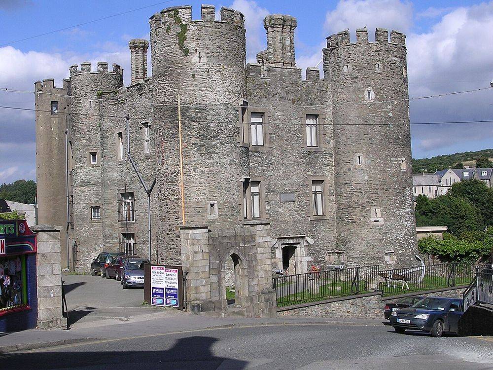
heritage · 17.2 km
Enniscorthy Castle is a town-centre building with several lives, not simply an empty medieval keep. Its exhibitions make sense when you are interested in the town as well as the defensive shell. Look outside…
Open place page →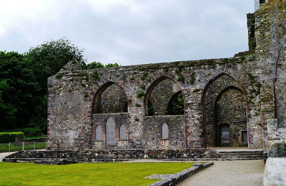
heritage · 25.0 km
Tintern rewards a slower Hook Peninsula day: pale stone, a substantial ruined abbey and woodland around it instead of a roadside monument photographed through a fence. The building carries more than one…
Open place page →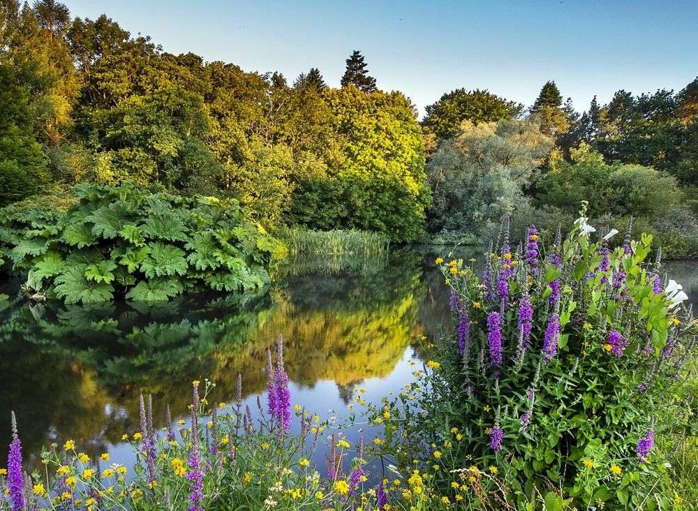
nature · 28.0 km
The Kennedy connection may bring you here, but the trees are the reason to linger. This is a large planted landscape where an unhurried walk makes more sense than hunting for one signature photograph. Pick a…
Open place page →Public review excerpts describe an engaging history visit, but one visitor wanted clearer mapping of the surrounding Norman story. Use the park to understand the chronology, then connect it with actual regional sites rather than expecting it to explain every local monument.
Original paraphrases of public visitor accounts. These are limited perspectives, not a representative survey or a claim of our own visit. Use current operator information for access and opening.
Location & access
Much of the experience is outdoors, spread through woodland and beside water. Rainwear matters more than an assumption that a visitor centre makes it an indoor attraction. Reconstructions demonstrate interpretations of the past; they are not excavated buildings left untouched.
52.34950, -6.52170 · Reference point; confirm the correct entrance and access. Map © OpenStreetMap contributors.
Source-based place brief. A catalogue reference is not a live availability check or a report of a personal visit.
Visitor details checked 19 October 2026. Page content updated 2026-10-20.