Stone-walled lanes
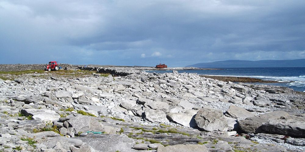
The pattern of small fields and lanes is as memorable as an individual monument. Stay on public access and give island residents room to carry on with daily life.
coast · Galway
Inis Oírr is the smallest Aran Island, but a small island is not the same as an effortless checklist. Stone-walled lanes, the harbour-side settlement and the Plassey wreck draw people in different directions. Decide what matters before leaving the pier so you can enjoy the space between places rather than watching the time all afternoon.
Source-based editorial assessment · out of 10
Choose Inis Oírr for a walkable island outing with a living Irish-speaking community. It suits a slower day more than a plan that combines every island sight with a separate cliff cruise on a short landing.
Crossings, weather and the return sailing shape the visit. Walking, bicycle hire and locally arranged tours are different options, not guaranteed inclusions in every ferry ticket.
Best for: Stone-walled lanes
Planning blend: 7.5 / 10 · Sustainability: unrated
Experience considers the reward and depth of this particular stop. Visitor friendliness considers practical ease: arrival, booking, physical demands, cost and flexibility. These are editorial judgements based on linked information, not visitor averages or a claim of a personal visit.
Assessed . Supporting guide source-check date: 2026-10-19. The assessment date does not mean every linked source was newly checked.
The blend uses (40 × Experience + 55 × Visitor friendliness) ÷ 95, rounded to the nearest half point. Missing sustainability does not affect it. A missing current visit score is not zero and has no blend.
A high score is not a safety clearance or a guarantee of step-free access. Food-stop scores concern the planned visit, not an untested meal. Read the scale and scope · Suggest a correction.
From research
Choose Inis Oírr for a walkable island outing with a living Irish-speaking community. It suits a slower day more than a plan that combines every island sight with a separate cliff cruise on a short landing.
Know before you book: Crossings, weather and the return sailing shape the visit. Walking, bicycle hire and locally arranged tours are different options, not guaranteed inclusions in every ferry ticket.
Place highlights
The pattern of small fields and lanes is as memorable as an individual monument. Stay on public access and give island residents room to carry on with daily life.
See the wreck from permitted viewing areas rather than climbing or entering it. Its presence on the shore is a historical sight, not a managed adventure structure.
The story behind the visit
Inis Oírr belongs to the Aran Islands in County Galway despite the short crossing from the Clare coast. Its archaeology, maritime stories and continuing Irish-language life belong together; the island is more than a backdrop for a ferry excursion. Source ↗
Dated visitor information
Arrive at the departure harbour stated on your ticket and confirm the return arrangement before setting out on the island. The approximate pin is an orientation point, not the location of every sight. Official visitor information ↗
Source information checked 19 October 2026; confirm current access and visitor arrangements with the operator.
That depends on your pace and ferry window. Choose a smaller route rather than assuming the island’s size makes all stops quick. Source ↗
It is part of the Aran Islands in County Galway, even when the ferry journey begins at Doolin in Clare. Source ↗
Nearby options
Distances are straight-line estimates between catalogue pins, within 30 km. Roads, entrances and walking routes may be much longer. Known closed places are excluded; inclusion does not confirm opening today.
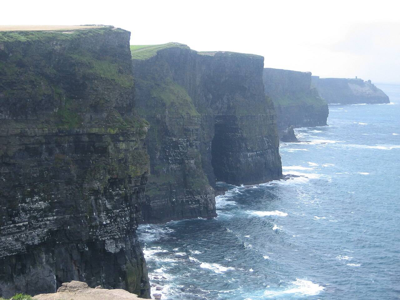
coast · 12.1 km
The Cliffs of Moher are best planned around the managed visitor site and the paths actually open on the day, with time to look rather than a promise of a through-hike.
Open place page →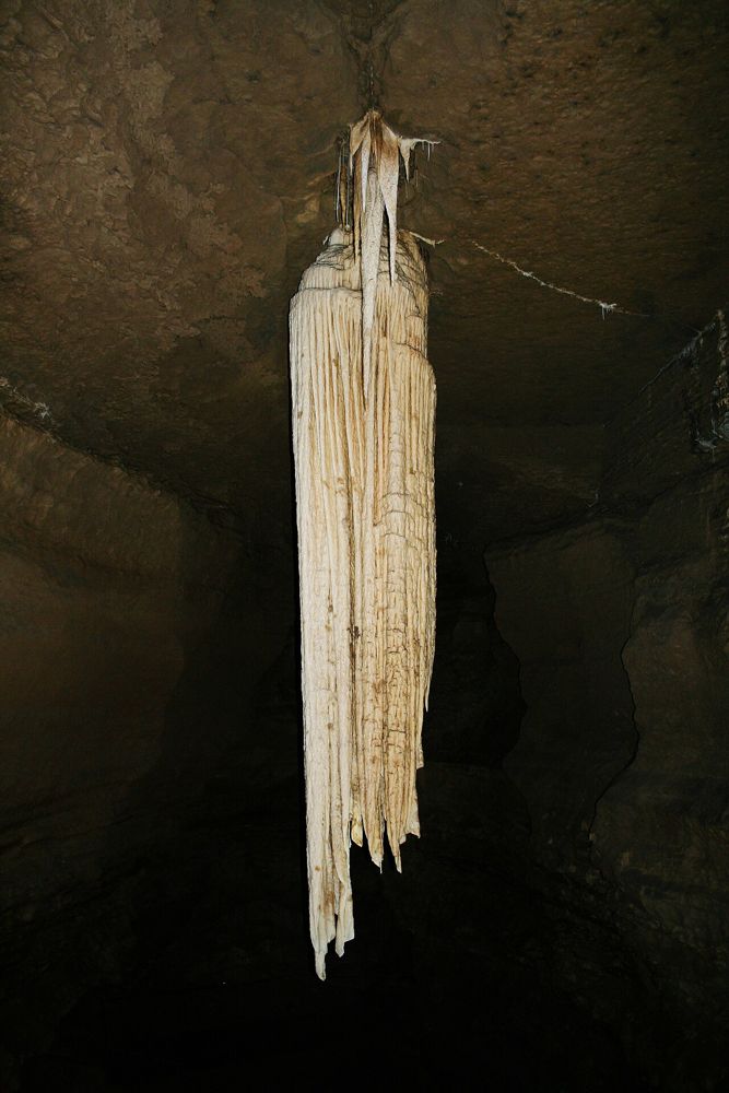
attraction · 12.6 km
Doolin Cave builds its visit around a single geological object: a huge free-hanging stalactite in an underground chamber. The reward comes from seeing its scale after the descent, not from covering miles of…
Open place page →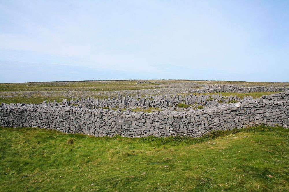
heritage · 17.3 km
Dún Aonghasa is an ancient stone fort with an unusually abrupt boundary: one side ends at a sea cliff. The walk up from the visitor centre lets its walls emerge gradually above the limestone. Once there, the…
Open place page →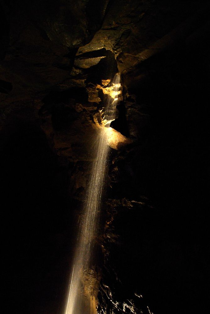
attraction · 26.1 km
Aillwee takes you beneath the Burren rather than asking you to interpret limestone from the roadside. A guided cave visit gives shape to the hidden drainage and slow formation of this landscape. Above ground,…
Open place page →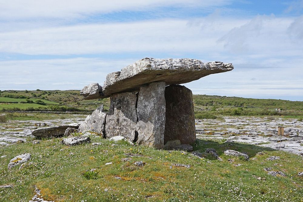
heritage · 26.2 km
Poulnabrone is small enough to be rushed and old enough to deserve better. The tilted capstone stands above a rough limestone plateau, with very little competing for your attention. After the familiar…
Open place page →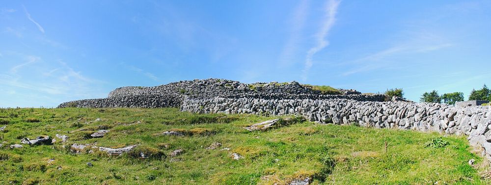
heritage · 26.2 km
Caherconnell makes a useful bridge between the Burren’s archaeology and its working farms. The stone fort asks you to imagine how a household occupied the landscape; the sheepdog demonstration shows skill and…
Open place page →Accessible accounts contrast an enjoyable walk with a visitor who underestimated the time needed before a cliff-cruise departure. Another describes heavy rain pushing people into limited shelter. Those are useful reasons to keep the landing plan modest and weather-aware, rather than promises about every sailing.
Original paraphrases of public visitor accounts. These are limited perspectives, not a representative survey or a claim of our own visit. Use current operator information for access and opening.
Location & access
Crossings, weather and the return sailing shape the visit. Walking, bicycle hire and locally arranged tours are different options, not guaranteed inclusions in every ferry ticket.
53.06030, -9.53100 · Reference point; confirm the correct entrance and access. Map © OpenStreetMap contributors.
Source-based place brief. A catalogue reference is not a live availability check or a report of a personal visit.
Visitor details checked 19 October 2026. Page content updated 2026-10-20.