Rocky position
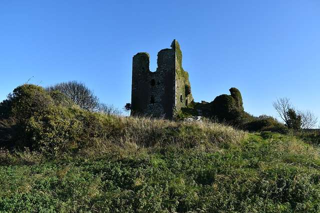
Begin by noticing how the surviving tower sits on the outcrop above the valley. Its position explains both the defensive value and the dramatic appearance, making the landscape part of the interpretation rather than just a background.

heritage · Waterford
Dunhill Castle occupies a rocky height above the Anne Valley, where the surviving tower fragment gains much of its impact from the landscape below. It offers a more rugged heritage stop than the valley path itself. The current geopark guide describes a grass-trail approach, with care needed around unfenced ruins and uneven ground.
From research
Choose it for an architectural detour with a strong sense of position, provided you are comfortable with a rough approach. It can complement an Anne Valley outing, but castle access is a separate decision. The easier valley trail does not establish the conditions to the ruin.
Know before you book: The ruins are unfenced, and the grass approach can be slippery. The geopark warns that children need close supervision; stay away from unstable masonry and exposed edges.
Place highlights
Begin by noticing how the surviving tower sits on the outcrop above the valley. Its position explains both the defensive value and the dramatic appearance, making the landscape part of the interpretation rather than just a background.
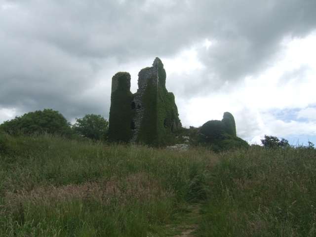
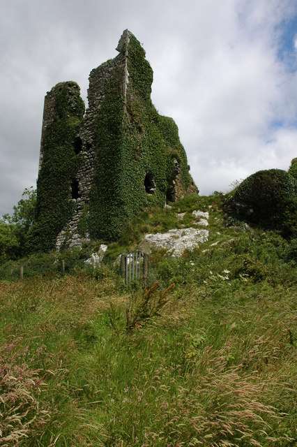
Only part of the castle remains, so look for changes between the standing tower and lower wall traces. The fragmentary form is the result of destruction and later collapse, not an accurate outline of the building at the height of its use.
Look towards the valley route to understand how the castle relates to the surrounding terrain. If combining the visits, allow extra time and energy for the grass approach, keeping the return journey and daylight separate from the main trail’s stated distance.
The story behind the visit
The Copper Coast Geopark identifies an early thirteenth-century defensive complex with a later tower, only part of which survives. The castle was associated with the Power family and formed part of a regional history of competing control and conflict. Its rocky setting remains the clearest starting point for understanding why a fortified residence belonged here. Source ↗
The ruin continued to change long after military use ended. The geopark records further deterioration, including a major wall collapse during a storm in 1912. That history makes the present fragment a product of both human conflict and exposure to weather. A visitor should read the silhouette carefully while respecting its instability: the ability to reach the outcrop does not make its walls, drops or interior a safe place to climb or play. The setting is impressive precisely because it is exposed, and the same qualities that make a strong silhouette also require restraint around the surviving walls and edges. Source ↗
Visitor information
Use the signed castle approach near Dunhill. Keep the rougher grass ascent distinct from the Anne Valley walking route. Official visitor information ↗
Confirm current access and visitor arrangements with the operator.
No. The geopark describes a grass approach to the ruin. Source ↗
No. The geopark specifically warns about unfenced ruins and the need for supervision. Source ↗
Nearby options
Explore other places in the area, then use live directions to plan your journey.
attraction
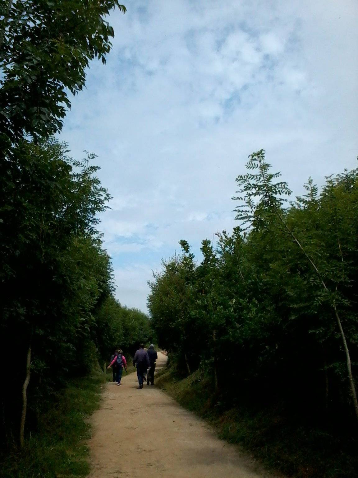
The Annestown end of the Ann Valley walk changes the Copper Coast day from exposed shoreline to a river corridor with woodland and wetland.
Open place page →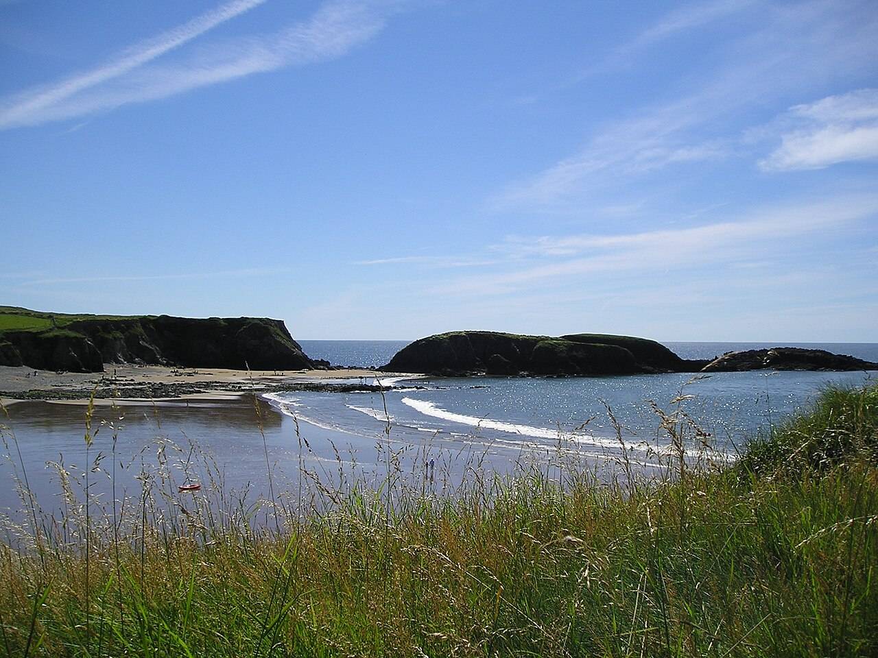
coast
Annestown brings a small village, a river mouth and a beach into the same view. It works as a quiet shoreline pause or as the coastal end of a separately planned valley walk.
Open place page →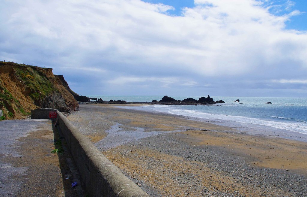
coast
Kilfarrasy is a compact coastal geology stop where the rock, shingle and enclosing shoreline matter more than a list of facilities.
Open place page →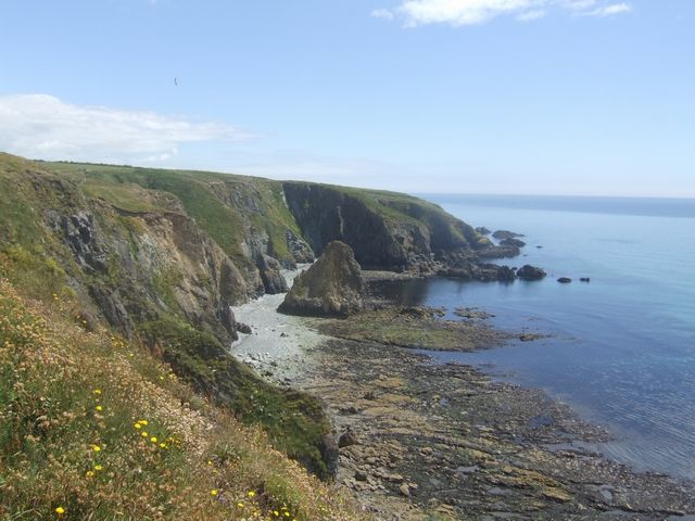
coast
Kilmurrin is a small cove framed by headlands, useful when you want to stop, look and linger without turning the whole day into a long walk.
Open place page →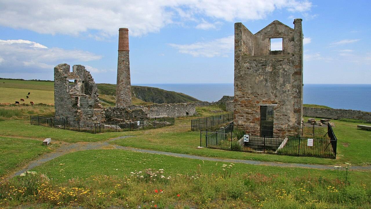
heritage
Tankardstown gives the Copper Coast its clearest industrial stop: the surviving engine-house structures make the mining story tangible above ground.
Open place page →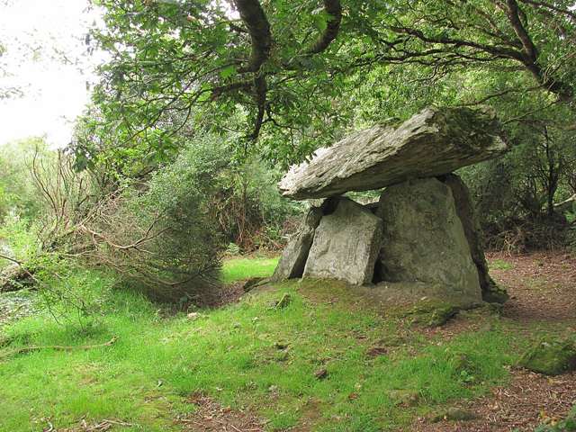
heritage
Gaulstown Dolmen is a substantial prehistoric portal tomb near Butlerstown in County Waterford. Its capstone and supporting stones reward a careful look at construction and scale. The approach crosses private…
Open place page →Location & access
The ruins are unfenced, and the grass approach can be slippery. The geopark warns that children need close supervision; stay away from unstable masonry and exposed edges.
52.15738, -7.26330 · Reference point; confirm the correct entrance and access. Map © OpenStreetMap contributors.
Orientation only: a verified public entrance is not established by this pin. Use the operator arrival information before travel.