Skip to content
TheLazyNick

heritage · Waterford

Gaulstown Dolmen

Gaulstown Dolmen is a substantial prehistoric portal tomb near Butlerstown in County Waterford. Its capstone and supporting stones reward a careful look at construction and scale. The approach crosses private property: use only the geopark’s published route, subject to current owner notices.

Add to planSaved trips & places

Saved on this browser. No account needed.

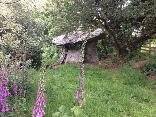
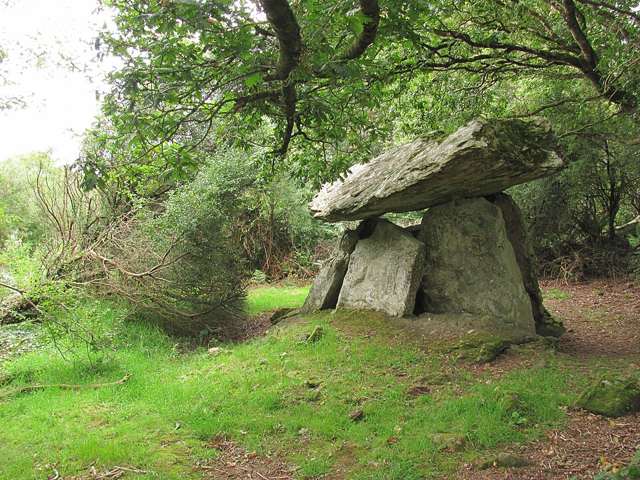
Gaulstown Dolmen in its wooded setting
Gaulstown Dolmen in its wooded setting. Resized for display. Photo: RTG ↗ · CC BY-SA 4.0

From research

Is this worth your time?

Choose it for a focused archaeological stop rather than a long managed-attraction visit. The scale of the stonework is the main draw, with local geology adding another way into the story. Plan the approach carefully and be ready to turn back if the landowner’s current instructions restrict access.

Know before you book: The geopark explicitly says access is through private property used by farms and residences. This is not a general right to roam; use the published approach and obey signs, gates and any restriction on the day.

Place highlights

What you will actually see

01

Capstone and supports

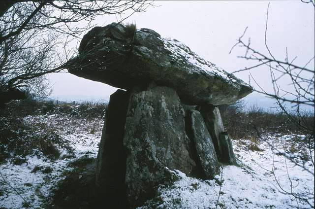
Look at the relationship between the large capstone and upright stones from the permitted ground. The monument’s engineering becomes clearer when you compare the different elements, without touching, climbing or entering any unstable-looking part of the structure.

02

Volcanic building material

The geopark identifies locally quarried volcanic rock as the material used here. That adds a geological dimension to the archaeological visit, connecting the tomb with its surrounding landscape rather than imagining the stones arrived without a local context.

03

Careful approach

Treat the lane and entrance as shared working access, not an attraction-only forecourt. Keep clear of farm machinery, residential access and gateways. The visit begins with respecting the people whose property provides the published route to the monument.

The story behind the visit

The story behind the place

The geopark identifies Gaulstown as a Neolithic portal tomb, dating broadly to the fourth millennium BC. The surviving stone arrangement belongs to a prehistoric funerary tradition rather than a later castle or ringfort. Its impressive capstone is the clearest visual feature, while the use of local volcanic rock links the monument with the geology of the surrounding area. Source ↗

Gaulstown also has a place in the history of recording Ireland’s monuments: the geopark credits geologist and artist George Du Noyer with an early documented encounter while mapping the area. That connection joins archaeological and geological observation. The present visitor must be equally attentive to context, including the published private-property approach. A named monument and a map pin do not grant permission to cross surrounding fields or ignore the landowner’s current conditions. Respecting those conditions protects the relationship that allows the published approach to function; the archaeological interest does not override present-day ownership or working access. Source ↗

Visitor information

Tickets, timing and access

Opening
Unguided outdoor monument: visit in daylight and follow current local notices.Confirm with the operator ↗
Admission
No ticketed visitor facility is described. Access remains subject to the published route and current property conditions.Confirm with the operator ↗
Booking
No regular guided departure is advertised. Arrange organised group or specialist visits separately.Confirm with the operator ↗
Access
Use only the published approach through private property. Do not continue if current owner notices restrict access; watch for farm machinery.Confirm with the operator ↗
Duration
Allow 30–45 minutes, depending on conditions and interest.Confirm with the operator ↗
Seasonal
Exposed outdoor remains can be wet or slippery. Short winter daylight calls for a flexible plan.Confirm with the operator ↗

Getting to the entrance

The site is near Gaulstown, Butlerstown. The geopark warns not to park between the gates and walled enclosure or obstruct farm and residential access. Official visitor information ↗

Your questions, answered

Confirm current access and visitor arrangements with the operator.

Does the guide establish a public right of way?

No. The geopark says the approach crosses private property; current owner restrictions must be followed. Source ↗

Can I park in front of the entrance gates?

No. The geopark specifically warns against parking between the gates and walled enclosure. Source ↗

Nearby options

Nearby places to explore

Explore other places in the area, then use live directions to plan your journey.

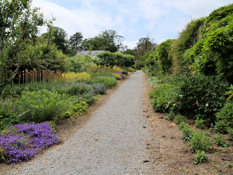
Planting borders and a path in Mount Congreve’s walled garden
The walled garden at Mount Congreve in June 2018. Photo: David Dixon ↗ · CC BY-SA 2.0

nature

Mount Congreve Gardens

Mount Congreve is a garden visit with room to slow down, rather than a quick photograph beside a country house. Woodland planting and the more enclosed walled garden create different scales of experience.…

Open place page →
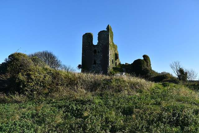
The ruined tower of Dunhill Castle against a clear sky
The ruined tower of Dunhill Castle against a clear sky. Resized for display. Photo: JulienWittenberg ↗ · CC BY-SA 4.0

heritage

Dunhill Castle

Dunhill Castle occupies a rocky height above the Anne Valley, where the surviving tower fragment gains much of its impact from the landscape below. It offers a more rugged heritage stop than the valley path…

Open place page →
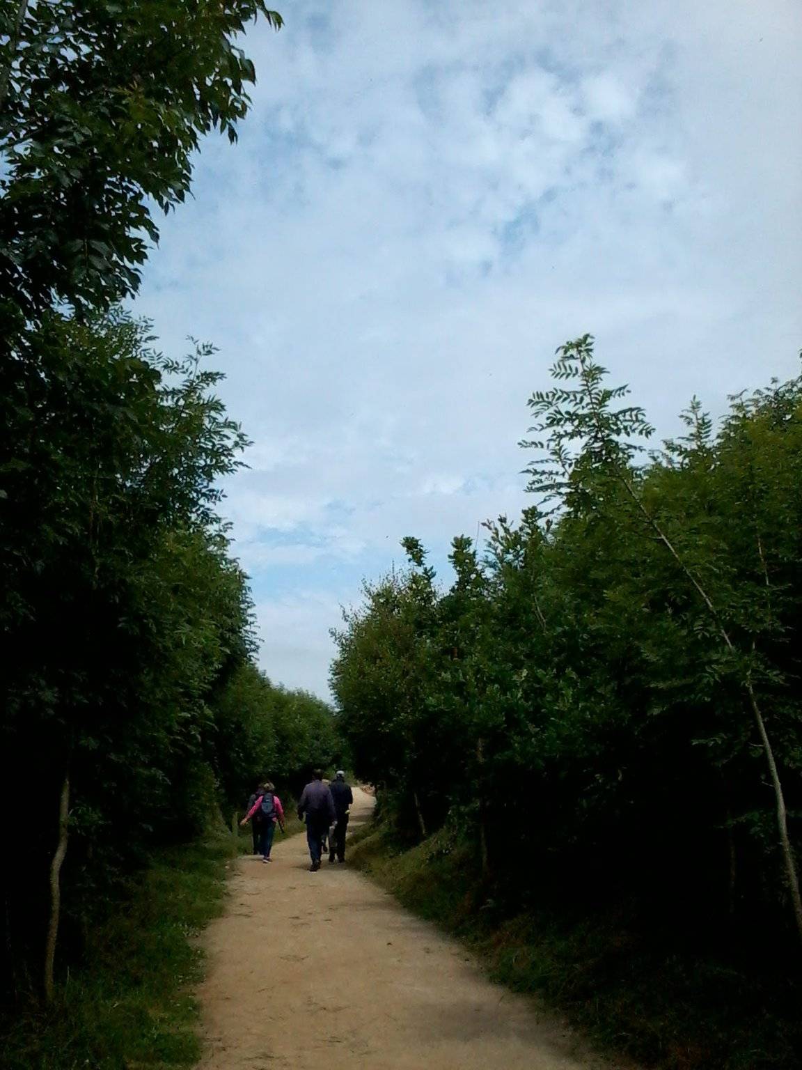
A section of the Anne Valley walk
A section of the Anne Valley walk. This photograph does not identify the Annestown entrance or establish current trail conditions. Photo: RTG ↗ · CC BY-SA 4.0

attraction

Ann Valley Walk, Annestown end

The Annestown end of the Ann Valley walk changes the Copper Coast day from exposed shoreline to a river corridor with woodland and wetland.

Open place page →
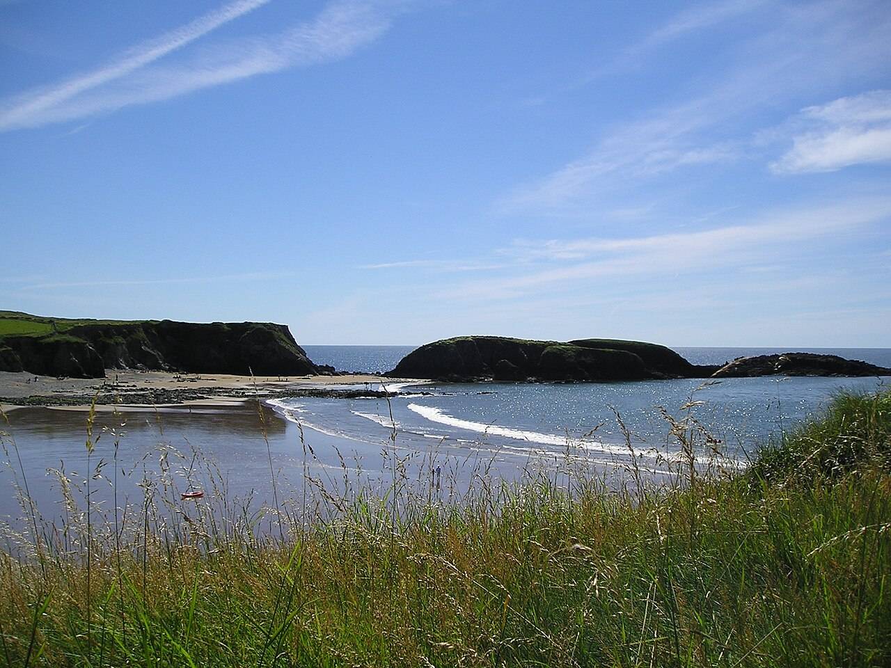
Annestown beach and cove
Annestown beach and cove. Source photograph; current access and conditions may differ. Photo: ebosman ↗ · CC BY-SA 2.0

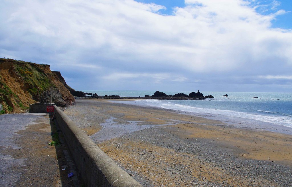
coast

Annestown Beach

Annestown brings a small village, a river mouth and a beach into the same view. It works as a quiet shoreline pause or as the coastal end of a separately planned valley walk.

Open place page →

External visitor reviews

Find the matching listing and reviews on Google Maps ↗

Part of a bigger journey

Location & access

Getting your bearings

The geopark explicitly says access is through private property used by farms and residences. This is not a general right to roam; use the published approach and obey signs, gates and any restriction on the day.

52.20575, -7.21066 · Reference point; confirm the correct entrance and access. Map © OpenStreetMap contributors.

Orientation only: a verified public entrance is not established by this pin. Use the operator arrival information before travel.

Sources & place context

Browse more Ireland places →