Dún Briste sea stack
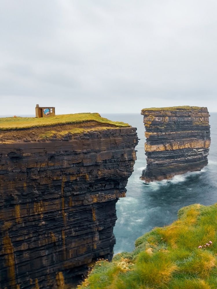
View the detached stack from a safe permitted position. Its layered rock is part of the interest, so there is no need to chase an angle closer to the edge.
coast · Mayo
Downpatrick Head’s detached sea stack, Dún Briste, is the obvious draw, but the headland is more than a platform for one photograph. The open turf, layers of cliff and sound of water below make the coastline’s scale tangible. Give the viewing area time and keep the visit comfortably within the signed access.
Source-based editorial assessment · out of 10
Choose it as a main coastal stop in north Mayo, especially alongside Céide Fields. It is most rewarding when visibility lets you read the stack and cliffs; wild weather does not automatically make a better visit.
This is an exposed coastal headland. The approximate pin is not a safe cliff-edge position, and a short approach does not remove hazards from wind or unstable ground.
Best for: Dún Briste sea stack
Planning blend: 7.5 / 10 · Sustainability: unrated
Experience considers the reward and depth of this particular stop. Visitor friendliness considers practical ease: arrival, booking, physical demands, cost and flexibility. These are editorial judgements based on linked information, not visitor averages or a claim of a personal visit.
Assessed . Supporting guide source-check date: 2026-10-19. The assessment date does not mean every linked source was newly checked.
The blend uses (40 × Experience + 55 × Visitor friendliness) ÷ 95, rounded to the nearest half point. Missing sustainability does not affect it. A missing current visit score is not zero and has no blend.
A high score is not a safety clearance or a guarantee of step-free access. Food-stop scores concern the planned visit, not an untested meal. Read the scale and scope · Suggest a correction.
From research
Choose it as a main coastal stop in north Mayo, especially alongside Céide Fields. It is most rewarding when visibility lets you read the stack and cliffs; wild weather does not automatically make a better visit.
Know before you book: This is an exposed coastal headland. The approximate pin is not a safe cliff-edge position, and a short approach does not remove hazards from wind or unstable ground.
Place highlights
View the detached stack from a safe permitted position. Its layered rock is part of the interest, so there is no need to chase an angle closer to the edge.
Look for the interpretation of the site’s religious and more recent history. It gives a useful second focus when the stack has already filled your camera roll.
The story behind the visit
The sea stack illustrates erosion at the coast, while the headland’s association with St Patrick gives it a separate cultural story. Keep geological explanation and legend distinct; both can enrich the visit without being presented as the same kind of evidence. Source ↗
Dated visitor information
Approach via signed roads north of Ballycastle and use the designated car park. Walk only on permitted visitor access; do not navigate a vehicle to the headland coordinates. Official visitor information ↗
Source information checked 19 October 2026; confirm current access and visitor arrangements with the operator.
No. It is a detached sea stack offshore. The visitor experience is a view from the mainland headland. Source ↗
Yes. Visibility affects how well the coastline can be seen, while wind and ground conditions affect whether an exposed visit is sensible. Source ↗
Nearby options
Distances are straight-line estimates between catalogue pins, within 30 km. Roads, entrances and walking routes may be much longer. Known closed places are excluded; inclusion does not confirm opening today.
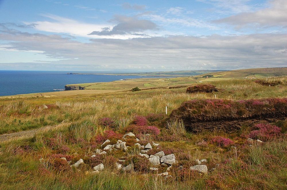
heritage · 7.5 km
Céide Fields asks you to look for a landscape that is mostly hidden. Beneath the bog are traces of prehistoric fields and settlement, and the visitor interpretation does much of the work of making that…
Open place page →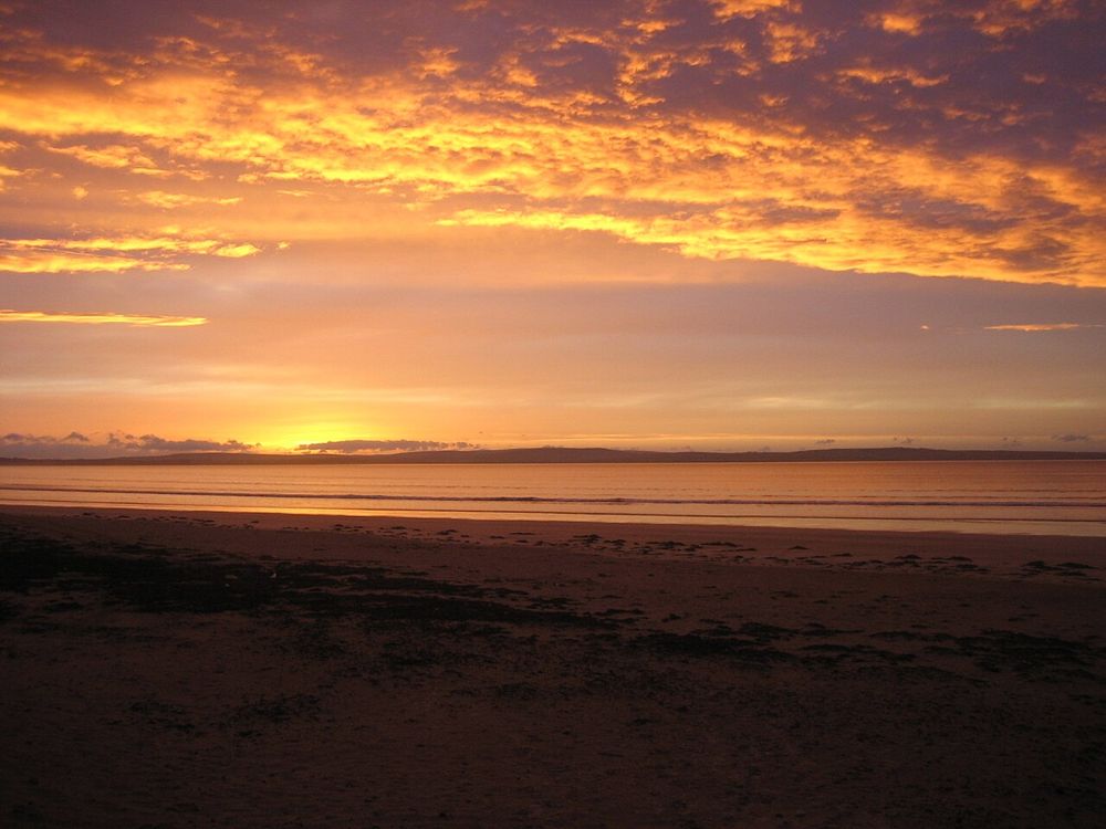
coast · 20.4 km
Enniscrone’s long sandy sweep makes a good antidote to a day of tightly timed attractions. The town sits beside the beach, so you can choose a short shore pause or a longer out-and-back without turning the…
Open place page →The accessible travel account describes stopping on a Wild Atlantic Way drive and focuses on the force of the coastal landscape. It is a single published account, not a review consensus or a current conditions report; use it for context and follow local access guidance.
Original paraphrases of public visitor accounts. These are limited perspectives, not a representative survey or a claim of our own visit. Use current operator information for access and opening.
Location & access
This is an exposed coastal headland. The approximate pin is not a safe cliff-edge position, and a short approach does not remove hazards from wind or unstable ground.
54.32600, -9.34500 · Reference point; confirm the correct entrance and access. Map © OpenStreetMap contributors.
Source-based place brief. A catalogue reference is not a live availability check or a report of a personal visit.
Visitor details checked 19 October 2026. Page content updated 2026-10-20.