Rocky headland
Look at the changing rock and coastline from established paths. Keep well back from edges even when another viewpoint appears tempting.
coast · Louth
Clogherhead adds a rocky interruption to Louth’s softer coastline. From the headland, the fishing harbour and open sea give the village a different feel from a simple beach stop. The walk is the attraction here, but it should be chosen for the day’s ground and weather, not because a map makes the distance look short.
Source-based editorial assessment · out of 10
Best for a coastal walk when conditions suit. If paths are muddy or winds strong, keep to a shorter village or harbour visit instead of forcing a headland circuit.
Bring footwear suitable for wet natural paths and reconsider the headland in poor visibility or strong winds. A beach visit does not establish safe conditions on the cliff path.
Best for: An exposed coastal path with natural ground and cliff edges, separate from the sandy beach and working harbour.
Planning blend: 7.0 / 10 · Sustainability: unrated
Experience considers the reward and depth of this particular stop. Visitor friendliness considers practical ease: arrival, booking, physical demands, cost and flexibility. These are editorial judgements based on linked information, not visitor averages or a claim of a personal visit.
Assessed . Supporting guide source-check date: 2026-10-19. The assessment date does not mean every linked source was newly checked.
The blend uses (40 × Experience + 55 × Visitor friendliness) ÷ 95, rounded to the nearest half point. Missing sustainability does not affect it. A missing current visit score is not zero and has no blend.
A high score is not a safety clearance or a guarantee of step-free access. Food-stop scores concern the planned visit, not an untested meal. Read the scale and scope · Suggest a correction.
From research
Best for a coastal walk when conditions suit. If paths are muddy or winds strong, keep to a shorter village or harbour visit instead of forcing a headland circuit.
Know before you book: An exposed coastal path with natural ground and cliff edges, separate from the sandy beach and working harbour.
Place highlights
Look at the changing rock and coastline from established paths. Keep well back from edges even when another viewpoint appears tempting.
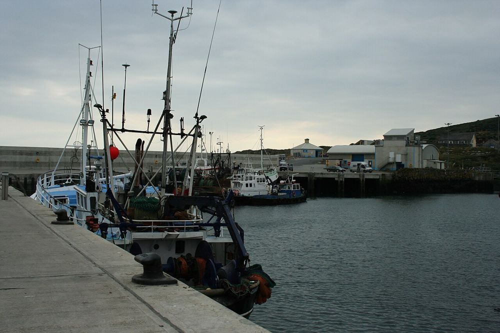
Port Oriel’s boats and shoreline give the scenery a working context. Stay out of operational spaces and keep access clear.
The story behind the visit
Clogherhead’s name refers to its rocky headland. That geology distinguishes this stretch of the east coast and helps explain why a relatively modest village has such a strong visual presence from the sea. Source ↗
Dated visitor information
Follow signs for Clogherhead village and the local headland approach. Choose legal parking for your actual route and read current signs; the headland pin is not a trailhead parking bay. Official visitor information ↗
Source information checked 19 October 2026; confirm current access and visitor arrangements with the operator.
No. The headland is a different walk with different ground and exposure. Source ↗
Natural paths can become muddy. Check conditions and choose a shorter sheltered alternative when needed. Source ↗
Nearby options
Distances are straight-line estimates between catalogue pins, within 30 km. Roads, entrances and walking routes may be much longer. Known closed places are excluded; inclusion does not confirm opening today.
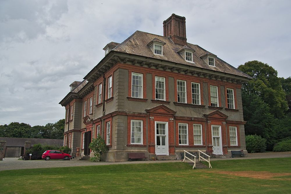
heritage · 9.3 km
Beaulieu is a planned house-and-garden visit on the Boyne rather than an attraction to leave to chance. Its value is in the relationship between the historic home, its collections and its setting. The right…
Open place page →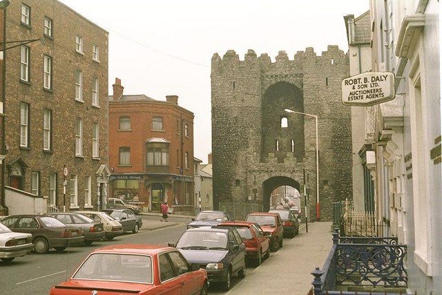
heritage · 12.3 km
St Laurence’s Gate is a compact but memorable piece of medieval Drogheda. Two tall towers and the arch between them turn an ordinary street into a glimpse of the defended town. It works best as part of a walk,…
Open place page →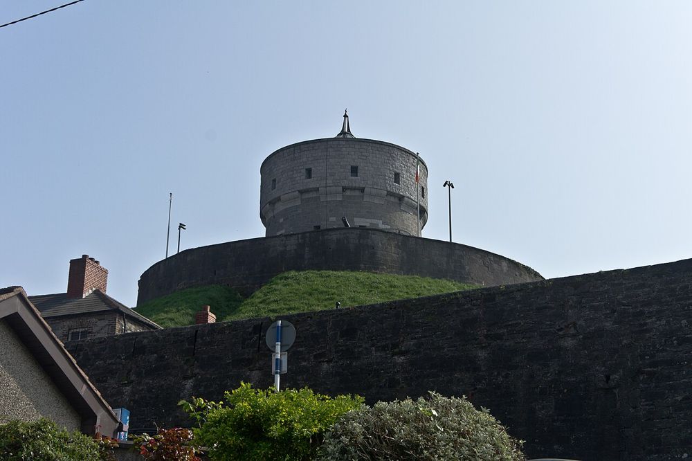
attraction · 12.8 km
Millmount gives Drogheda both a lookout and a local history collection. The mound rises above the streets, so the town becomes easier to understand geographically before the exhibits add its human detail.…
Open place page →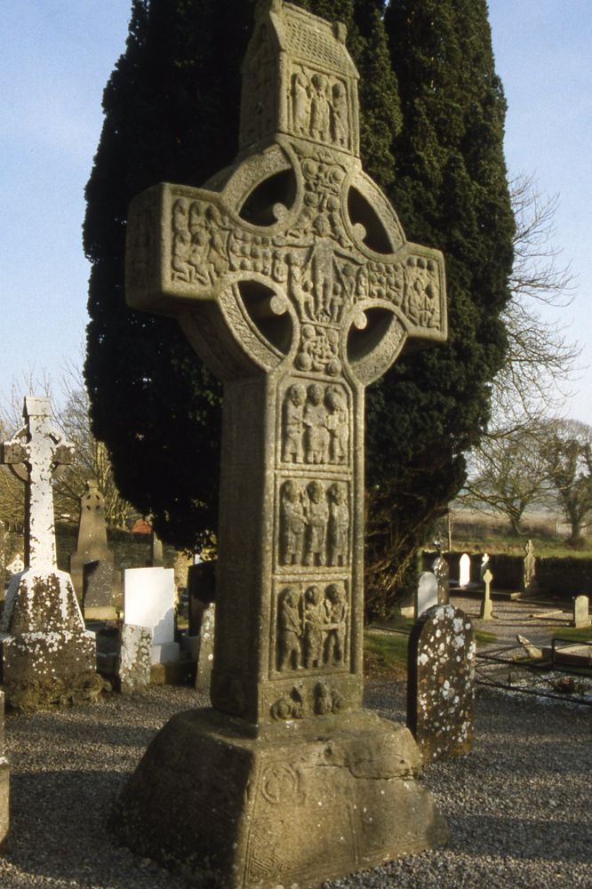
heritage · 13.1 km
Monasterboice is worth slowing down for the carved crosses. From a distance they are impressive silhouettes; close up, the crowded panels turn them into a visual storytelling surface. The round tower gives the…
Open place page →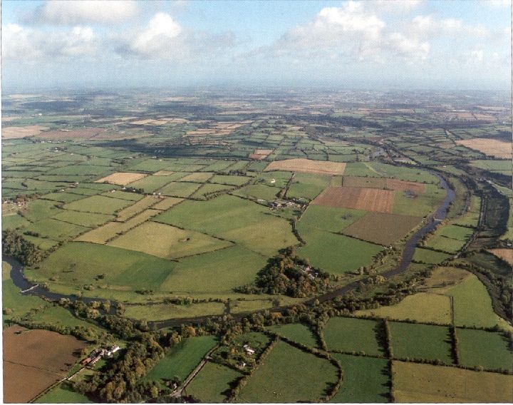
heritage · 18.8 km
Brú na Bóinne is a planned archaeological visit, with the visitor centre and official shuttle system forming part of the experience rather than an optional prelude.
Open place page →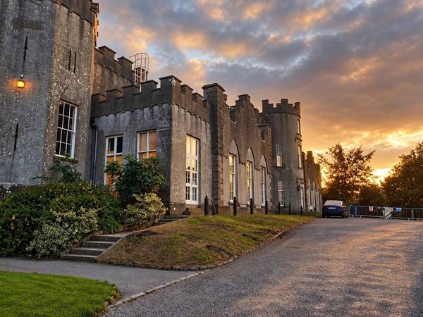
heritage · 22.9 km
A castellated country house above the sea, with gardens, parkland and a separately ticketed interior tour.
Open place page →In a limited public discussion, a local walker described enjoying the coast but avoiding the headland when winter mud makes it unpleasant. That is a useful seasonal caution, not a present-day inspection of the path.
Original paraphrases of public visitor accounts. These are limited perspectives, not a representative survey or a claim of our own visit. Use current operator information for access and opening.
Location & access
An exposed coastal path with natural ground and cliff edges, separate from the sandy beach and working harbour.
53.79800, -6.22100 · Reference point; confirm the correct entrance and access. Map © OpenStreetMap contributors.
Source-based place brief. A catalogue reference is not a live availability check or a report of a personal visit.
Visitor details checked 19 October 2026. Page content updated 2026-10-20.