The timber groynes
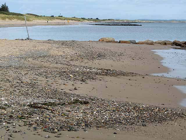
Look at the repeated lines running across the shore. Their relationship with the sand makes the beach’s management visible; observe from a sensible distance rather than using the structures as a walkway.

nature · Wexford
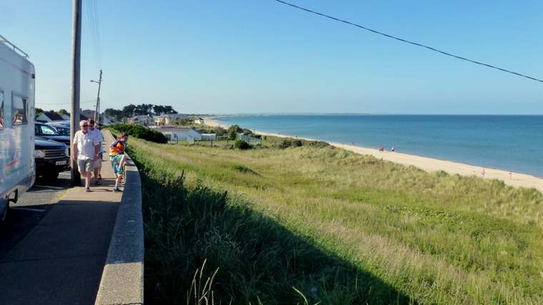
Rosslare Strand is a long coastal landscape that changes with the tide and weather. Choose a short section of beach and give it time: the timber groynes, shifting sand and wide seaward view offer more to notice than a quick stop at the nearest access point.
From research
Choose this for a shore walk beside a village, with an option to stay at a viewing area if soft sand does not suit you. Decide on a sensible turning point before setting off. A short, unhurried visit can work better than committing to the far end of the strand.
Know before you book: The planned visit is land-based. Beach conditions vary, and a summer lifeguard listing does not establish cover outside that season. Use local warning signs, avoid the water and groynes in rough conditions, and allow the tide to influence how much beach is available.
Place highlights
Look at the repeated lines running across the shore. Their relationship with the sand makes the beach’s management visible; observe from a sensible distance rather than using the structures as a walkway.
Pause where you can see along the strand and compare the near sand with the distant coastline. Changing light and water levels can alter the same view during a single visit.
The council identifies an accessible viewing approach as an alternative to moving onto soft sand. Use the surface that suits your group and enjoy the coast without needing to complete a long walk.
The story behind the visit
Rosslare Strand lies on the southern side of Wexford Harbour, with sand and stone along a coastal peninsula. Visit Wexford identifies the timber breakwaters as structures intended to retain sand. They are part of the reason the beach has such a distinctive repeated pattern. Source ↗
The coastal flood-risk project describes a low-lying village beside dunes and a sandy beach. That setting is dynamic: a beach is not a fixed pavement whose width and surface remain constant. Look at the relationship between the village edge, dunes and water as parts of the same coastal system. Source ↗
The council’s visitor information distinguishes the beach itself from the walkway and viewing area. That practical distinction matters: an approach suitable for someone with limited mobility does not make the entire sandy shore equally easy to cross. Plan around the experience you want, rather than assuming one route serves everyone. Source ↗
Visitor information
Use Rosslare Strand village and its signed public beach access, rather than Rosslare Europort. The council’s embedded beach map supplies an approximate orientation reference, not a confirmed gate. Follow current parking, access and warning signs when you arrive. Official visitor information ↗
Confirm current access and visitor arrangements with the operator.
No. Rosslare Strand is the beach beside the village; Rosslare Europort is a separate destination. Check the name before following directions. Source ↗
No. The council distinguishes the viewing walkway from the soft, wind-blown sand. Arrange any equipment you need in advance. Source ↗
No. Awards do not describe every tide, weather condition or day’s water quality. This guide plans shore viewing and walking, not swimming. Source ↗
Nearby options
Explore other places in the area, then use live directions to plan your journey.
heritage
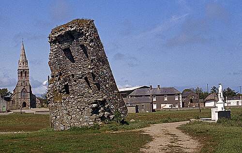
Our Lady’s Island brings a pilgrimage landscape into contact with a coastal lagoon. Ruined buildings, a graveyard and the public pilgrim route give the place several layers of meaning. Begin with the landward…
Open place page →
heritage
Johnstown is easiest to enjoy as an estate day with several choices, rather than simply a castle ticket. The Gothic house provides the image, but lakeside paths and the agricultural museum give the visit a…
Open place page →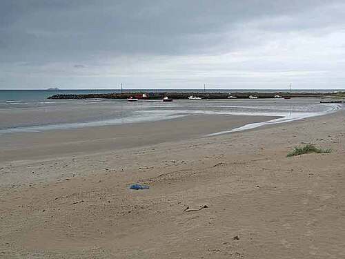
nature
Carne combines an east-facing sandy beach with the working scale of a small harbour. A visit can be as simple as pausing at the shore, looking along the strand and watching the relationship between beach and…
Open place page →
heritage
Selskar is a rewarding interruption to a Wexford town walk because the ruins sit inside the modern street pattern. It is not a large countryside abbey: the interest is in finding the medieval town beneath…
Open place page →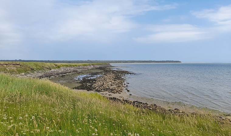
nature
Wexford Wildfowl Reserve is a place to watch a landscape carefully rather than walk straight through it. Fields, shallow water and harbour margins provide feeding and resting ground for birds. Begin at the…
Open place page →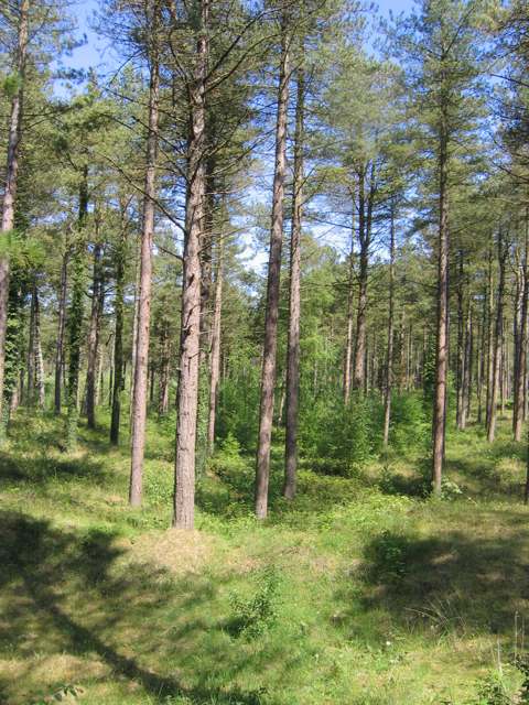
nature
The Raven brings pine woodland, dunes and the edge of Wexford Harbour into one coastal landscape. Follow the marked woodland loop to see how the character changes beneath the trees and towards the open shore.…
Open place page →Location & access
The planned visit is land-based. Beach conditions vary, and a summer lifeguard listing does not establish cover outside that season. Use local warning signs, avoid the water and groynes in rough conditions, and allow the tide to influence how much beach is available.
52.27322, -6.38726 · Reference point; confirm the correct entrance and access. Map © OpenStreetMap contributors.
Orientation only: a verified public entrance is not established by this pin. Use the operator arrival information before travel.