The pine woodland
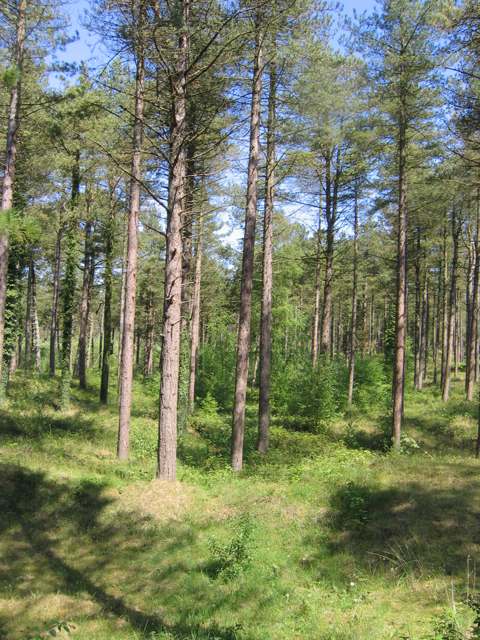
Notice how the trees shape light, shelter and the feel of the paths. Compare the wooded interior with openings towards the dunes rather than treating it simply as a route to the sea.

nature · Wexford
The Raven brings pine woodland, dunes and the edge of Wexford Harbour into one coastal landscape. Follow the marked woodland loop to see how the character changes beneath the trees and towards the open shore. The reserve is valuable as habitat as well as somewhere to walk.
From research
Choose this for a relatively gentle woodland outing with a coastal setting. The published Raven Wood Loop provides a clear plan for the visit, while the wider reserve contains more sensitive areas. Leave time for quiet observation without trying to reach every sandbar or shoreline feature.
Know before you book: An easy trail grade does not make every dune, beach or path equally accessible. Use the signed route and respect conservation notices, particularly around birds. This visit does not involve a tidal crossing, swimming or following birds onto their roosting ground.
Place highlights
Notice how the trees shape light, shelter and the feel of the paths. Compare the wooded interior with openings towards the dunes rather than treating it simply as a route to the sea.
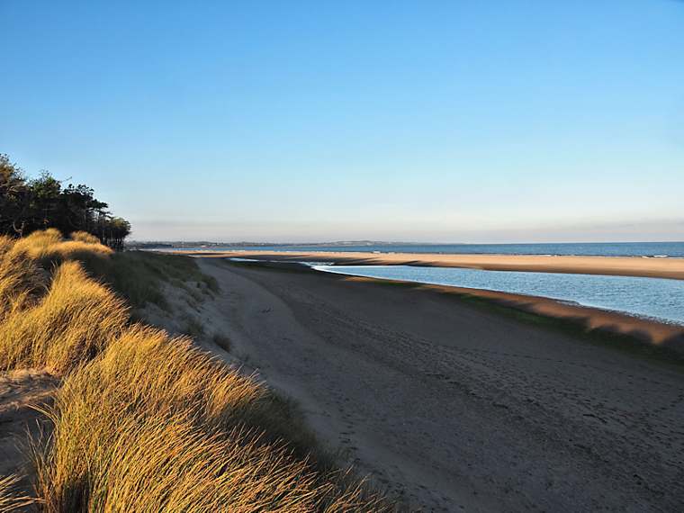
Look at the vegetation holding sand in place. Stay on established paths instead of making new tracks across fragile ground; the living cover is part of the landscape’s stability.
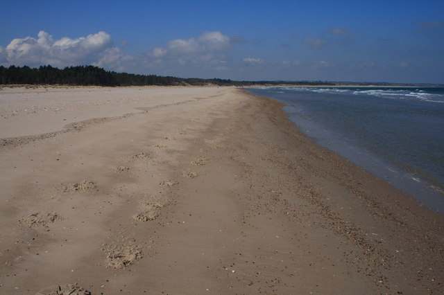
Where the route gives a view, pause to understand the relationship between harbour, sand spit and woodland. Keep any wildlife viewing at a distance and allow conditions to determine how long you linger.
The story behind the visit
The reserve began as a narrow sand spit sheltering Wexford Harbour. Reclamation of the adjacent North Slob changed its western edge, leaving the spit joined to land. The present mixture of woodland, dunes and harbour margins reflects that history of natural processes and human intervention. Source ↗
The Raven is important for birds, including wintering geese that feed elsewhere and roost near the southern end. Dunes also support specialised plants and invertebrates. Their importance is a reason to follow the visitor route, not an invitation to search every sensitive area for a particular species. Source ↗
The site forms part of the LIFE Insular dune-conservation project involving NPWS and Coillte Nature. The project treats dunes as living ecosystems that support biodiversity and help buffer coastal storms. A walk can therefore include noticing the habitat without needing to climb or disturb it. Source ↗
Visitor information
Use Raven Wood Car Park near Curracloe, following the published trail directions. The coordinate is Sport Ireland’s route reference and is retained for orientation only. Do not substitute a reserve-centre or southern sandbar pin for the signed trail start. Official visitor information ↗
Confirm current access and visitor arrangements with the operator.
No. They are separate visitor sites with distinct access. Do not cut across North Slob farmland to connect them. Source ↗
Use permitted routes and current signs. The reserve contains sensitive roosting and dune habitats, and this guide does not establish a complete shore circuit. Source ↗
The official trail is graded easy, but that is not a certification of an unrestricted step-free route. Confirm the surface and access for your needs. Source ↗
Nearby options
Explore other places in the area, then use live directions to plan your journey.
coast
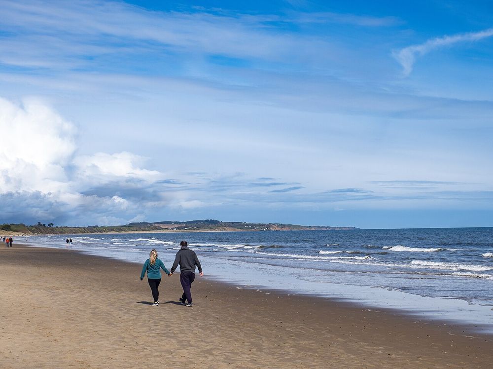
Curracloe is about room to walk: a broad sandy shore backed by dunes, with the Raven woodland nearby if you want a change from open sea. The film connection may explain the name recognition, but the everyday…
Open place page →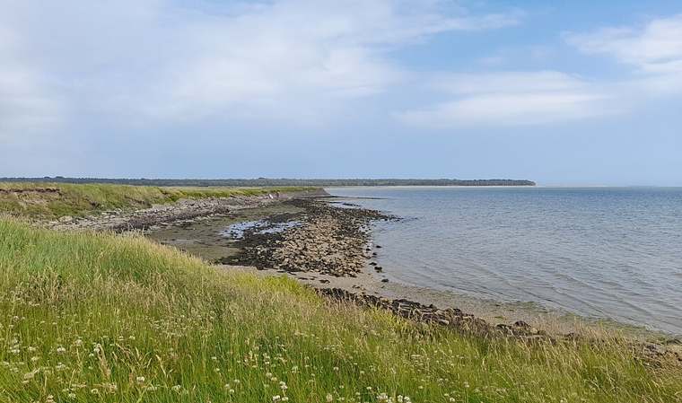
nature
Wexford Wildfowl Reserve is a place to watch a landscape carefully rather than walk straight through it. Fields, shallow water and harbour margins provide feeding and resting ground for birds. Begin at the…
Open place page →
heritage
Selskar is a rewarding interruption to a Wexford town walk because the ruins sit inside the modern street pattern. It is not a large countryside abbey: the interest is in finding the medieval town beneath…
Open place page →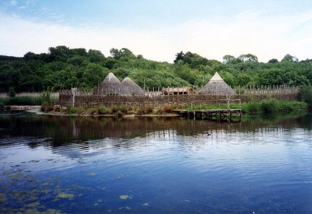
attraction
The Heritage Park is a walk through reconstructed buildings and landscapes, with enough space between them for the changes in time to register. It works particularly well when Irish archaeology has begun to…
Open place page →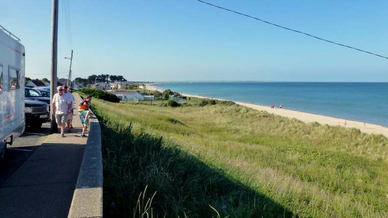
nature
Rosslare Strand is a long coastal landscape that changes with the tide and weather. Choose a short section of beach and give it time: the timber groynes, shifting sand and wide seaward view offer more to…
Open place page →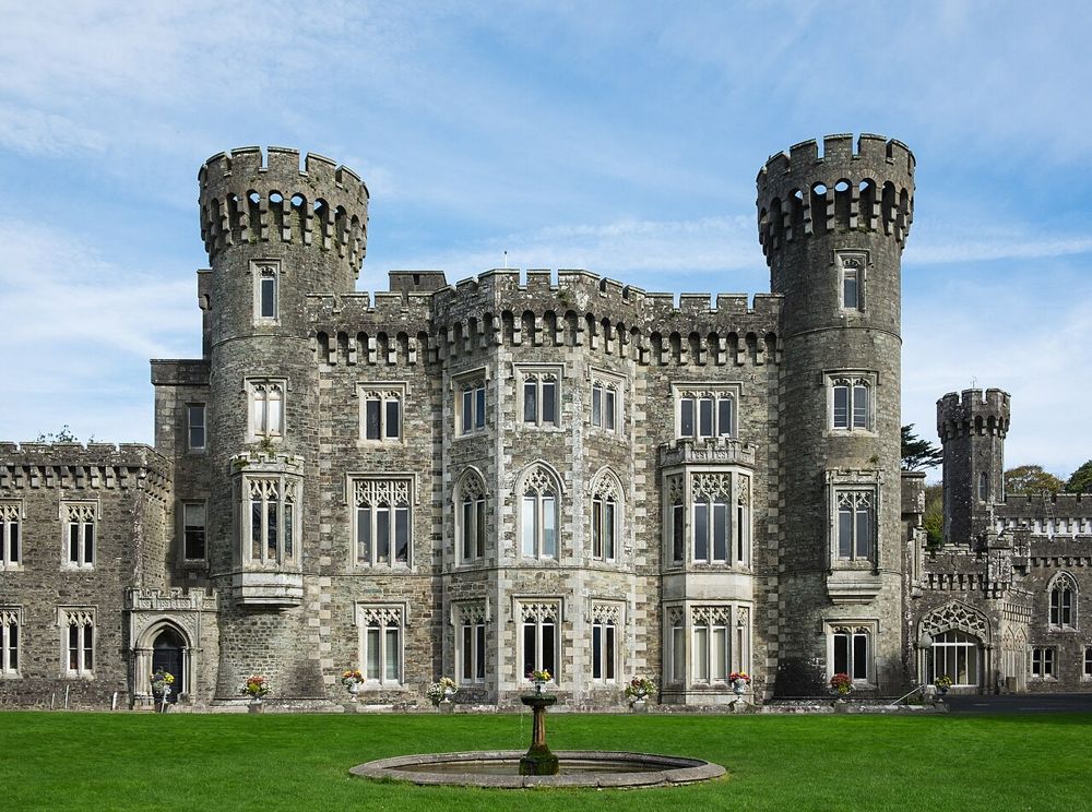
heritage
Johnstown is easiest to enjoy as an estate day with several choices, rather than simply a castle ticket. The Gothic house provides the image, but lakeside paths and the agricultural museum give the visit a…
Open place page →Location & access
An easy trail grade does not make every dune, beach or path equally accessible. Use the signed route and respect conservation notices, particularly around birds. This visit does not involve a tidal crossing, swimming or following birds onto their roosting ground.
52.38041, -6.36790 · Reference point; confirm the correct entrance and access. Map © OpenStreetMap contributors.
Orientation only: a verified public entrance is not established by this pin. Use the operator arrival information before travel.