The public waterfront
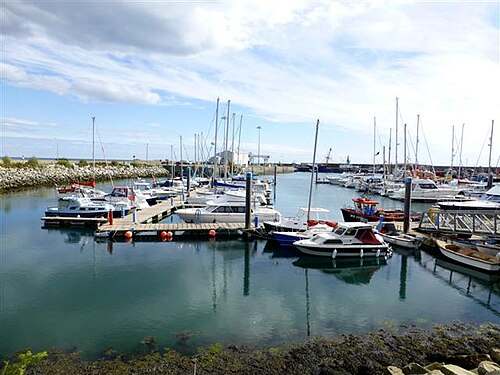
Look at the relationship between fishing vessels, marina and village. Choose permitted viewing areas and let the working activity set the boundaries of your route.

heritage · Wexford
Kilmore Quay is a village to explore at walking pace, with a working harbour at its centre and a memorial landscape looking out to sea. Give the public waterfront and village streets time together. The interest lies in how maritime work, home life and remembrance occupy the same small place.
From research
Choose this for a land-based coastal visit with cultural detail. Begin near the harbour, then follow permitted public paths towards the memorial garden or village. The longer Burrow walking trail is an optional separate outing, not something that has to be added to a short harbour visit.
Know before you book: The harbour is a place of work. Keep clear of vehicles, slipways, restricted pontoons and vessel operations, and respect private cottages when looking at the village architecture. A visit here does not include a boat journey, island landing or permission to board a fishing vessel.
Place highlights
Look at the relationship between fishing vessels, marina and village. Choose permitted viewing areas and let the working activity set the boundaries of your route.
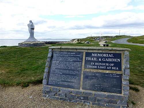
Pause with the sculptures and inscriptions instead of treating the garden simply as a path onwards. Its seaward outlook gives remembrance a specific local setting.
Look at the thatched cottages and other maritime buildings from public streets. Notice their scale and materials while remembering that many are occupied properties rather than exhibits to enter.
The story behind the visit
Kilmore Quay is both a fishing village and a visitor destination. Wexford’s film office records its harbour, marina and thatched cottages as defining features. Looking at those elements together helps explain a settlement whose character depends on the sea without reducing it to a picturesque backdrop. Source ↗
The memorial garden opened in June 2001 following a community project. Its stone ship, sculptural figures and other details remember lives lost at sea. The community account also records later work linking the harbour, garden and Burrow by promenade, giving visitors a public route through this part of the shoreline. Source ↗
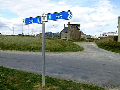
The nearby dunes are part of Ballyteigue Burrow, a landscape of high conservation importance. A waymarked loop begins at the harbour car park, but the village visit and the longer dune walk are distinct choices. Staying on established routes helps protect the habitat and makes your plan easier to manage. Source ↗
Visitor information
Use Kilmore Quay village and the public harbour area. The coordinate comes from the published walking-trail harbour reference and is used for orientation only. Follow current parking and harbour signs instead of treating a map point as permission to enter a pontoon or working quay. Official visitor information ↗
Confirm current access and visitor arrangements with the operator.
No. Any boat trip and landing is a separate arrangement subject to its operator and conditions. This guide covers the village and public waterfront. Source ↗
Use established, waymarked routes and follow conservation notices. A short village visit does not require a full Burrow circuit. Source ↗
Do not assume so. View the buildings from public streets and respect private homes and businesses. Source ↗
Nearby options
Explore other places in the area, then use live directions to plan your journey.
nature
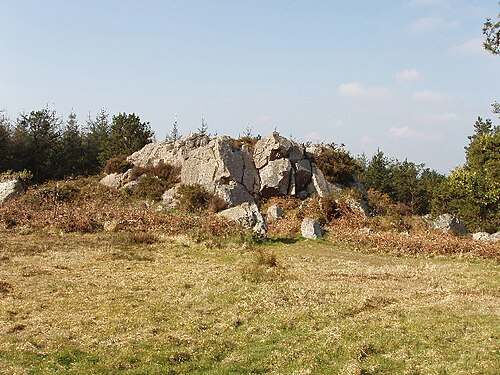
Forth Mountain’s rocky outcrops give a modest Wexford hill a distinctive character. The marked walking trail links woodland with more open ground, where the shape and texture of the rocks become part of the…
Open place page →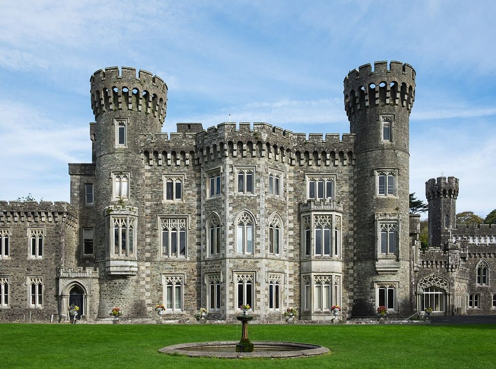
heritage
Johnstown is easiest to enjoy as an estate day with several choices, rather than simply a castle ticket. The Gothic house provides the image, but lakeside paths and the agricultural museum give the visit a…
Open place page →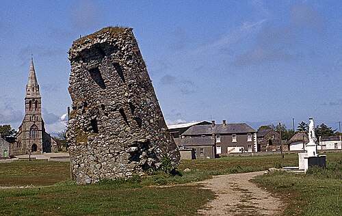
heritage
Our Lady’s Island brings a pilgrimage landscape into contact with a coastal lagoon. Ruined buildings, a graveyard and the public pilgrim route give the place several layers of meaning. Begin with the landward…
Open place page →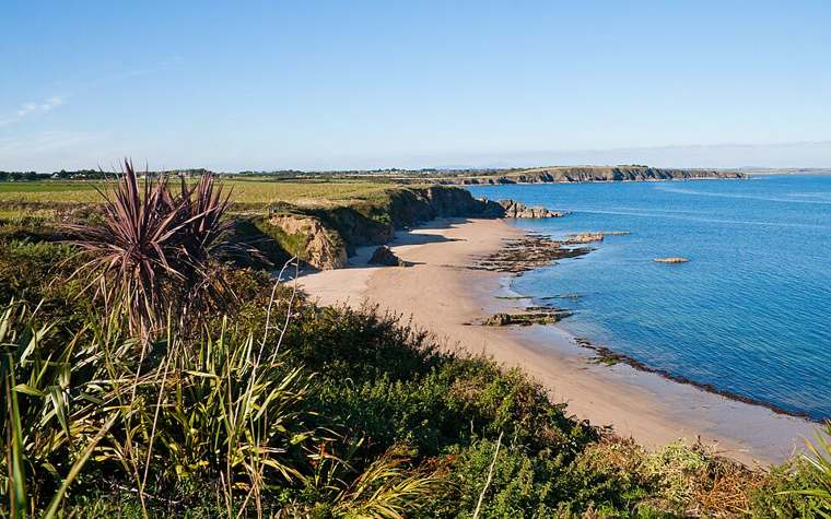
nature
Baginbun is a small cove whose enclosing slopes make the shape of the coast easy to appreciate. Give the beach a little time before moving on: look at the curve of sand, the headland and the changing edge of…
Open place page →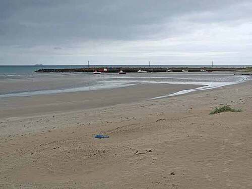
nature
Carne combines an east-facing sandy beach with the working scale of a small harbour. A visit can be as simple as pausing at the shore, looking along the strand and watching the relationship between beach and…
Open place page →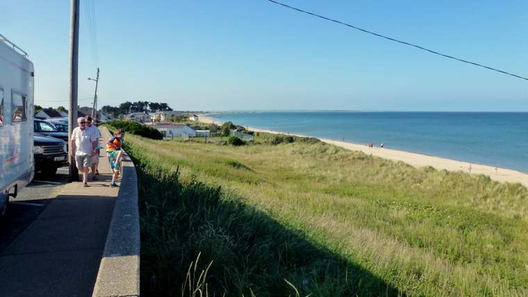
nature
Rosslare Strand is a long coastal landscape that changes with the tide and weather. Choose a short section of beach and give it time: the timber groynes, shifting sand and wide seaward view offer more to…
Open place page →Location & access
The harbour is a place of work. Keep clear of vehicles, slipways, restricted pontoons and vessel operations, and respect private cottages when looking at the village architecture. A visit here does not include a boat journey, island landing or permission to board a fishing vessel.
52.17226, -6.59107 · Reference point; confirm the correct entrance and access. Map © OpenStreetMap contributors.
Orientation only: a verified public entrance is not established by this pin. Use the operator arrival information before travel.