The cove’s shape
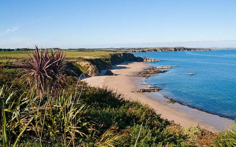
Look along the shore from a permitted vantage point and notice how the surrounding land frames the beach. The relationship between headland, sand and water is more revealing than a photograph aimed only out to sea.

nature · Wexford
Baginbun is a small cove whose enclosing slopes make the shape of the coast easy to appreciate. Give the beach a little time before moving on: look at the curve of sand, the headland and the changing edge of the water. Its historical association adds another reason to pause.
From research
Choose this for a compact coastal stop near Fethard-on-Sea. The beach can be rewarding without following the cliff edge or entering the water. Start by checking the public access and the conditions, then choose a short route within the space safely available.
Know before you book: A sheltered-looking cove is not a promise of safe swimming or year-round lifeguard cover. This guide plans a land-based visit. Keep away from unstable cliff edges and bases, follow any local restrictions and do not assume access across headland fields or inside the Martello tower.
Place highlights
Look along the shore from a permitted vantage point and notice how the surrounding land frames the beach. The relationship between headland, sand and water is more revealing than a photograph aimed only out to sea.
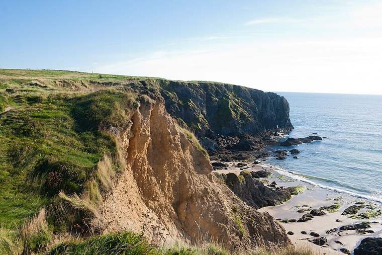
Observe the cliff-backed setting from an appropriate distance. Weathering and the movement of the sea continue to shape the cove, so avoid lingering beneath unstable faces.
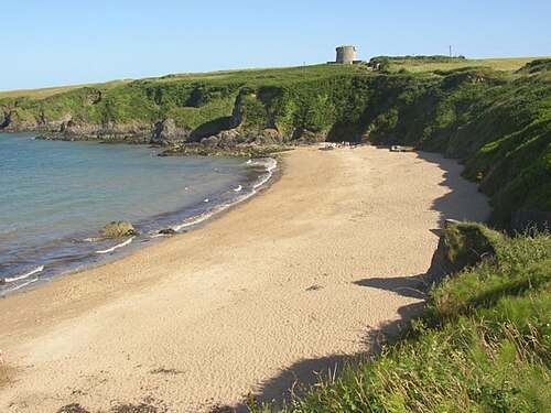
Use the local Norman Way interpretation to connect the cove with its medieval associations. Treat the surviving landscape as a setting for history, not a reconstruction of a landing scene.
The story behind the visit
Baginbun is associated with the Anglo-Norman landing of 1170. Discover Ireland identifies that history as part of the beach’s significance, while Visit Wexford includes it in the Norman Way. A short visit can therefore combine a coastal view with a wider story about the region. Source ↗
The physical form of a cove helps make such historical associations tangible: land encloses a relatively small stretch of shore and gives the visitor a clear sense of place. That is an invitation to look carefully, rather than evidence that the modern beach reproduces the exact medieval shoreline. Source ↗
Today the cove is promoted as a visitor beach outside Fethard-on-Sea. Its practical limits remain important. The official tourism listing notes a small car park and states that the beach is not wheelchair accessible; plan around those constraints rather than relying on a broad family-friendly description. Source ↗
Visitor information
Use Baginbun Beach near Fethard-on-Sea on the Hook Peninsula. The official tourism point identifies the cove for orientation. Follow the current public beach access; it does not establish a right to cross adjoining land or enter historic structures. Official visitor information ↗
Confirm current access and visitor arrangements with the operator.
No. Appearance does not establish water conditions or lifeguard cover. The planned visit here stays on land. Source ↗
No interior access is established by the sources used for this beach guide. View landmarks only from permitted public areas. Source ↗
The official tourism listing says the beach is not wheelchair accessible. Check suitable alternatives before travelling. Source ↗
Nearby options
Explore other places in the area, then use live directions to plan your journey.
heritage
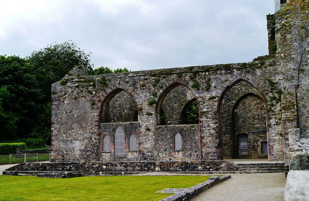
Tintern rewards a slower Hook Peninsula day: pale stone, a substantial ruined abbey and woodland around it instead of a roadside monument photographed through a fence. The building carries more than one…
Open place page →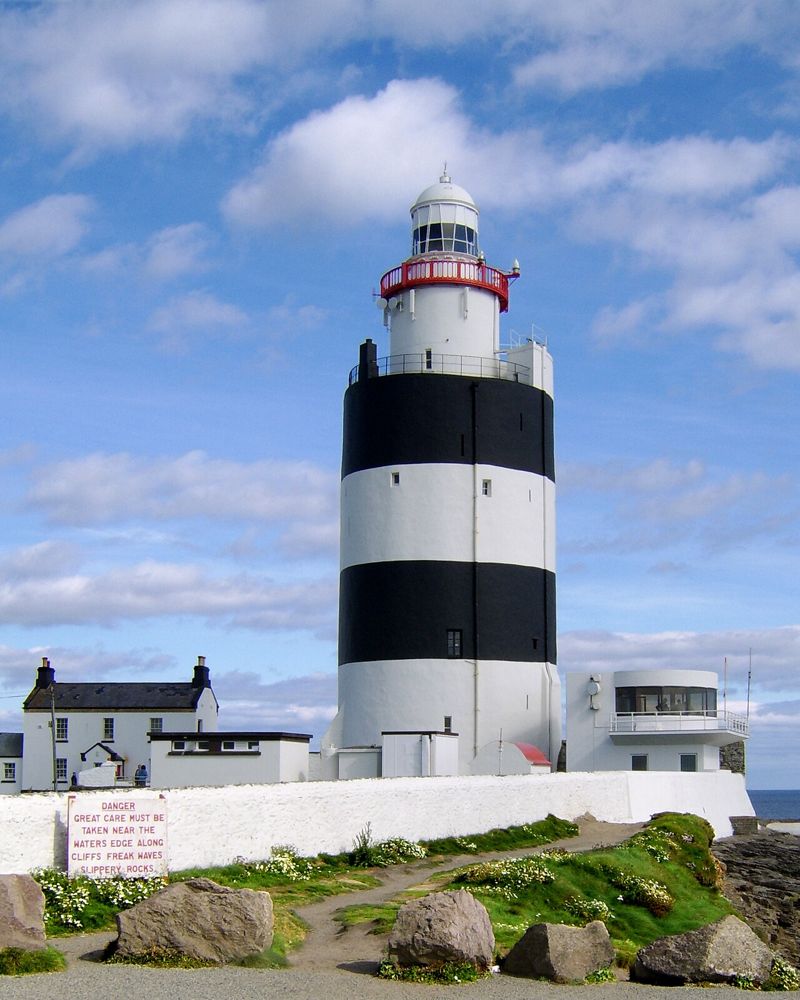
heritage
Hook is worth driving to the end of the peninsula for the tower itself, rather than just another sea photograph. The broad black-and-white exterior hides thick medieval walls and a working maritime story. Take…
Open place page →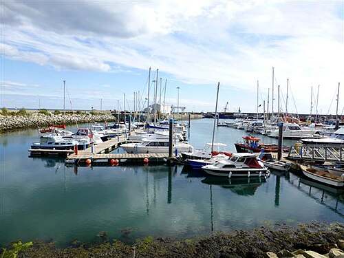
heritage
Kilmore Quay is a village to explore at walking pace, with a working harbour at its centre and a memorial landscape looking out to sea. Give the public waterfront and village streets time together. The…
Open place page →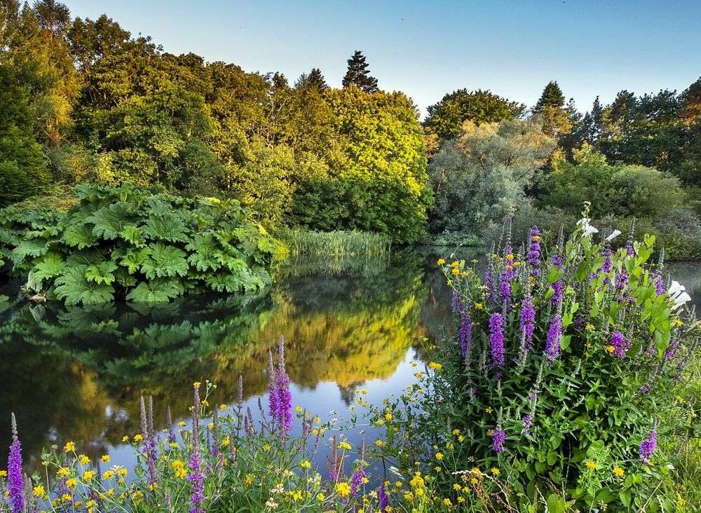
nature
The Kennedy connection may bring you here, but the trees are the reason to linger. This is a large planted landscape where an unhurried walk makes more sense than hunting for one signature photograph. Pick a…
Open place page →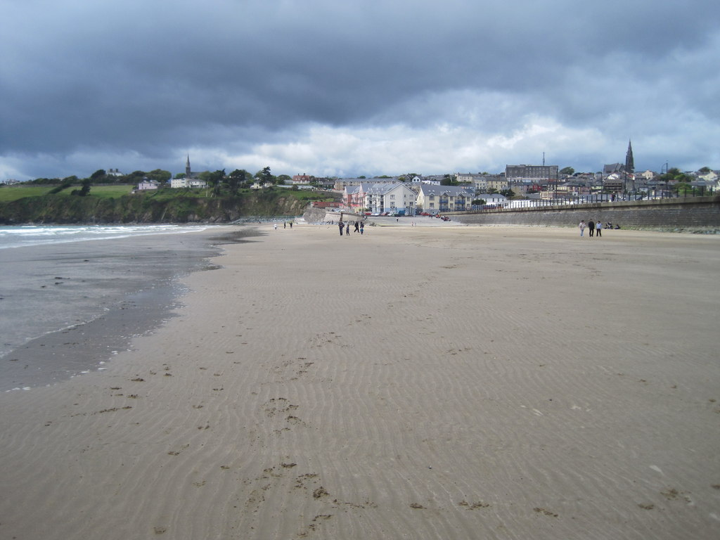
coast
Tramore is the town-and-strand start to a Copper Coast day: a broad beach, promenade and a choice of places to pause before the smaller coves farther west.
Open place page →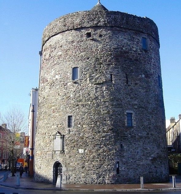
heritage
Reginald’s Tower gives Waterford’s Viking story a solid, slightly awkward physical setting: a round defensive tower with exhibitions reached by historic stairs. It is a better choice when you want to feel the…
Open place page →Location & access
A sheltered-looking cove is not a promise of safe swimming or year-round lifeguard cover. This guide plans a land-based visit. Keep away from unstable cliff edges and bases, follow any local restrictions and do not assume access across headland fields or inside the Martello tower.
52.17659, -6.83074 · Reference point; confirm the correct entrance and access. Map © OpenStreetMap contributors.
Orientation only: a verified public entrance is not established by this pin. Use the operator arrival information before travel.