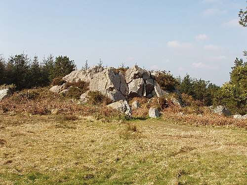
The quartzite outcrops
Look at the rock shapes where the marked route permits a close view. Their resistant forms give the hill a different appearance from the surrounding lower countryside.

nature · Wexford
Forth Mountain’s rocky outcrops give a modest Wexford hill a distinctive character. The marked walking trail links woodland with more open ground, where the shape and texture of the rocks become part of the outing. Choose the route for the walk itself, with views as a bonus when conditions allow.
From research
Choose this for a moderate half-day walk rather than a quick roadside photograph. Use the published route from New Line Car Park and allow the full walking time, plus breaks. The surrounding network includes other paths, so check the map before following a tempting side track.
Know before you book: Expect gradients and changing ground. Wear footwear suited to a hill trail, carry the current route information and leave sufficient daylight for the return. Views can disappear in low cloud, and a quarry or rocky edge should be observed from the established safe route.
Place highlights
Look at the rock shapes where the marked route permits a close view. Their resistant forms give the hill a different appearance from the surrounding lower countryside.
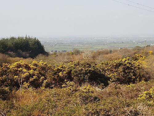
Notice the change between forest shelter and more open vegetation. Seasonal colour can be striking, but the experience depends on weather and on the current condition of the trail.
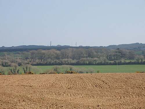
Use a safe stopping point to look out when visibility permits. Keep attention on your footing and route; no particular distant landmark is guaranteed to be visible.
The story behind the visit
Geological Survey Ireland identifies Cambrian quartzite, with shale and schist, as the hill’s main bedrock. It also describes rocky tors and blockfields shaped by cold conditions around the last Ice Age. Looking at the outcrops is therefore a way into a much longer story than the modern walking route. Source ↗
The forest recreation area includes several paths and waymarked routes. Coillte’s description and the local tourism material connect Forth Mountain with both outdoor recreation and the history of the region. For this guide, the specific Sport Ireland loop is the planned outing, rather than every path in the forest. Source ↗
Sport Ireland grades the Forth Mountain Trail moderate and records a 7.1-kilometre loop with 210 metres of ascent. Those figures matter more for planning than the hill’s modest overall height: the route asks for time, navigation and enough energy to finish comfortably. Source ↗
Visitor information
Use New Line Car Park, the start named in Sport Ireland’s Forth Mountain Trail record. Its coordinate is retained as a sourced route reference, not a verified entrance. Do not substitute another forest car park unless you have mapped how it connects with your intended route. Official visitor information ↗
Confirm current access and visitor arrangements with the operator.
No. Coillte describes a different distance and time. This guide explicitly follows Sport Ireland’s 7.1 km, 2½-hour record; confirm the current route on the ground. Source ↗
No. The planned outing is a moderate hill loop with ascent. Choose a different visit if that grade or duration does not suit your group. Source ↗
No swimming or quarry-water access is established by this walking guide. Keep to the signed route and follow local restrictions. Source ↗
Nearby options
Explore other places in the area, then use live directions to plan your journey.
heritage
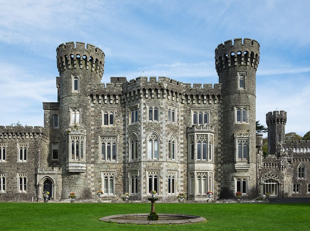
Johnstown is easiest to enjoy as an estate day with several choices, rather than simply a castle ticket. The Gothic house provides the image, but lakeside paths and the agricultural museum give the visit a…
Open place page →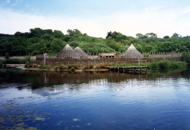
attraction
The Heritage Park is a walk through reconstructed buildings and landscapes, with enough space between them for the changes in time to register. It works particularly well when Irish archaeology has begun to…
Open place page →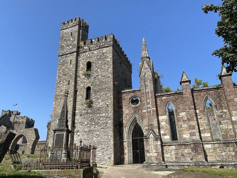
heritage
Selskar is a rewarding interruption to a Wexford town walk because the ruins sit inside the modern street pattern. It is not a large countryside abbey: the interest is in finding the medieval town beneath…
Open place page →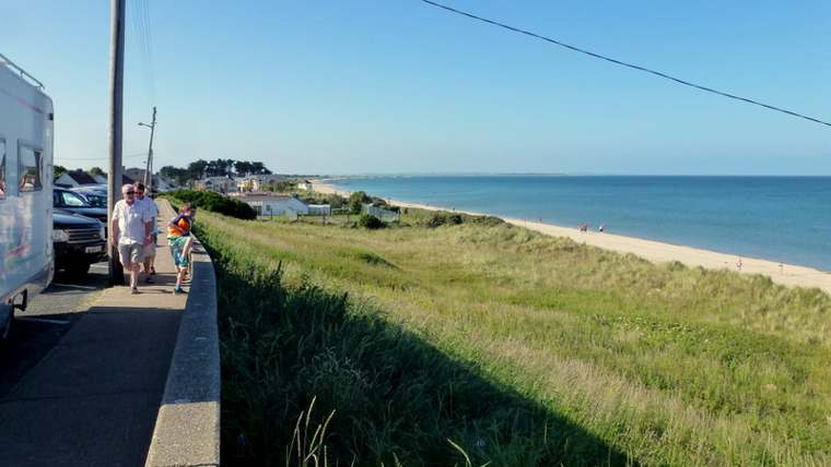
nature
Rosslare Strand is a long coastal landscape that changes with the tide and weather. Choose a short section of beach and give it time: the timber groynes, shifting sand and wide seaward view offer more to…
Open place page →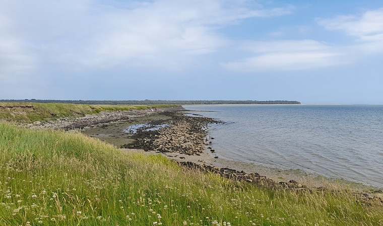
nature
Wexford Wildfowl Reserve is a place to watch a landscape carefully rather than walk straight through it. Fields, shallow water and harbour margins provide feeding and resting ground for birds. Begin at the…
Open place page →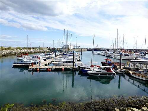
heritage
Kilmore Quay is a village to explore at walking pace, with a working harbour at its centre and a memorial landscape looking out to sea. Give the public waterfront and village streets time together. The…
Open place page →Location & access
Expect gradients and changing ground. Wear footwear suited to a hill trail, carry the current route information and leave sufficient daylight for the return. Views can disappear in low cloud, and a quarry or rocky edge should be observed from the established safe route.
52.29342, -6.58016 · Reference point; confirm the correct entrance and access. Map © OpenStreetMap contributors.
Orientation only: a verified public entrance is not established by this pin. Use the operator arrival information before travel.