The sandbar
Look along the shore between Streedagh Point and the wider coastal landscape. Pause on the established public route and look carefully. Watch your footing as well as the view; keep well away from exposed edges for photographs.

coast · Sligo
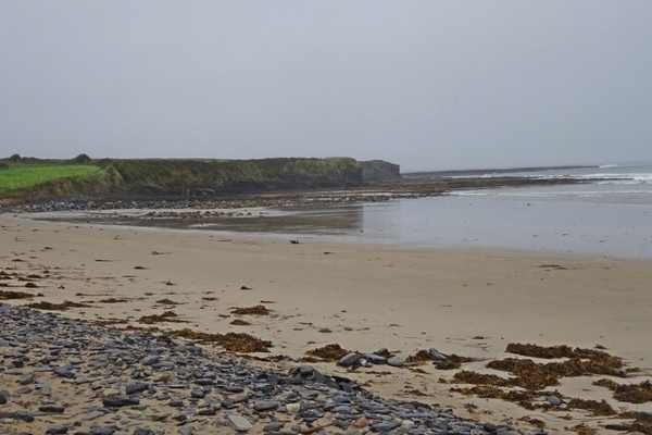
Streedagh Beach is a long sandy shore near Grange, with Atlantic water on one side and an estuary behind its dune-backed sandbar. The contrast between those two edges gives a walk its interest. Keep this as a land-based beach outing and use the established approach without entering fragile dunes or tidal channels.
From research
Choose Streedagh if you enjoy broad coastal views and the chance to notice different habitats within a single walk. It can be a short out-and-back rather than a full-length expedition. Wind, tide and current notices matter more than a fixed endpoint, and neither the estuary nor the ocean should be treated as automatically safe water.
Know before you book: This is an exposed outdoor visit. Tide, weather and local restrictions can change access; keep well back from cliffs and moving water.
Place highlights
Look along the shore between Streedagh Point and the wider coastal landscape. Pause on the established public route and look carefully. Watch your footing as well as the view; keep well away from exposed edges for photographs.
Observe the landward habitats from the established route rather than crossing vegetation or channels. Compare this feature with the wider surroundings. Use permitted approaches, leave plants and wildlife undisturbed and avoid shortcuts across adjoining land or fragile coastal vegetation.
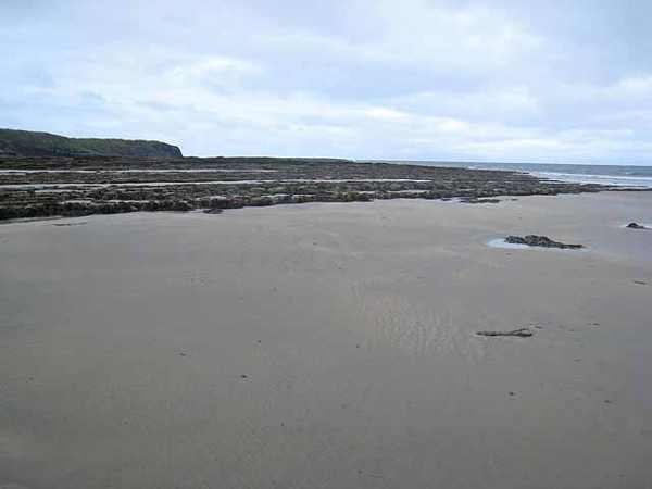
Watch the sea from accessible sand, keeping well clear of surf and any narrowing return route. Choose a comfortable turning point before conditions limit the return. A shorter visit still reveals the place’s character; you need not reach every visible landmark.
The story behind the visit
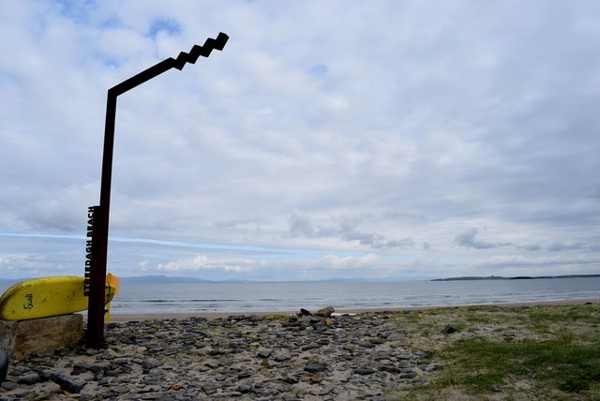
The official visitor account describes a sandbar backed by dunes, with an estuary to the east and the Atlantic to the west. That arrangement makes Streedagh more than a simple strip of sand. It brings different water conditions and habitats close together, providing a reason to pause and compare the two sides of the landscape. The published beach length is about three kilometres, but a satisfying walk need not cover the whole shore. Source ↗
The dunes and estuary support a range of plants and animals, while the exposed ocean edge changes continuously with waves and tide. Protecting the vegetation and giving wildlife room are part of enjoying that variety. Follow the worn public approach, avoid crossing channels and choose a turning point before the available shore becomes uncertain. A beach associated with surfing can still be enjoyed entirely from land; descriptions of recreational uses do not establish safe conditions for any particular visitor or day. Source ↗
Visitor information
Use the signed Streedagh Beach approach near Grange. Follow local beach-management notices and keep access routes clear. Official visitor information ↗
Confirm current access and visitor arrangements with the operator.
No. Choose a shorter permitted outing that fits conditions and leaves a straightforward return. Source ↗
No. This is a land-based visit; water activities need separate current safety advice. Source ↗
Nearby options
Explore other places in the area, then use live directions to plan your journey.
nature
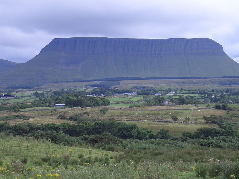
Benbulben Forest Walk gives you the mountain’s shape without turning the visit into a summit climb. Woodland and open sections frame the flat-topped limestone skyline, while wider views reach towards the coast…
Open place page →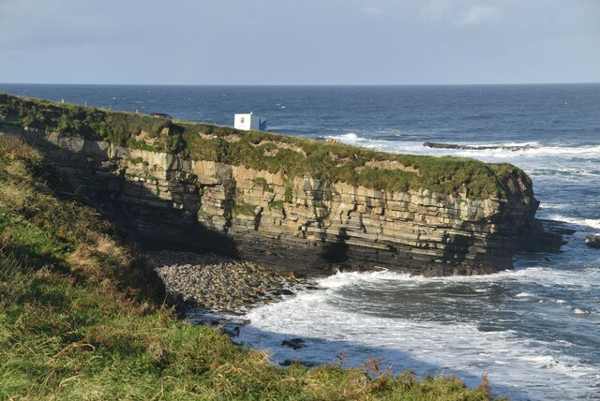
coast
Mullaghmore Head combines a coastal road, Atlantic views and the setting of a small harbour village in north Sligo. The headland is known for powerful surf, but a land-based visit is complete without entering…
Open place page →
heritage
Drumcliffe combines the grave of W.B. Yeats with a working church and the remains of an earlier monastic site beneath Benbulben. The high cross and surviving round-tower stump make the visit more than a…
Open place page →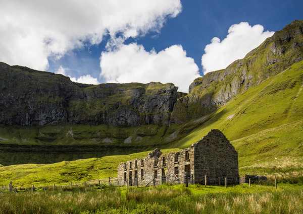
nature
The Gleniff Horseshoe is a scenic road circuit beneath the Dartry Mountains in north Sligo. Steep mountain faces enclose the valley, while views open towards Donegal Bay. Keep the visit on the public road and…
Open place page →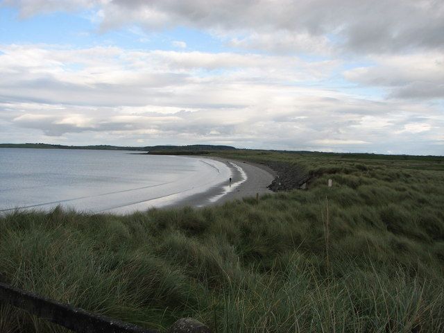
coast
Rosses Point is a gentler coastal choice than a plan built around exposed mountain ground. The peninsula combines village waterfront, beaches and views across Sligo Bay, so the visit can be as simple as a…
Open place page →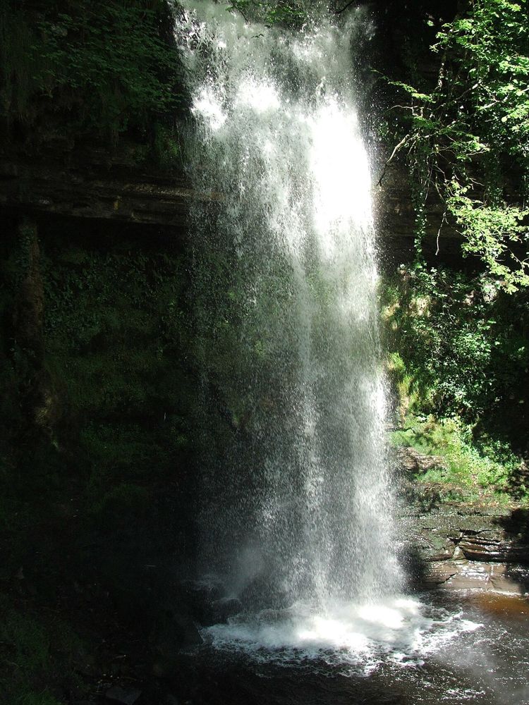
nature
Glencar is an accessible introduction to north Leitrim’s dramatic landscape, without committing to a mountain day. The waterfall sits in a wooded fold above the lake, so even the approach has a different mood…
Open place page →Location & access
This is an exposed outdoor visit. Tide, weather and local restrictions can change access; keep well back from cliffs and moving water.
54.40444, -8.56015 · Reference point; confirm the correct entrance and access. Map © OpenStreetMap contributors.
Orientation only: a verified public entrance is not established by this pin. Use the operator arrival information before travel.