Beaches and bay
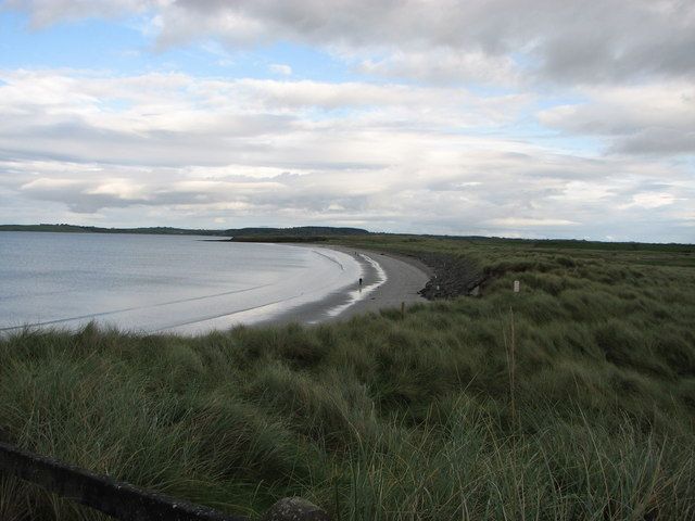
Find a shore route suited to the tide and your available time. The view across the water is part of the appeal even when a swim is not planned.
coast · Sligo
Rosses Point is a gentler coastal choice than a plan built around exposed mountain ground. The peninsula combines village waterfront, beaches and views across Sligo Bay, so the visit can be as simple as a manageable walk and time looking out. Choose your actual beach or route before arriving rather than treating the whole peninsula as one stop.
Source-based editorial assessment · out of 10
Choose it for an unhurried coast-and-village outing near Sligo. It suits visitors who want sea air without committing to a hill climb, although beach access and weather still need to match the group.
There are separate beach areas and coastal paths. Seasonal lifeguard arrangements and current bathing notices need checking independently of the village’s tourism descriptions.
Best for: Beaches and bay
Planning blend: 8.0 / 10 · Sustainability: unrated
Experience considers the reward and depth of this particular stop. Visitor friendliness considers practical ease: arrival, booking, physical demands, cost and flexibility. These are editorial judgements based on linked information, not visitor averages or a claim of a personal visit.
Assessed . Supporting guide source-check date: 2026-10-19. The assessment date does not mean every linked source was newly checked.
The blend uses (40 × Experience + 55 × Visitor friendliness) ÷ 95, rounded to the nearest half point. Missing sustainability does not affect it. A missing current visit score is not zero and has no blend.
A high score is not a safety clearance or a guarantee of step-free access. Food-stop scores concern the planned visit, not an untested meal. Read the scale and scope · Suggest a correction.
From research
Choose it for an unhurried coast-and-village outing near Sligo. It suits visitors who want sea air without committing to a hill climb, although beach access and weather still need to match the group.
Know before you book: There are separate beach areas and coastal paths. Seasonal lifeguard arrangements and current bathing notices need checking independently of the village’s tourism descriptions.
Place highlights
Find a shore route suited to the tide and your available time. The view across the water is part of the appeal even when a swim is not planned.
Look for the navigation features and the relationship between the village and channel. The waterfront tells a working coastal story rather than only a holiday one.
The story behind the visit
Rosses Point’s maritime history and associations with the Yeats family help connect the landscape to painting, writing and everyday coastal work. A slower walk makes those relationships easier to notice than a drive through the peninsula. Source ↗
Dated visitor information
Use the road from Sligo to Rosses Point and a designated legal arrival near your chosen public route. The map pin represents the peninsula visit, not every beach entrance. Official visitor information ↗
Source information checked 19 October 2026; confirm current access and visitor arrangements with the operator.
No. Rosses Point and Strandhill are separate coastal areas on different sides of Sligo Bay, with different access and water conditions. Source ↗
No. Choose one beach or a shorter village-and-waterfront walk to match your group and the weather. Source ↗
Nearby options
Distances are straight-line estimates between catalogue pins, within 30 km. Roads, entrances and walking routes may be much longer. Known closed places are excluded; inclusion does not confirm opening today.
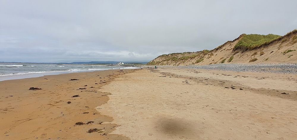
coast · 4.8 km
Strandhill is a place to watch the Atlantic arrive with force. The broad shore and the outline of Knocknarea behind the village make it a satisfying coastal stop even without taking part in a water activity.…
Open place page →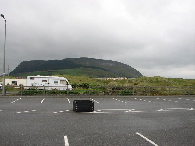
nature · 5.5 km
Knocknarea’s summit cairn is visible long before you reach it, making the climb feel like a journey towards a landmark rather than simply uphill exercise. The views over Sligo and the coast are a reward when…
Open place page →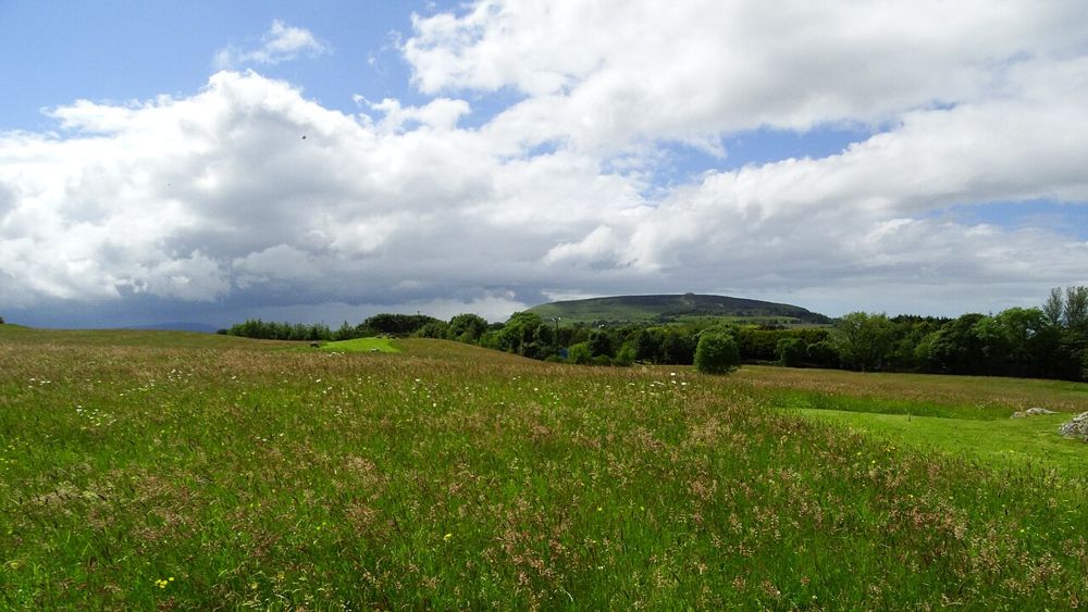
heritage · 7.0 km
Carrowmore is a landscape of tombs rather than a single spectacular chamber. Low stone monuments sit within a wider setting framed by Sligo’s hills, and their relationship becomes more interesting as you look…
Open place page →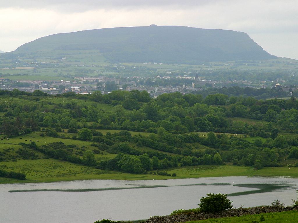
city · 7.1 km
Sligo town is a practical urban anchor for the northwest, with a river-centred walk and cultural stops that can be chosen independently of a wider county circuit.
Open place page →
heritage · 7.5 km
Sligo Abbey is a good place to change the scale of a town visit. Leave the traffic outside and spend time on carved stone, the cloister arcade and the surviving altar. The site is not large, but it offers…
Open place page →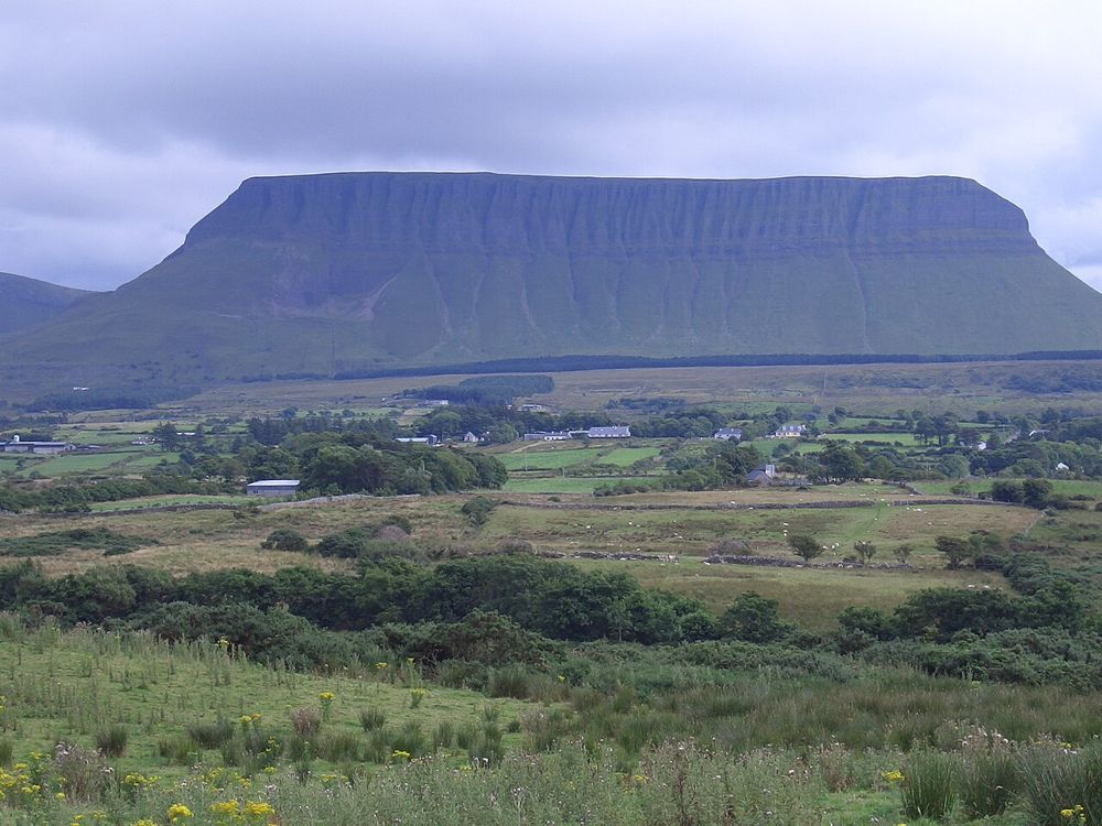
nature · 8.3 km
Benbulben Forest Walk gives you the mountain’s shape without turning the visit into a summit climb. Woodland and open sections frame the flat-topped limestone skyline, while wider views reach towards the coast…
Open place page →An accessible visitor excerpt praises the beach and view towards Benbulben, while another describes enjoying a drive around the area. This is a limited sample; it supports the scenic character, not a claim that every shore route is accessible or that bathing conditions are always suitable.
Original paraphrases of public visitor accounts. These are limited perspectives, not a representative survey or a claim of our own visit. Use current operator information for access and opening.
Location & access
There are separate beach areas and coastal paths. Seasonal lifeguard arrangements and current bathing notices need checking independently of the village’s tourism descriptions.
54.30700, -8.56600 · Reference point; confirm the correct entrance and access. Map © OpenStreetMap contributors.
Source-based place brief. A catalogue reference is not a live availability check or a report of a personal visit.
Visitor details checked 19 October 2026. Page content updated 2026-10-20.