Atlantic views
Watch the open sea from a secure public position, giving breaking water ample space. Pause on the established public route and look carefully. Watch your footing as well as the view; keep well away from exposed edges for photographs.

coast · Sligo
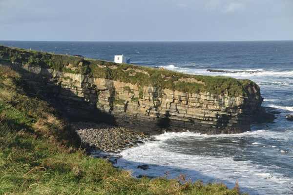
Mullaghmore Head combines a coastal road, Atlantic views and the setting of a small harbour village in north Sligo. The headland is known for powerful surf, but a land-based visit is complete without entering the water. Follow the established public route and appreciate the wider coastline from secure stopping places.
From research
Choose Mullaghmore for an adaptable coastal outing with a strong contrast between village shelter and exposed sea. You can enjoy a short section rather than aiming for a full circuit. Classiebawn Castle belongs in the distant view; its presence does not establish public access through the estate or to the building.
Know before you book: This is an exposed outdoor visit. Tide, weather and local restrictions can change access; keep well back from cliffs and moving water.
Place highlights
Watch the open sea from a secure public position, giving breaking water ample space. Pause on the established public route and look carefully. Watch your footing as well as the view; keep well away from exposed edges for photographs.
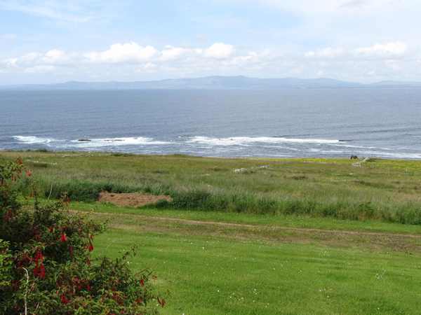
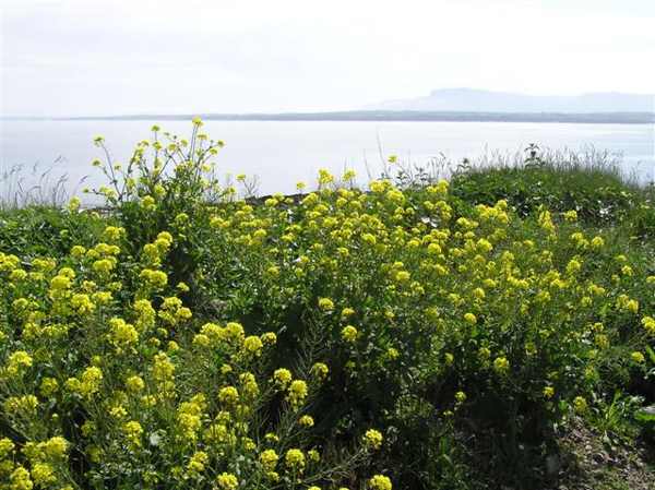
Look at the relationship between coastal road, rocky ground and the wider Donegal Bay view. Compare this feature with the wider surroundings. Use permitted approaches, leave plants and wildlife undisturbed and avoid shortcuts across adjoining land or fragile coastal vegetation.
Include the public harbour setting if time allows, keeping working access and residential space clear. Choose a comfortable turning point before conditions limit the return. A shorter visit still reveals the place’s character; you need not reach every visible landmark.
The story behind the visit
Fáilte Ireland places Mullaghmore between Cliffoney and Grange and describes a coastline associated with surfing and other sea activities. The headland and village are connected, but their conditions can feel very different: exposed coastal ground is not the same environment as a sheltered harbour street. That contrast provides a useful theme for a visit on foot or by road. Look at how settlement, harbour and the open Atlantic occupy neighbouring parts of the same landscape. Source ↗
Classiebawn Castle is a conspicuous feature of the wider setting, while clear conditions can open views across Donegal Bay towards other headlands. These are viewing possibilities rather than guaranteed sightings, and the castle remains separate from the public coastal outing. Keep the focus on what can be appreciated from permitted routes. The headland’s reputation for large waves is a reason to respect the sea from land, not an assurance that a dramatic display will occur or that a calm-looking shore is safe for swimming. Source ↗
Visitor information
Approach Mullaghmore village and use the established public coastal route. Keep private estate entrances and working harbour areas clear. Official visitor information ↗
Confirm current access and visitor arrangements with the operator.
No. Choose a shorter permitted outing that fits conditions and leaves a straightforward return. Source ↗
No. This is a land-based visit; water activities need separate current safety advice. Source ↗
Nearby options
Explore other places in the area, then use live directions to plan your journey.
coast
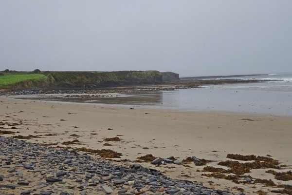
Streedagh Beach is a long sandy shore near Grange, with Atlantic water on one side and an estuary behind its dune-backed sandbar. The contrast between those two edges gives a walk its interest. Keep this as a…
Open place page →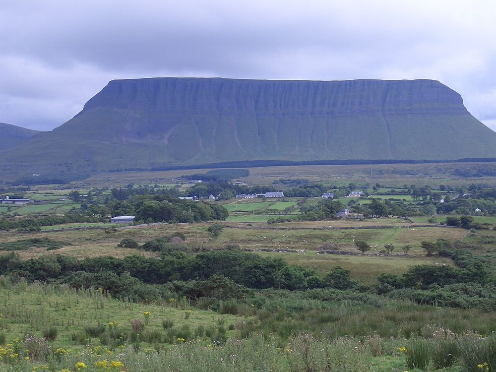
nature
Benbulben Forest Walk gives you the mountain’s shape without turning the visit into a summit climb. Woodland and open sections frame the flat-topped limestone skyline, while wider views reach towards the coast…
Open place page →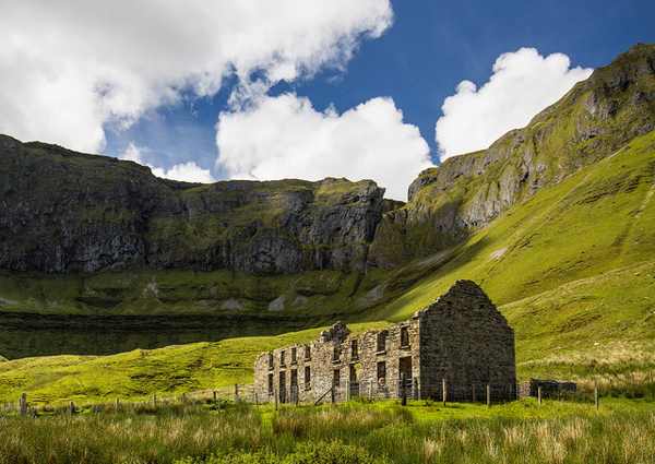
nature
The Gleniff Horseshoe is a scenic road circuit beneath the Dartry Mountains in north Sligo. Steep mountain faces enclose the valley, while views open towards Donegal Bay. Keep the visit on the public road and…
Open place page →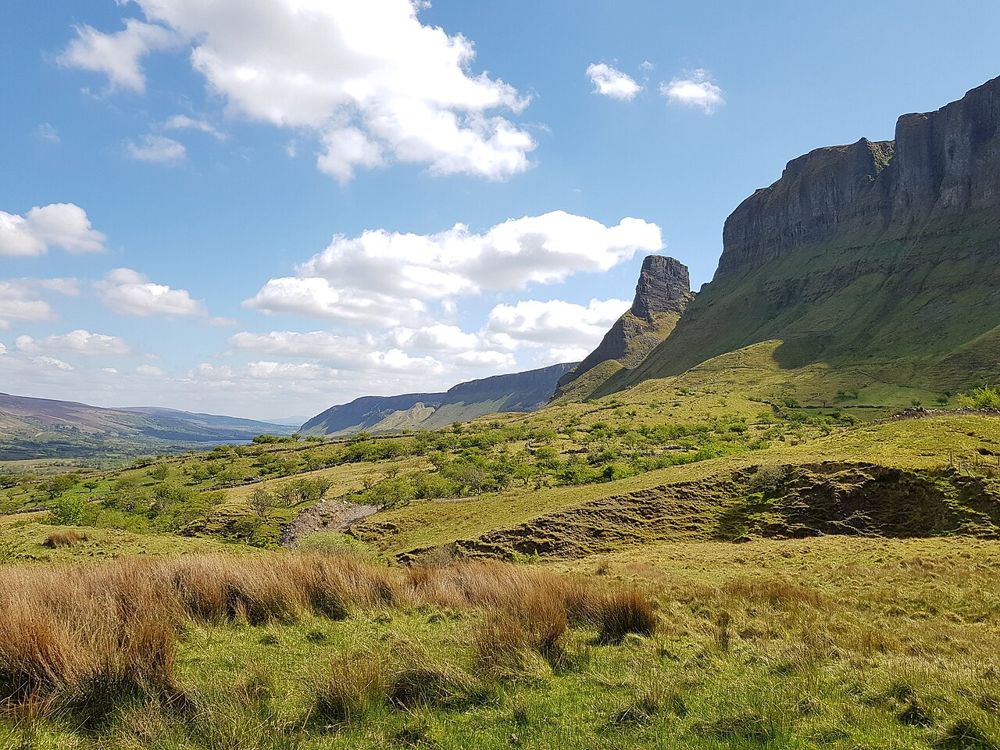
nature
The rock formations above Glenade give north Leitrim an unexpectedly theatrical skyline. Eagle’s Rock and neighbouring Hag’s Leap are better approached first as a landscape to look at from an authorised…
Open place page →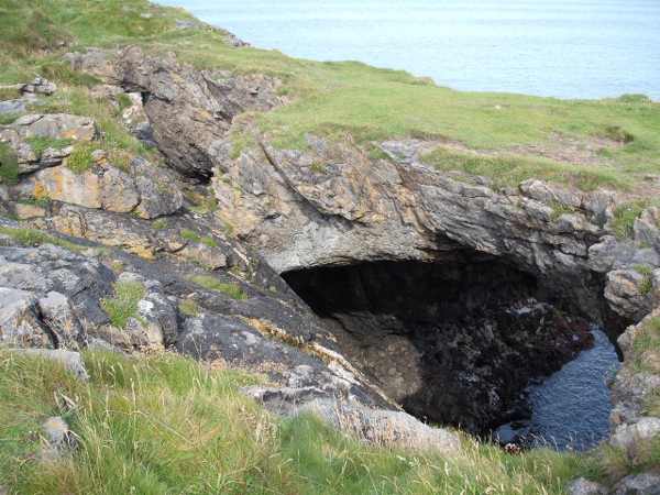
coast
The Fairy Bridges and Wishing Chair sit beside the sea at Bundoran, combining natural rock formations with local folklore. The arches and blowholes make the coastline visually distinctive, while the nearby…
Open place page →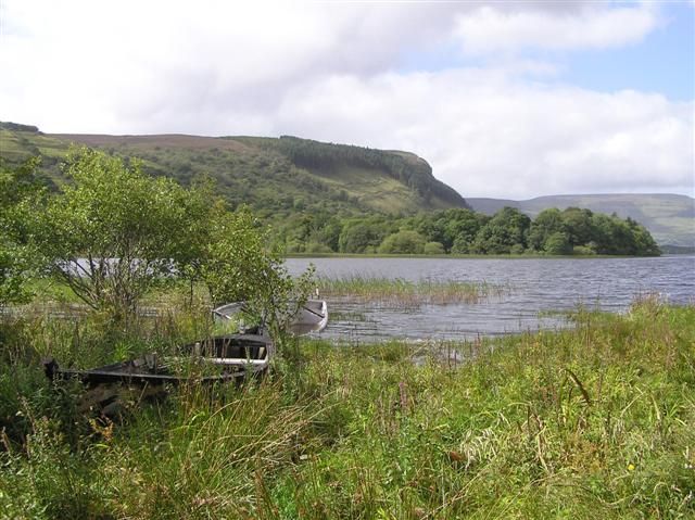
nature
Glenade Lough sits between steep valley sides, giving a short stop a surprisingly enclosed, almost amphitheatre-like feel. The lake is quiet to look at, but access around it needs care: a beautiful shoreline…
Open place page →Location & access
This is an exposed outdoor visit. Tide, weather and local restrictions can change access; keep well back from cliffs and moving water.
54.47032, -8.46342 · Reference point; confirm the correct entrance and access. Map © OpenStreetMap contributors.
Orientation only: a verified public entrance is not established by this pin. Use the operator arrival information before travel.