Peatland landscape
Watch the changing vegetation and open skyline from established routes. Keep to firm permitted ground and avoid damaging wet bog or nesting habitat.
nature · Monaghan
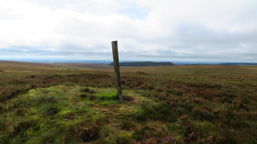
Sliabh Beagh is an open, low-key border landscape of peatland, forest and quiet roads. It does not offer one obvious summit attraction that explains the whole place. The reward comes from choosing a suitable route and paying attention to space, weather and the small details of the bog.
Source-based editorial assessment · out of 10
Best for walkers who enjoy quieter landscapes and can plan an appropriate route. If you need a short, obvious surfaced circuit, choose a managed park instead.
Use current local walking information for the actual loop or section you intend to follow. The full Sliabh Beagh Way is not equivalent to a casual afternoon stroll.
Best for: A dispersed walking area spanning county and jurisdictional boundaries, with routes of very different lengths and demands.
Planning blend: 7.0 / 10 · Sustainability: unrated
Experience considers the reward and depth of this particular stop. Visitor friendliness considers practical ease: arrival, booking, physical demands, cost and flexibility. These are editorial judgements based on linked information, not visitor averages or a claim of a personal visit.
Assessed . Supporting guide source-check date: 2026-10-19. The assessment date does not mean every linked source was newly checked.
The blend uses (40 × Experience + 55 × Visitor friendliness) ÷ 95, rounded to the nearest half point. Missing sustainability does not affect it. A missing current visit score is not zero and has no blend.
A high score is not a safety clearance or a guarantee of step-free access. Food-stop scores concern the planned visit, not an untested meal. Read the scale and scope · Suggest a correction.
From research
Best for walkers who enjoy quieter landscapes and can plan an appropriate route. If you need a short, obvious surfaced circuit, choose a managed park instead.
Know before you book: A dispersed walking area spanning county and jurisdictional boundaries, with routes of very different lengths and demands.
Place highlights
Watch the changing vegetation and open skyline from established routes. Keep to firm permitted ground and avoid damaging wet bog or nesting habitat.
The paths cross a landscape where political boundaries are less visible than forestry and terrain. Carry the correct map rather than relying on one destination pin.
The story behind the visit
The area’s blanket bog and upland setting support distinctive habitats and a shared border-region identity. Its walking routes reveal a lived landscape as well as nature, with local roads and forest tracks forming part of the experience. Source ↗
Dated visitor information
Use a confirmed trailhead around Knockatallon for a Monaghan-based visit. The broad landscape pin is orientation only, not a starting point or a route across private land. Official visitor information ↗
Source information checked 19 October 2026; confirm current access and visitor arrangements with the operator.
No. Sliabh Beagh contains several options; choose a specific published route and plan the return. Source ↗
No. A suitable established loop can show the character of the landscape without pursuing a high point. Source ↗
Nearby options
Distances are straight-line estimates between catalogue pins, within 30 km. Roads, entrances and walking routes may be much longer. Known closed places are excluded; inclusion does not confirm opening today.
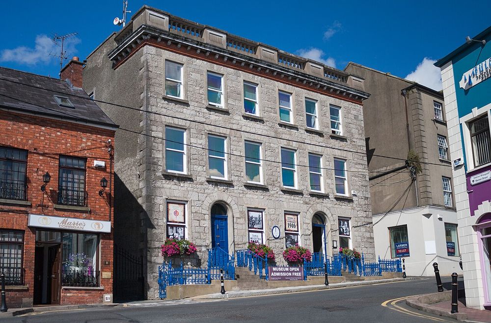
attraction · 13.8 km
Monaghan County Museum is now a Peace Campus visit, not a search for its old town-centre address. The relocated collection connects local objects with the county’s broader history and border setting. It gives…
Open place page →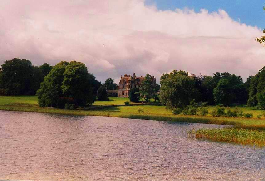
heritage · 14.1 km
Castle Leslie brings together a lake, mature woodland and an estate that still operates as a hotel and equestrian destination. The landscape is the reason to consider a visit, but access should be arranged on…
Open place page →
nature · 14.9 km
Rossmore is a forest outing with enough variety to keep it from becoming one long tunnel of trees. Lakes, estate remains and giant sculptures give you things to notice along the way. Choose a route that fits…
Open place page →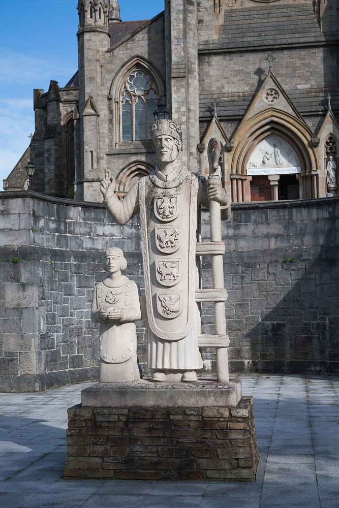
heritage · 15.0 km
St Macartan’s Cathedral is Monaghan’s obvious hilltop landmark, but there is more to a visit than seeing the spire from below. If the church is open outside services, step inside for the scale of the space and…
Open place page →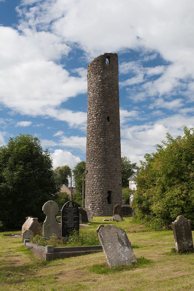
heritage · 20.9 km
Clones Round Tower is a reminder that the town’s story began long before its modern streets. Set within a burial ground, it makes a compact heritage stop that is best connected with the nearby church remains…
Open place page →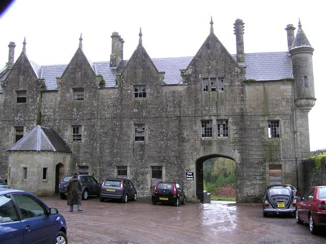
nature · 21.5 km
Parkanaur is best approached as a quieter woodland outing, with a former estate and deer landscape adding interest. It is not a place that needs a long checklist to justify a walk.
Open place page →An individual walking account describes repeated visits and interest in exploring the waymarked route further. It is useful evidence of the area’s quiet walking appeal, but an older personal account cannot establish current conditions on every path.
Original paraphrases of public visitor accounts. These are limited perspectives, not a representative survey or a claim of our own visit. Use current operator information for access and opening.
Location & access
A dispersed walking area spanning county and jurisdictional boundaries, with routes of very different lengths and demands.
54.35000, -7.10500 · Reference point; confirm the correct entrance and access. Map © OpenStreetMap contributors.
Source-based place brief. A catalogue reference is not a live availability check or a report of a personal visit.
Visitor details checked 19 October 2026. Page content updated 2026-10-20.