Cross with a purpose
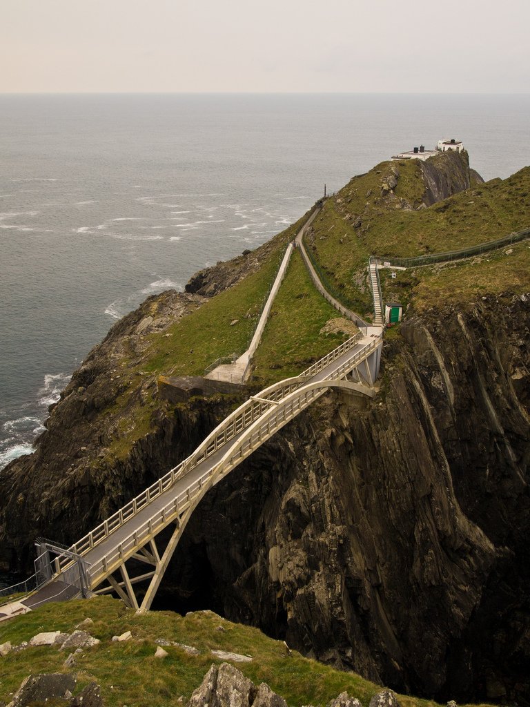
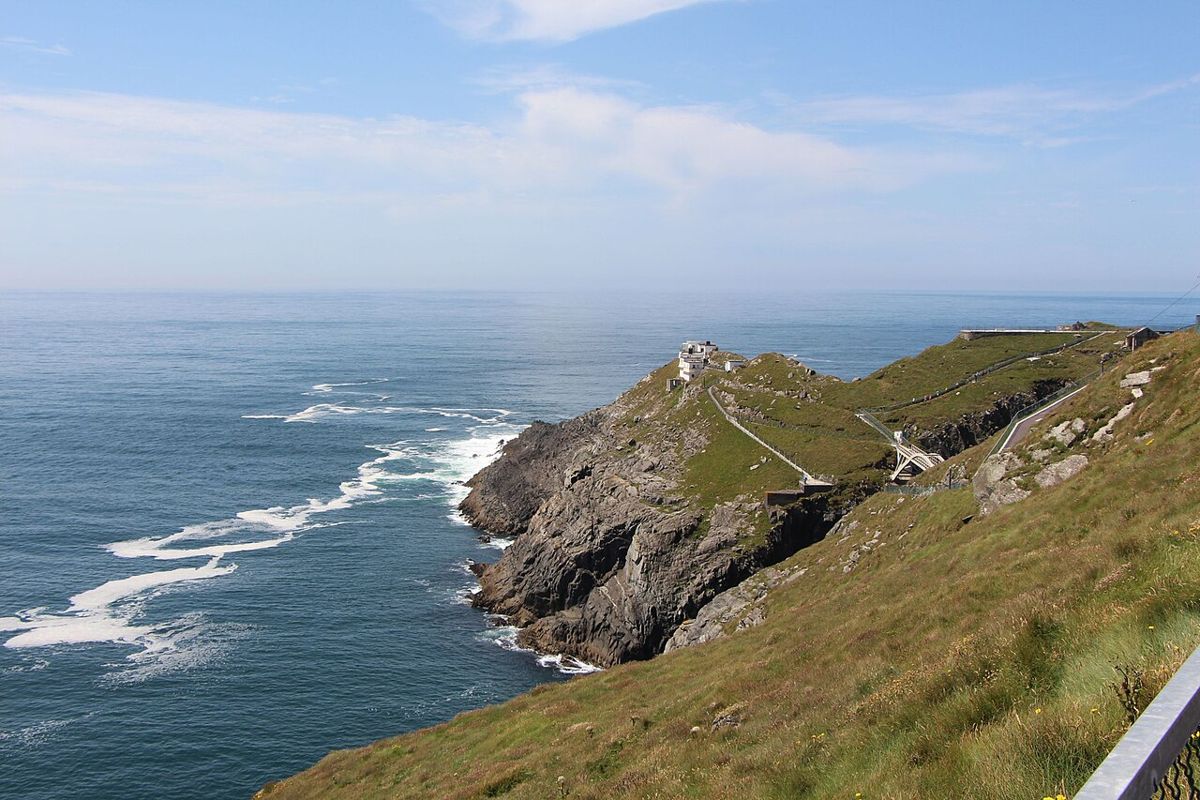
Look at the channel and the relationship between the mainland approach and the station, following the managed visitor route.
attraction · County Cork
Give Mizen Head time for both the approach across the bridge and the signal-station story. The sea is the setting, but the effort to warn shipping and the people who worked here give the visit its purpose.
Source-based editorial assessment · out of 10
The combination of bridge, ocean and maritime interpretation makes a substantial main visit. It suits a traveller who wants a story as well as a viewpoint and can allow a full stop before deciding what else belongs in the day.
This is a managed, ticketed site. The operator sells tickets on arrival and locks the whole site when closed; the bridge is not visible from the car park. Check path restrictions and ask about the specific access your group needs. Use the signed Mizen Head Signal Station entrance and the operator’s Eircode P81 NY52. The Goleen information centre is a different location. Confirm conditions and the return drive before leaving your base.
Best for: Bridge, maritime history and an exposed Atlantic setting
Planning blend: 8.0 / 10 · Sustainability: unrated
Experience considers the reward and depth of this particular stop. Visitor friendliness considers practical ease: arrival, booking, physical demands, cost and flexibility. These are editorial judgements based on linked information, not visitor averages or a claim of a personal visit.
Assessed . Supporting guide source-check date: 2026-10-19. The assessment date does not mean every linked source was newly checked.
The blend uses (40 × Experience + 55 × Visitor friendliness) ÷ 95, rounded to the nearest half point. Missing sustainability does not affect it. A missing current visit score is not zero and has no blend.
A high score is not a safety clearance or a guarantee of step-free access. Food-stop scores concern the planned visit, not an untested meal. Read the scale and scope · Suggest a correction.
From research
The combination of bridge, ocean and maritime interpretation makes a substantial main visit. It suits a traveller who wants a story as well as a viewpoint and can allow a full stop before deciding what else belongs in the day.
Before you go: This is a managed, ticketed site. The operator sells tickets on arrival and locks the whole site when closed; the bridge is not visible from the car park. Check path restrictions and ask about the specific access your group needs.
Place highlights
Look at the channel and the relationship between the mainland approach and the station, following the managed visitor route.
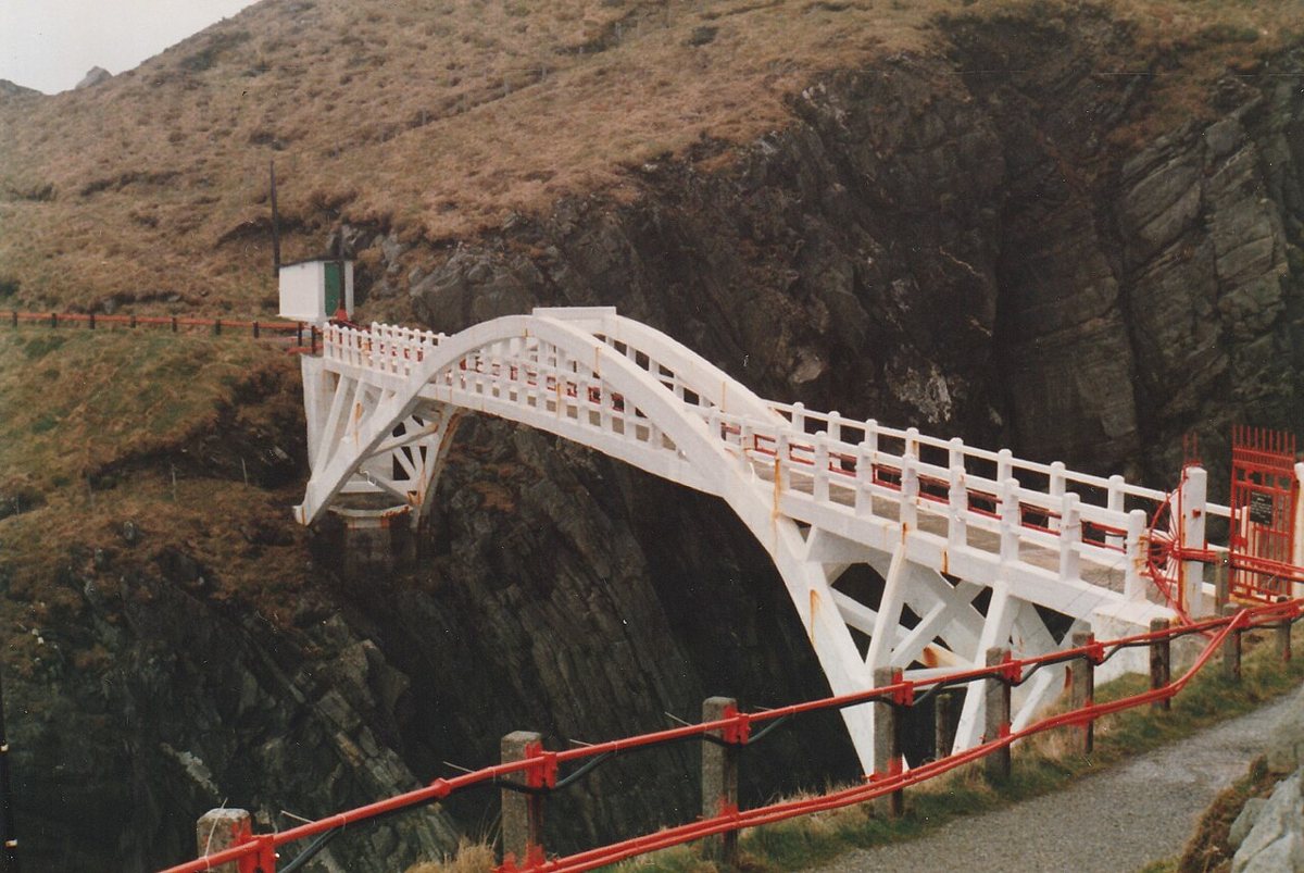
Use the displays to connect the machinery, buildings and surrounding sea rather than collecting only the bridge photograph.
The story behind the visit
On 22 December 1908, SS Irada was wrecked near Mizen Head. The station’s published wreck list records a cargo of 22,000 cotton bales and six deaths. Its Irish Lights history credits the resident engineer and workmen with saving 63 people. The station was still being built: the fog signal was established on 3 May 1909. That sequence makes the landscape a story about human judgement and rescue as well as engineering. Source ↗
The surviving visitor route lets you consider the practical problem behind a warning station: people, equipment and supplies had to reach an exposed site while ships relied on navigational information beyond the shore. Take the bridge and the interpreted spaces together. The shipwreck history is not an invitation to seek wreckage, approach cliff edges or leave the permitted paths; the historical sources describe an event, not a present-day access route. Source ↗
Load the privacy-enhanced YouTube player to watch. YouTube receives connection information when you load it.
Dated visitor information
Signal station P81 NY52; Goleen eCentre P81 VR99 is separate. Official visitor information ↗
Source information checked 19 October 2026; confirm current access and visitor arrangements with the operator.
No. The operator says admission tickets are bought at its desk on arrival. This website makes no booking. Source ↗
The operator says the whole site is locked when closed and the bridge cannot be seen from the car park. Plan within confirmed opening. Source ↗
We use Irada, as in Mizen’s own shipwreck list and its reproduced Irish Lights history. Those linked documents are the basis of this story. Source ↗
Nearby options
Distances are straight-line estimates between catalogue pins, within 30 km. Roads, entrances and walking routes may be much longer. Known closed places are excluded; inclusion does not confirm opening today.
attraction · 2.4 km
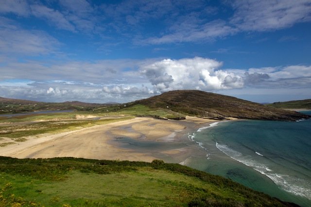
Choose Barleycove for an open beach visit after a more structured stop. A walk, a pause on the sand and time looking back at the dunes can give the day a different rhythm without requiring another ticket.
Open place page →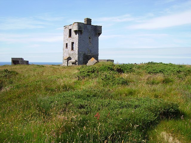
attraction · 3.5 km
Choose Brow Head for a more exposed landscape visit, with the former signalling structures providing context. Make the approach and visibility part of the decision; this is not simply another managed viewpoint…
Open place page →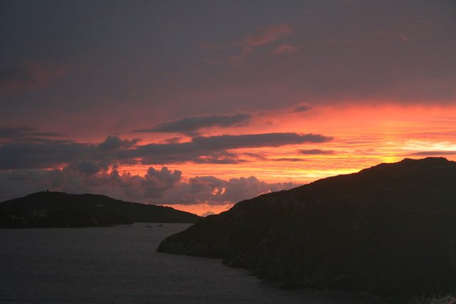
attraction · 7.1 km
Choose Crookhaven for a harbour pause after the exposed parts of the peninsula. Give yourself time to look at boats and the relationship between the water and the village, rather than making it only a place to…
Open place page →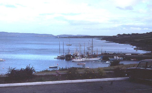
attraction · 20.6 km
Use Schull as a deliberate first part of a peninsula day: a harbour look, a short town browse and a chance to organise the onward journey. It gives the outing a gentler beginning before more exposed coastal…
Open place page →An accessible visitor account found the Atlantic swell more memorable than the famous bridge itself. Other public questions highlight steps beyond the bridge. Those observations support protecting time for the setting and checking access, but dramatic weather is not a reason to disregard the operator’s restrictions.
Original paraphrases of public visitor accounts. These are limited perspectives, not a representative survey or a claim of our own visit. Use current operator information for access and opening.
Location & access
Suggested visit allowance: about 120 minutes. Allow additional time for transfers and breaks.
51.45020, -9.81960 · Reference point; confirm the correct entrance and access. Map © OpenStreetMap contributors.
Source-based place brief. A catalogue reference is not a live availability check or a report of a personal visit.
Visitor details checked 19 October 2026. Page content updated 2026-10-20.