Banba’s Crown area
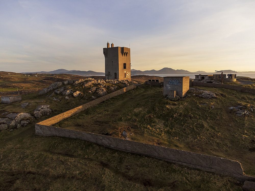
Begin with the authorised visitor area and interpretation. Its historic structures provide a second focus when the coastline has already captured your attention.
coast · Donegal
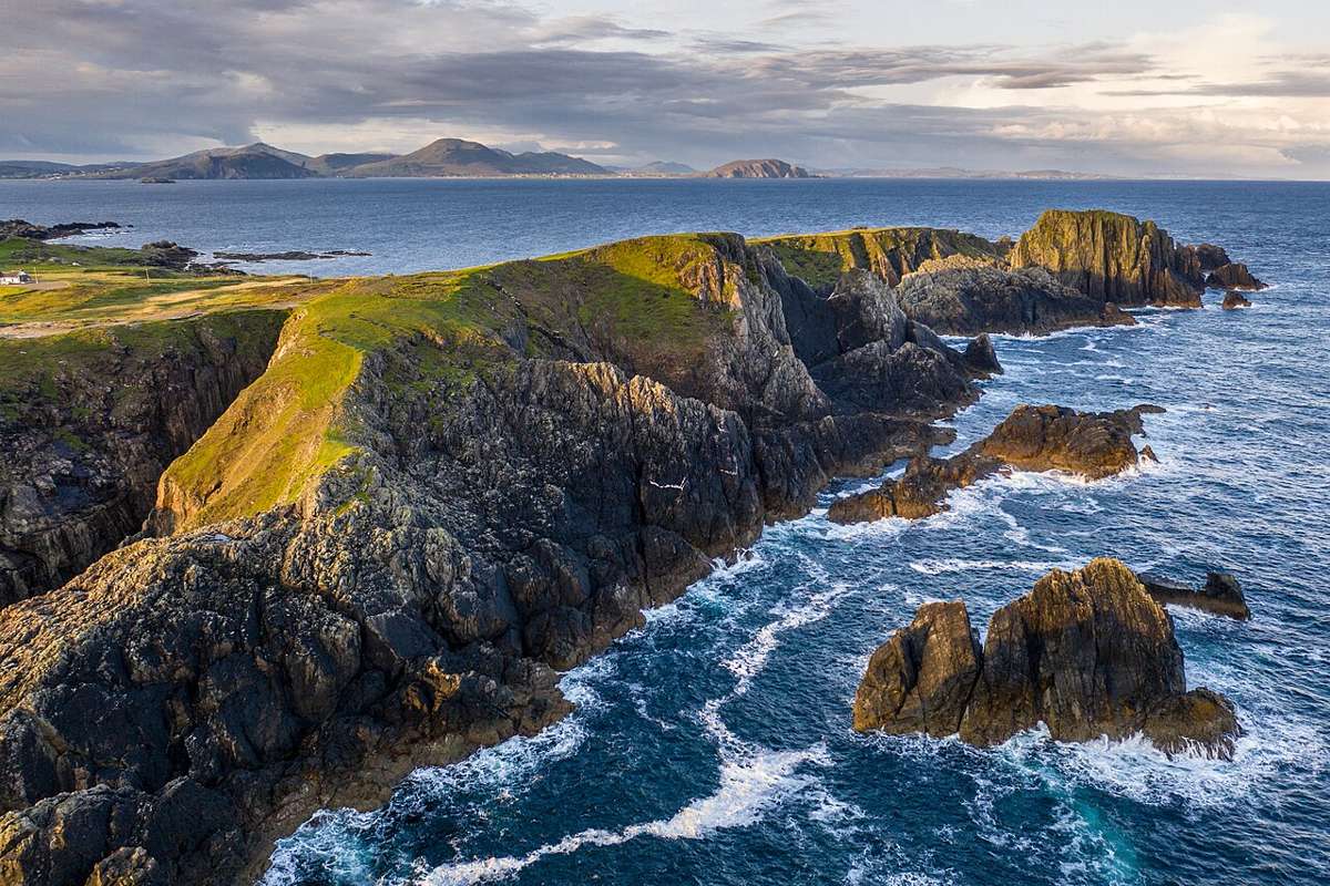
Malin Head is a place to understand distance: the Atlantic fills the outlook, while low headland features and scattered buildings give scale to the exposure. The geographical label draws people here, but the coast needs time beyond a sign photograph. Come with a shorter plan that can adapt to wind and visibility.
Source-based editorial assessment · out of 10
Choose it as the main northern point of an Inishowen day, not as a quick add-on to every Donegal route. If the journey leaves no time to stop and look, reduce the rest of the peninsula checklist.
Approach roads are rural and parking is limited. The headland is exposed; calm conditions elsewhere in Donegal do not establish suitable conditions here.
Best for: Banba’s Crown area
Planning blend: 7.5 / 10 · Sustainability: unrated
Experience considers the reward and depth of this particular stop. Visitor friendliness considers practical ease: arrival, booking, physical demands, cost and flexibility. These are editorial judgements based on linked information, not visitor averages or a claim of a personal visit.
Assessed . Supporting guide source-check date: 2026-10-19. The assessment date does not mean every linked source was newly checked.
The blend uses (40 × Experience + 55 × Visitor friendliness) ÷ 95, rounded to the nearest half point. Missing sustainability does not affect it. A missing current visit score is not zero and has no blend.
A high score is not a safety clearance or a guarantee of step-free access. Food-stop scores concern the planned visit, not an untested meal. Read the scale and scope · Suggest a correction.
From research
Choose it as the main northern point of an Inishowen day, not as a quick add-on to every Donegal route. If the journey leaves no time to stop and look, reduce the rest of the peninsula checklist.
Know before you book: Approach roads are rural and parking is limited. The headland is exposed; calm conditions elsewhere in Donegal do not establish suitable conditions here.
Place highlights
Begin with the authorised visitor area and interpretation. Its historic structures provide a second focus when the coastline has already captured your attention.
Use permitted paths and viewing positions. A dramatic sea view does not justify leaving the route or approaching edges in gusty weather.
The story behind the visit
The headland’s history includes navigation, communications and wartime observation as well as its present touring role. Those human attempts to read and use an exposed place make a more interesting visit than a northernmost-point claim alone. Source ↗
Dated visitor information
Follow signed Malin Head routes through Inishowen to the current public arrival area. The headland pin is not a guarantee of parking or the start of a particular coastal walk. Official visitor information ↗
Source information checked 19 October 2026; confirm current access and visitor arrangements with the operator.
It can be, but the drive deserves a realistic place in an Inishowen day. Allow enough flexibility for the actual weather and parking situation. Source ↗
Not necessarily. Its exposed position can be much windier than sheltered locations nearby. Source ↗
Nearby options
Distances are straight-line estimates between catalogue pins, within 30 km. Roads, entrances and walking routes may be much longer. Known closed places are excluded; inclusion does not confirm opening today.

heritage · 20.1 km
Fanad is immediately recognisable from its white lighthouse above dark rock and open water. A tour adds a reason to look beyond the façade: the purpose of the light, the keepers’ work and the coast’s maritime…
Open place page →Accessible reviews repeatedly mention strong wind, sudden showers, limited parking and narrow approach roads alongside praise for the views. These practical observations are useful planning context; individual enjoyment of rough weather should not be read as encouragement to continue in unsuitable conditions.
Original paraphrases of public visitor accounts. These are limited perspectives, not a representative survey or a claim of our own visit. Use current operator information for access and opening.
Location & access
Approach roads are rural and parking is limited. The headland is exposed; calm conditions elsewhere in Donegal do not establish suitable conditions here.
55.38100, -7.37300 · Reference point; confirm the correct entrance and access. Map © OpenStreetMap contributors.
Source-based place brief. A catalogue reference is not a live availability check or a report of a personal visit.
Visitor details checked 19 October 2026. Page content updated 2026-10-20.