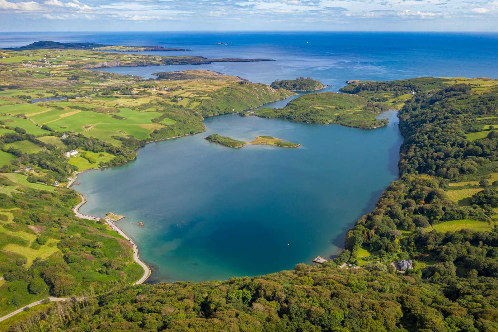
A sea lough in a sheltered setting
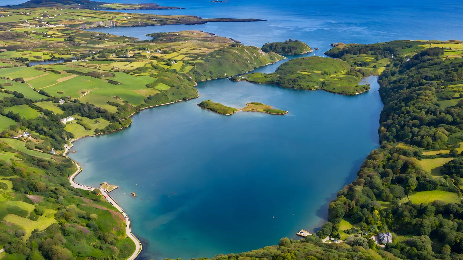
Look at the relationship between the water, surrounding slopes and its seaward connection. The NPWS describes a range of habitats supporting unusually diverse plants and animals.
nature · Cork
Lough Hyne’s enclosed-looking water can make the visit feel like a simple lake stop, but this is a protected sea lough with an unusually varied marine environment. Start with the shore setting and its interpretation; decide separately whether you want a hill walk or a specialist water activity.
Source-based editorial assessment · out of 10
The protected marine environment and the contrast between a shore pause and the wooded hill viewpoint offer unusual nature interest in a compact setting. The indoor explanation is in Skibbereen, so understanding the ecology may require a separate stop.
A short shore-led visit can be kept modest, but the optional viewpoint entails a sustained climb and the independent walking account describes limited roadside parking. Fixed opening, a shore tariff and a complete step-free route were not established; water activities have separate restrictions.
Best for: Marine ecology and a separate woodland viewpoint walk
Planning blend: 7.0 / 10 · Sustainability: unrated
Source-based editorial judgements, not visitor averages or a claim of a personal visit. Experience, visitor friendliness and the rating method.
Assessed . Supporting guide source-check date: 2026-10-21. The assessment date does not mean every linked source was newly checked.
A high score is not a safety clearance or a guarantee of step-free access. Food-stop scores concern the planned visit, not an untested meal. Read the scale and scope · Suggest a correction.
From research
Choose Lough Hyne for a quiet nature-led stop, with an optional Knockomagh climb for a different perspective. The useful choice is between a short waterside visit and a longer walking outing, rather than trying to include every activity in one allowance.
Know before you book: This is a nature reserve, not a managed swimming attraction or a promise of safe water access. The map pin represents the lough and is not a verified entrance, launch point or parking bay. Follow local notices and do not enter adjoining private land without permission.
Place highlights
Look at the relationship between the water, surrounding slopes and its seaward connection. The NPWS describes a range of habitats supporting unusually diverse plants and animals.
The neighbouring reserve includes oak and mixed broadleaf woodland. The heritage centre describes a trail to the hilltop, with a revised northern section; use current notices rather than assuming an older leaflet is exact.
Skibbereen Heritage Centre has an exhibition explaining the lough’s ecology and history. This is a separate indoor stop in Skibbereen, not an exhibition building beside the shore.
The story behind the visit
NPWS records the reserve’s establishment in 1981. Skibbereen Heritage Centre explains how the lough became a long-running focus for marine research. A shore photograph shows only the surface of the habitats that make the place important. Source ↗
The heritage centre’s Lough Hyne exhibition adds an indoor explanation of the saltwater environment, local history and research. Consider it before a field visit if understanding the place matters more than adding another viewpoint. Source ↗
Dated visitor information
Plan the actual approach from Skibbereen or your accommodation and identify permitted parking locally. The published NPWS coordinates locate the reserve, not its entrance. Do not block narrow roads or assume a place pin establishes a public path around the entire lough. Official visitor information ↗
Source information checked 21 October 2026; confirm current access and visitor arrangements with the operator.
No. NPWS identifies it as a sea lough, and Skibbereen Heritage Centre explains its saltwater environment. Treat water activities as a separate decision with their own conditions. Source ↗
No. It is an optional hill outing. The heritage centre says the walk takes about an hour depending on fitness and notes a revised northern section; allow extra time and follow the current route information. Source ↗
No. NPWS requires a permit and limits diving to protect the reserve. Consult the current conditions directly; this sightseeing guide is not a permit or a water-safety assessment. Source ↗
Nearby options
Distances are straight-line estimates between catalogue pins, within 30 km. Roads, entrances and walking routes may be much longer. Known closed places are excluded; inclusion does not confirm opening today.
heritage · 16.3 km
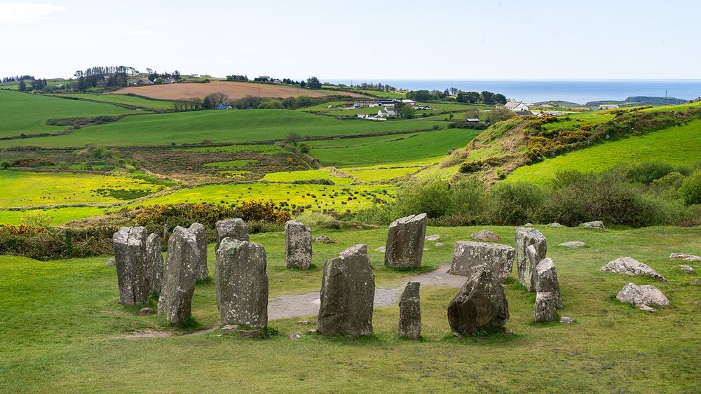
Drombeg is small enough to take in quickly and old enough to deserve the opposite. Stand back from the stones first, so the circle, slope and surrounding country become one scene. Then look for the nearby hut…
Open place page →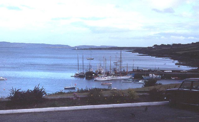
attraction · 17.4 km
Use Schull as a deliberate first part of a peninsula day: a harbour look, a short town browse and a chance to organise the onward journey. It gives the outing a gentler beginning before more exposed coastal…
Open place page →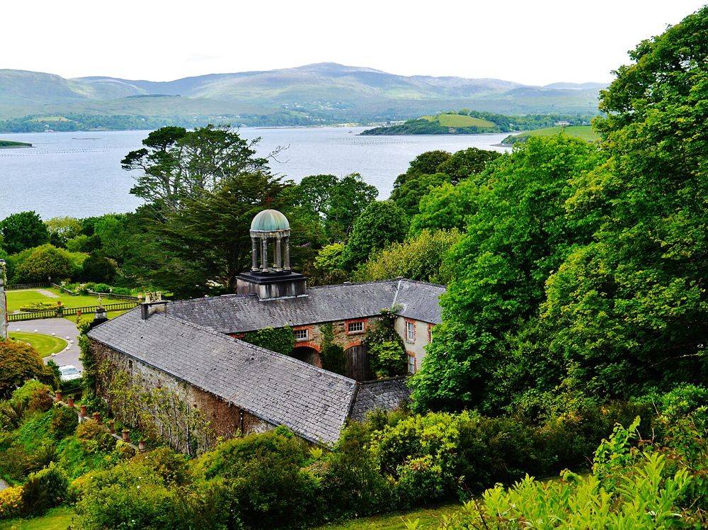
heritage · 22.6 km
At Bantry House, the best view is also a clue to the estate’s design: house, terraces and bay are arranged to be read together. Look back as you move through the garden. The rising ground changes the…
Open place page →
attraction · 29.4 km
Choose Crookhaven for a harbour pause after the exposed parts of the peninsula. Give yourself time to look at boats and the relationship between the water and the village, rather than making it only a place to…
Open place page →A walker reporting a March 2026 visit appreciated the constructed woodland trail and the views gained from a relatively small hill. Their account also makes clear that the climb begins quickly and continues uphill, with switchbacks and places to pause. They described only a small roadside parking area. These observations concern their Knockomagh outing, not a step-free shore route, guaranteed parking capacity or conditions on your date.
Original paraphrases of public visitor accounts. These are limited perspectives, not a representative survey or a claim of our own visit. Use current operator information for access and opening.
Location & access
This is a nature reserve, not a managed swimming attraction or a promise of safe water access. The map pin represents the lough and is not a verified entrance, launch point or parking bay. Follow local notices and do not enter adjoining private land without permission.
51.50100, -9.29900 · Reference point; confirm the correct entrance and access. Map © OpenStreetMap contributors.
Source-based place brief. A catalogue reference is not a live availability check or a report of a personal visit.
Visitor details checked 21 October 2026. Page content updated 2026-10-21.