Stone enclosure
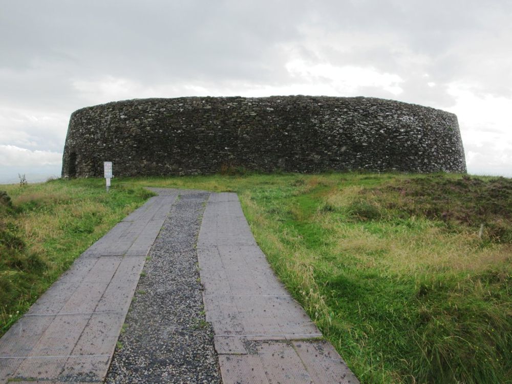
Look at the circular form and the scale of its masonry from the permitted ground. It has been altered and restored, so the current shape is not an untouched early-medieval survival.
heritage · Donegal
Grianán of Aileach places a circular stone fort above a wide spread of water and land between Lough Foyle and Lough Swilly. The view makes the choice of site understandable before you know its history. Inside, the stone enclosure gives the visit a very different scale from the exposed hill outside.
Source-based editorial assessment · out of 10
Choose it for a compact combination of history and a broad outlook near the Inishowen approach. Clear visibility adds much of the reward, so keep the timing flexible instead of treating the fort as an obligatory stop in low cloud.
The hilltop is exposed and the monument’s internal steps are a physical constraint. A road approach does not establish safe access to every wall terrace.
Best for: Stone enclosure
Planning blend: 7.5 / 10 · Sustainability: unrated
Experience considers the reward and depth of this particular stop. Visitor friendliness considers practical ease: arrival, booking, physical demands, cost and flexibility. These are editorial judgements based on linked information, not visitor averages or a claim of a personal visit.
Assessed . Supporting guide source-check date: 2026-10-19. The assessment date does not mean every linked source was newly checked.
The blend uses (40 × Experience + 55 × Visitor friendliness) ÷ 95, rounded to the nearest half point. Missing sustainability does not affect it. A missing current visit score is not zero and has no blend.
A high score is not a safety clearance or a guarantee of step-free access. Food-stop scores concern the planned visit, not an untested meal. Read the scale and scope · Suggest a correction.
From research
Choose it for a compact combination of history and a broad outlook near the Inishowen approach. Clear visibility adds much of the reward, so keep the timing flexible instead of treating the fort as an obligatory stop in low cloud.
Know before you book: The hilltop is exposed and the monument’s internal steps are a physical constraint. A road approach does not establish safe access to every wall terrace.
Place highlights
Look at the circular form and the scale of its masonry from the permitted ground. It has been altered and restored, so the current shape is not an untouched early-medieval survival.
In suitable visibility, look for the relationship between the surrounding water and inland routes. The setting gives the fort’s political importance a practical dimension.
The story behind the visit
The fort is associated with the kings of Aileach and has a long history of destruction, memory and nineteenth-century restoration. Read the reconstruction as part of the story rather than imagining every visible stone stands exactly where it was first laid. Source ↗
Dated visitor information
Use the signed approach to the fort on Greenan Mountain near Burt. Follow local parking and access directions rather than stopping on the hill road at an approximate coordinate. Official visitor information ↗
Source information checked 19 October 2026; confirm current access and visitor arrangements with the operator.
No. Significant restoration is part of its history. The current structure needs to be understood alongside that later work. Source ↗
No. Appreciate the enclosure and setting from suitable permitted ground. Internal steps are not a requirement for a worthwhile stop. Source ↗
Nearby options
Distances are straight-line estimates between catalogue pins, within 30 km. Roads, entrances and walking routes may be much longer. Known closed places are excluded; inclusion does not confirm opening today.
heritage · 7.5 km
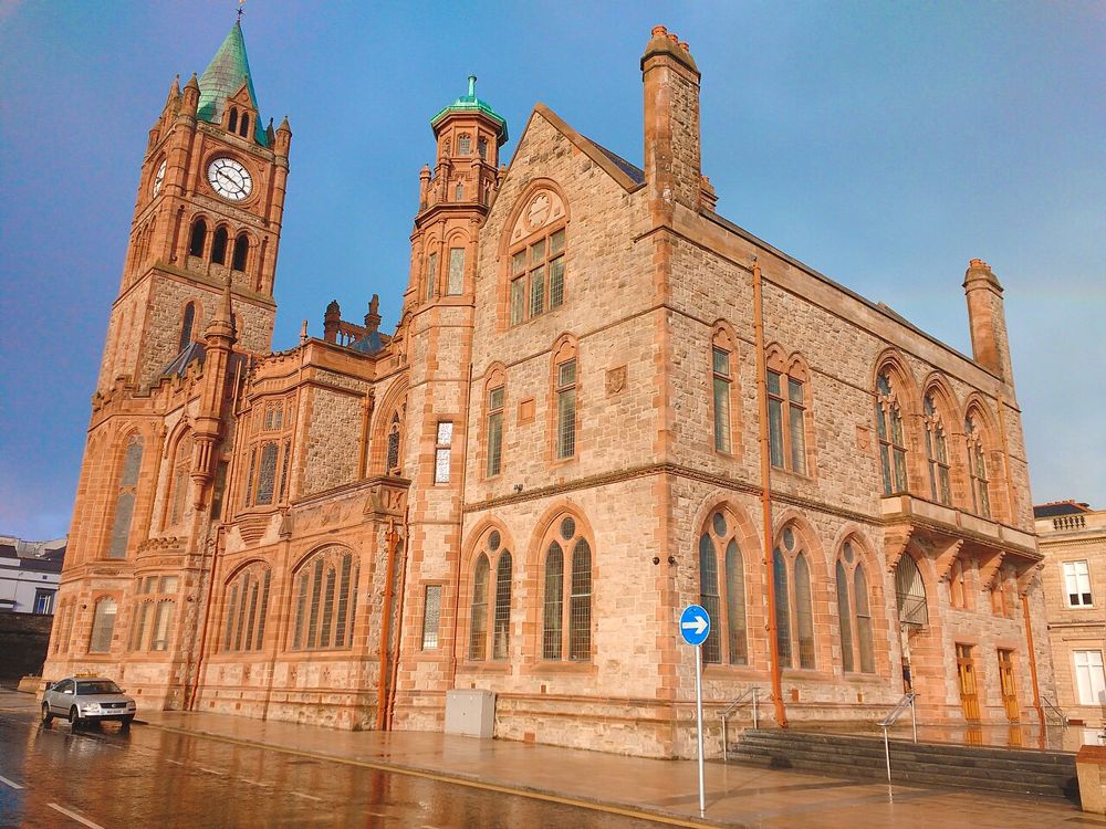
The Guildhall is an easy building to admire from the square and a more rewarding one to enter. Its stained glass, organ and civic rooms add texture to a Derry day dominated by the walls and river.
Open place page →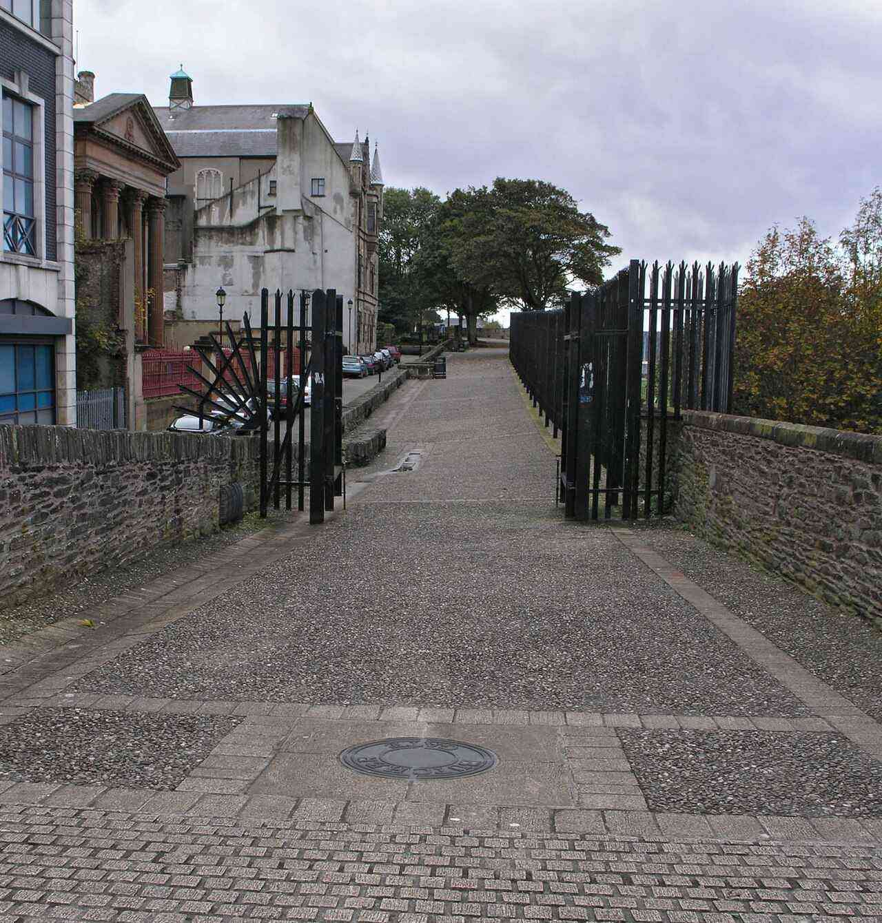
city · 8.3 km
Derry offers a compact city visit organised around its walls, river and layered history. A considered walk and one chosen museum or guided tour make a coherent first day.
Open place page →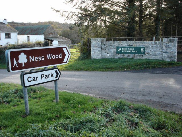
nature · 18.3 km
Ness is a woodland-and-river outing where your starting point matters. Different approaches lead to different gradients, and the waterfall walk should not be confused with every easy-looking path around the…
Open place page →Accessible accounts praise how the panorama explains the fort’s location, while noting wind on the exposed hill. This is a small sample. It supports choosing a clear-weather window, without making the steps or wall terraces a recommendation for every visitor.
Original paraphrases of public visitor accounts. These are limited perspectives, not a representative survey or a claim of our own visit. Use current operator information for access and opening.
Location & access
The hilltop is exposed and the monument’s internal steps are a physical constraint. A road approach does not establish safe access to every wall terrace.
55.02380, -7.42760 · Reference point; confirm the correct entrance and access. Map © OpenStreetMap contributors.
Source-based place brief. A catalogue reference is not a live availability check or a report of a personal visit.
Visitor details checked 19 October 2026. Page content updated 2026-10-20.