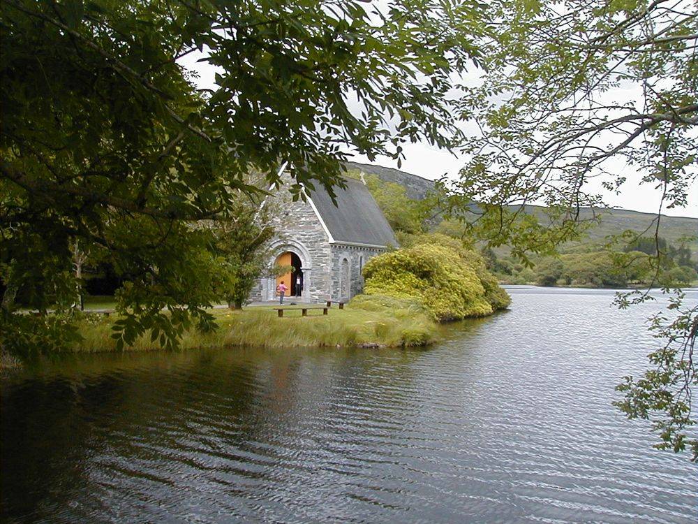
Lake and oratory
The small church on the lake island is a separate religious space. Approach quietly and respect services or weddings rather than treating the doorway as a permanent photo set.
nature · Cork
Gougane Barra begins with the familiar little oratory beside the lake, but the forest valley behind it is what turns a photograph into an outing. Keep the lakeside pause and the walking decision separate. There is a real difference between admiring the water and setting off uphill into Coomroe.
Source-based editorial assessment · out of 10
Make this a main West Cork nature stop if you have time for a marked walk. A short visit still works for the lake, but people who only hurry to the chapel miss the wooded basin that gives the place its sense of enclosure.
Read Coillte’s current trail grades before leaving the car. Short distance does not imply easy ground: some short routes are classified strenuous.
Best for: Lake and oratory
Planning blend: 8.0 / 10 · Sustainability: unrated
Experience considers the reward and depth of this particular stop. Visitor friendliness considers practical ease: arrival, booking, physical demands, cost and flexibility. These are editorial judgements based on linked information, not visitor averages or a claim of a personal visit.
Assessed . Supporting guide source-check date: 2026-10-19. The assessment date does not mean every linked source was newly checked.
The blend uses (40 × Experience + 55 × Visitor friendliness) ÷ 95, rounded to the nearest half point. Missing sustainability does not affect it. A missing current visit score is not zero and has no blend.
A high score is not a safety clearance or a guarantee of step-free access. Food-stop scores concern the planned visit, not an untested meal. Read the scale and scope · Suggest a correction.
From research
Make this a main West Cork nature stop if you have time for a marked walk. A short visit still works for the lake, but people who only hurry to the chapel miss the wooded basin that gives the place its sense of enclosure.
Know before you book: Coillte lists several trails with different grades, from a short multi-access nature trail to strenuous mountain routes. Choose from the current signs and map, rather than assume every loop shares the difficulty of the lakeside approach.
Place highlights
The small church on the lake island is a separate religious space. Approach quietly and respect services or weddings rather than treating the doorway as a permanent photo set.
A forest route lets you notice the stream, wet rock and steep sides of the basin. Pick a trail suited to conditions so there is time to look instead of simply finish.
The story behind the visit
The landscape is associated with St Finbarr and with the early course of the River Lee. Coillte’s forest park opened in 1966; the managed trails now provide several ways to experience the same enclosed valley. Source ↗
Dated visitor information
Follow the signed Gougane Barra approach from the Ballingeary area and use designated parking. The pin gives lake-and-forest orientation, not the start of every trail. Official visitor information ↗
Source information checked 19 October 2026; confirm current access and visitor arrangements with the operator.
No. Coillte lists shorter and less demanding choices as well as strenuous routes. Choose the marked option that suits your group. Source ↗
The oratory stands by the lake on the approach. Visiting it and completing a forest walk are separate decisions, especially during religious or private events. Source ↗
Nearby options
Distances are straight-line estimates between catalogue pins, within 30 km. Roads, entrances and walking routes may be much longer. Known closed places are excluded; inclusion does not confirm opening today.
nature · 18.3 km
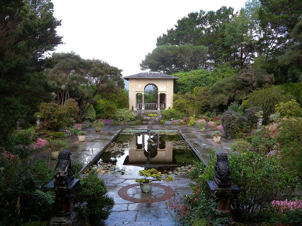
Garinish feels like a garden briefly detached from the mainland. A boat from Glengarriff brings you to formal planting, sheltered paths and views that borrow the mountains across the water. The trip works best…
Open place page →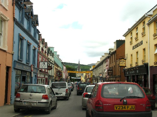
attraction · 18.8 km
Choose Kenmare as the unhurried town portion of a scenic drive: park legally, have time to explore and decide whether a meal fits before the return. It is a destination in its own right, not merely a turning…
Open place page →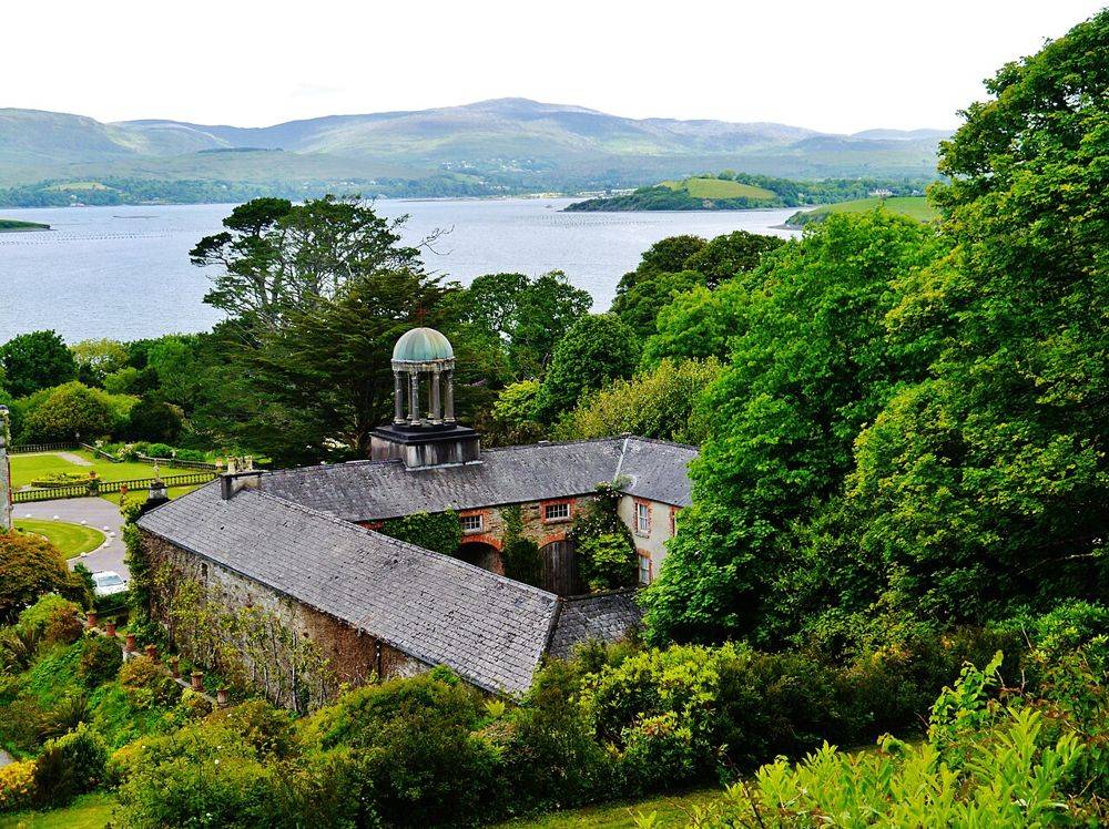
heritage · 20.7 km
At Bantry House, the best view is also a clue to the estate’s design: house, terraces and bay are arranged to be read together. Look back as you move through the garden. The rising ground changes the…
Open place page →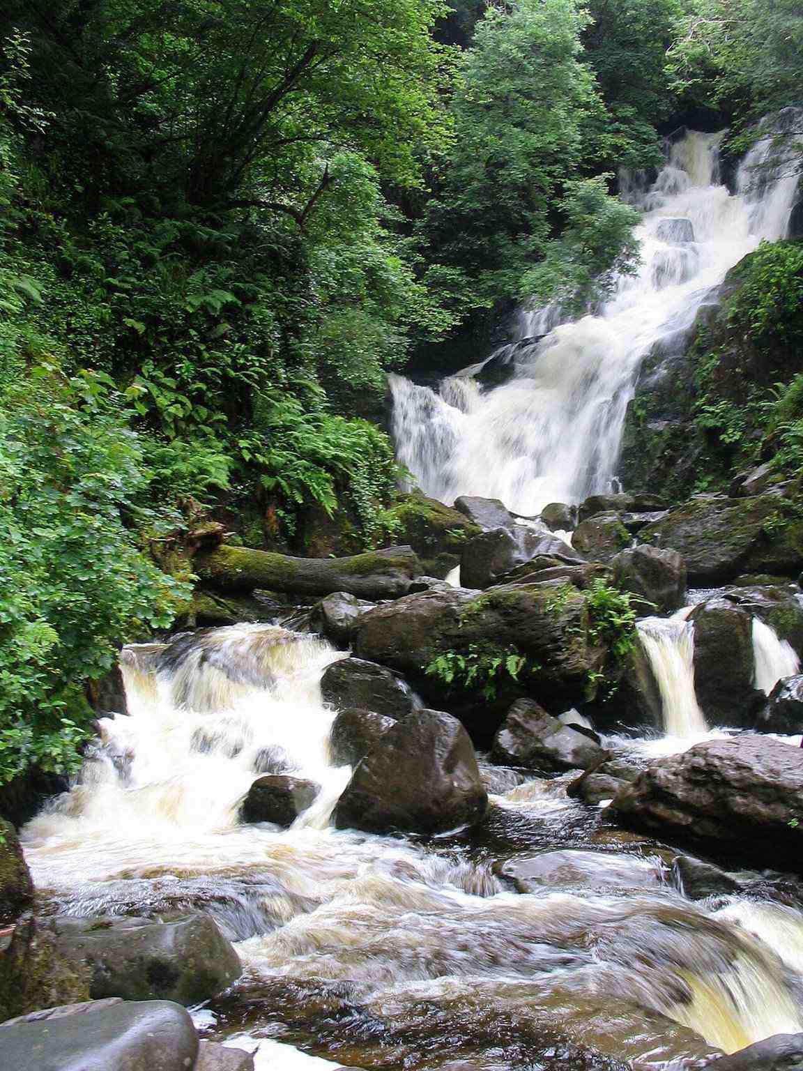
attraction · 22.5 km
Choose Torc for falling water and woodland atmosphere, with the option to keep the outing modest. A waterfall stop, a longer woodland circuit and a Torc Mountain summit walk are three different decisions.
Open place page →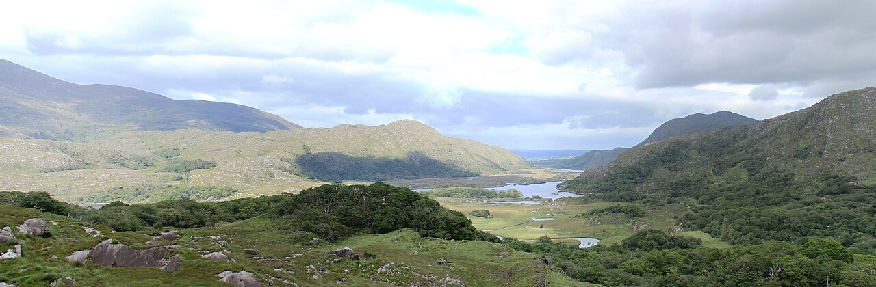
attraction · 23.6 km
Choose this viewpoint for the broader relationship between water, wooded slopes and mountains. It is a scenic pause on a driving day, not a substitute for walking inside the park.
Open place page →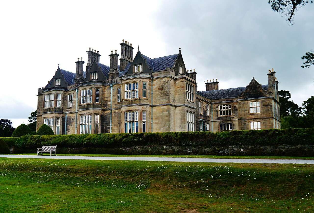
attraction · 23.6 km
Visit the house if you want a closer look at the domestic world behind the estate landscape. Choose it deliberately: the interior is a ticketed visit, while the gardens are a separate outdoor experience.
Open place page →An older first-hand account finds the forest drive and choice of moderate or strenuous walks more substantial than the chapel photograph suggests. Because that account dates from 2012, use it for the character of the outing, not present-day access. Current route choices come from Coillte.
Original paraphrases of public visitor accounts. These are limited perspectives, not a representative survey or a claim of our own visit. Use current operator information for access and opening.
Location & access
Coillte lists several trails with different grades, from a short multi-access nature trail to strenuous mountain routes. Choose from the current signs and map, rather than assume every loop shares the difficulty of the lakeside approach.
51.83900, -9.31800 · Reference point; confirm the correct entrance and access. Map © OpenStreetMap contributors.
Source-based place brief. A catalogue reference is not a live availability check or a report of a personal visit.
Visitor details checked 19 October 2026. Page content updated 2026-10-20.