Woodland routes
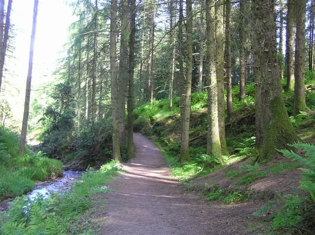
Use the current route signs to choose a walk that fits your group. Look for changes in cover and views rather than treating the forest as one uniform path.
nature · Tyrone · Northern Ireland
Gortin Glen offers a forest day with choices rather than one prescribed hike. The landscape sits within the Sperrins, but the managed visitor area can be a different proposition from heading into open upland terrain.
Source-based editorial assessment · out of 10
Choose a waymarked walk, family visit or cycling plan deliberately. Do not mix a pedestrian route with a mountain-bike trail just because both appear on the park map.
Follow signage separating walking and bike uses. Confirm café and toilets if needed; a review praising facilities describes that visit, not a guarantee of today’s provision.
Best for: A managed forest recreation site with walking and separate cycling facilities; weather and forestry notices can alter access.
Planning blend: 8.0 / 10 · Sustainability: unrated
Experience considers the reward and depth of this particular stop. Visitor friendliness considers practical ease: arrival, booking, physical demands, cost and flexibility. These are editorial judgements based on linked information, not visitor averages or a claim of a personal visit.
Assessed . Supporting guide source-check date: 2026-10-19. The assessment date does not mean every linked source was newly checked.
The blend uses (40 × Experience + 55 × Visitor friendliness) ÷ 95, rounded to the nearest half point. Missing sustainability does not affect it. A missing current visit score is not zero and has no blend.
A high score is not a safety clearance or a guarantee of step-free access. Food-stop scores concern the planned visit, not an untested meal. Read the scale and scope · Suggest a correction.
From research
Choose a waymarked walk, family visit or cycling plan deliberately. Do not mix a pedestrian route with a mountain-bike trail just because both appear on the park map.
Know before you book: A managed forest recreation site with walking and separate cycling facilities; weather and forestry notices can alter access.
Place highlights
Use the current route signs to choose a walk that fits your group. Look for changes in cover and views rather than treating the forest as one uniform path.
Where the landscape opens, pause to read the surrounding hills. A viewpoint does not require committing to a higher mountain route.
The story behind the visit
The forest park brings public recreation into the Sperrin landscape. Its developed visitor facilities sit alongside working and managed woodland, which explains why temporary access controls matter. Source ↗
Dated visitor information
Use the signed Gortin Glen Forest Park arrival north of Omagh. The village, scenic roads and main visitor area are different navigation choices. Official visitor information ↗
Source information checked 19 October 2026; confirm current access and visitor arrangements with the operator.
Follow the current signs and designated use; do not assume all trails are shared. Source ↗
Not automatically. Choose a managed forest route suited to your experience and conditions. Source ↗
Nearby options
Distances are straight-line estimates between catalogue pins, within 30 km. Roads, entrances and walking routes may be much longer. Known closed places are excluded; inclusion does not confirm opening today.
attraction · 8.0 km
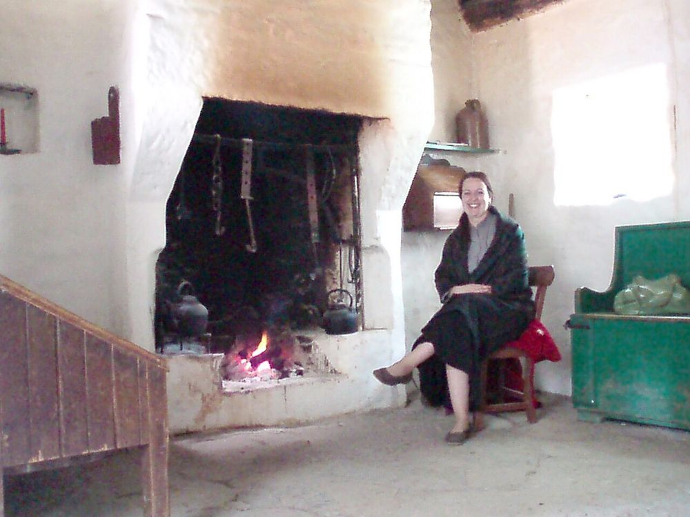
The Ulster American Folk Park follows emigration as a journey through places. You move from Ulster buildings towards a ship and an American landscape, which makes a large historical subject feel physical and…
Open place page →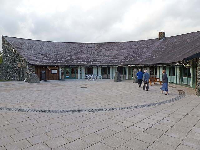
attraction · 12.9 km
An Creagán is useful when you want to connect the Sperrins landscape with local life, rather than only driving past it. The heritage centre and surrounding walks offer a starting point for a smaller, grounded…
Open place page →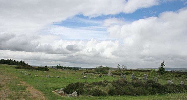
heritage · 18.3 km
Beaghmore is quiet in scale but rich in detail: small stones, circles, cairns and alignments spread across an open setting. It asks you to look at relationships, not wait for one towering monument.
Open place page →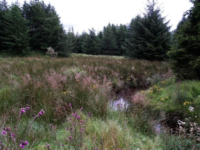
attraction · 19.1 km
OM turns a forest visit towards the sky. The observatory and exhibition give a structured introduction to astronomy, while Davagh’s darker surroundings explain why this location matters after sunset.
Open place page →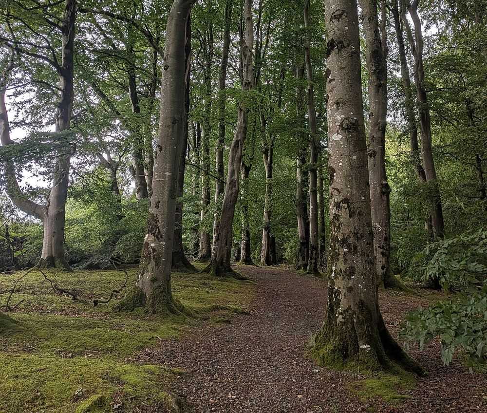
nature · 26.8 km
Drum Manor is a straightforward woodland choice near Cookstown, with paths and traces of a former estate rather than a single major monument. It suits a quieter walk between more structured heritage visits.
Open place page →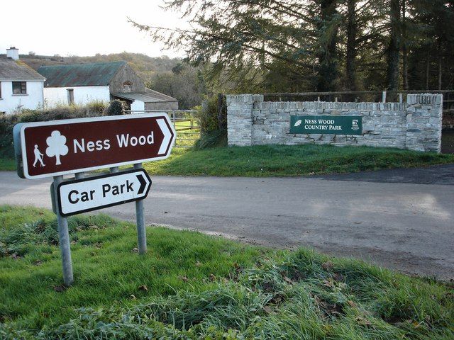
nature · 27.7 km
Ness is a woodland-and-river outing where your starting point matters. Different approaches lead to different gradients, and the waterfall walk should not be confused with every easy-looking path around the…
Open place page →Accessible reviews appreciate the walking choices and developed family facilities, including reports of useful parking and toilets. Those details make the park promising for a flexible day, but should still be checked directly before organising a group around a particular service.
Original paraphrases of public visitor accounts. These are limited perspectives, not a representative survey or a claim of our own visit. Use current operator information for access and opening.
Location & access
A managed forest recreation site with walking and separate cycling facilities; weather and forestry notices can alter access.
54.69200, -7.22400 · Reference point; confirm the correct entrance and access. Map © OpenStreetMap contributors.
Source-based place brief. A catalogue reference is not a live availability check or a report of a personal visit.
Visitor details checked 19 October 2026. Page content updated 2026-10-20.