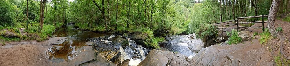
River gorge
Let the river guide the visit, keeping to the marked path.
nature · Laois
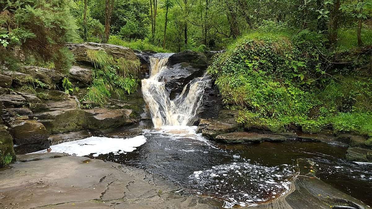
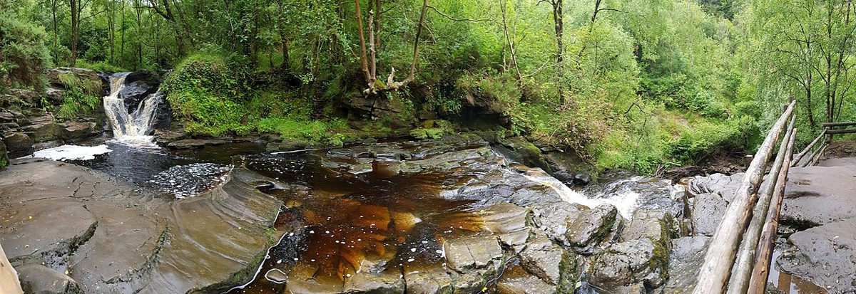
The River Barrow is still young here, moving through wooded rock and small cascades rather than the broad lowland river seen farther south. The waterfall walk gives the Slieve Blooms an intimate scale.
Source-based editorial assessment · out of 10
Choose the signed waterfall route for a woodland outing; select a longer loop only after checking the trailhead map and the group's ability.
Check the exact marked loop and any forestry notices at the trailhead. Riverbank sections can be wet and uneven; the waterfall is not a swimming recommendation.
Best for: River gorge and waterfall
Planning blend: 7.0 / 10 · Sustainability: unrated
Experience considers the reward and depth of this particular stop. Visitor friendliness considers practical ease: arrival, booking, physical demands, cost and flexibility. These are editorial judgements based on linked information, not visitor averages or a claim of a personal visit.
Assessed . Supporting guide source-check date: 2026-10-19. The assessment date does not mean every linked source was newly checked.
The blend uses (40 × Experience + 55 × Visitor friendliness) ÷ 95, rounded to the nearest half point. Missing sustainability does not affect it. A missing current visit score is not zero and has no blend.
A high score is not a safety clearance or a guarantee of step-free access. Food-stop scores concern the planned visit, not an untested meal. Read the scale and scope · Suggest a correction.
From research
Choose the signed waterfall route for a woodland outing; select a longer loop only after checking the trailhead map and the group's ability.
Know before you book: The waterfall is a destination within a forest walk, not a roadside viewing platform. Plan the return as carefully as the outward section, and resist borrowing another review's route length. If children or less confident walkers are joining, decide on the specific signed option together at the start.
Place highlights
Let the river guide the visit, keeping to the marked path.
View from the designated trail without using wet rocks as a viewing platform.
The story behind the visit
Glenbarrow sits in the Slieve Bloom landscape shared by Laois and Offaly. River erosion, woodland and former land use all shape what looks at first like a purely natural valley. Source ↗
Dated visitor information
Use Glenbarrow's signed forest car park near Rosenallis and Clonaslee. The pin identifies the visiting area, not a route through the forest. Official visitor information ↗
Source information checked 19 October 2026; confirm current access and visitor arrangements with the operator.
No. The waterfall, Eco and Old Mill options differ. Follow the named loop on the current trailhead map instead of borrowing a duration from another route's review. Source ↗
This recommendation is for the marked walking trail and designated viewing places. It does not assess river entry or swimming. Source ↗
Nearby options
Distances are straight-line estimates between catalogue pins, within 30 km. Roads, entrances and walking routes may be much longer. Known closed places are excluded; inclusion does not confirm opening today.
nature · 10.9 km
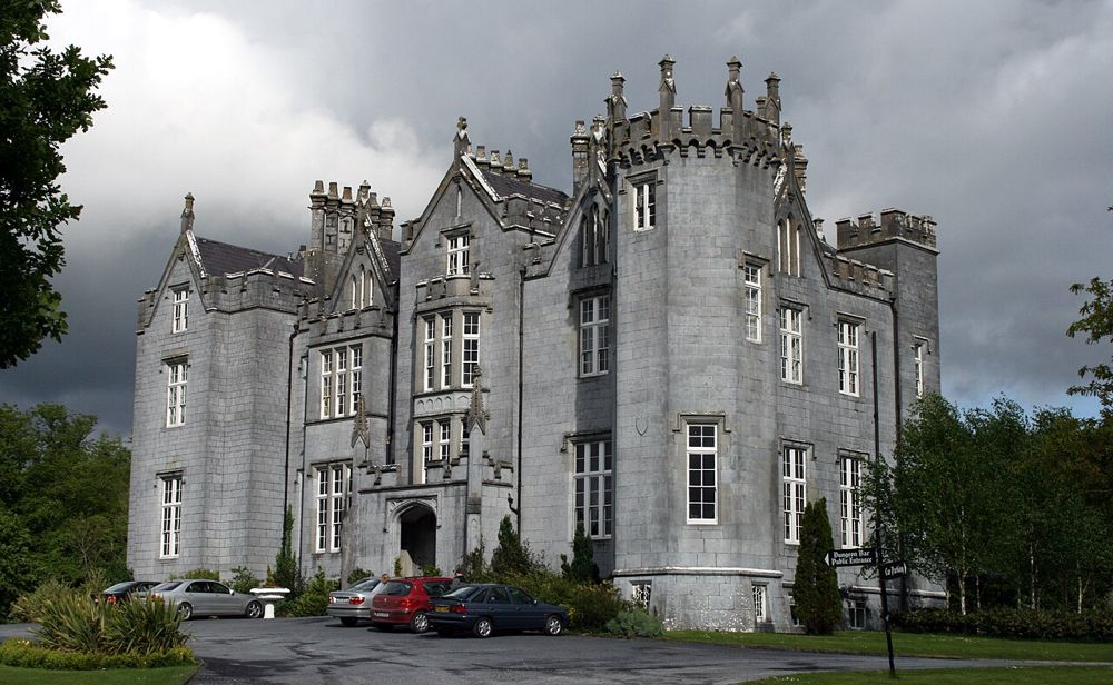
This marked woodland walk brings the Slieve Bloom foothills down to a manageable scale, with broadleaf cover and the castle setting providing variety along the way.
Open place page →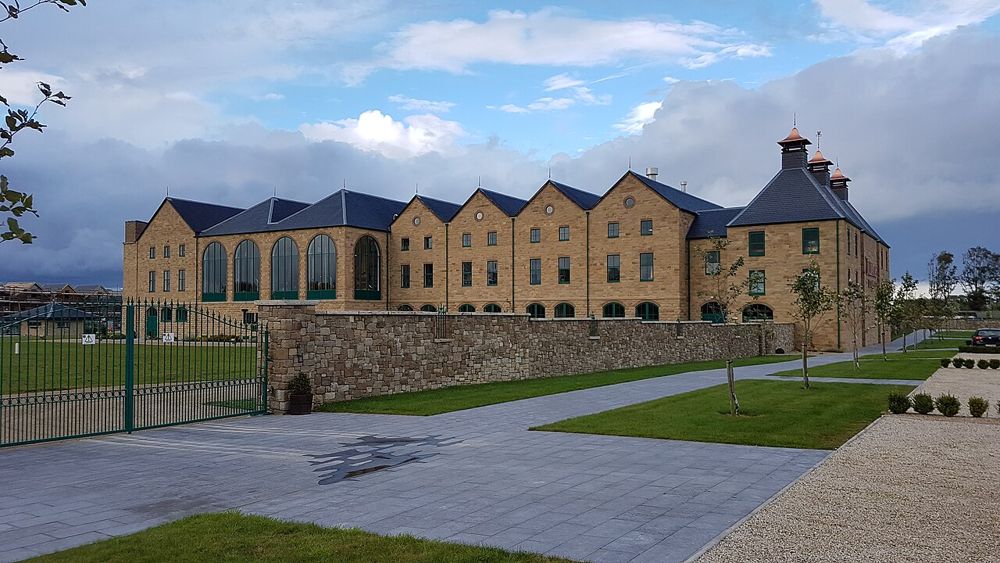
attraction · 13.0 km
This visit is for seeing whiskey as a working process, not just buying a familiar bottle. A booked experience gives the production story a beginning and an end, with the tasting shaped by the tour chosen.
Open place page →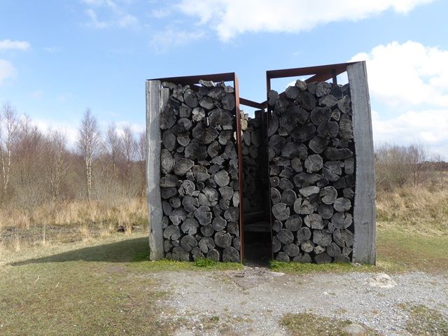
nature · 15.7 km
Boora is open sky, long horizons and unexpected sculpture on former industrial peatland. The art works best when you encounter it through the landscape rather than treat every piece as a quick photo stop.
Open place page →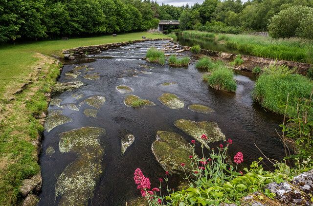
nature · 17.3 km
Gash is the sort of garden where plant enthusiasts will keep stopping while companions drift ahead. Water features, mature planting and smaller garden spaces make the appeal quite different from a monumental…
Open place page →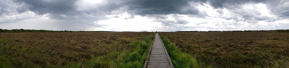
nature · 21.5 km
Clara's boardwalk puts visitors close to a raised bog without asking them to walk on the habitat itself. The reward is in small plants, pools and the feeling of a landscape holding water underfoot.
Open place page →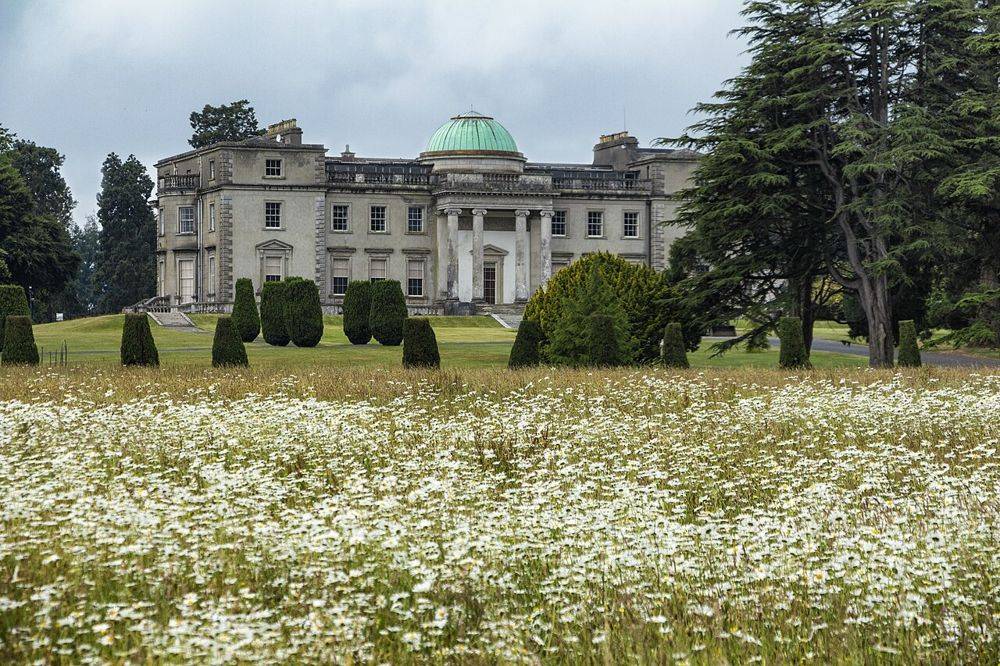
heritage · 23.9 km
The long approach, pale classical frontage and lake make Emo a satisfying estate visit before you have even entered the house. The parkland is the reason to leave room around a house tour.
Open place page →A May 2026 walker found the longer Old Mill route well marked but muddy in places, and noted a busy car park. That account concerns a longer loop, not a verified duration for the waterfall route. The useful takeaway is to select the exact trail and wear footwear for wet ground.
Original paraphrases of public visitor accounts. These are limited perspectives, not a representative survey or a claim of our own visit. Use current operator information for access and opening.
Location & access
The waterfall is a destination within a forest walk, not a roadside viewing platform. Plan the return as carefully as the outward section, and resist borrowing another review's route length. If children or less confident walkers are joining, decide on the specific signed option together at the start.
53.13600, -7.54200 · Reference point; confirm the correct entrance and access. Map © OpenStreetMap contributors.
Source-based place brief. A catalogue reference is not a live availability check or a report of a personal visit.
Visitor details checked 19 October 2026. Page content updated 2026-10-20.