The winding descent
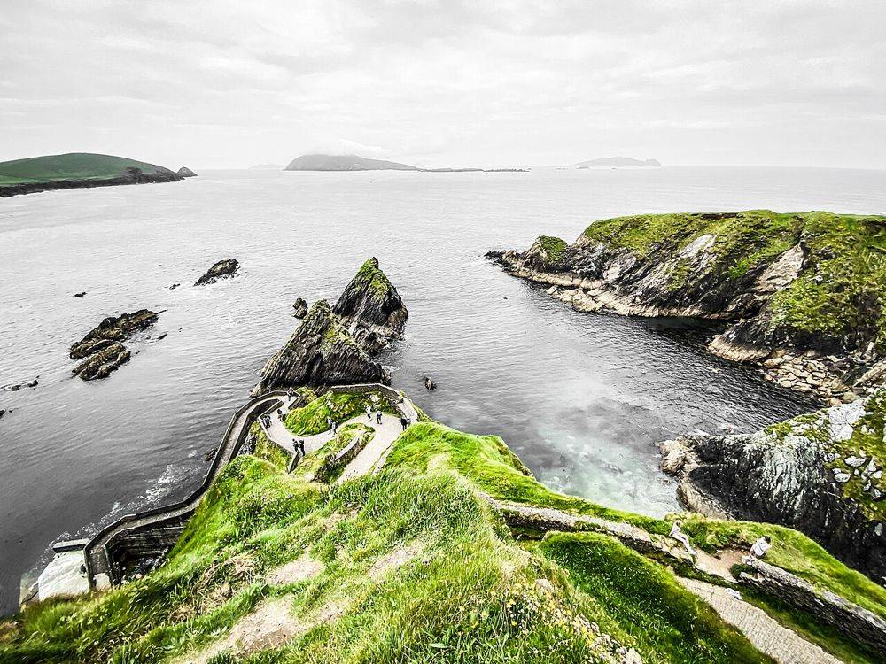
From above, the path makes the relationship between cliff and harbour immediately clear. Keep away from unprotected edges while choosing where to look.
coast · Kerry
Dunquin’s zigzag path is easy to recognise from photographs, but the practical detail gets lost in the image: the pier is far below you. Look first from a permitted place above. Walking down is an optional extension, with a steep climb back and a working landing at the bottom.
Source-based editorial assessment · out of 10
A rewarding coastal stop on the western Dingle Peninsula when visibility is good. Make it a viewpoint visit if that suits your group; reaching the water does not make the experience more authentic. It is a poor choice for a rushed stop in high wind or poor light.
Assess the slope before descending and reserve energy for the climb back. Do not take a vehicle down the pedestrian pier approach.
Best for: The winding descent
Planning blend: 7.0 / 10 · Sustainability: unrated
Experience considers the reward and depth of this particular stop. Visitor friendliness considers practical ease: arrival, booking, physical demands, cost and flexibility. These are editorial judgements based on linked information, not visitor averages or a claim of a personal visit.
Assessed . Supporting guide source-check date: 2026-10-19. The assessment date does not mean every linked source was newly checked.
The blend uses (40 × Experience + 55 × Visitor friendliness) ÷ 95, rounded to the nearest half point. Missing sustainability does not affect it. A missing current visit score is not zero and has no blend.
A high score is not a safety clearance or a guarantee of step-free access. Food-stop scores concern the planned visit, not an untested meal. Read the scale and scope · Suggest a correction.
From research
A rewarding coastal stop on the western Dingle Peninsula when visibility is good. Make it a viewpoint visit if that suits your group; reaching the water does not make the experience more authentic. It is a poor choice for a rushed stop in high wind or poor light.
Know before you book: The path is an access route to a pier, not a gentle promenade. Ferry departures are seasonal and separately arranged. Seeing the pier does not mean a boat is leaving, or that an island landing will be possible in the conditions that day.
Place highlights
From above, the path makes the relationship between cliff and harbour immediately clear. Keep away from unprotected edges while choosing where to look.
Give the offshore rocks and Blasket setting time, especially as light changes. A view can be the whole purpose of the stop; no descent is required to justify it.
The story behind the visit
Dún Chaoin is part of the mainland story of the Blasket Islands. The pier represents movement between communities rather than an ornamental photo subject. A visit to the nearby Blasket Centre adds the voices and circumstances missing from the coastal view. Source ↗
Dated visitor information
Follow local signs to the pier area west of Dingle. Use permitted parking without obstructing the road, access or gates; the map pin identifies the pier below, not a driveable car destination. Official visitor information ↗
Source information checked 19 October 2026; confirm current access and visitor arrangements with the operator.
Treat the steep access as a walking approach for a visitor stop; do not follow the pin down it in a vehicle. Source ↗
No. The upper coast gives the characteristic view. A descent adds effort and requires a separate judgment about footing, wind and the return climb. Source ↗
Nearby options
Distances are straight-line estimates between catalogue pins, within 30 km. Roads, entrances and walking routes may be much longer. Known closed places are excluded; inclusion does not confirm opening today.
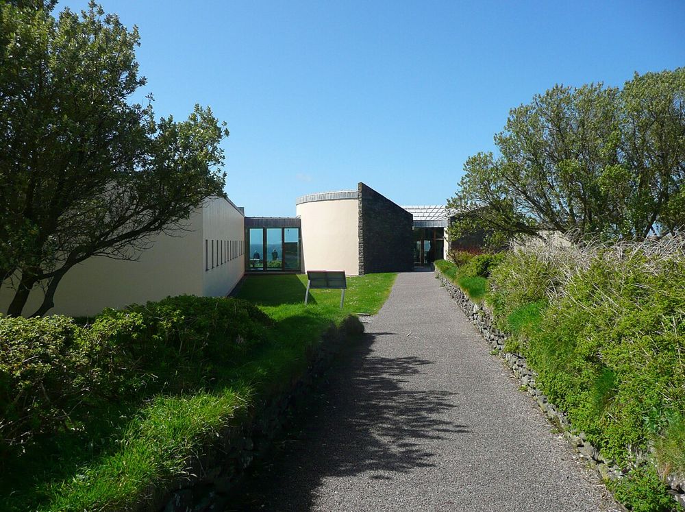
heritage · 0.9 km
The Blasket Centre gives the islands people, language and ordinary days. Across the water, Great Blasket can look like an empty scenic shape; inside, recordings, writing and interpretation return the community…
Open place page →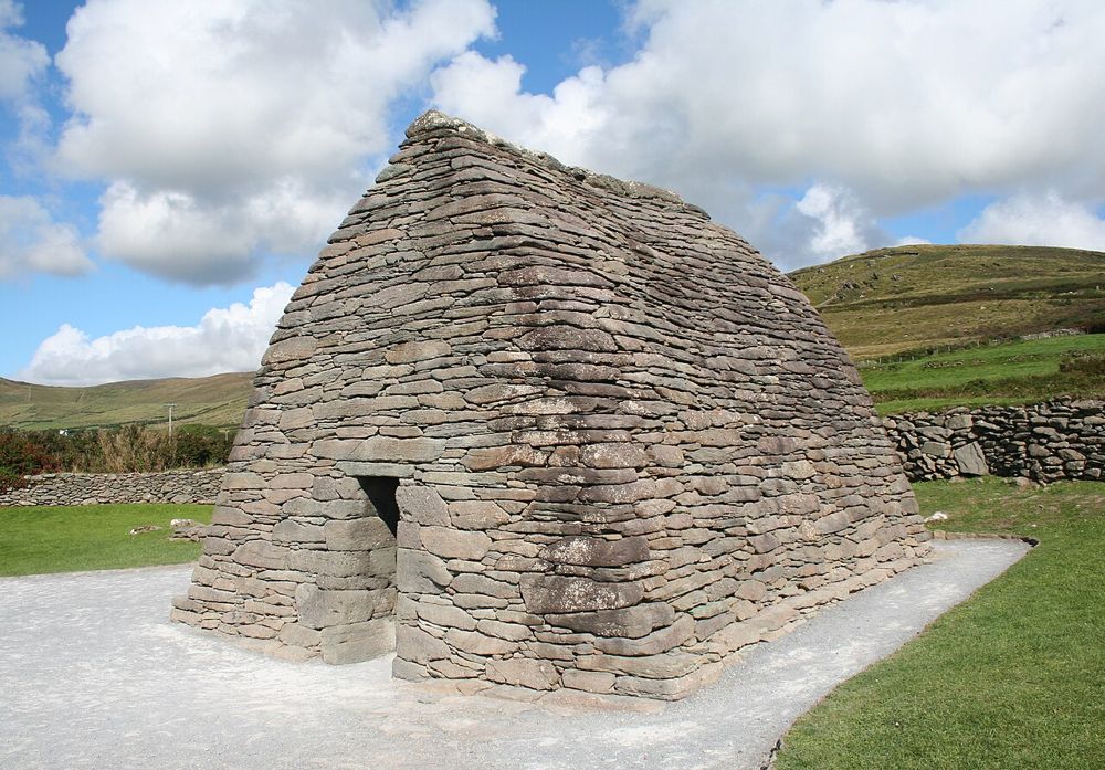
heritage · 9.3 km
Gallarus asks you to look closely. The little stone building has none of a cathedral’s theatrical scale; its appeal is the precision of the walls curving into a roof. Step back to see the shape, then let your…
Open place page →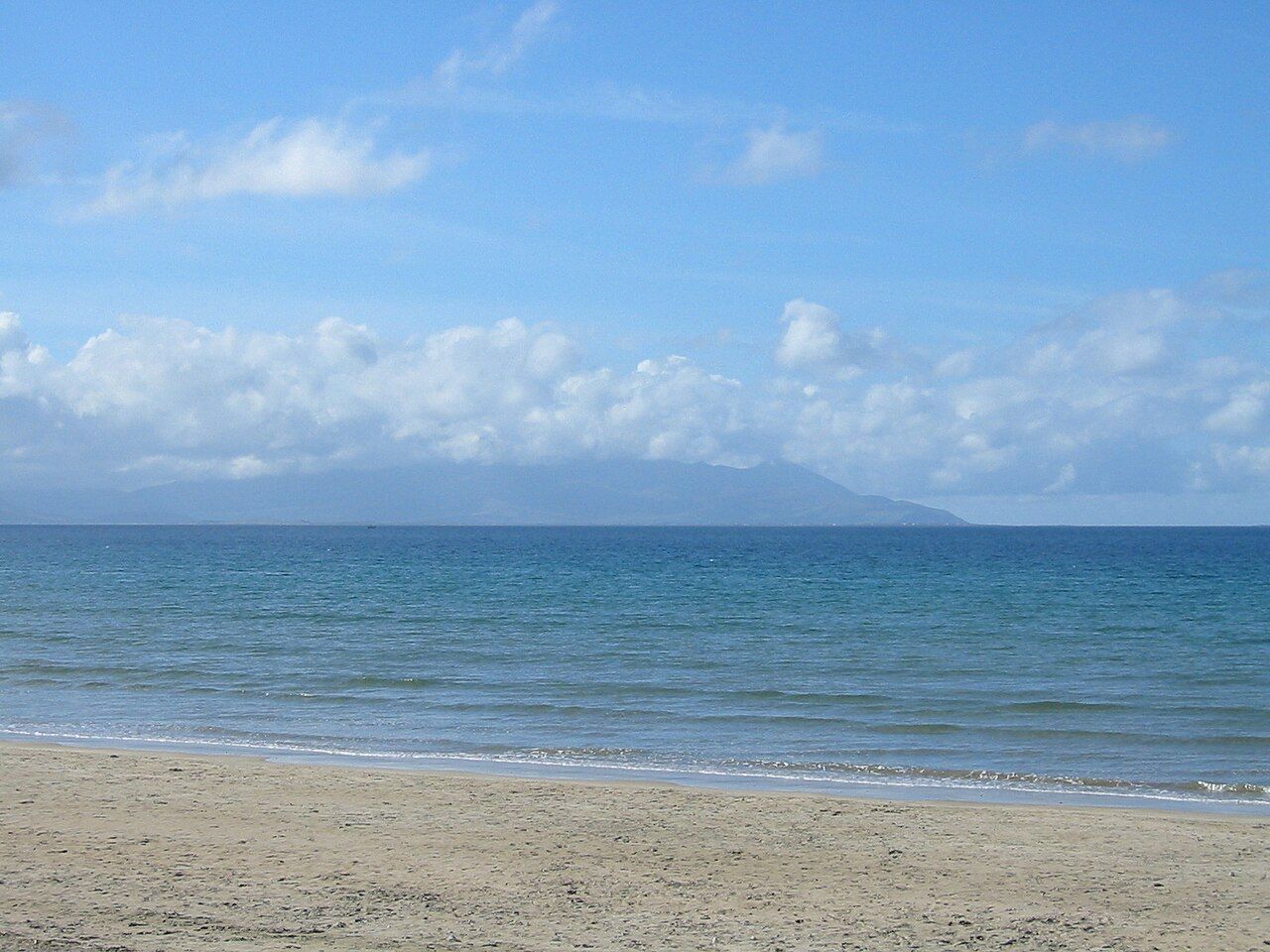
coast · 13.3 km
Dingle town is a harbour and streets visit that can anchor a peninsula stay. It is not a shorthand for driving every part of the Dingle Peninsula in one stop.
Open place page →Public accounts value the cliffs, rock formations and winding path, but several specifically describe the return climb as harder than going down. This is the most useful correction to the postcard image. The accounts are a limited sample and do not establish current surface or ferry conditions.
Original paraphrases of public visitor accounts. These are limited perspectives, not a representative survey or a claim of our own visit. Use current operator information for access and opening.
Location & access
The path is an access route to a pier, not a gentle promenade. Ferry departures are seasonal and separately arranged. Seeing the pier does not mean a boat is leaving, or that an island landing will be possible in the conditions that day.
52.12440, -10.46100 · Reference point; confirm the correct entrance and access. Map © OpenStreetMap contributors.
Source-based place brief. A catalogue reference is not a live availability check or a report of a personal visit.
Visitor details checked 19 October 2026. Page content updated 2026-10-20.