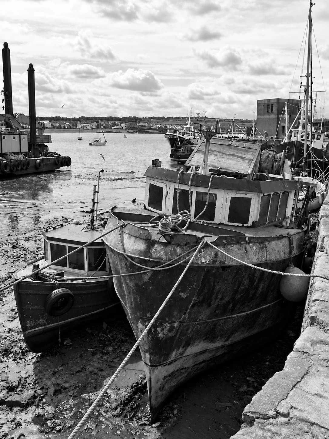
Fishing harbour
Observe the harbour from permitted public areas while leaving working space clear.
coast · Dublin
A harbour-and-shore visit linking Skerries’ fishing waterfront, North Beach and the Red Island coastal path.
Source-based editorial assessment · out of 10
Partial pier-closure notice listed; the wider coastal outing is not wholly closed
Fishing harbour, North Beach and the Red Island connection create a flexible coastal-town outing, with several landscape moods rather than a single remote headland objective.
Town facilities make the route adaptable, but Fingal still lists a partial pier-closure notice. Follow barriers and use open shoreline sections instead of assuming an uninterrupted harbour circuit.
Best for: A flexible harbour-and-shore day
Planning blend: 7.5 / 10 · Sustainability: unrated
Experience considers the reward and depth of this particular stop. Visitor friendliness considers practical ease: arrival, booking, physical demands, cost and flexibility. These are editorial judgements based on linked information, not visitor averages or a claim of a personal visit.
Assessed . Supporting guide source-check date: 15 October 2026. Current notice checked 2026-10-19. The assessment date does not mean every linked source was newly checked.
The blend uses (40 × Experience + 55 × Visitor friendliness) ÷ 95, rounded to the nearest half point. Missing sustainability does not affect it. A missing current visit score is not zero and has no blend.
A high score is not a safety clearance or a guarantee of step-free access. Food-stop scores concern the planned visit, not an untested meal. Read the scale and scope · Suggest a correction.
From research
Choose it for a flexible town-and-coast outing rather than a remote headland hike. The working harbour deserves room and attention, not an assumption of unrestricted access.
Before you go: Fingal lists a notice about partial closure of Skerries Pier. Check current harbour notices and barriers rather than assuming the pier is open end to end.
Place highlights
Observe the harbour from permitted public areas while leaving working space clear.
The council describes a coastal walkway joining North Beach with the South Strand around Red Island.
The story behind the visit
Skerries’ harbour gives the town’s coastal setting a practical purpose. Fingal manages it as a working harbour, so boats, slipways and quays are part of ongoing activity rather than a visitor-only scene. That is the useful starting point for a walk: watch how the waterfront is used and respect the space needed by people working there. The shoreline should not be treated as a continuous unrestricted promenade simply because several sections are attractive to visitors. Source ↗
The North Beach and Red Island path offer a different pace from the pier. Fingal describes a connection around the coast toward the South Strand, making it possible to build a flexible outing without committing to one long walk. The town remains close enough to form part of the visit, but current notices still matter. A proposed public-realm scheme is not proof that every improvement is complete, and a partially closed pier is not an invitation to squeeze around a barrier for a better photograph. Source ↗
Dated visitor information
For a coastal arrival, use Harbour Road or the beach access points. The railway station requires an onward walk through the town. Official visitor information ↗
Source information checked 15 October 2026; confirm current access and visitor arrangements with the operator.
No. The harbour page lists a partial-closure notice; check its current status and obey barriers. Source ↗
The council describes a coastal walkway from North Beach around Red Island to South Strand. Use permitted paths and check local conditions. Source ↗
No. Fingal describes seasonal beach cover; check the noticeboard and current bathing conditions. Source ↗
Nearby options
Distances are straight-line estimates between catalogue pins, within 30 km. Roads, entrances and walking routes may be much longer. Known closed places are excluded; inclusion does not confirm opening today.

heritage · 5.2 km
A castellated country house above the sea, with gardens, parkland and a separately ticketed interior tour.
Open place page →
heritage · 11.4 km
A Georgian house, traditional farm and broad demesne at Donabate, with different ways to spend the visit.
Open place page →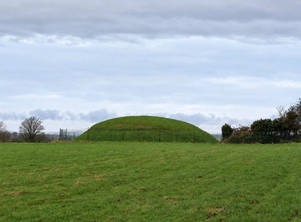
heritage · 12.5 km
A Neolithic passage tomb with carved stones and a key-collection arrangement that needs planning before arrival.
Open place page →
heritage · 15.9 km
An archbishop’s fortified residence in the middle of Swords, with a chapel and adjoining town park.
Open place page →
nature · 16.0 km
A park-and-playground visit in Malahide’s castle demesne, distinct from the paid heritage attractions.
Open place page →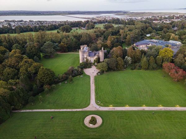
heritage · 16.2 km
Malahide combines a guided Talbot-family house tour with botanic gardens, a Butterfly House and a Fairy Trail. It sits in a wider public demesne, so a paid castle visit and a park walk are different choices.
Open place page →A visitor’s preferred Skerries walk starts at Red Island and continues toward town and the beach. It supports connecting the headland with the working town rather than viewing it as an isolated photo stop. This broader walking account is not a current condition report, swimming recommendation or claim that every shoreline section is accessible.
Original paraphrases of public visitor accounts. These are limited perspectives, not a representative survey or a claim of our own visit. Use current operator information for access and opening.
Location & access
Fingal lists a notice about partial closure of Skerries Pier. Check current harbour notices and barriers rather than assuming the pier is open end to end.
53.58470, -6.10100 · Reference point; confirm the correct entrance and access. Map © OpenStreetMap contributors.
Source-based place brief. A catalogue reference is not a live availability check or a report of a personal visit.
Visitor details checked 15 October 2026. Page content updated 2026-10-15.