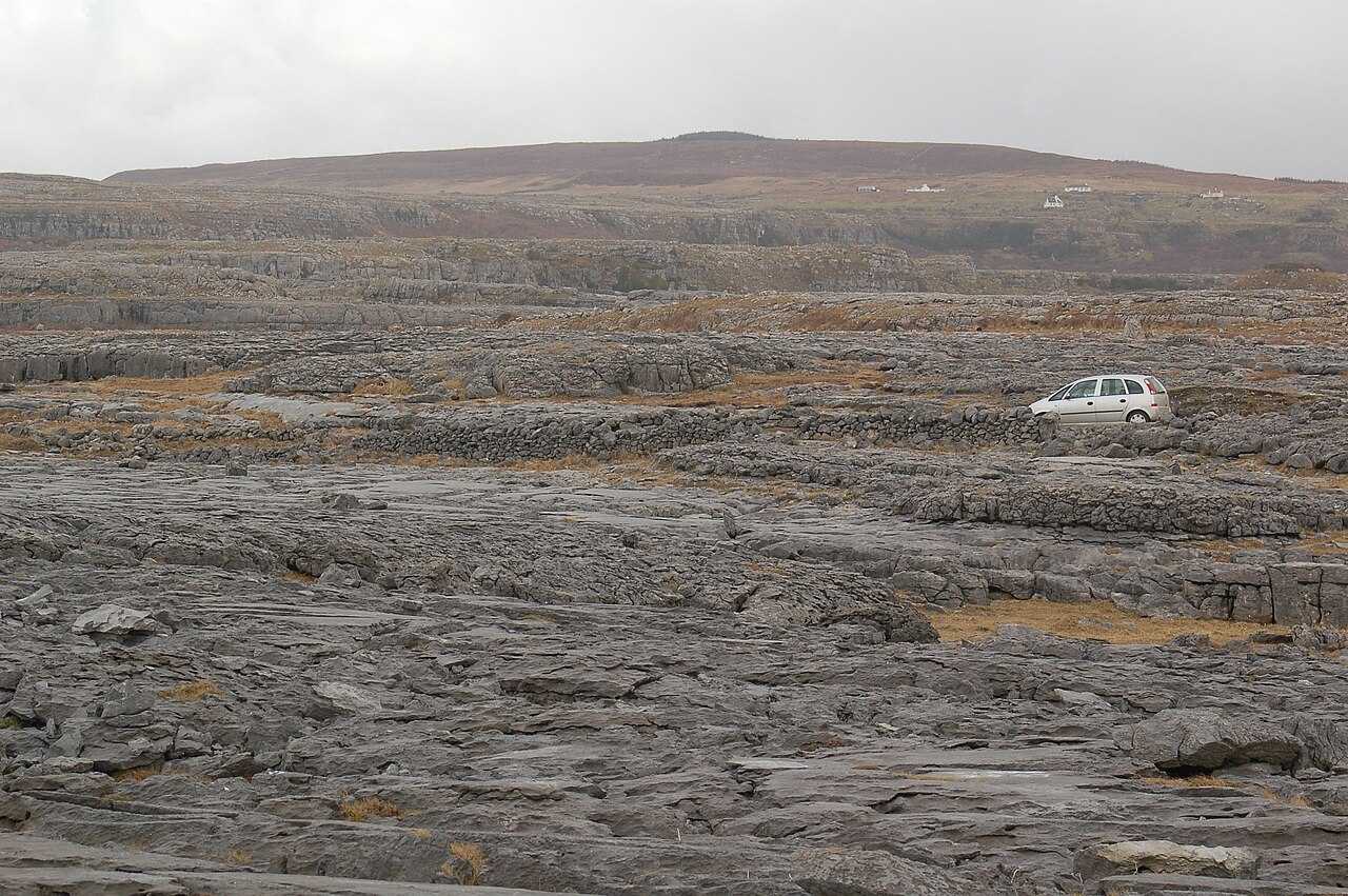
Look closely at the limestone
Notice the pattern of exposed rock and vegetation while keeping to the appropriate route.
nature · Clare
The Burren is a limestone landscape to explore through a specific trail or geosite, not a single viewpoint that covers the whole region.
Source-based editorial assessment · out of 10
Choose a modest, well-defined walk if you want to notice the rock, plants and open landscape. A carefully chosen short route is more rewarding than wandering across unfamiliar limestone without a plan.
The national park trailhead is remote and has no designated parking, toilets or services. The information point in Corofin is separate. The published seasonal shuttle does not operate year-round; confirm the service for your actual date.
Best for: look closely at the limestone
Planning blend: 7.0 / 10 · Sustainability: unrated
Experience considers the reward and depth of this particular stop. Visitor friendliness considers practical ease: arrival, booking, physical demands, cost and flexibility. These are editorial judgements based on linked information, not visitor averages or a claim of a personal visit.
Assessed . Supporting guide source-check date: 2026-10-19. The assessment date does not mean every linked source was newly checked.
The blend uses (40 × Experience + 55 × Visitor friendliness) ÷ 95, rounded to the nearest half point. Missing sustainability does not affect it. A missing current visit score is not zero and has no blend.
A high score is not a safety clearance or a guarantee of step-free access. Food-stop scores concern the planned visit, not an untested meal. Read the scale and scope · Suggest a correction.
From research
Choose a modest, well-defined walk if you want to notice the rock, plants and open landscape. A carefully chosen short route is more rewarding than wandering across unfamiliar limestone without a plan.
Before you go: The national park trailhead is remote and has no designated parking, toilets or services.
Place highlights
Notice the pattern of exposed rock and vegetation while keeping to the appropriate route.
Use the national park’s route information to match distance and difficulty to the group.
The story behind the visit
The Burren’s distinctive interest comes from geology and habitats together. The detail underfoot can matter as much as the broad panorama, which makes a slow walk a good way to experience it. Source ↗
Dated visitor information
Start Corofin Information Point V 95 VX 83; bus 333/Local LinkC 5/C 11 listed. No designated parking/toilets at trailhead; summer shuttleMay–September. Official visitor information ↗
Source information checked 19 October 2026; confirm current access and visitor arrangements with the operator.
No. Corofin’s information point is separate from the park trails. Check the map and transport before leaving town. Source ↗
Nearby options
Distances are straight-line estimates between catalogue pins, within 30 km. Roads, entrances and walking routes may be much longer. Known closed places are excluded; inclusion does not confirm opening today.
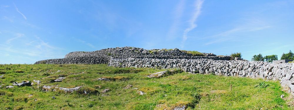
heritage · 8.4 km
Caherconnell makes a useful bridge between the Burren’s archaeology and its working farms. The stone fort asks you to imagine how a household occupied the landscape; the sheepdog demonstration shows skill and…
Open place page →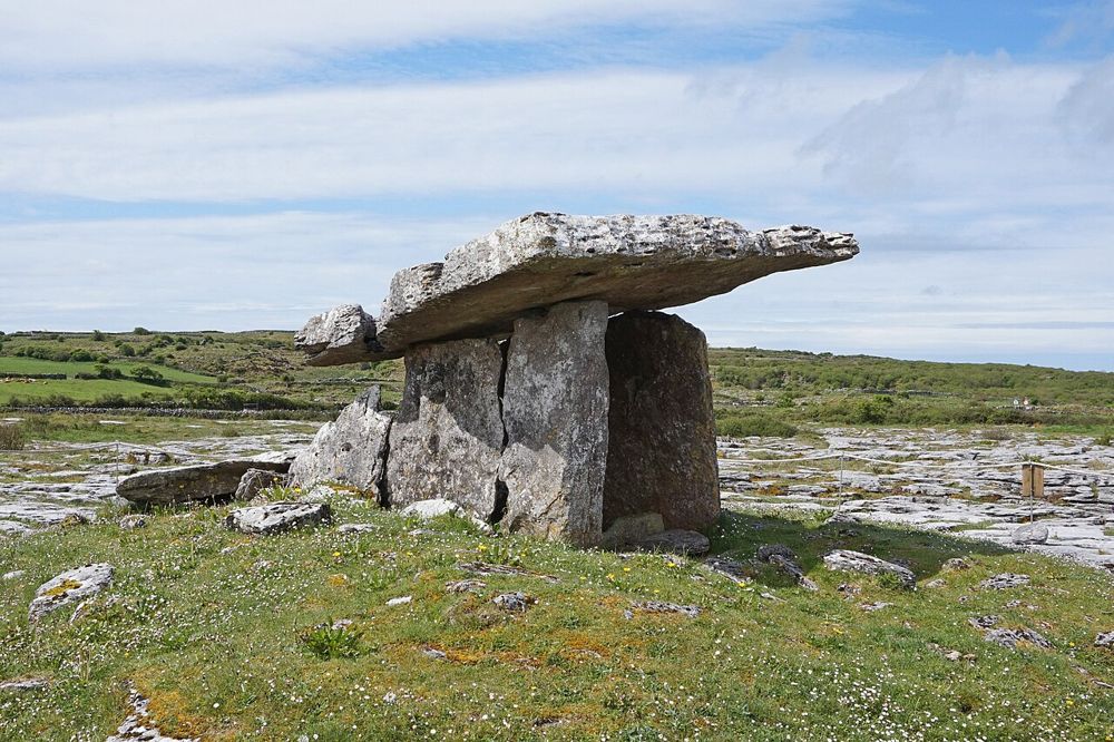
heritage · 9.0 km
Poulnabrone is small enough to be rushed and old enough to deserve better. The tilted capstone stands above a rough limestone plateau, with very little competing for your attention. After the familiar…
Open place page →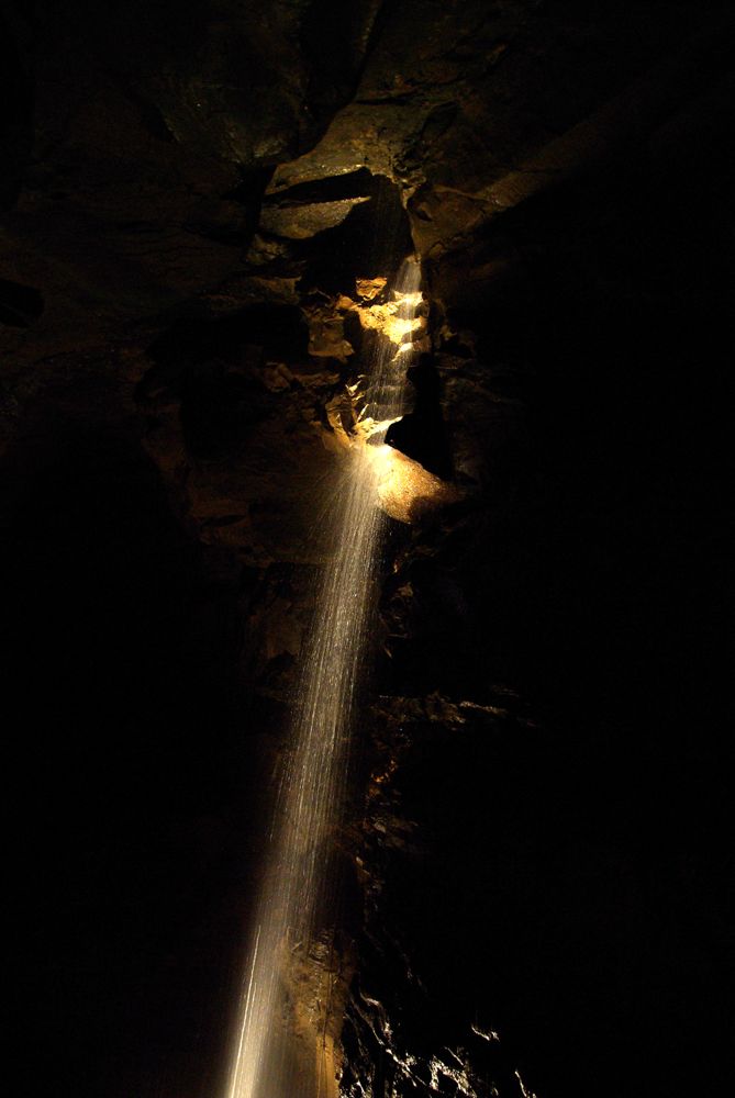
attraction · 12.4 km
Aillwee takes you beneath the Burren rather than asking you to interpret limestone from the roadside. A guided cave visit gives shape to the hidden drainage and slow formation of this landscape. Above ground,…
Open place page →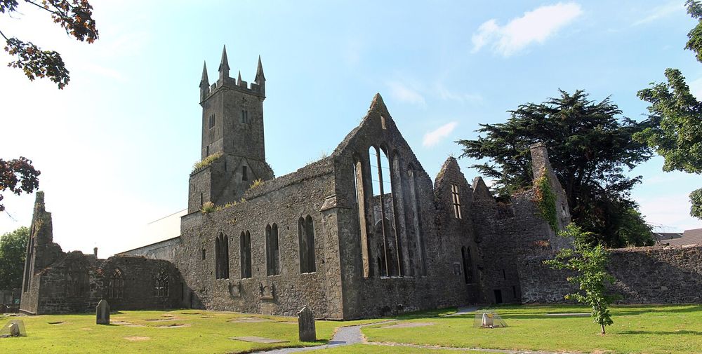
heritage · 17.2 km
Ennis Friary is a good reminder that the most interesting part of a ruin can be small. Its limestone carvings, tombs and windows reward looking closely rather than chasing a grand view. Because it sits in…
Open place page →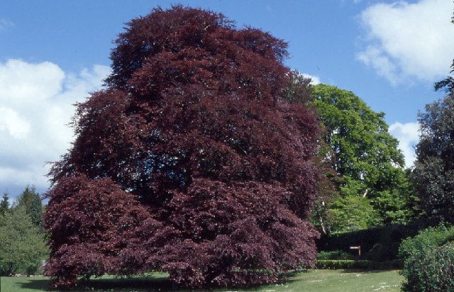
nature · 17.2 km
Coole Park offers shade, woodland paths and literary connections without requiring a mountain day. The Autograph Tree gives the visit a famous focal point, but the better reason to linger is the relationship…
Open place page →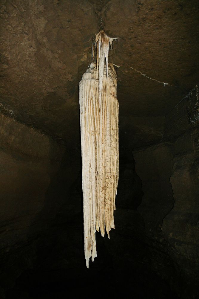
attraction · 21.2 km
Doolin Cave builds its visit around a single geological object: a huge free-hanging stalactite in an underground chamber. The reward comes from seeing its scale after the descent, not from covering miles of…
Open place page →Accessible walker accounts praise the marked trail choices but warn that the trailhead is a small rural arrival rather than a large visitor complex. Summer shuttle comments are historical or seasonal. They support researching the arrival before driving, with the current park page deciding whether a shuttle runs on your date.
Original paraphrases of public visitor accounts. These are limited perspectives, not a representative survey or a claim of our own visit. Use current operator information for access and opening.
Location & access
The national park trailhead is remote and has no designated parking, toilets or services.
52.99670, -9.03720 · Reference point; confirm the correct entrance and access. Map © OpenStreetMap contributors.
Source-based place brief. A catalogue reference is not a live availability check or a report of a personal visit.
Visitor details checked 19 October 2026. Page content updated 2026-10-20.