Woodland to shore
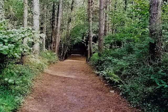
Watch how the setting changes between trees, marsh and open sand. That contrast is the park’s distinctive reward, rather than one compulsory photo point.
nature · Donegal
Ards changes the texture of a Donegal coast day. Woodland paths lead towards salt marsh, dunes and small beaches, so you can move between trees and water without making every stop an exposed headland. The best plan is to choose a walk that fits the group, leaving time to stop at the shore rather than trying every trail.
Source-based editorial assessment · out of 10
Choose it for a varied outdoor visit around Sheephaven, particularly with a group that wants different amounts of walking. It offers more shelter than a bare cliff viewpoint, but a forest park is still subject to weather and temporary trail restrictions.
The park contains several routes and habitat types. Parking, route choice and the condition of coastal sections need checking; do not infer equal accessibility throughout.
Best for: Woodland to shore
Planning blend: 8.0 / 10 · Sustainability: unrated
Experience considers the reward and depth of this particular stop. Visitor friendliness considers practical ease: arrival, booking, physical demands, cost and flexibility. These are editorial judgements based on linked information, not visitor averages or a claim of a personal visit.
Assessed . Supporting guide source-check date: 2026-10-19. The assessment date does not mean every linked source was newly checked.
The blend uses (40 × Experience + 55 × Visitor friendliness) ÷ 95, rounded to the nearest half point. Missing sustainability does not affect it. A missing current visit score is not zero and has no blend.
A high score is not a safety clearance or a guarantee of step-free access. Food-stop scores concern the planned visit, not an untested meal. Read the scale and scope · Suggest a correction.
From research
Choose it for a varied outdoor visit around Sheephaven, particularly with a group that wants different amounts of walking. It offers more shelter than a bare cliff viewpoint, but a forest park is still subject to weather and temporary trail restrictions.
Know before you book: The park contains several routes and habitat types. Parking, route choice and the condition of coastal sections need checking; do not infer equal accessibility throughout.
Place highlights
Watch how the setting changes between trees, marsh and open sand. That contrast is the park’s distinctive reward, rather than one compulsory photo point.
Use designated observation areas quietly and keep clear of sensitive habitat. Wildlife may be present, but a particular species or close encounter cannot be promised.
The story behind the visit
Ards protects a varied coastal woodland landscape while also serving as a managed recreation site. Its interest comes from those habitats meeting in a relatively compact area, with visitors asked to use designated routes so the quieter edges remain intact. Source ↗
Dated visitor information
Follow the signed Ards Forest Park entrance near the Creeslough–Dunfanaghy area. Do not confuse the park entrance with separate religious or private Ards properties. Official visitor information ↗
Source information checked 19 October 2026; confirm current access and visitor arrangements with the operator.
No. The park includes coastal habitats and shore areas as well as woodland. Choose a current signed route that includes the part you want to see. Source ↗
It is better to choose one realistic walk. Leave time for returning to your arrival point and adapting to current ground conditions. Source ↗
Nearby options
Distances are straight-line estimates between catalogue pins, within 30 km. Roads, entrances and walking routes may be much longer. Known closed places are excluded; inclusion does not confirm opening today.
heritage · 4.4 km
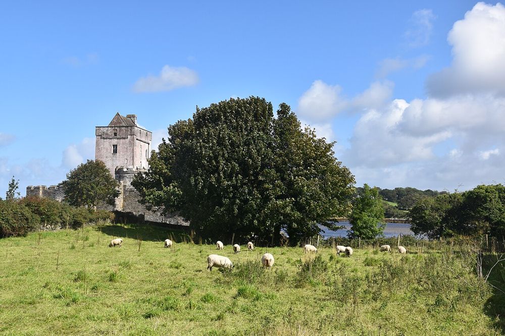
Doe Castle’s position on Sheephaven Bay explains its purpose almost at a glance. Water protects much of the site while a tower and enclosed bawn control the landward approach. It is a compact stop, but a…
Open place page →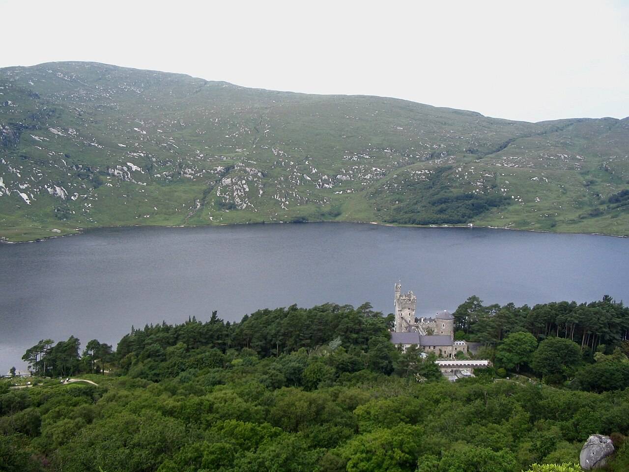
nature · 13.6 km
Glenveagh combines a lakeside national park setting with gardens and a castle visit. These elements have different access and opening arrangements.
Open place page →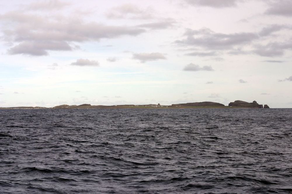
coast · 22.6 km
Tory deserves a day chosen for the island itself. The crossing, harbour settlement and open Atlantic setting offer a different rhythm from moving between mainland viewpoints. It is an Irish-speaking community…
Open place page →
heritage · 23.5 km
Fanad is immediately recognisable from its white lighthouse above dark rock and open water. A tour adds a reason to look beyond the façade: the purpose of the light, the keepers’ work and the coast’s maritime…
Open place page →Accessible reviews appreciate the combination of beaches, coves, woodland walks and family facilities. Accounts disagree about signage quality, so carrying the current route map is sensible even when a reviewer found paths well marked. Facilities mentioned in older reviews still need a current check.
Original paraphrases of public visitor accounts. These are limited perspectives, not a representative survey or a claim of our own visit. Use current operator information for access and opening.
Location & access
The park contains several routes and habitat types. Parking, route choice and the condition of coastal sections need checking; do not infer equal accessibility throughout.
55.15008, -7.92801 · Reference point; confirm the correct entrance and access. Map © OpenStreetMap contributors.
Source-based place brief. A catalogue reference is not a live availability check or a report of a personal visit.
Visitor details checked 19 October 2026. Page content updated 2026-10-20.