Former railway line
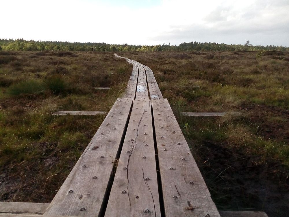
Its raised course provides a clear way into the landscape.
nature · Laois
The attraction at Abbeyleix is close to the ground: wetland plants, pools and changing textures beside a former railway line. It is a place to slow down and look, rather than chase a dramatic summit.
Source-based editorial assessment · out of 10
Choose it for a low-key nature walk and a practical introduction to peatland restoration. Wildlife sightings are a bonus, never the guarantee.
Follow current route signs and any boardwalk restrictions. Wet timber can be slippery; keep to the paths and avoid damaging the bog.
Best for: Former railway line and bog boardwalk
Planning blend: 7.0 / 10 · Sustainability: unrated
Experience considers the reward and depth of this particular stop. Visitor friendliness considers practical ease: arrival, booking, physical demands, cost and flexibility. These are editorial judgements based on linked information, not visitor averages or a claim of a personal visit.
Assessed . Supporting guide source-check date: 2026-10-19. The assessment date does not mean every linked source was newly checked.
The blend uses (40 × Experience + 55 × Visitor friendliness) ÷ 95, rounded to the nearest half point. Missing sustainability does not affect it. A missing current visit score is not zero and has no blend.
A high score is not a safety clearance or a guarantee of step-free access. Food-stop scores concern the planned visit, not an untested meal. Read the scale and scope · Suggest a correction.
From research
Choose it for a low-key nature walk and a practical introduction to peatland restoration. Wildlife sightings are a bonus, never the guarantee.
Know before you book: This is an outing for noticing things: how the vegetation changes, where water gathers and how the railway line sits above the surrounding ground. Someone expecting a waterfall or summit may be underwhelmed. Someone curious about an ordinary-looking landscape can find more here than the first view suggests.
Place highlights
Its raised course provides a clear way into the landscape.
Stay on the constructed route and look for the small-scale variety of the recovering habitat.
The story behind the visit
Local campaigning protected the bog from proposed peat extraction. Community restoration now gives the walk a story that is still unfolding rather than a landscape frozen in the past. Source ↗
Dated visitor information
Use the project’s published Abbeyleix access information and designated parking, not a shortcut across adjoining land. Official visitor information ↗
Source information checked 19 October 2026; confirm current access and visitor arrangements with the operator.
The constructed route lets people see the wet habitat without trampling sensitive plants or stepping onto unstable bog ground. Source ↗
The appeal is observing a restored peatland on the project's permitted paths. Use the current local route map rather than assuming every track forms part of the visitor walk. Source ↗
Nearby options
Distances are straight-line estimates between catalogue pins, within 30 km. Roads, entrances and walking routes may be much longer. Known closed places are excluded; inclusion does not confirm opening today.
nature · 3.8 km
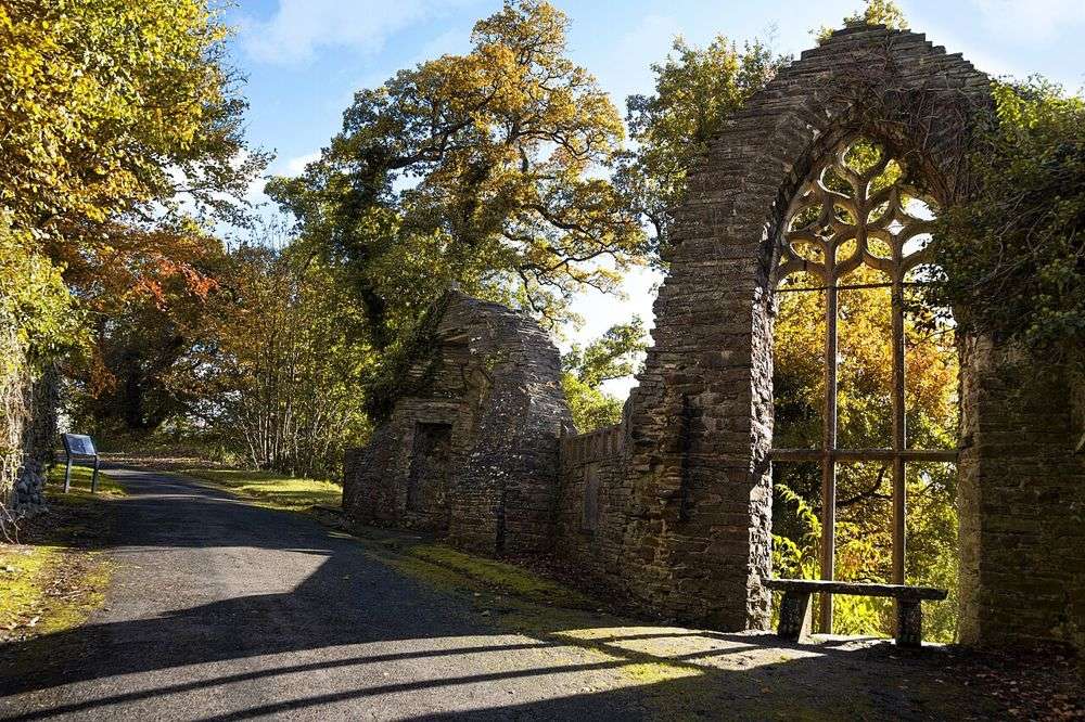
Heywood is about the change of scale: woodland and open landscape give way to tightly composed terraces, steps and the sunken garden. Small details repay more attention than a quick lap.
Open place page →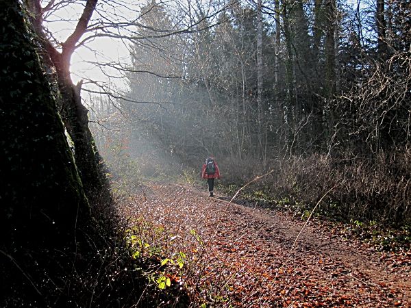
nature · 7.3 km
The Leafy Loop gives Durrow more depth than a quick village stop: woodland, riverbanks and glimpses of old estates create a walk with several different moods.
Open place page →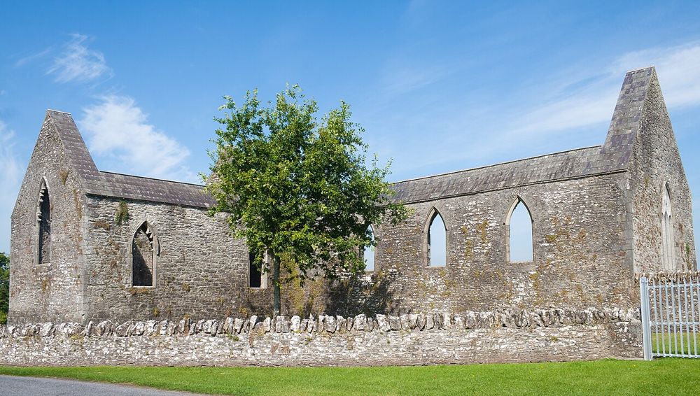
heritage · 10.8 km
Aghaboe is a quieter ruin than Dunamase, with walls, window openings and carved details that invite a closer look. Its rural setting makes it an easy place to pause between larger visits.
Open place page →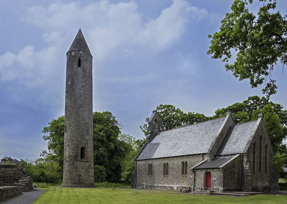
heritage · 11.5 km
Timahoe's tower rises beside a small village green, but the detail worth seeking is above eye level: the Romanesque doorway. It turns what could be another distant tower into a close look at medieval…
Open place page →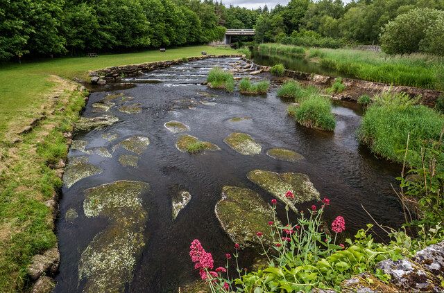
nature · 13.1 km
Gash is the sort of garden where plant enthusiasts will keep stopping while companions drift ahead. Water features, mature planting and smaller garden spaces make the appeal quite different from a monumental…
Open place page →
attraction · 14.2 km
Castlecomer works best when you choose the kind of day you want before arriving. Woodland walking and a courtyard pause are one visit; high ropes and other bookable activities are another. The setting can…
Open place page →The accessible personal excerpt is enthusiastic about the pleasure of the walk itself. The sample is small, so it supports the idea of an enjoyable nature pause rather than claims about reliably quiet paths, wildlife sightings or universal accessibility.
Original paraphrases of public visitor accounts. These are limited perspectives, not a representative survey or a claim of our own visit. Use current operator information for access and opening.
Location & access
This is an outing for noticing things: how the vegetation changes, where water gathers and how the railway line sits above the surrounding ground. Someone expecting a waterfall or summit may be underwhelmed. Someone curious about an ordinary-looking landscape can find more here than the first view suggests.
52.90500, -7.35000 · Reference point; confirm the correct entrance and access. Map © OpenStreetMap contributors.
Source-based place brief. A catalogue reference is not a live availability check or a report of a personal visit.
Visitor details checked 19 October 2026. Page content updated 2026-10-20.