Headland and fort view
Look towards the Aguada fortifications from the public beach. Keep away from wave-washed rocks and respect any barriers; a scenic wall is not necessarily a permitted walking route.
attraction · Panaji, Old Goa and the central north coast
Stop at Sinquerim for a shoreline walk near Aguada’s coastal fortifications, with time for a meal before continuing to Candolim.
From research
A useful beach companion to the upper-fort visit if you make a separate road transfer down. Choose a short walk or meal first, and decide about any activity only after checking conditions and the operator.
Know before you book: The beach lies below the Aguada headland. The coastal fort view is not the upper-fort entrance, and advertised water sports are not proof that an activity is operating or permitted today.
Place highlights
Look towards the Aguada fortifications from the public beach. Keep away from wave-washed rocks and respect any barriers; a scenic wall is not necessarily a permitted walking route.
Pick a manageable out-and-back section towards the Candolim stretch when conditions allow. Set a turnaround point so the walk does not become an unexpected long transfer.
If water sports are offered, ask what the price includes, where the activity runs, what equipment is supplied and how weather cancellation works. Check the operator’s authorisation before paying.
The story behind the visit
Sinquerim sits at the southern end of the connected north-coast beach stretch described by Goa Tourism. The headland’s fortifications explain why this is both a coastal recreation stop and part of the Aguada landscape; the beach and hilltop remain separate visits. Source ↗
Dated visitor information
Use a public beach access in Sinquerim and agree your pickup there. After the upper fort, take the road transfer down; do not navigate through private hotel grounds or assume an informal hillside path is open. Official visitor information ↗
Source information checked 20 October 2026; confirm current access and visitor arrangements with the operator.
The beaches form part of the same coastal stretch, but decide on the day using weather, tide, route and your group’s abilities. A shorter return walk is a valid alternative. Source ↗
No. Official tourism describes activities generally; availability, permissions and conditions need checking with the operator and lifesavers that day. Source ↗
Nearby options
Distances are straight-line estimates between catalogue pins, within 30 km. Roads, entrances and walking routes may be much longer. Known closed places are excluded; inclusion does not confirm opening today.
attraction · 1.1 km
Visit Aguada’s hilltop fort for its laterite defences, water-storage engineering and views over the coastal approaches to Goa.
Open place page →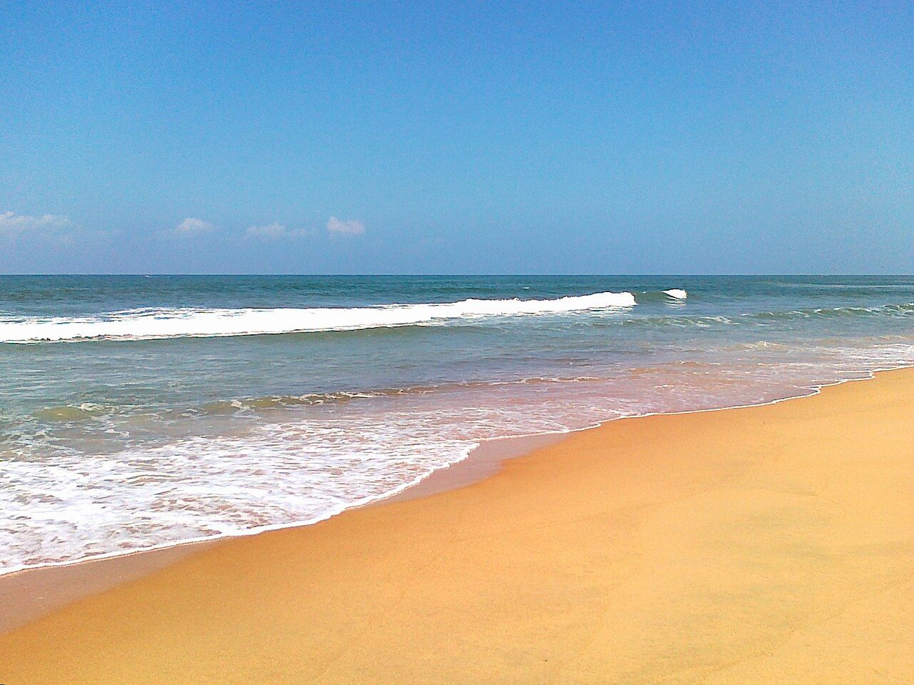
attraction · 2.1 km
Spend an unhurried afternoon on Candolim’s sandy coast, balancing a beach walk with the food and shops behind the shore.
Open place page →attraction · 4.7 km
Use Miramar for a coastal walk close to Panaji, with time to sit by the shore before returning to the city.
Open place page →attraction · 6.5 km
Visit Panaji’s white hilltop church for its double staircase, city setting and carved altars, with interior access fitted around worship.
Open place page →attraction · 7.1 km
Walk Panaji’s Fontainhas lanes to notice tiled roofs, raised houses and the mix of Goan and European architectural details.
Open place page →attraction · 14.9 km
See the surviving laterite tower and exposed remains of St Augustine’s church and convent on Old Goa’s Monte Santo.
Open place page →Location & access
Suggested visit allowance: about 90 minutes. Allow additional time for transfers and breaks.
15.49940, 73.76710 · Reference point; confirm the correct entrance and access. Map © OpenStreetMap contributors.
Source-based place brief. A catalogue reference is not a live availability check or a report of a personal visit.
Visitor details checked 20 October 2026. Page content updated 2026-10-20.