Juda ka Talab
Uttarakhand Tourism identifies this high-altitude lake between Sankri and the summit. Include it only within the route agreed with your guide.
Trek · Uttarakhand
Choose Kedarkantha as a mountain trek, with a named route, guide arrangements and an agreed plan for conditions on your dates.
Saved on this browser. No account needed.
From research
Come for a multi-stage walk through the mountain landscape and the possibility of a summit view. Decide on the organiser and route before arranging transport; the summit pin is no help with a pickup or first night.
Know before you book: Kedarkantha and Kedarnath are different destinations. A winter-trek label is not a promise of snow, a fitness assessment or confirmation that a route is open.
Place highlights
Uttarakhand Tourism identifies this high-altitude lake between Sankri and the summit. Include it only within the route agreed with your guide.
Treat reaching the summit as conditional. Ask how the planned day changes if the guide decides conditions or the group’s progress require turning back.
The story behind the visit
The official tourism itinerary places Juda Lake within a staged trekking journey. Reading the landscape as a succession of forest, lake and higher ground is more useful than reducing the whole trip to a summit photograph. Source ↗
Dated visitor information
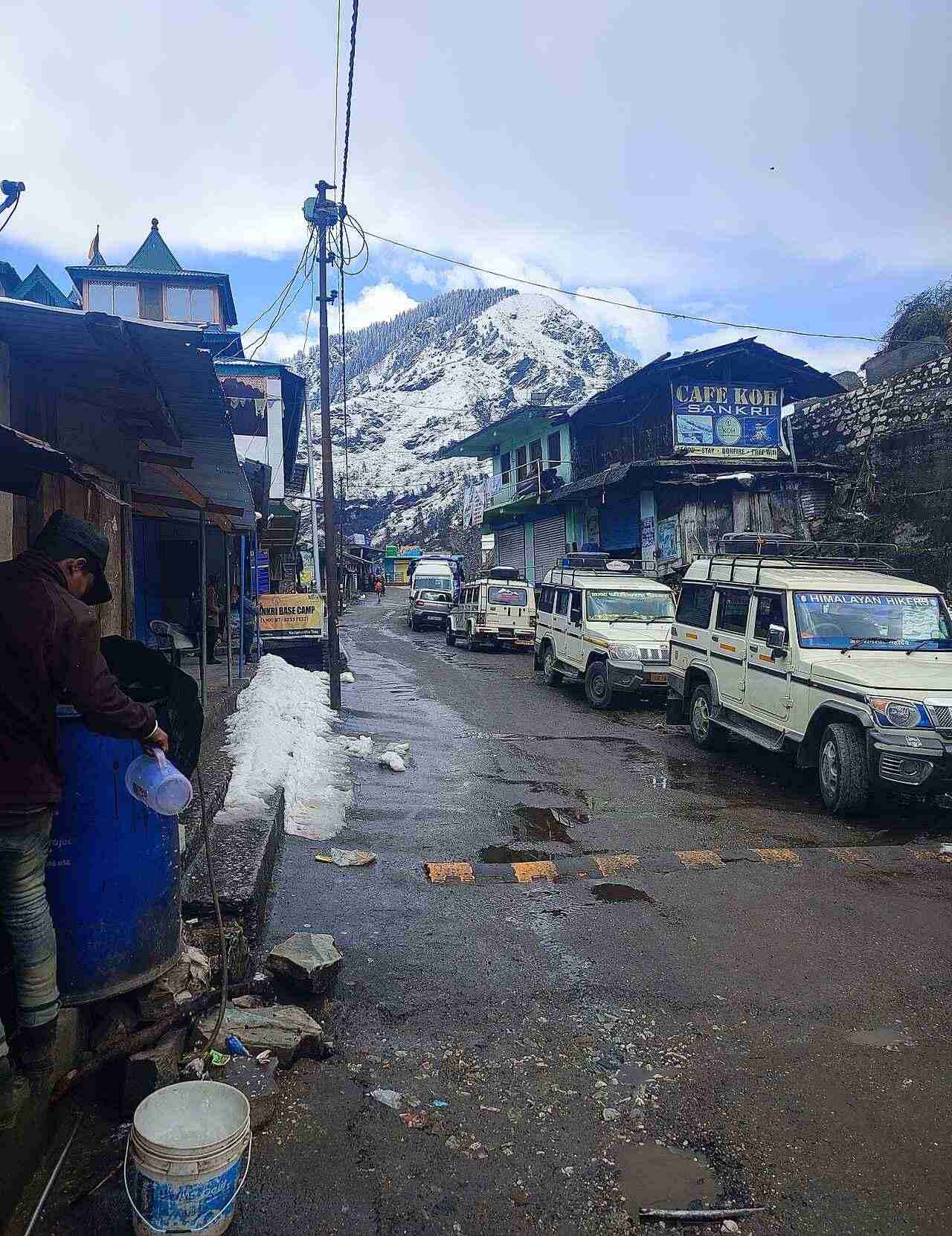
Arrange transport to the start named in your booked itinerary. Sankri appears in the official Juda Lake itinerary; do not assume every product marketed as Kedarkantha follows identical logistics. Official visitor information ↗
Source information checked 2026-10-20; confirm current access and visitor arrangements with the operator.
No. Check that every booking says Kedarkantha and matches your intended trekking route. Source ↗
No. It is a summit-area reference; obtain the actual meeting point from your organiser. Source ↗
Nearby options
Distances are straight-line estimates between catalogue pins, within 30 km. Roads, entrances and walking routes may be much longer. Known closed places are excluded; inclusion does not confirm opening today.
No other catalogued attractions within 30 km of this reference point yet.
Location & access
This is a discovery brief, not a trek plan. Verify the chosen route, guide arrangements and current conditions before travel.
31.02140, 78.17150 · Reference point; confirm the correct entrance and access. Map © OpenStreetMap contributors.
Source-based place brief. A catalogue reference is not a live availability check or a report of a personal visit.
Visitor details checked 2026-10-20. Page content updated 2026-10-20.