Church and tower
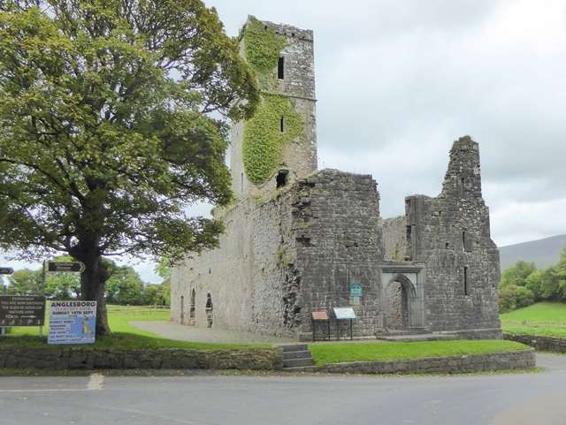
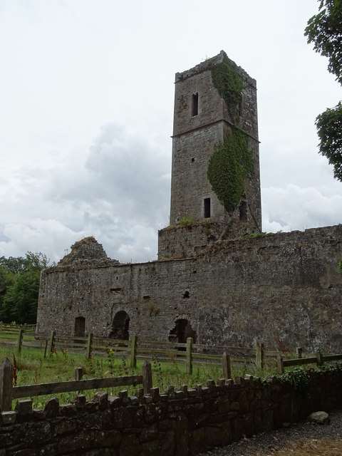
Notice how the tall bell tower separates nave and chancel. This arrangement helps make the surviving church legible, even though the wider domestic complex and cloister are no longer standing in the same way.

heritage · Tipperary
Moor Abbey stands east of Galbally in the Glen of Aherlow, its slender bell tower rising above the surviving church. The remaining nave and chancel preserve architectural details that make a short visit worthwhile. The surrounding countryside gives the ruin its setting without requiring a long walk or a large visitor-centre itinerary.
From research
Choose it for a compact medieval architecture stop in the Galtee area. It works especially well if you enjoy looking at windows, arches and the relationship between church and tower. The scale is modest, so come for careful observation and landscape context rather than expecting a large monastic complex.
Know before you book: Only parts of the former friary survive above ground. Use the permitted route and do not assume a visible staircase or opening establishes access to the tower or upper levels.
Place highlights
Notice how the tall bell tower separates nave and chancel. This arrangement helps make the surviving church legible, even though the wider domestic complex and cloister are no longer standing in the same way.
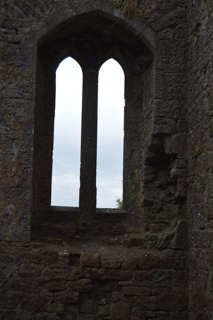
Look for the arches, carved features and the double piscina associated with washing liturgical vessels. These details connect the building with its religious use and are best appreciated through close looking rather than touching or climbing.
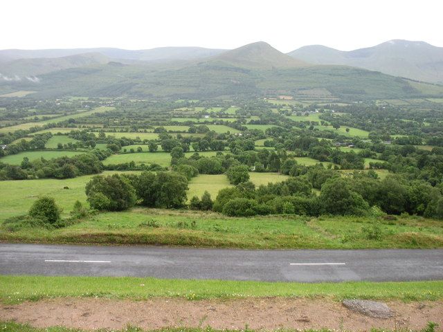
Take in the ruin’s relationship with the surrounding countryside and Galtee landscape. A short stop can provide a change of pace within a wider scenic outing, while the nearby interpretation helps connect the surviving architecture with its turbulent history.
The story behind the visit
The present ruins belong to a late medieval Franciscan church, with a building campaign in the fifteenth century associated with an earlier foundation. OPW records repeated disruption, return and repair in the friary’s history. That makes continuity more complicated than a simple foundation-and-abandonment story: the community’s relationship with the place changed over several centuries. Source ↗
What survives most clearly is the church and its tower, rather than the full range of communal and domestic buildings. Looking at the division between nave and chancel, the liturgical fittings and the treatment of openings can recover something of the building’s purpose. The missing cloister is equally significant, reminding visitors that the apparent simplicity of the ruin reflects loss as well as the original design. A compact ruin can still support a substantial visit when the focus is on how the building functioned. Compare practical fittings with the tower’s outline before moving on to the wider landscape. Source ↗
Visitor information
Moor Abbey is east of Galbally, in County Tipperary close to the county boundary. Follow the signed local approach. Official visitor information ↗
Confirm current access and visitor arrangements with the operator.
This is an unguided visit. Stay within the access permitted by current signs and barriers. Source ↗
Closed areas and upper levels may be restricted. Follow current signs and do not enter private land beyond the published approach. Source ↗
Nearby options
Explore other places in the area, then use live directions to plan your journey.
nature
The Glen of Aherlow is a landscape to spend time in, not a single attraction with one entrance. The Galtees provide the dramatic backdrop, while lower woodland routes allow a gentler day beneath them. Decide…
Open place page →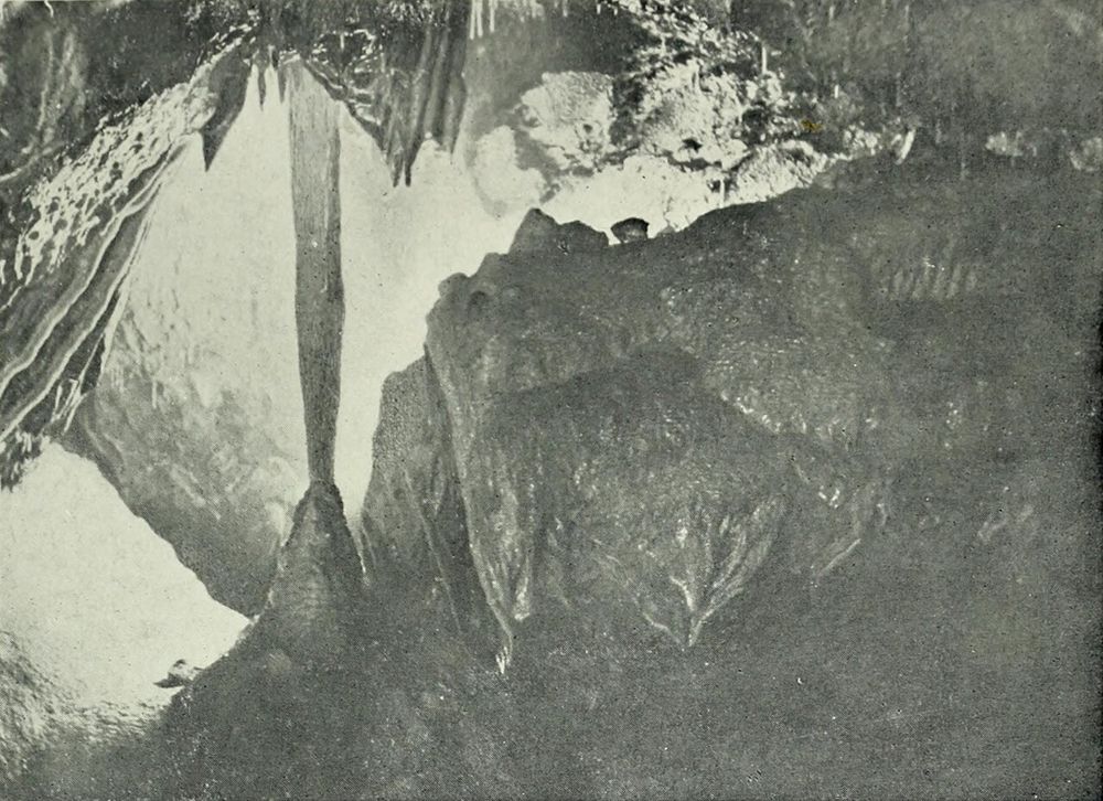
nature
Mitchelstown Cave is a deliberate change of scene from the roads above: a descent into limestone chambers with a guide controlling the pace and explanation. The formations are the attraction, but the entrance…
Open place page →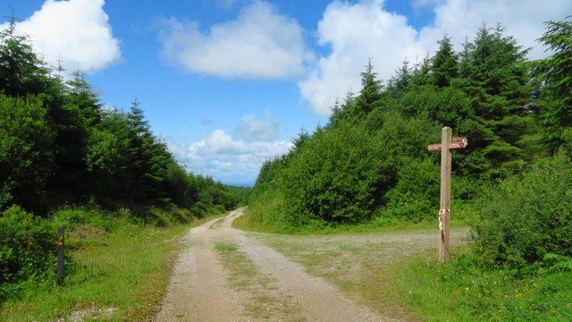
nature
Ballyhoura is a place to choose an activity deliberately: forest walking and mountain biking use a landscape that is much larger than a single viewpoint. The right trail matters more than collecting a summit…
Open place page →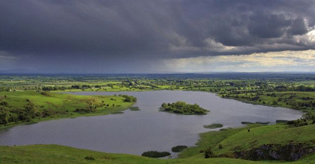
heritage
Lough Gur rewards seeing archaeology in a lived-in landscape: water, slopes and monuments are close enough to read together, but not all are reached from the same doorway.
Open place page →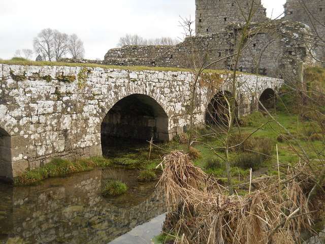
heritage
Athassel Abbey spreads through a quiet riverside landscape near Golden, with an extensive group of medieval remains rather than a single isolated church. Carved stone, cloister traces and the approach over a…
Open place page →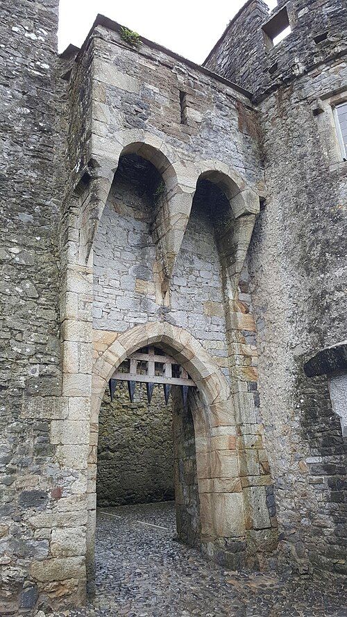
heritage
Cahir gives you the physical logic of a fortress: a rocky river island, tight passages and walls that still make defensive sense. It is a strong choice if the word castle makes you imagine an actual stronghold…
Open place page →Location & access
Only parts of the former friary survive above ground. Use the permitted route and do not assume a visible staircase or opening establishes access to the tower or upper levels.
52.40250, -8.27834 · Reference point; confirm the correct entrance and access. Map © OpenStreetMap contributors.
Orientation only: a verified public entrance is not established by this pin. Use the operator arrival information before travel.