The strand
Look along the sand and the rocky coast from the established beach approach. Pause on the established public route and look carefully. Watch your footing as well as the view; keep well away from exposed edges for photographs.

coast · Donegal
Swimming is not recommended at Five Fingers Strand because of strong currents. This Inishowen beach beside Trawbreaga Bay has a long sandy shore, tall dunes and sea stacks that give it an unusual name. Appreciate its scale and coastal habitats from land, keeping off fragile dunes and away from the sea stacks.
From research
Choose Five Fingers for a shoreline walk with striking contrasts between sand, dunes and rock. The view changes with the tide, so an out-and-back walk is more useful than a fixed endpoint. Keep off the dunes, give wildlife space and treat the sea stacks as features to observe rather than places to reach.
Know before you book: Official visitor advice does not recommend swimming because of strong currents. Keep off fragile dunes and avoid approaching the sea stacks.
Place highlights
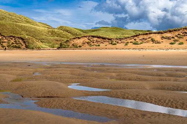
Look along the sand and the rocky coast from the established beach approach. Pause on the established public route and look carefully. Watch your footing as well as the view; keep well away from exposed edges for photographs.
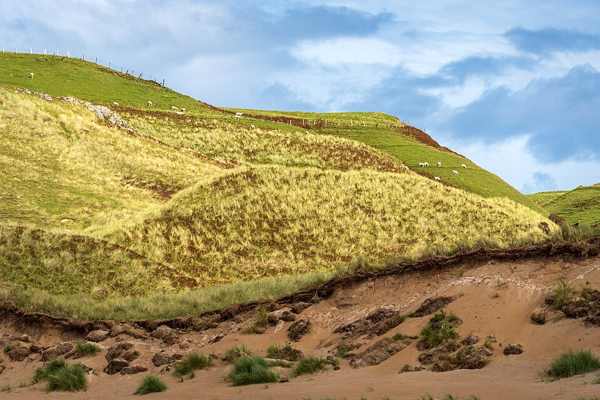
Observe the tall dune system from the public route without climbing its vegetated slopes. Compare this feature with the wider surroundings. Use permitted approaches, leave plants and wildlife undisturbed and avoid shortcuts across adjoining land or fragile coastal vegetation.
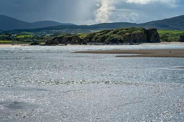
The five stacks towards the northern end are most visible at lower water. Choose a comfortable turning point before conditions limit the return. A shorter visit still reveals the place’s character; you need not reach every visible landmark.
The story behind the visit
The strand takes its name from five sea stacks at the northern end, visible more clearly at low tide. They provide a distinctive landmark, but the beach is also notable for its dune system. Fáilte Ireland records dunes exceeding thirty metres in height and describes their role within a varied ecosystem. That makes the landward edge part of the attraction rather than simply a convenient place to climb for a broader photograph of the sand. Source ↗
The shoreline belongs to the wider Trawbreaga Bay landscape, where exposed coast and sheltered water support different habitats. A walk can focus on those contrasts without entering the sea. Strong currents are specifically identified in official visitor advice, which recommends against swimming. Keep that warning separate from the beach’s visual appeal: sunshine, a broad strand or other people nearby do not change the underlying need for caution. Follow local signs and choose a return before the tide reduces the available shore. Source ↗
Visitor information
Use the signed Five Fingers Strand approach off the Malin Town–Malin Head route. Keep local access clear and follow current parking signs. Official visitor information ↗
Confirm current access and visitor arrangements with the operator.
No. Choose a shorter permitted outing that fits conditions and leaves a straightforward return. Source ↗
No. This is a land-based visit; water activities need separate current safety advice. Source ↗
Nearby options
Explore other places in the area, then use live directions to plan your journey.
heritage
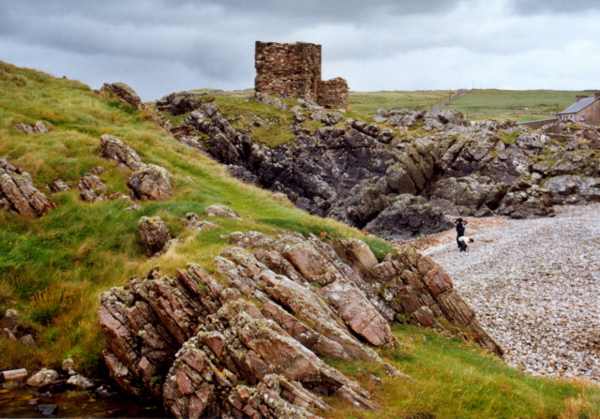
Carrickabraghy Castle stands on a rocky outcrop overlooking Trawbreaga Bay on the Isle of Doagh, Inishowen. Its surviving stonework and exposed coastal position make a compact heritage visit with a strong…
Open place page →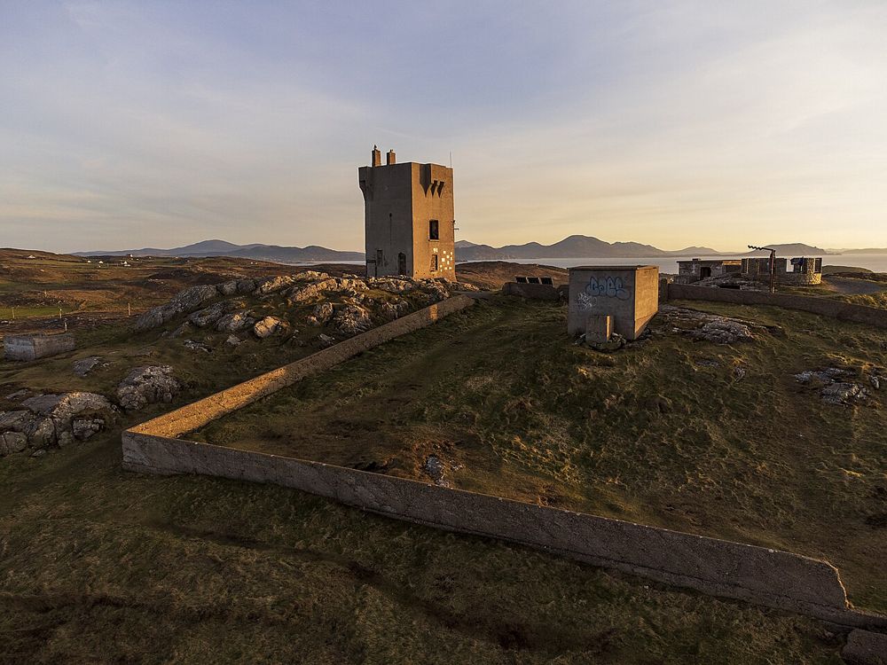
coast
Malin Head is a place to understand distance: the Atlantic fills the outlook, while low headland features and scattered buildings give scale to the exposure. The geographical label draws people here, but the…
Open place page →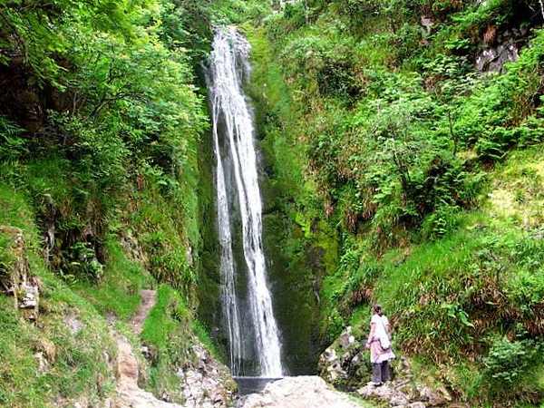
nature
Glenevin Waterfall is reached by a short valley walk near Clonmany on Inishowen. The approach is as much a part of the visit as the cascade: follow the established path beside the stream and let the enclosed…
Open place page →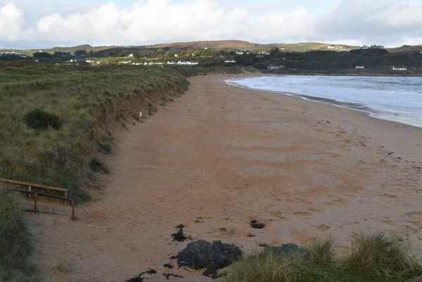
coast
Culdaff Beach brings sand, dunes, rock outcrops and a river mouth together on the Inishowen coast. Its interest lies in the different edges of the bay, not just the space for a beach walk. Start from the…
Open place page →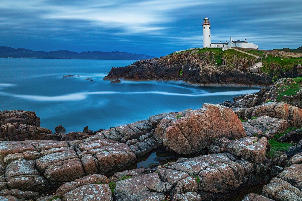
heritage
Fanad is immediately recognisable from its white lighthouse above dark rock and open water. A tour adds a reason to look beyond the façade: the purpose of the light, the keepers’ work and the coast’s maritime…
Open place page →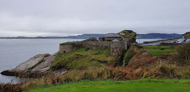
heritage
Fort Dunree places military history in a dramatic Inishowen coastal setting. Choose how much time belongs inside the museum and how much to the surrounding paths; an exposed outdoor extension asks for…
Open place page →Location & access
Official visitor advice does not recommend swimming because of strong currents. Keep off fragile dunes and avoid approaching the sea stacks.
55.31927, -7.33562 · Reference point; confirm the correct entrance and access. Map © OpenStreetMap contributors.
Orientation only: a verified public entrance is not established by this pin. Use the operator arrival information before travel.