Skip to content
TheLazyNick

coast · Donegal

Culdaff Beach

Culdaff Beach brings sand, dunes, rock outcrops and a river mouth together on the Inishowen coast. Its interest lies in the different edges of the bay, not just the space for a beach walk. Start from the established public approach and take time to look across the shoreline before setting off.

Add to planSaved trips & places

Saved on this browser. No account needed.

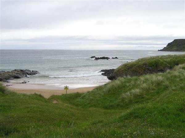
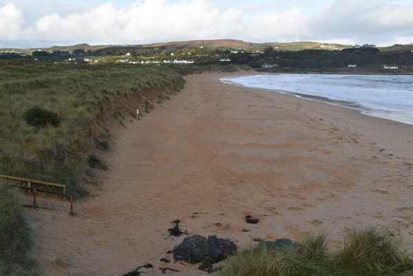
Culdaff Beach from the dunes
Culdaff Beach from the dunes. Resized for display. Photo: N Chadwick ↗ · CC BY-SA 2.0

From research

Is this worth your time?

Choose Culdaff if you enjoy a beach with several distinct natural features within one view. A short walk can take in the dune-backed sand and the changing relationship between rocks and water. Keep the river mouth and exposed outcrops as things to observe rather than invitations to wade or scramble.

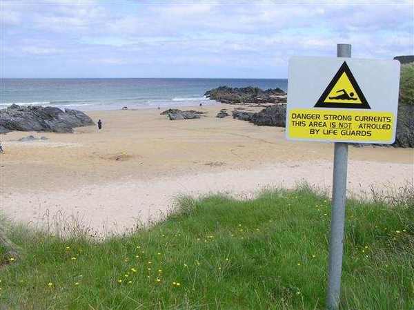
Know before you book: This is a coastal land visit. Tide, waves and weather can change access; a beach designation does not guarantee safe swimming.

Place highlights

What you will actually see

01

The open shore

Pause at the established approach before beginning your walk. Look along the sand and towards Culdaff River, noticing which sections remain comfortably accessible. An out-and-back route makes it easier to shorten the visit when the weather or available shore changes.

02

The coastal edges

Look at the contrast between the main beach and the land at its margins. Keep to established access and open sand, leaving vegetation and wildlife undisturbed. Avoid using rocks, dunes or river mouths as shortcuts to extend your route.

03

A changing seascape

Take time to watch how water, cloud and light alter the view. A beach can be rewarding without entering the sea. Keep enough space from breaking waves and leave yourself a straightforward return to the public access point.

The story behind the visit

The story behind the place

The EPA identifies two rock outcrops at the south-eastern end of the beach, dunes to the west and the Culdaff River to the north-west. Those boundaries explain why the beach feels varied even during a brief visit. Sand is only one element of the scene. River water, tidal movement and the harder rock edges create different habitats, so an attentive walk can be more rewarding than simply reaching the far end. Source ↗

Relatively unspoilt coastal habitats around the river support a range of plant and animal life. Birdwatching is one reason to pause, but sightings are never guaranteed and wildlife should have space to feed undisturbed. Observe from the established beach route and resist crossing vegetation to obtain a closer view. This is a working natural shoreline whose boundaries shift, so the sensible route is the one that remains clearly accessible on the day. A measured visit gives room to notice these changes without leaving the established public shore. Source ↗

Visitor information

Tickets, timing and access

Opening
Plan a daylight visit and obey current closures or local beach signs.Confirm with the operator ↗
Admission
Use current local notices for any parking charges or managed-access arrangements.Confirm with the operator ↗
Booking
An independent beach walk needs no organised departure; book any water activity separately.Confirm with the operator ↗
Access
Use the established public approach; avoid dunes, unstable rocks and river mouths.Confirm with the operator ↗
Duration
Allow about an hour for a relaxed out-and-back walk, adjusted to conditions.Confirm with the operator ↗
Seasonal
Check current EPA notices and weather. Never assume lifeguards operate outside posted hours.Confirm with the operator ↗

Getting to the entrance

Follow the signed public beach approach near Culdaff on Inishowen; use local signs to choose the permitted access. Official visitor information ↗

Your questions, answered

Confirm current access and visitor arrangements with the operator.

Is swimming included in this visit?

No. Check current water quality, flags, conditions and local safety advice before considering the water. Source ↗

Must I walk the whole beach?

No. Choose a comfortable turning point and return before tide or weather reduces your options. Source ↗

Nearby options

Nearby places to explore

Explore other places in the area, then use live directions to plan your journey.

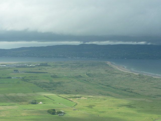
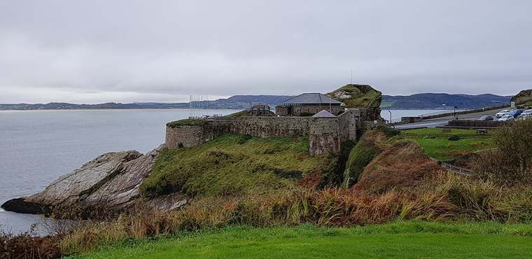
Magilligan Point viewed from Gortmore
Magilligan Point viewed from Gortmore. Credited source photograph; appearance and access may have changed. Resized from the original. Photo: Carroll Pierce ↗ · CC BY-SA 2.0

coast

Magilligan Point

Magilligan Point is an edge-of-the-map kind of stop: flat open shore, Lough Foyle ahead and the Donegal side clearly part of the view. It rewards a pause more than a long list of activities.

Open place page →
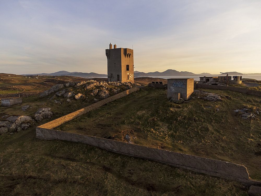
Exposed Atlantic headland at Malin Head
Exposed Atlantic headland at Malin Head. Source photograph; conditions and access may have changed. Photo: Greg Clarke ↗ · CC BY 2.0

coast

Malin Head

Malin Head is a place to understand distance: the Atlantic fills the outlook, while low headland features and scattered buildings give scale to the exposure. The geographical label draws people here, but the…

Open place page →
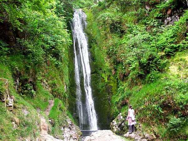
Glenevin Waterfall in its wooded glen
Glenevin Waterfall in its wooded glen. Resized for display. Photo: David Ayrton ↗ · CC BY-SA 2.0

nature

Glenevin Waterfall

Glenevin Waterfall is reached by a short valley walk near Clonmany on Inishowen. The approach is as much a part of the visit as the cascade: follow the established path beside the stream and let the enclosed…

Open place page →
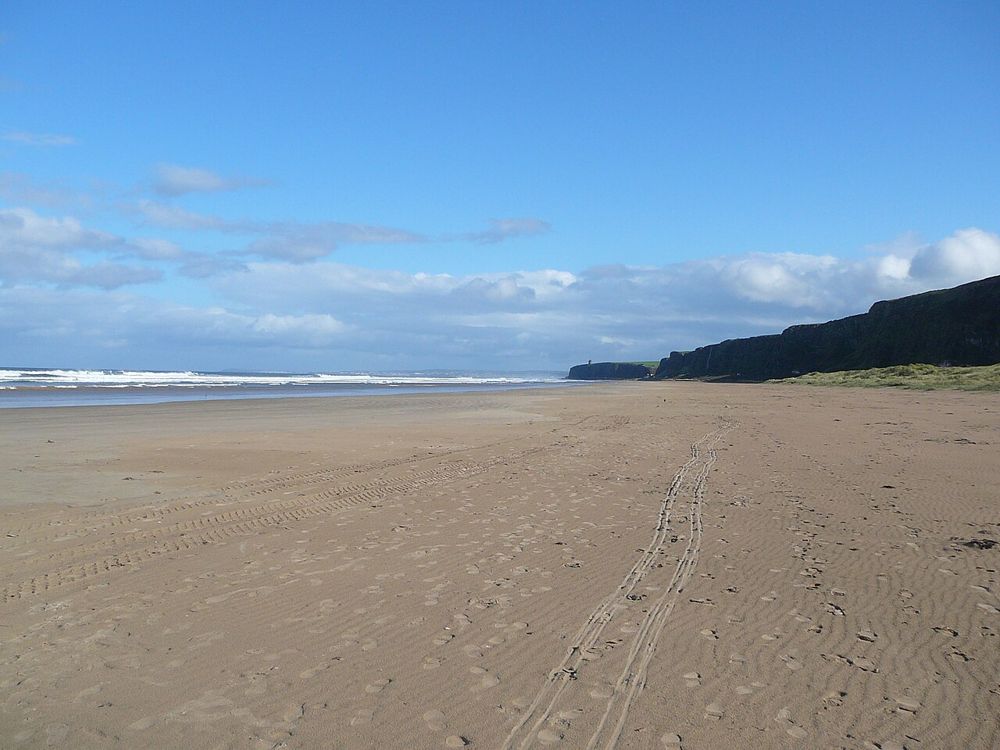
The open coastal setting at Benone Strand
The open coastal setting at Benone Strand. Resized from the credited source; appearance and access may have changed. Photo: Bjmullan (talk) ↗ · CC BY-SA 3.0

coast

Benone Strand

Benone is a beach for breathing space: broad sand, an open horizon and the coastline continuing towards Downhill. Its scale is the attraction, so a simple shore walk often makes more sense than a crowded…

Open place page →
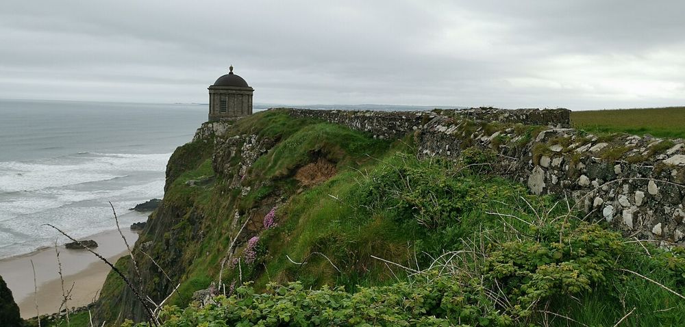
Mussenden Temple above the County Derry coast
Mussenden Temple above the County Derry coast. Resized from the credited source; appearance and access may have changed. Photo: Z thomas ↗ · CC BY-SA 4.0

heritage

Mussenden Temple and Downhill Demesne

Mussenden Temple is striking because of its position, but Downhill Demesne supplies the larger story. The small circular building, ruined house and open coast form one landscape that deserves more than a…

Open place page →

External visitor reviews

Find the matching listing and reviews on Google Maps ↗

Part of a bigger journey

Location & access

Getting your bearings

This is a coastal land visit. Tide, waves and weather can change access; a beach designation does not guarantee safe swimming.

55.29397, -7.14634 · Reference point; confirm the correct entrance and access. Map © OpenStreetMap contributors.

Orientation only: a verified public entrance is not established by this pin. Use the operator arrival information before travel.

Sources & place context

Browse more Ireland places →